Elevation of Vernon Rd, Hestand, KY, USA
Location: United States > Kentucky > Monroe County > Hestand >
Longitude: -85.519337
Latitude: 36.6468673
Elevation: 196m / 643feet
Barometric Pressure: 99KPa
Elevation Map:
Satellite Map:
Related Photos:

Clay County, TN Courthouse - Celina, TN

Valley View Motel - Celina, TN

Clay County Courthouse - Celina, TN

Riverboat Mural - Celina, TN

Brad's rods with a PVC marker we made in the gap between the pod & bush #fb
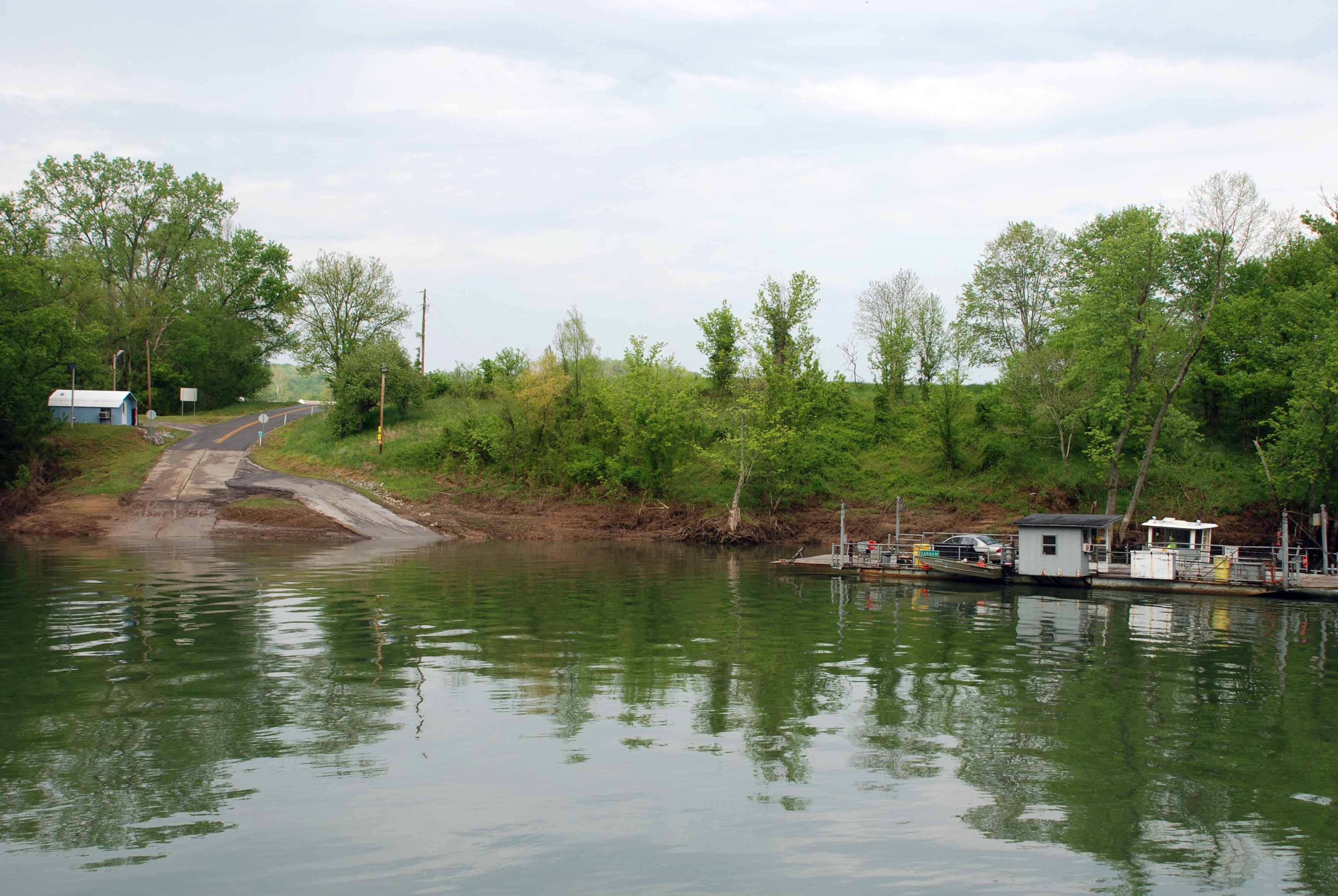
Turkey Neck Bend Ferry

Dale Hollow Stream 1

Pitcock Branch creek - 01

Pitcock Branch creek - 02

Amélie -
Topographic Map of Vernon Rd, Hestand, KY, USA
Find elevation by address:

Places near Vernon Rd, Hestand, KY, USA:
1959 New Hope Rd
Star Point Road
Star Point Road
397 Star Point Rd
Free Hill River Road
Clay County
Happy Valley Rd, Celina, TN, USA
Mcclerran Cemetary Road
6958 Clay County Hwy
State Hwy, Hestand, KY, USA
Hestand
Moss
245 Kendall Rd
245 Kendall Rd
Clay County Highway
487 Union Hill Moss Rd
487 Union Hill Moss Rd
117 Spring Valley Rd
Brady Road
Tompkinsville
Recent Searches:
- Elevation of Corso Fratelli Cairoli, 35, Macerata MC, Italy
- Elevation of Tallevast Rd, Sarasota, FL, USA
- Elevation of 4th St E, Sonoma, CA, USA
- Elevation of Black Hollow Rd, Pennsdale, PA, USA
- Elevation of Oakland Ave, Williamsport, PA, USA
- Elevation of Pedrógão Grande, Portugal
- Elevation of Klee Dr, Martinsburg, WV, USA
- Elevation of Via Roma, Pieranica CR, Italy
- Elevation of Tavkvetili Mountain, Georgia
- Elevation of Hartfords Bluff Cir, Mt Pleasant, SC, USA