Elevation of Hengst Rd, Port Lavaca, TX, USA
Location: United States > Texas > Calhoun County > Port Lavaca >
Longitude: -96.708699
Latitude: 28.6642972
Elevation: 9m / 30feet
Barometric Pressure: 101KPa
Elevation Map:
Satellite Map:
Related Photos:
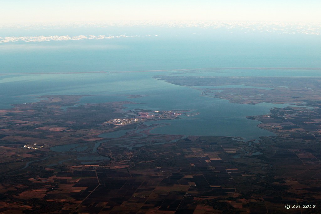
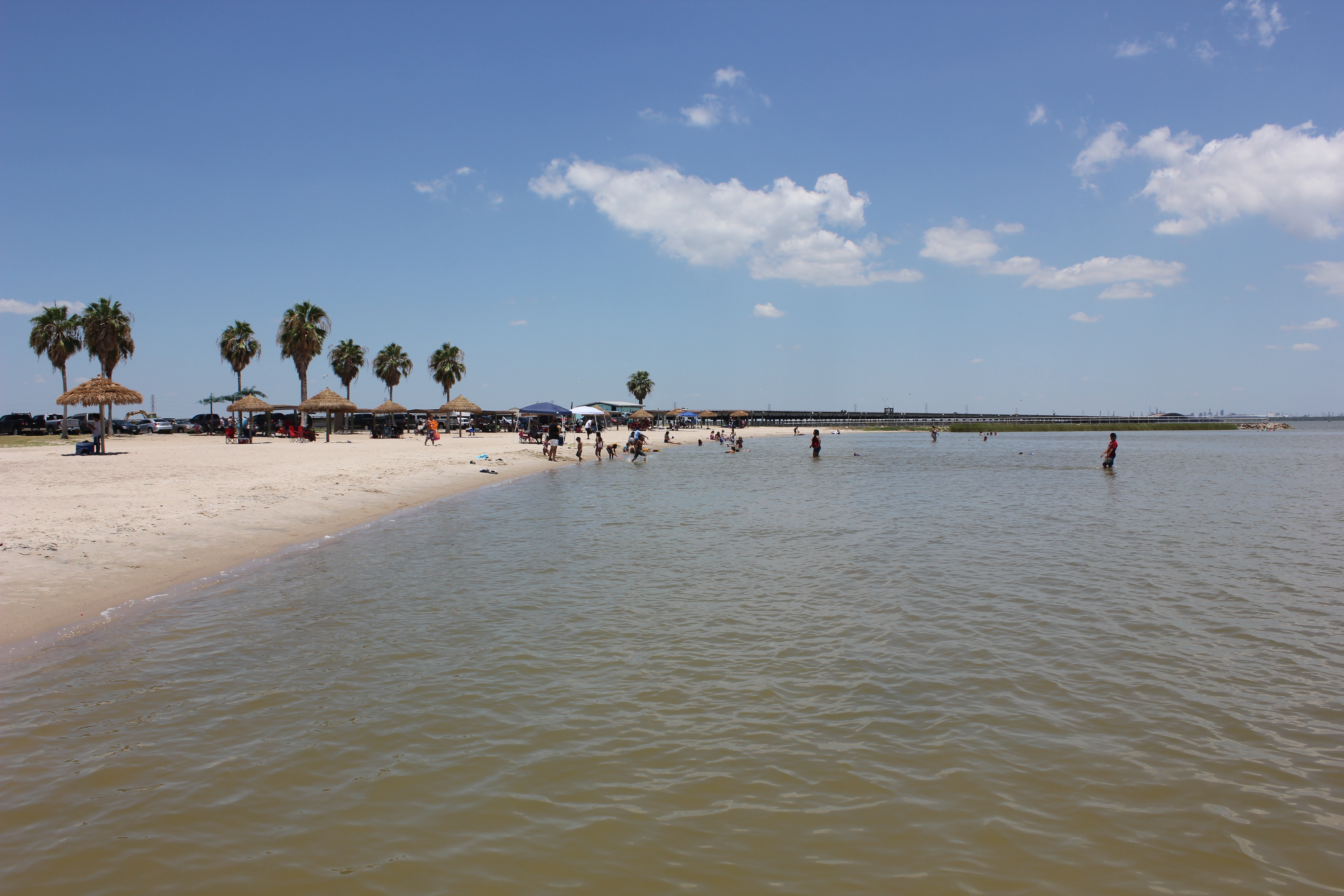
Lavaca Bay
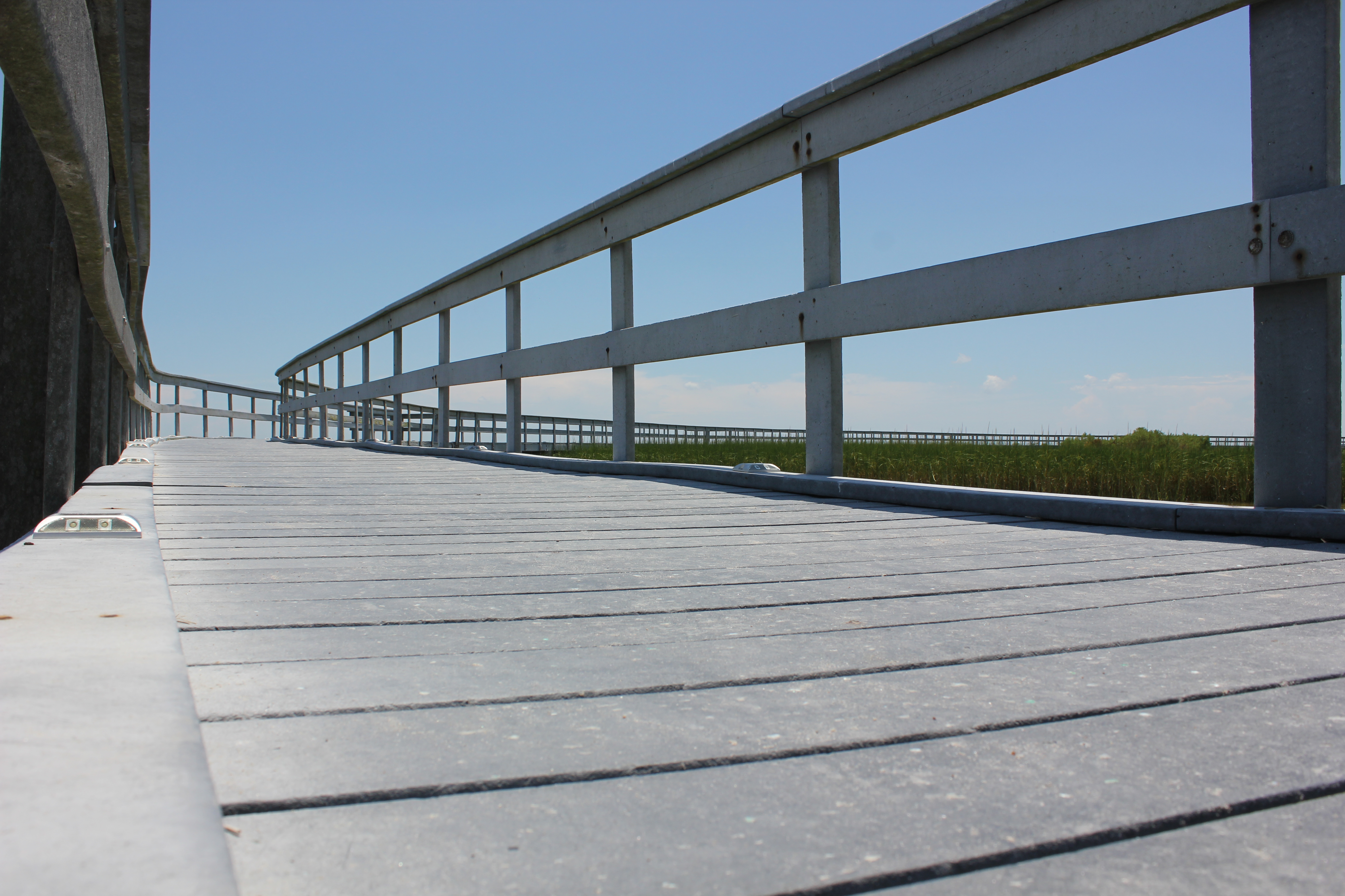
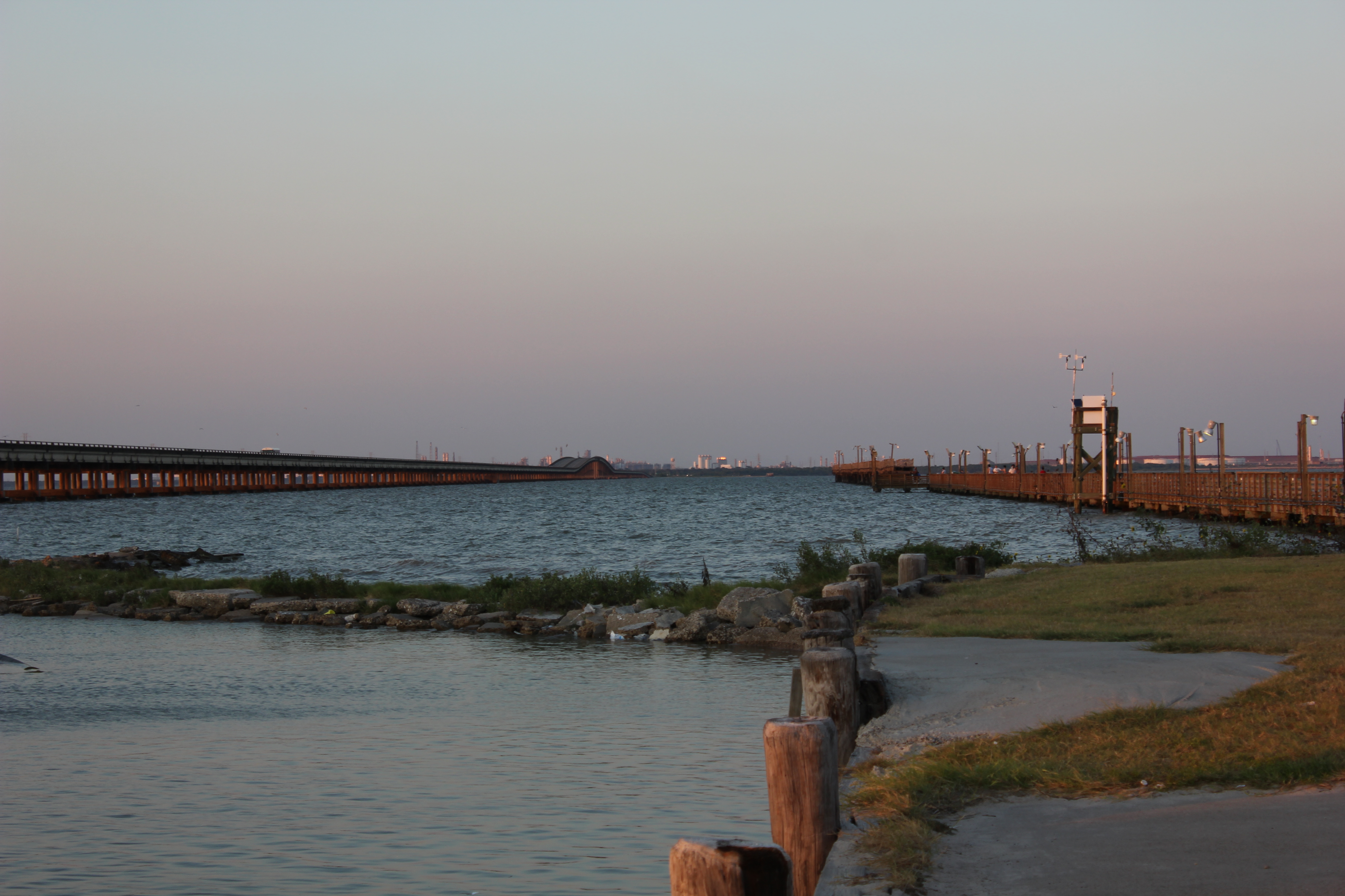
Boardwalk View
Port La Vaca

16 Sun Set
tree shadow
Port Lavaca, Texas

Port Lavaca, Texas

Port Lavaca, Texas
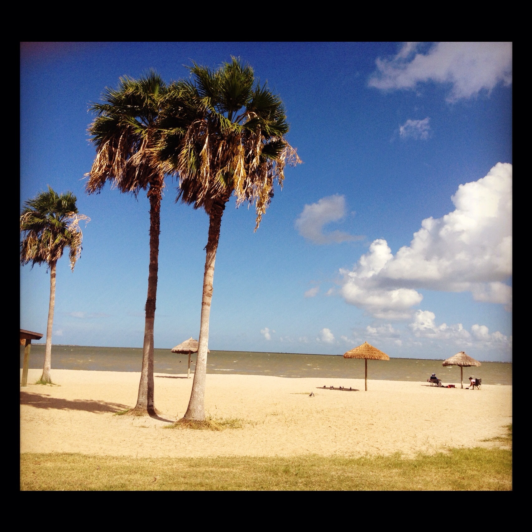
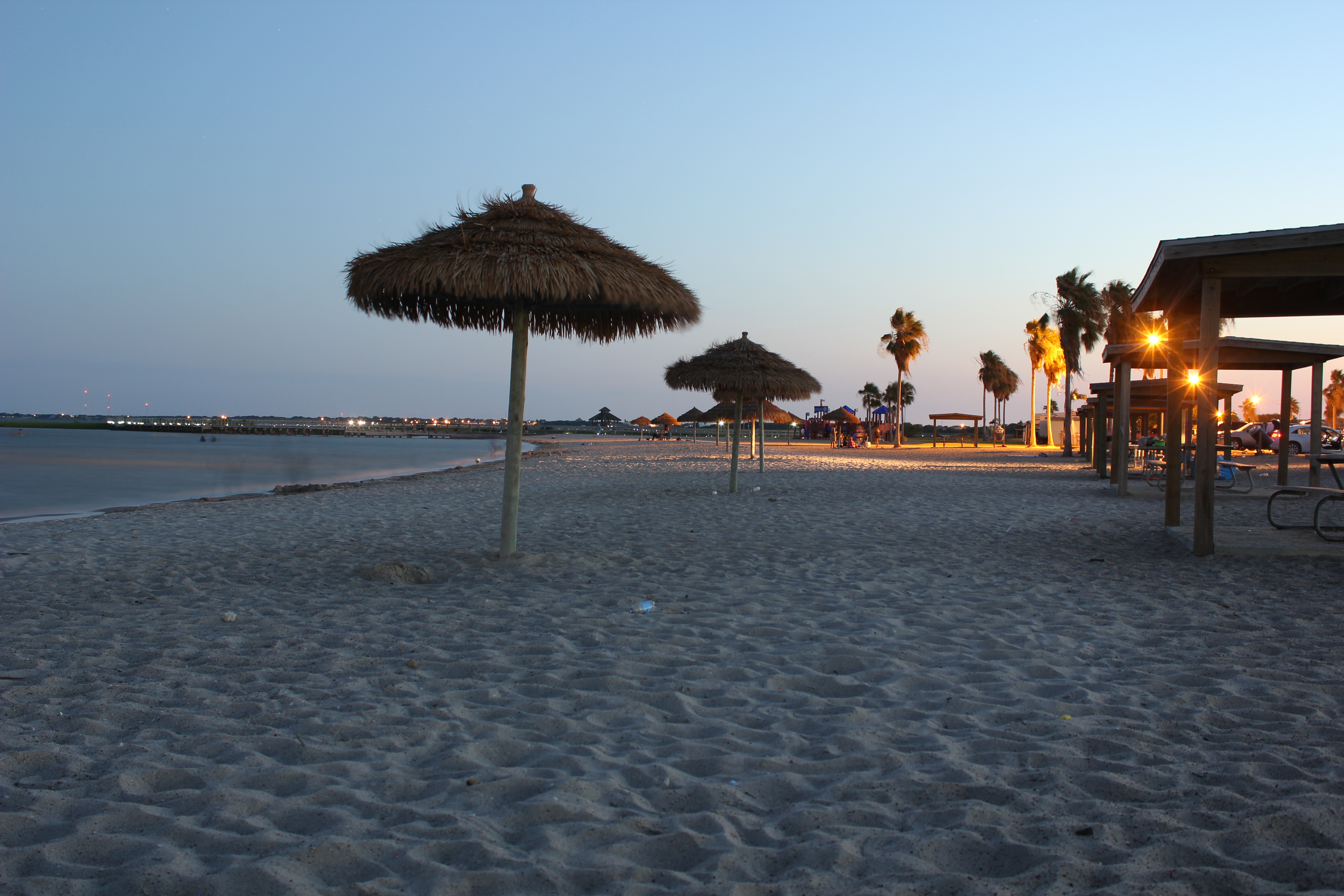
Port Lavaca Beach
Port Lavaca, Texas

Port Lavaca, Texas
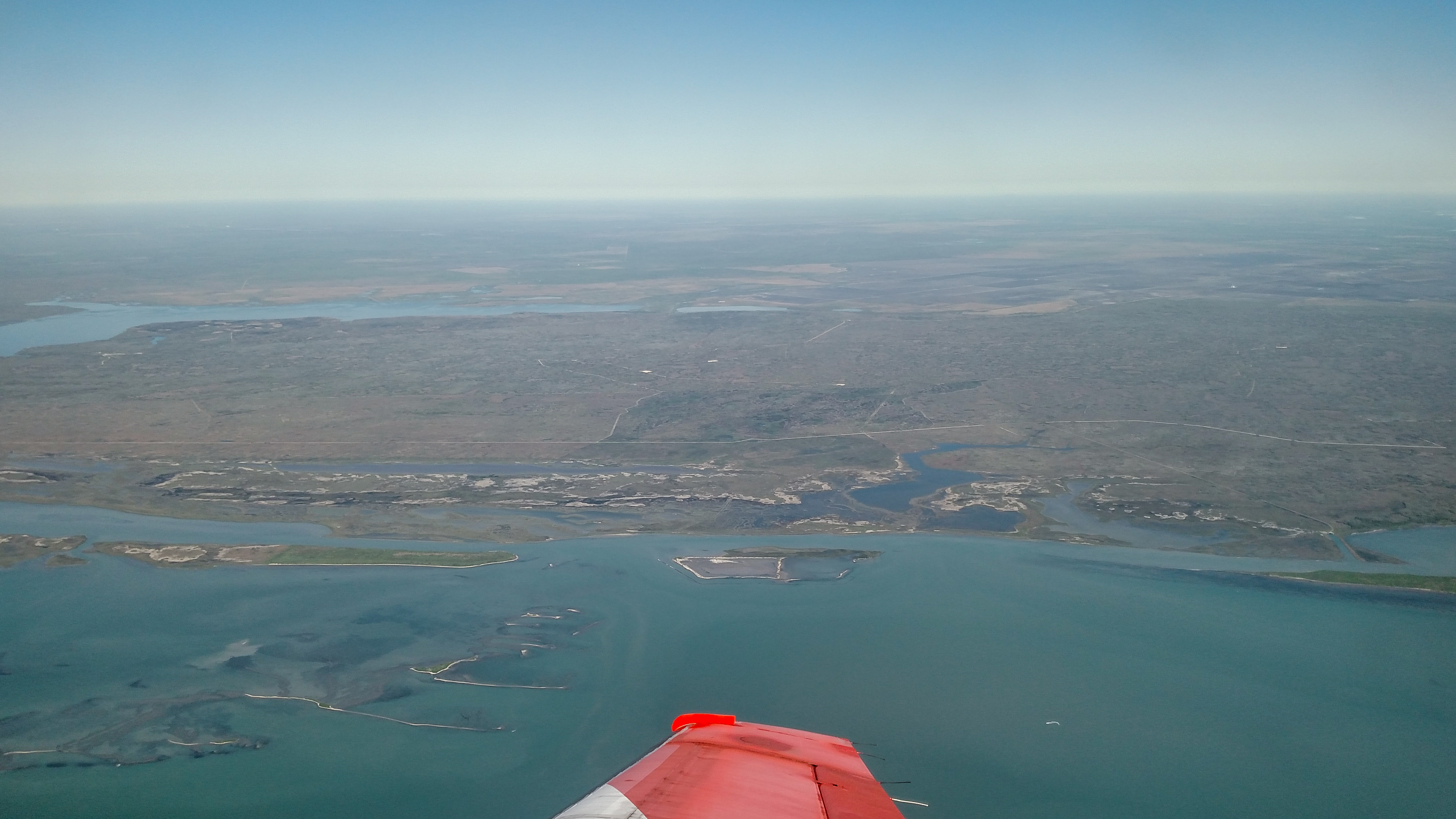
Advanced Flight Training (109 of 126)
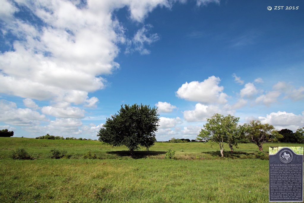
Historical Marker
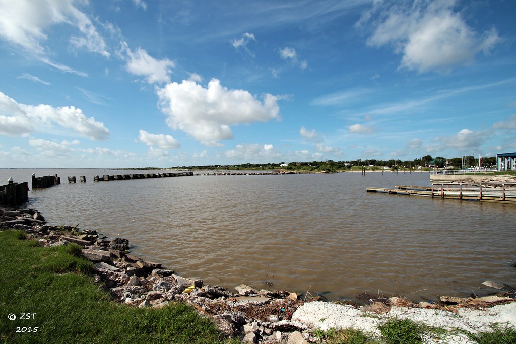
Harbor @ Lavaca
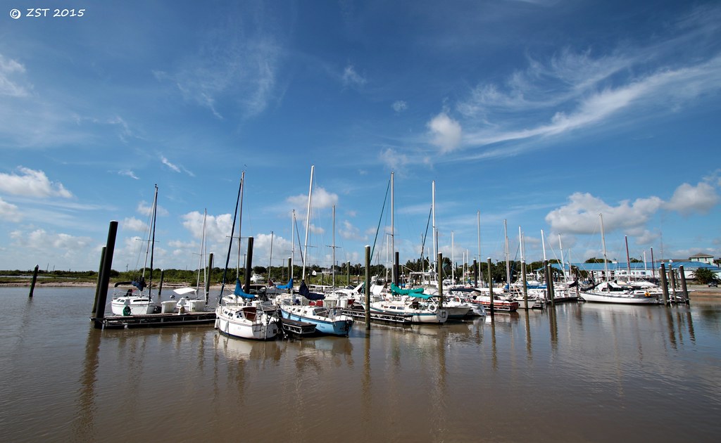
Marina @ Lavaca

Clapper Rail Response
Topographic Map of Hengst Rd, Port Lavaca, TX, USA
Find elevation by address:

Places near Hengst Rd, Port Lavaca, TX, USA:
120 Hengst Rd
Placedo
Peach St, Victoria, TX, USA
2083 Burroughsville Rd
6509 Lone Tree Rd
208 Burroughsville Rd
3607 Lone Tree Rd
3205 Wildwood St
808 Westwood St
303 Tanglewood Dr
Uhv Center
924 Us-59
2507 College Dr
Victoria County
1010 E Commercial St
401 E Santa Rosa St
604 S Main St
Victoria
1505 N Main St
308 W Stayton Ave
Recent Searches:
- Elevation of Corso Fratelli Cairoli, 35, Macerata MC, Italy
- Elevation of Tallevast Rd, Sarasota, FL, USA
- Elevation of 4th St E, Sonoma, CA, USA
- Elevation of Black Hollow Rd, Pennsdale, PA, USA
- Elevation of Oakland Ave, Williamsport, PA, USA
- Elevation of Pedrógão Grande, Portugal
- Elevation of Klee Dr, Martinsburg, WV, USA
- Elevation of Via Roma, Pieranica CR, Italy
- Elevation of Tavkvetili Mountain, Georgia
- Elevation of Hartfords Bluff Cir, Mt Pleasant, SC, USA