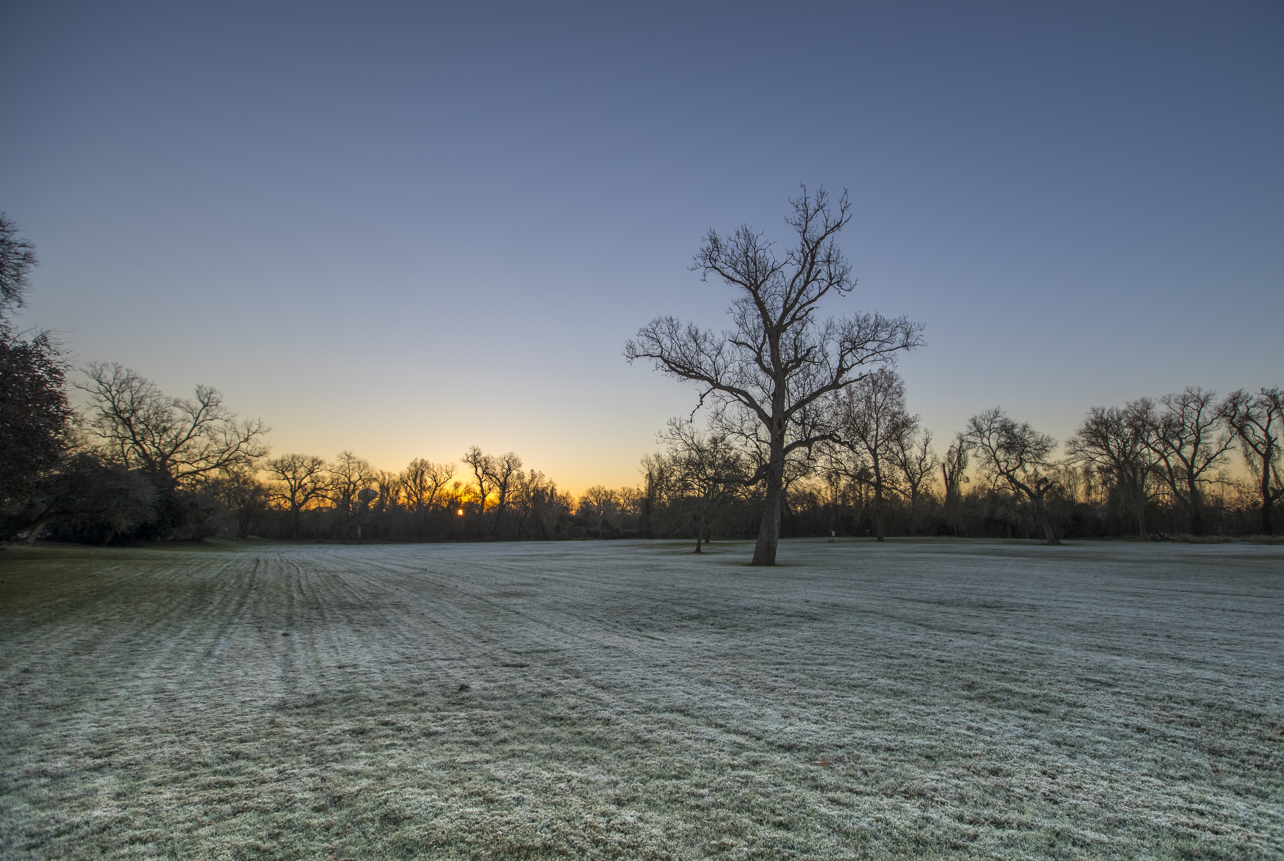
Elevation of Burroughsville Rd, Victoria, TX, USA
Location: United States > Texas > Victoria County > Victoria >
Longitude: -96.938201
Latitude: 28.8277152
Elevation: 30m / 98feet
Barometric Pressure: 101KPa
Elevation Map:
Satellite Map:
Related Photos:

Victoria County Courthouse, Victoria Texas

Victoria County Courthouse
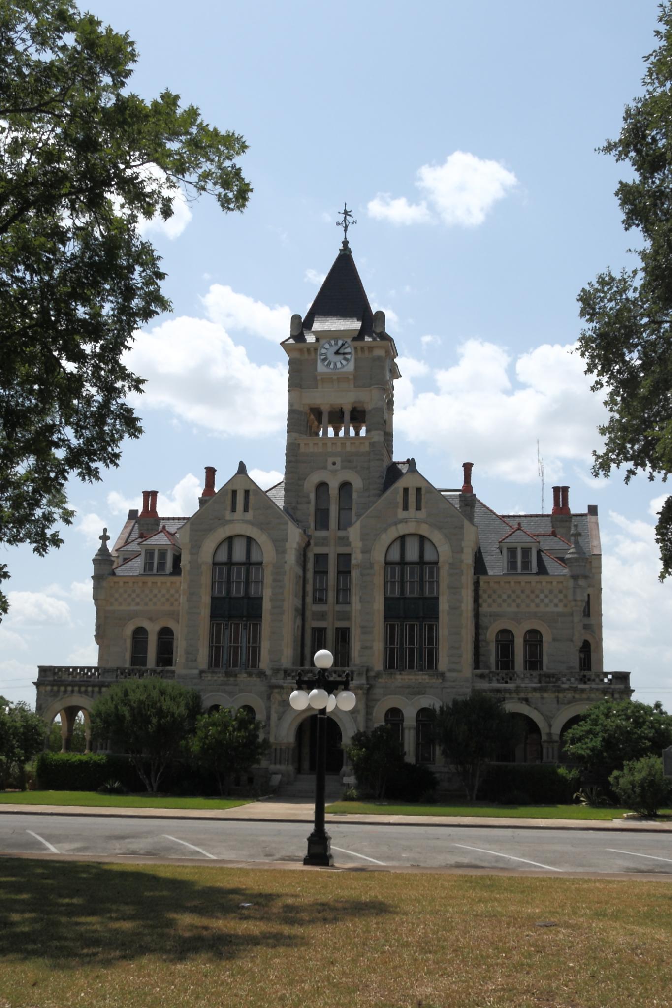
Victoria County Courthouse
2016 June 12

Victoria, TX
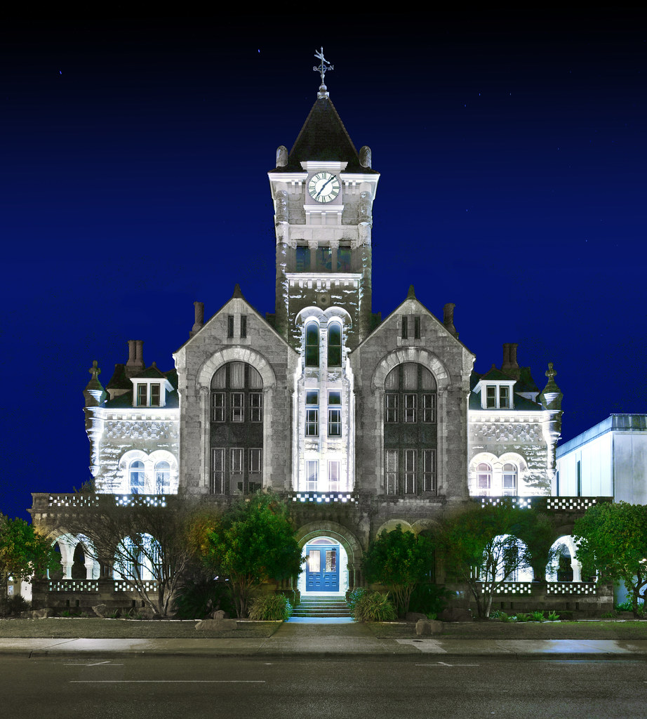
Victoria County Courthouse, Texas 20160206

Don't see this #running in the city! #smalltowntexas #texasrunning #run #htx #htown #houston
Watching the flowers with amy
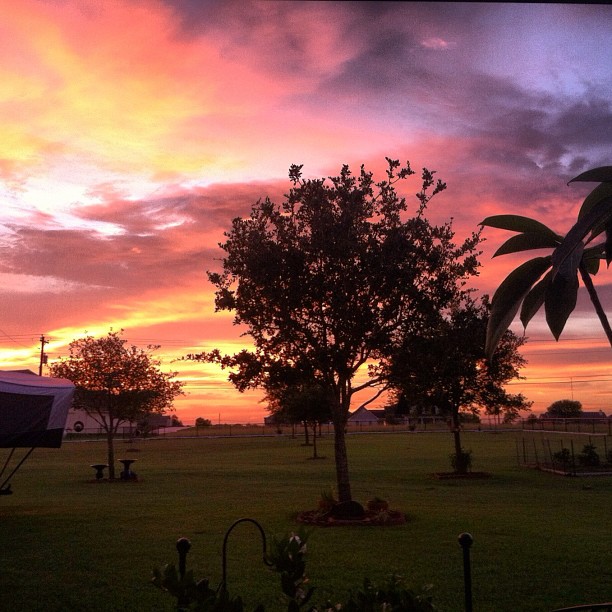
I love you, Texas.
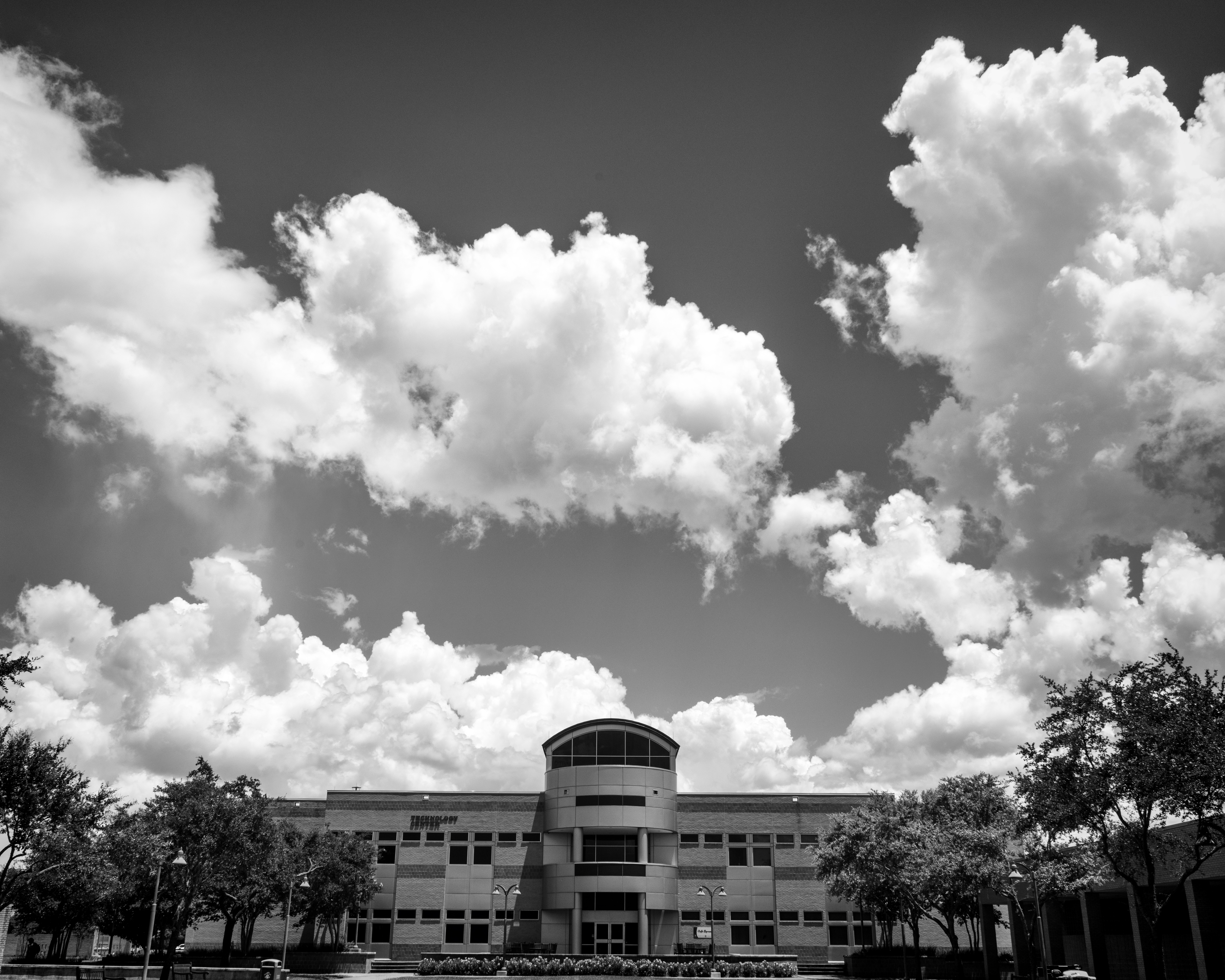
Technology Center Building on Victoria College (with Clouds)
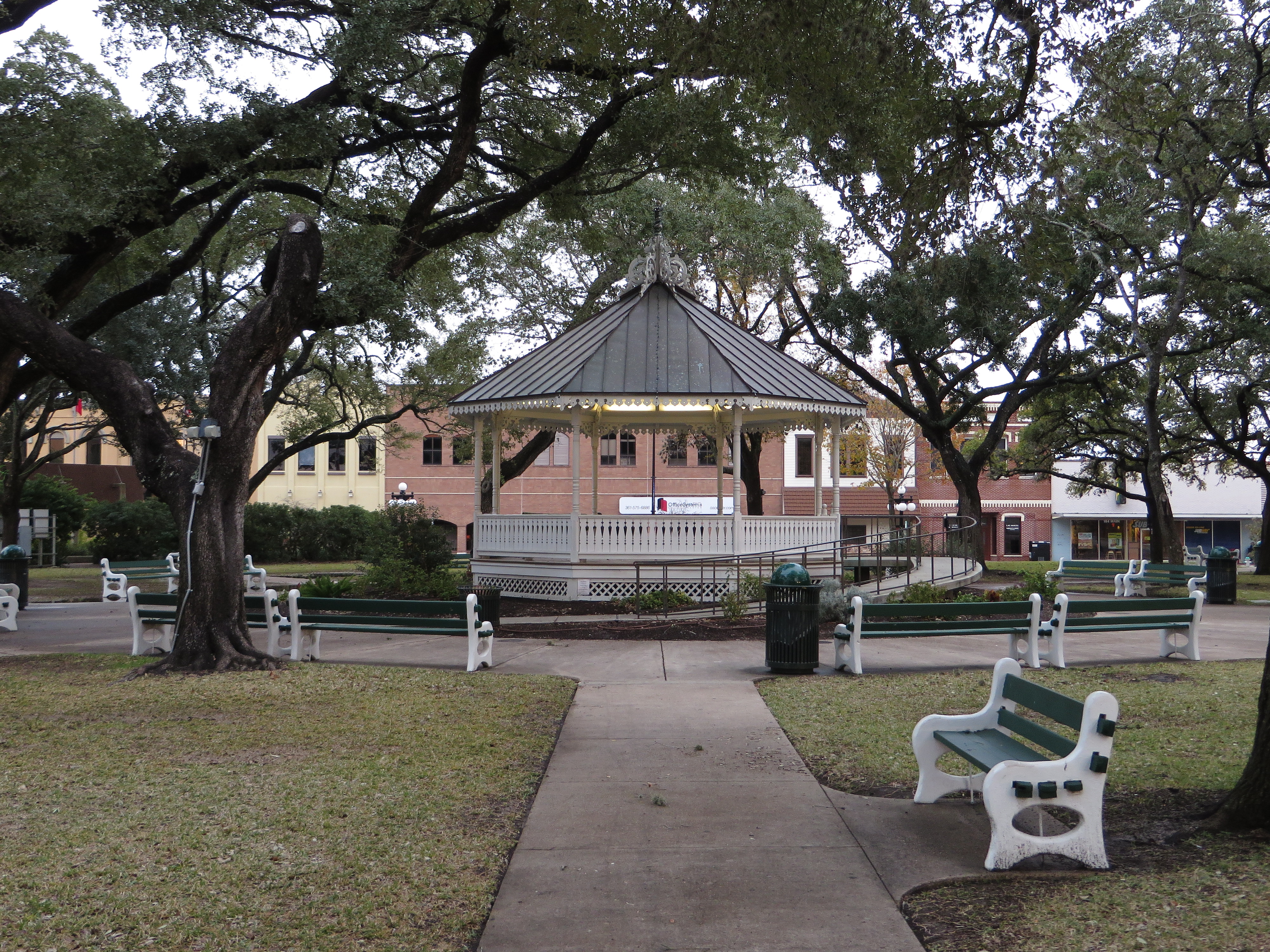
DeLeon Plaza and Bandstand, Victoria, Texas

Guadalupe River
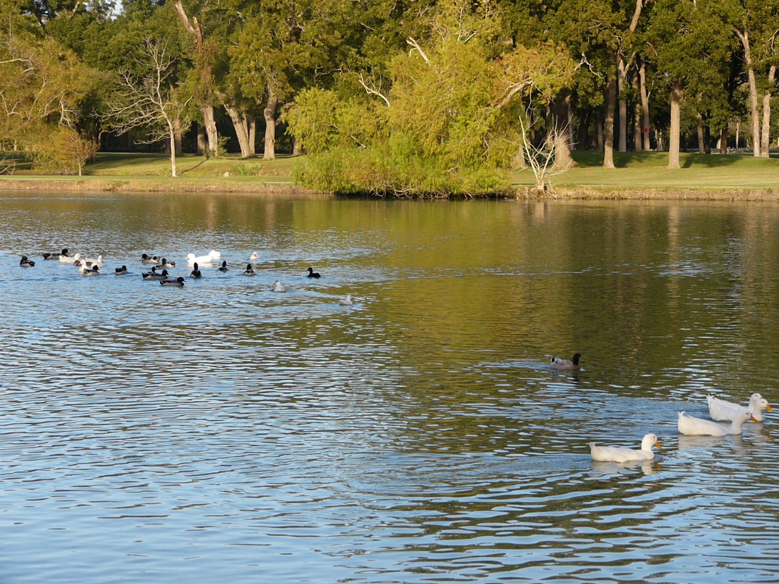
Oh Snap! The Ducks Are Gonna Rumble!
20170108_Victoria_DP_0008 copy
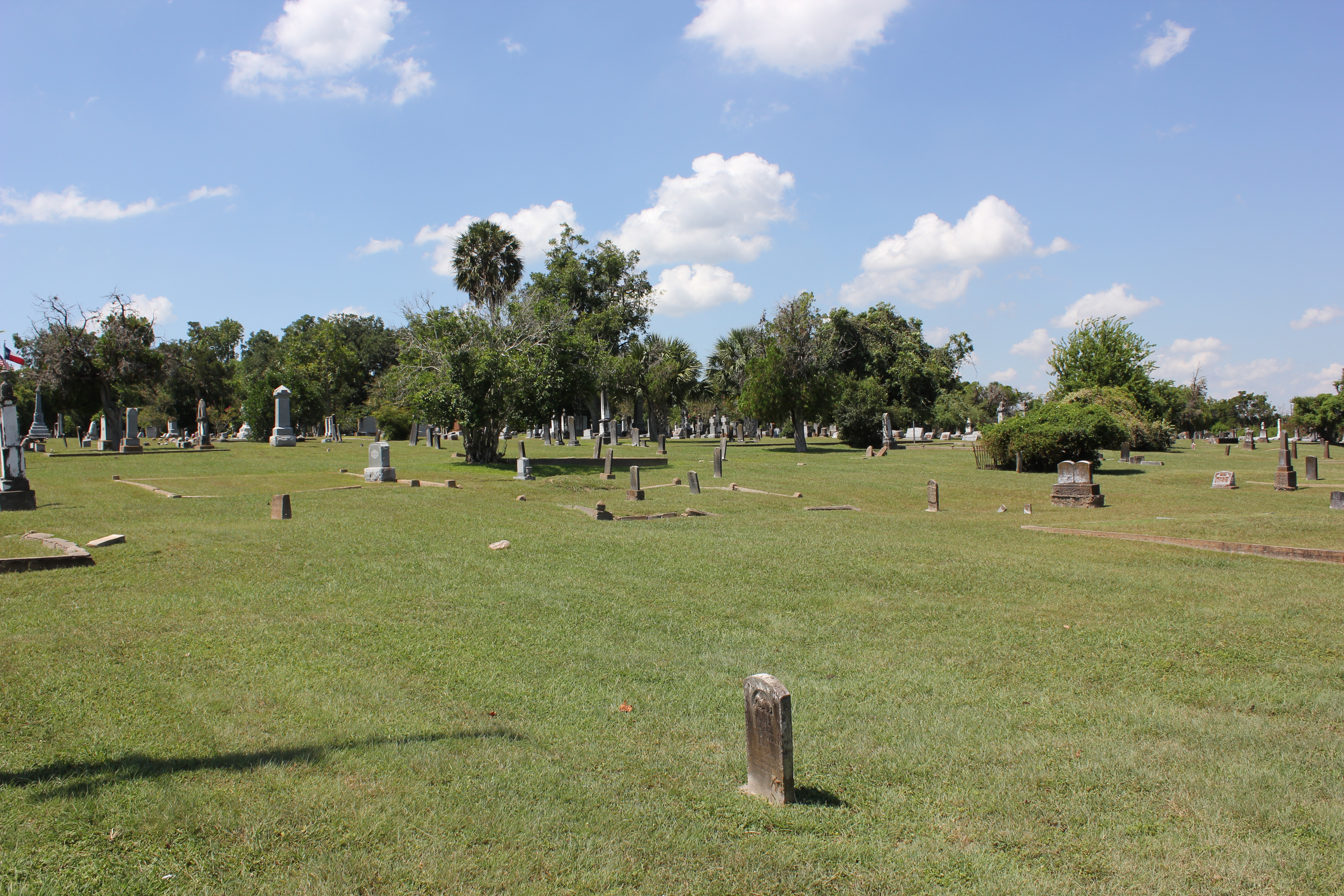
Victoria Cemetery
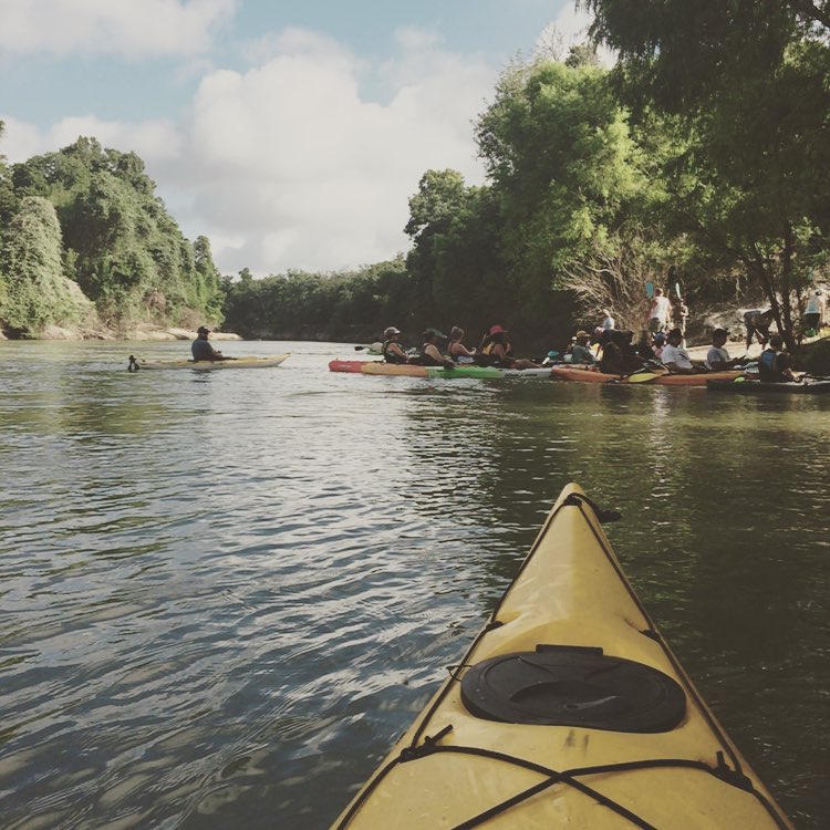
Kayaking Sunday
Topographic Map of Burroughsville Rd, Victoria, TX, USA
Find elevation by address:

Places near Burroughsville Rd, Victoria, TX, USA:
6509 Lone Tree Rd
2083 Burroughsville Rd
808 Westwood St
303 Tanglewood Dr
3607 Lone Tree Rd
3205 Wildwood St
Uhv Center
2507 College Dr
602 E Mistletoe Ave
402 E Loma Vista Ave
402 E Loma Vista Ave
402 E Loma Vista Ave
1010 E Commercial St
1505 N Main St
Victoria
409 Yupon Ave
401 E Santa Rosa St
308 W Stayton Ave
604 S Main St
Peach St, Victoria, TX, USA
Recent Searches:
- Elevation of Corso Fratelli Cairoli, 35, Macerata MC, Italy
- Elevation of Tallevast Rd, Sarasota, FL, USA
- Elevation of 4th St E, Sonoma, CA, USA
- Elevation of Black Hollow Rd, Pennsdale, PA, USA
- Elevation of Oakland Ave, Williamsport, PA, USA
- Elevation of Pedrógão Grande, Portugal
- Elevation of Klee Dr, Martinsburg, WV, USA
- Elevation of Via Roma, Pieranica CR, Italy
- Elevation of Tavkvetili Mountain, Georgia
- Elevation of Hartfords Bluff Cir, Mt Pleasant, SC, USA