Elevation of Burroughsville Rd, Victoria, TX, USA
Location: United States > Texas > Victoria County > Victoria >
Longitude: -96.919852
Latitude: 28.8094955
Elevation: 27m / 89feet
Barometric Pressure: 101KPa
Elevation Map:
Satellite Map:
Related Photos:

Victoria County Courthouse, Victoria Texas

Victoria County Courthouse
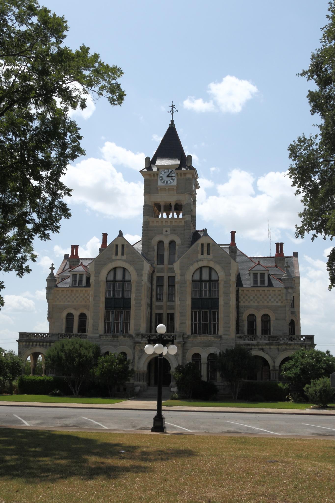
Victoria County Courthouse
2016 June 12

Victoria, TX

Guadalupe River
Watching the flowers with amy

Don't see this #running in the city! #smalltowntexas #texasrunning #run #htx #htown #houston
I love you, Texas.
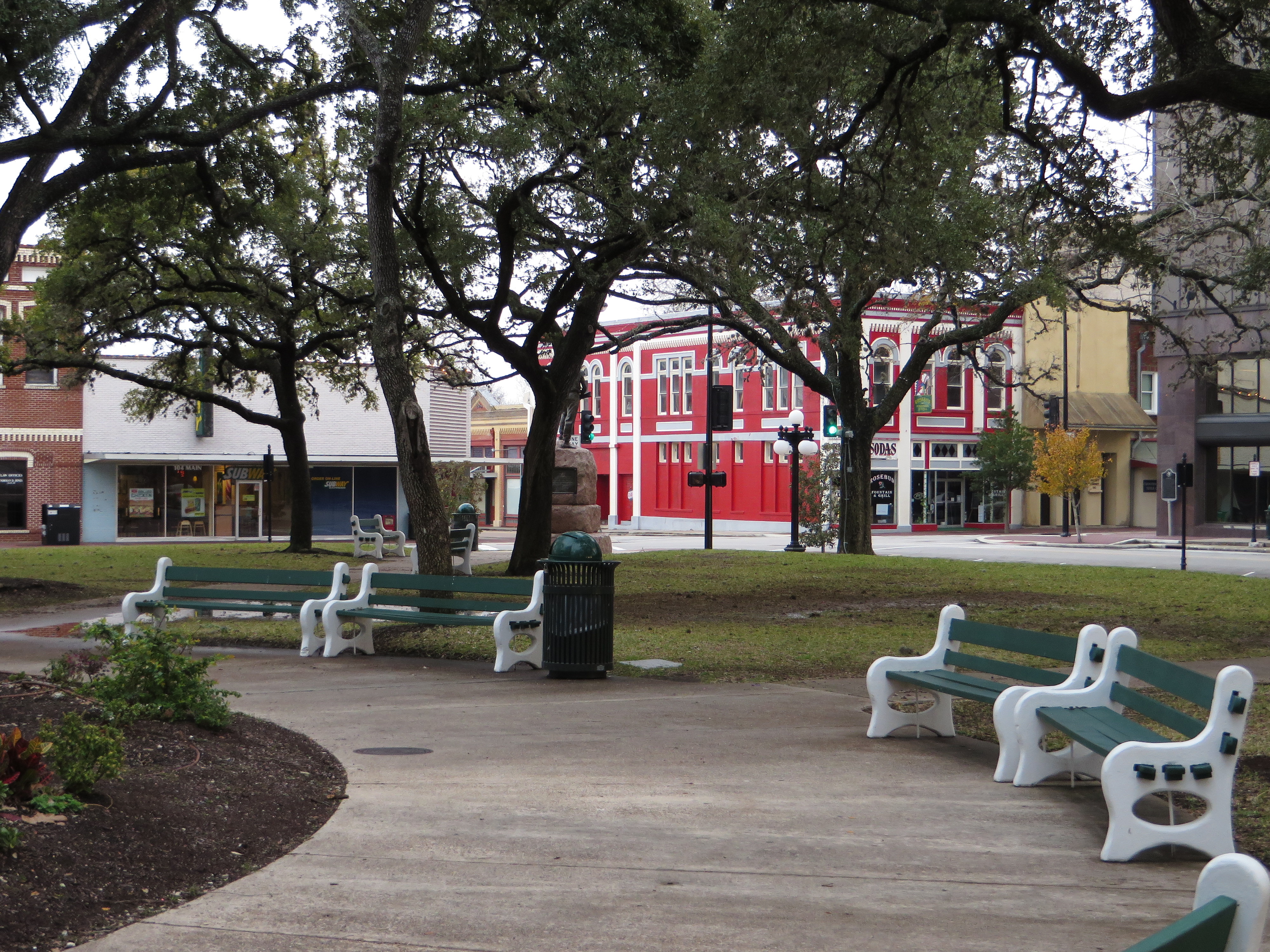
DeLeon Plaza and Bandstand, Victoria, Texas
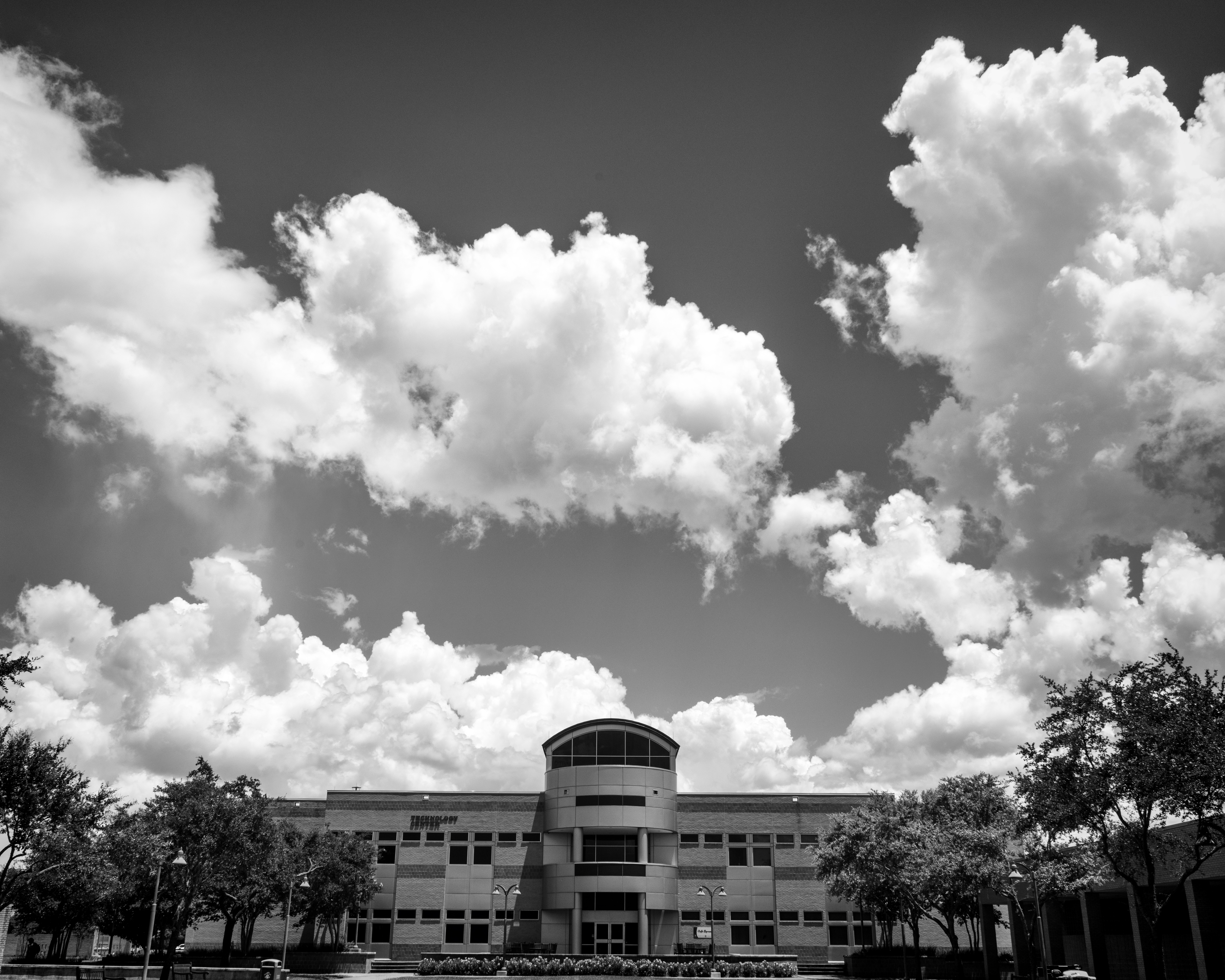
Technology Center Building on Victoria College (with Clouds)
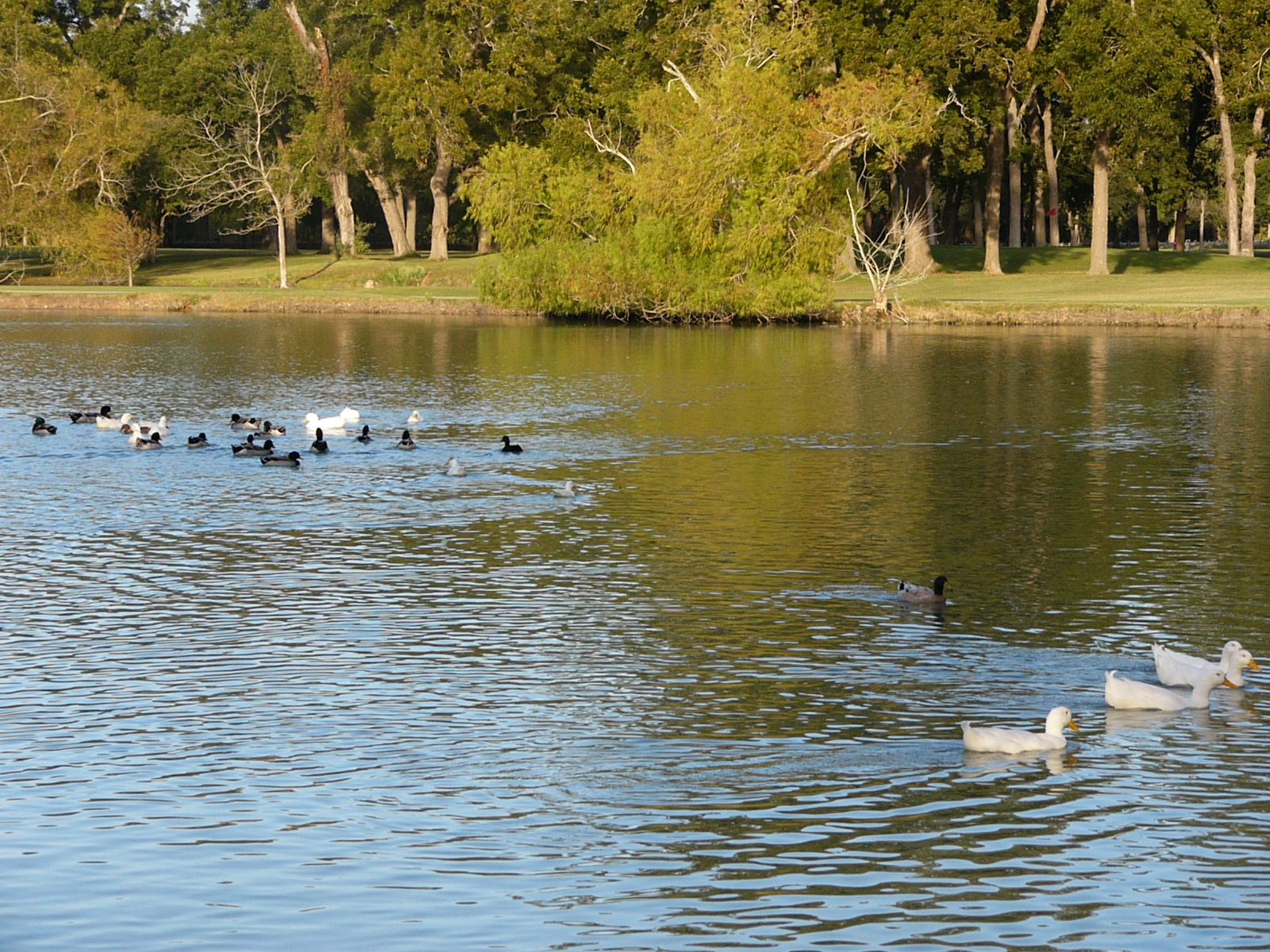
Oh Snap! The Ducks Are Gonna Rumble!
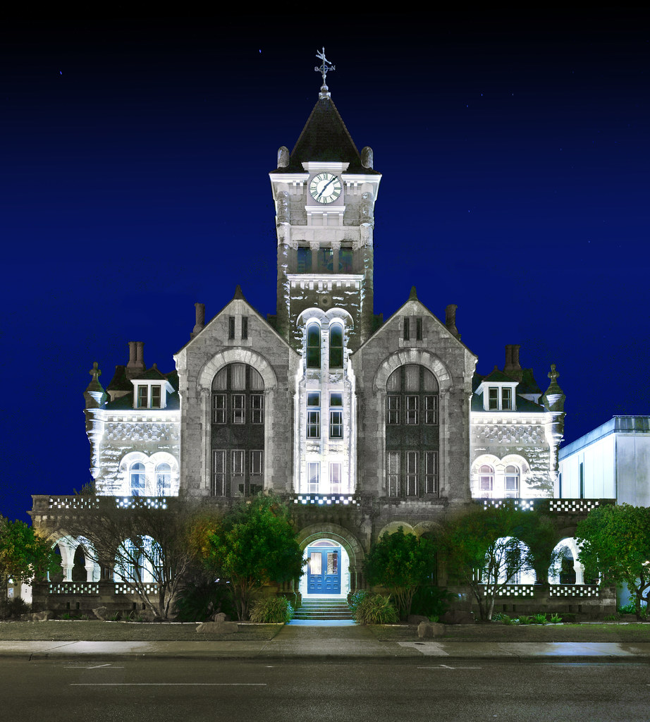
Victoria County Courthouse, Texas 20160206
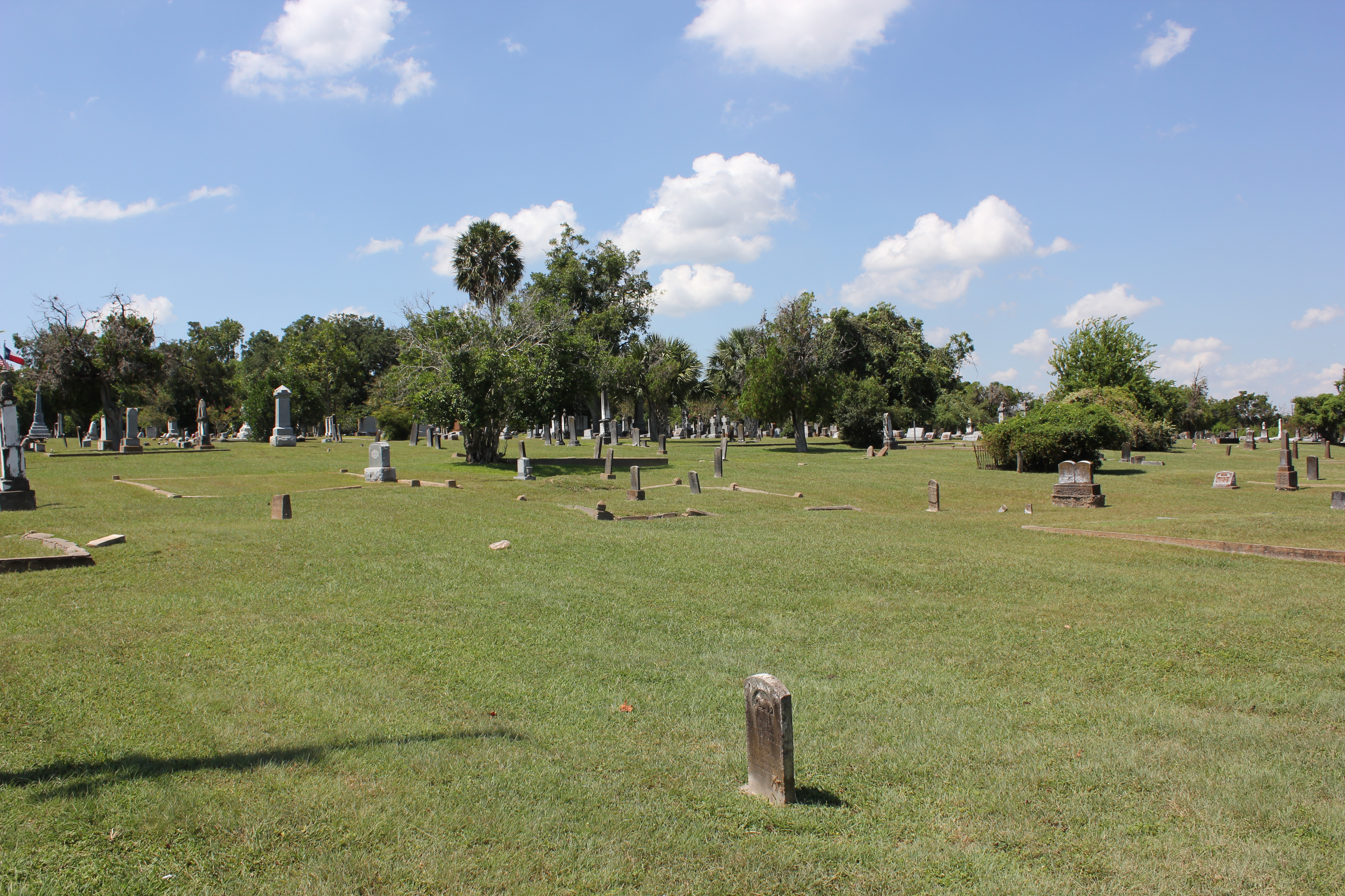
Victoria Cemetery
Plant TBD
Topographic Map of Burroughsville Rd, Victoria, TX, USA
Find elevation by address:

Places near Burroughsville Rd, Victoria, TX, USA:
6509 Lone Tree Rd
208 Burroughsville Rd
3607 Lone Tree Rd
808 Westwood St
303 Tanglewood Dr
3205 Wildwood St
Uhv Center
Peach St, Victoria, TX, USA
2507 College Dr
1010 E Commercial St
402 E Loma Vista Ave
402 E Loma Vista Ave
402 E Loma Vista Ave
602 E Mistletoe Ave
Victoria
1505 N Main St
401 E Santa Rosa St
308 W Stayton Ave
604 S Main St
409 Yupon Ave
Recent Searches:
- Elevation of Corso Fratelli Cairoli, 35, Macerata MC, Italy
- Elevation of Tallevast Rd, Sarasota, FL, USA
- Elevation of 4th St E, Sonoma, CA, USA
- Elevation of Black Hollow Rd, Pennsdale, PA, USA
- Elevation of Oakland Ave, Williamsport, PA, USA
- Elevation of Pedrógão Grande, Portugal
- Elevation of Klee Dr, Martinsburg, WV, USA
- Elevation of Via Roma, Pieranica CR, Italy
- Elevation of Tavkvetili Mountain, Georgia
- Elevation of Hartfords Bluff Cir, Mt Pleasant, SC, USA