Elevation of Hebert Rd, Williamstown, VT, USA
Location: United States > Vermont > Orange County > Williamstown >
Longitude: -72.546165
Latitude: 44.140259
Elevation: 317m / 1040feet
Barometric Pressure: 98KPa
Elevation Map:
Satellite Map:
Related Photos:
mouse-eye • view
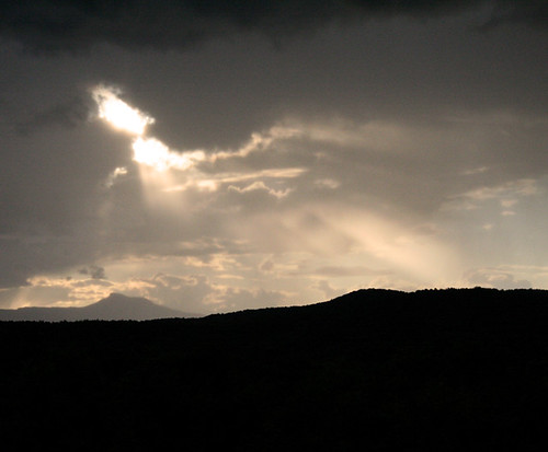
breaking through
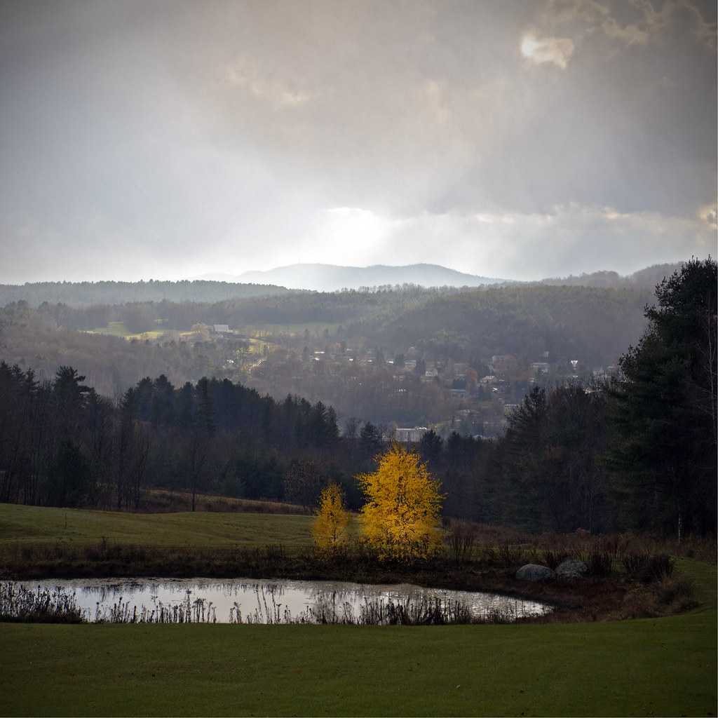
Before the First Snow

Monrning view with clouds

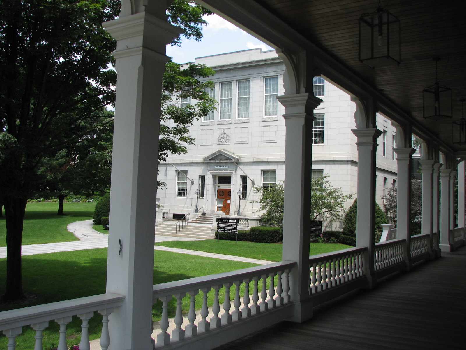
The view from Hubbard Park tower
Montpelier, VT, State House view (2)
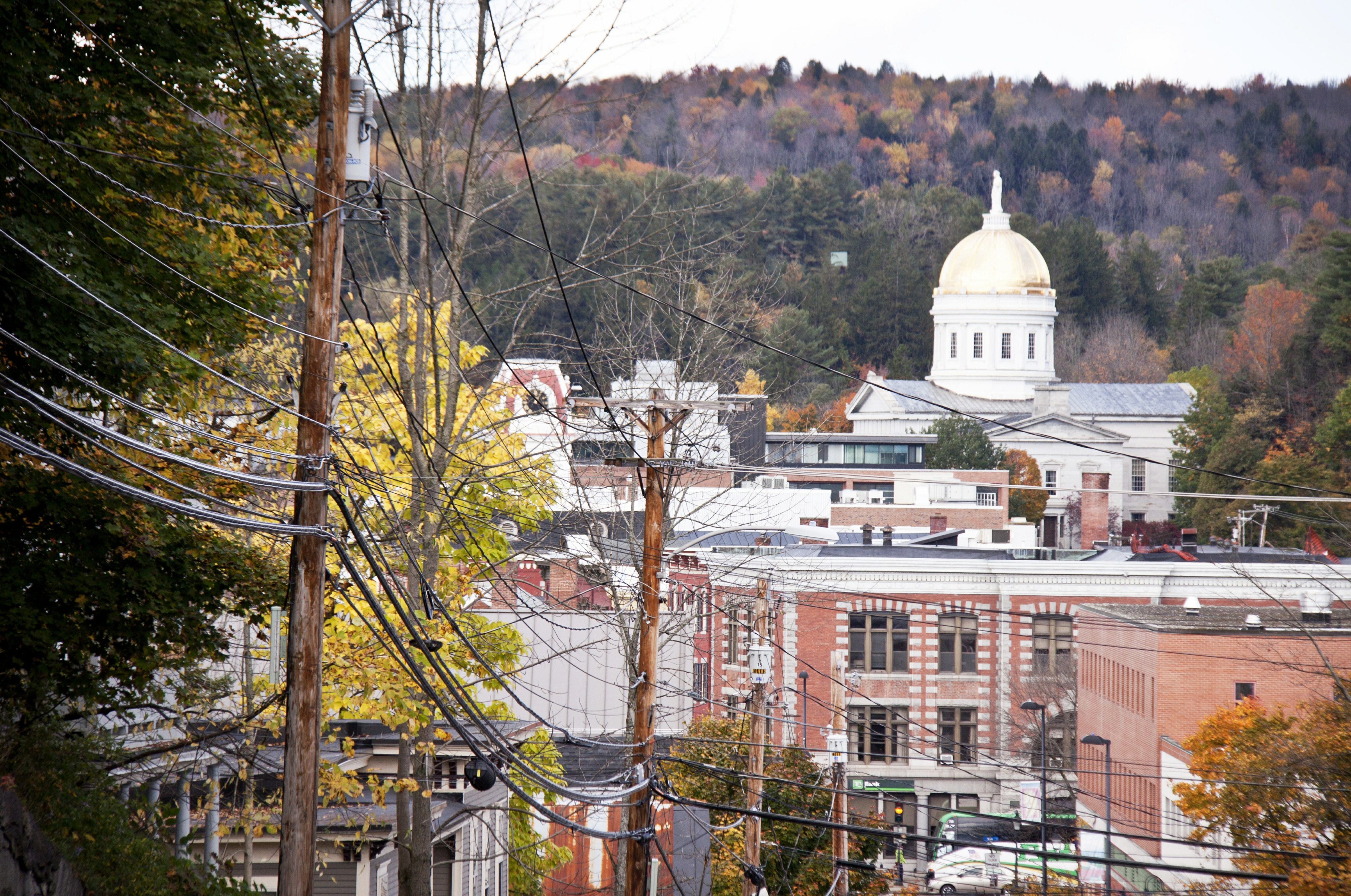
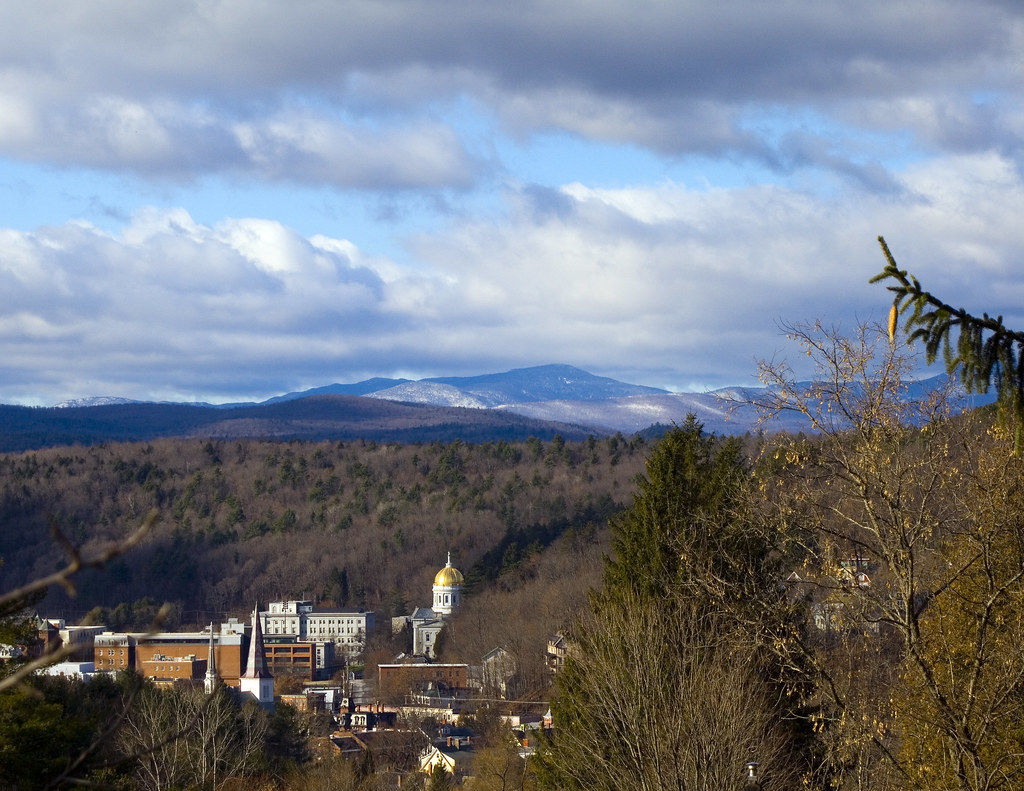
View on Montpelier
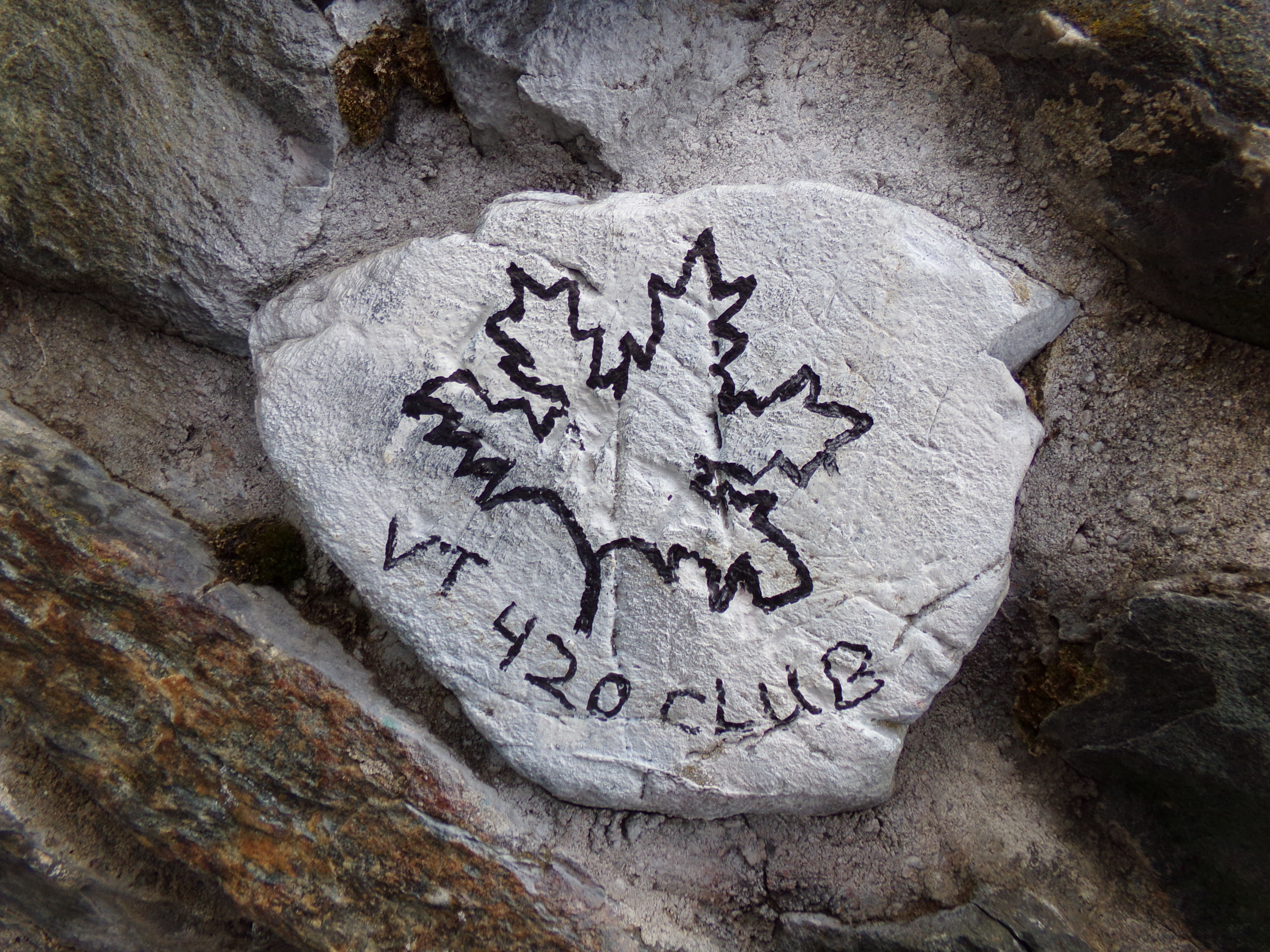
VT 420 Club Rock

Socialist Labor Party Hall (1900) – southwest view

Old Barre Vermont Mural
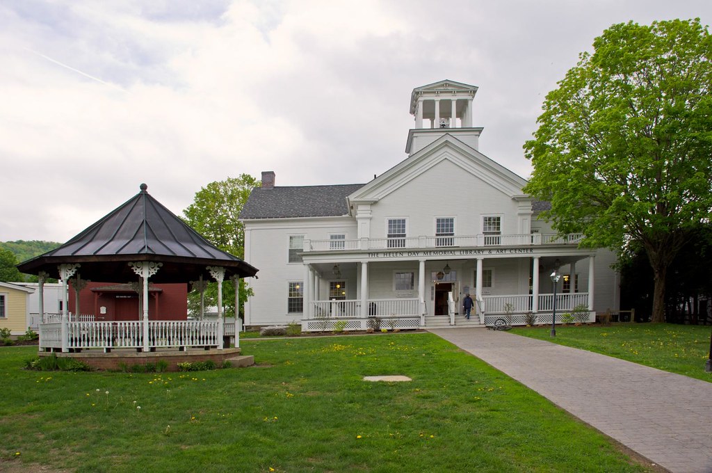
Stowe Free Library
onion-river-montpelier-sm
Montpelier Sunset
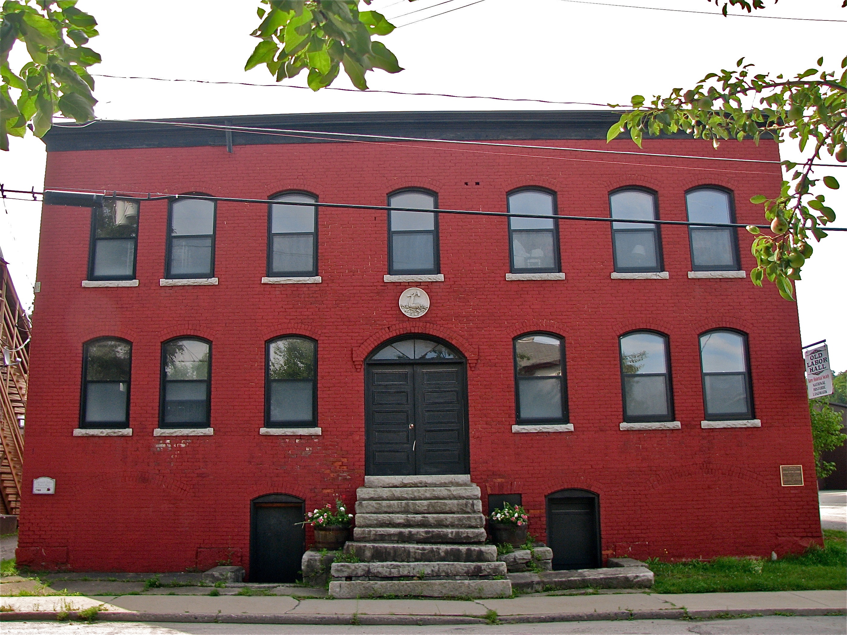
Socialist Labor Party Hall (1900) – front view
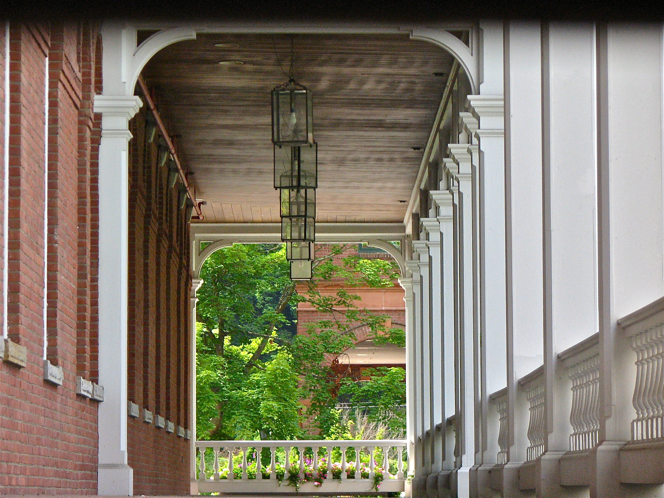
columned • view
Hubbard Tower
Montpelier from Kinstead Corner
View from Comstock B&B
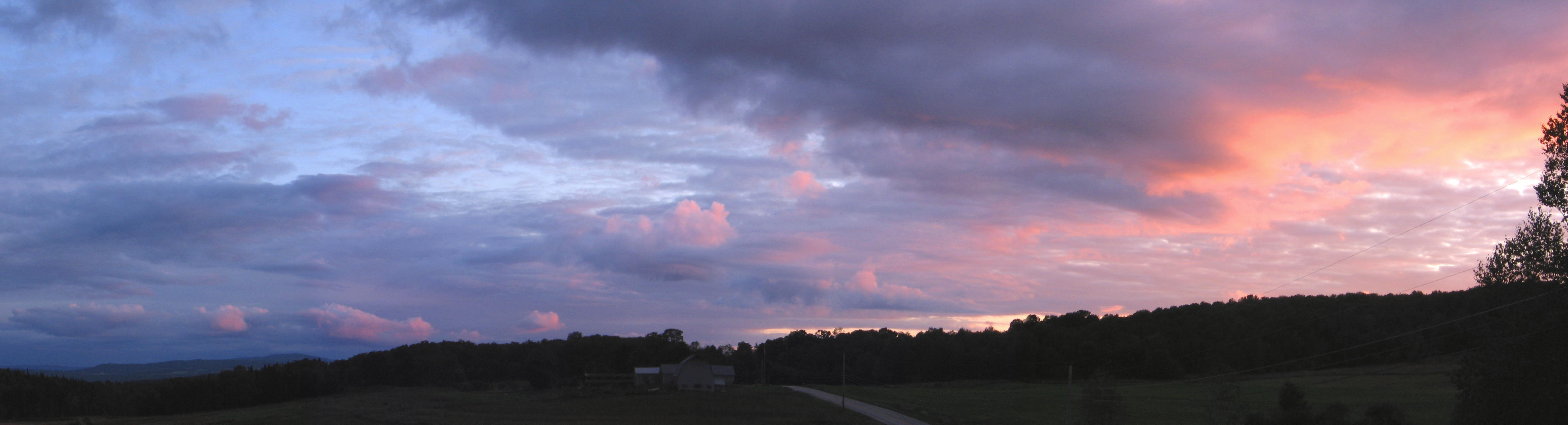
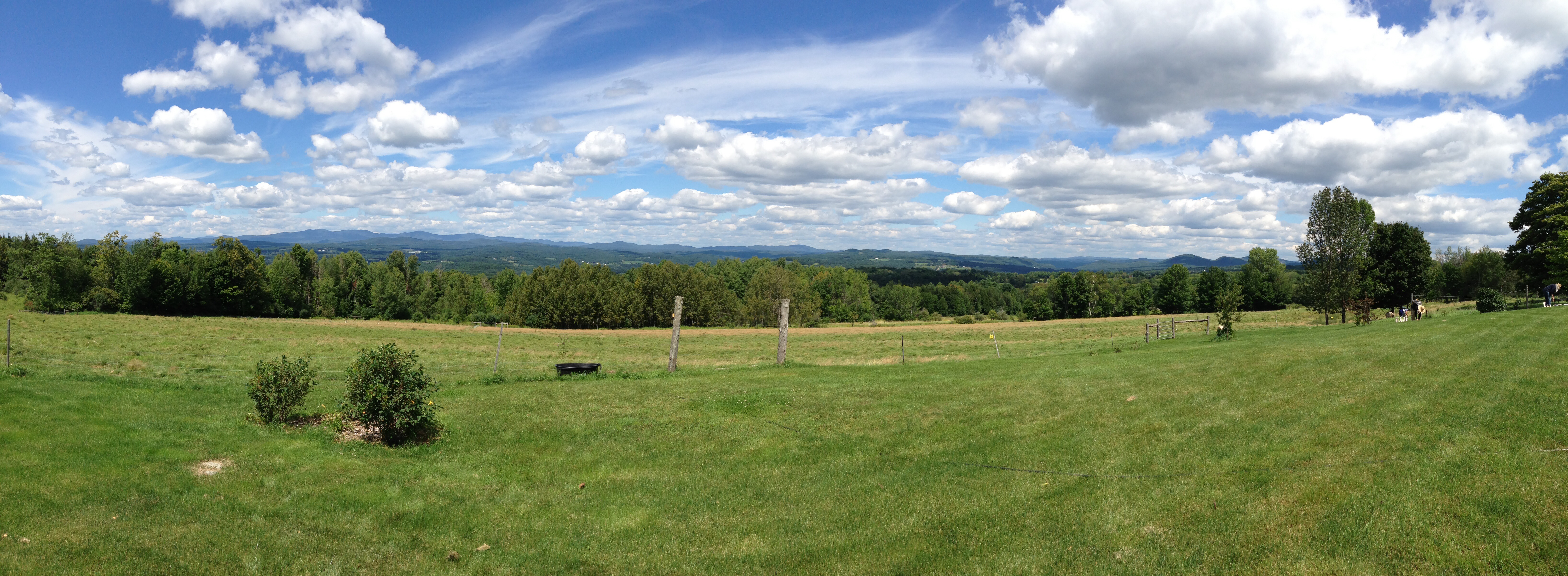
Eastern Panorama

sun rise
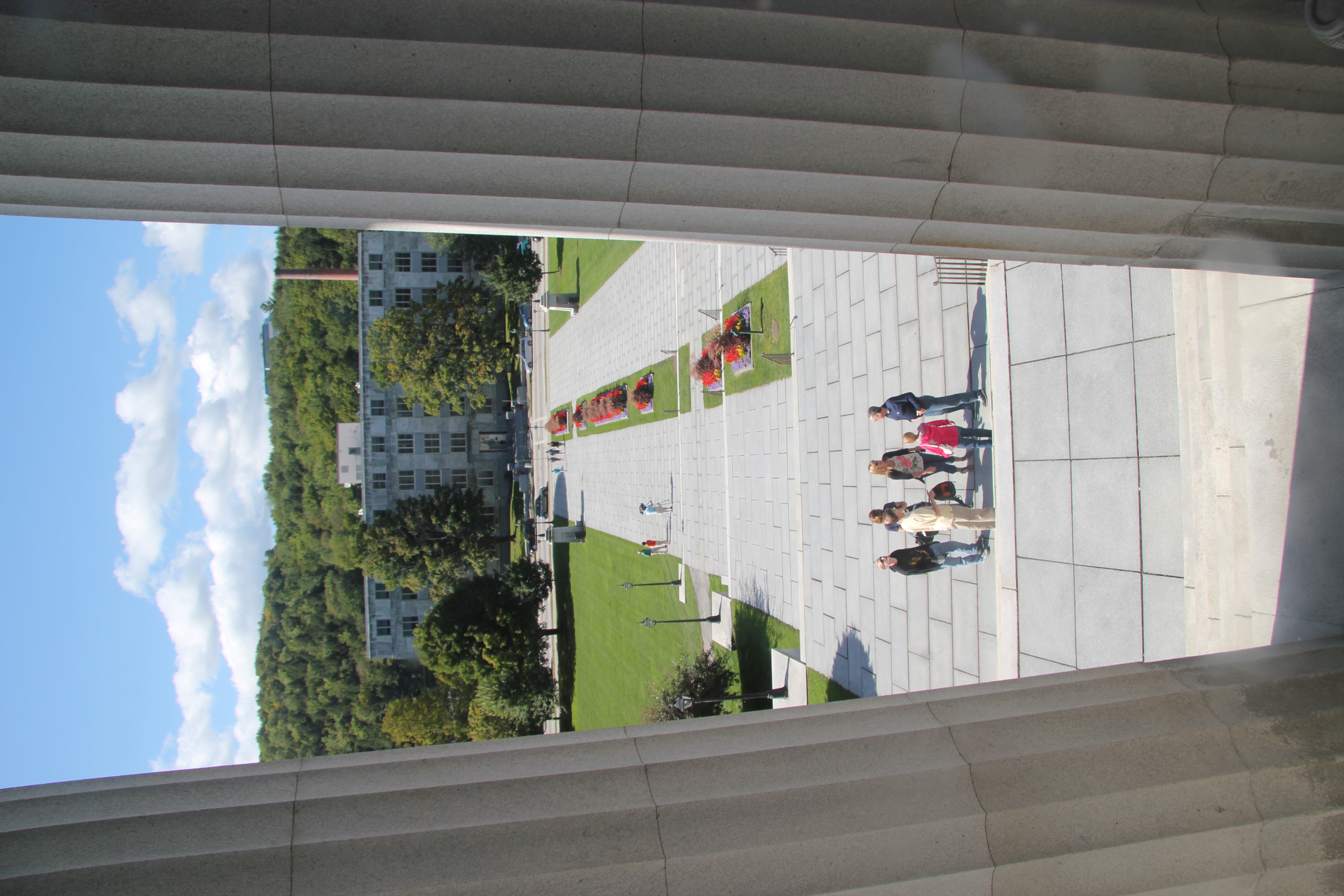
View from the State Capitol
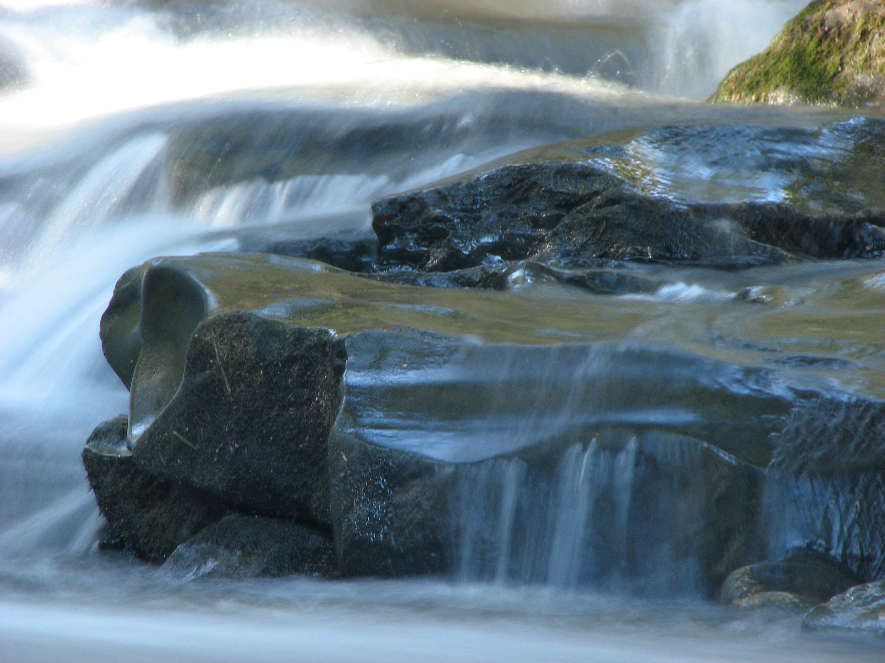
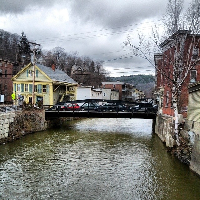
Falls Bridge 3

Fritillary Butterfly on Joe Pye Weed

The clouds lift, finally
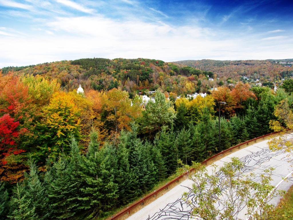
Fall colors

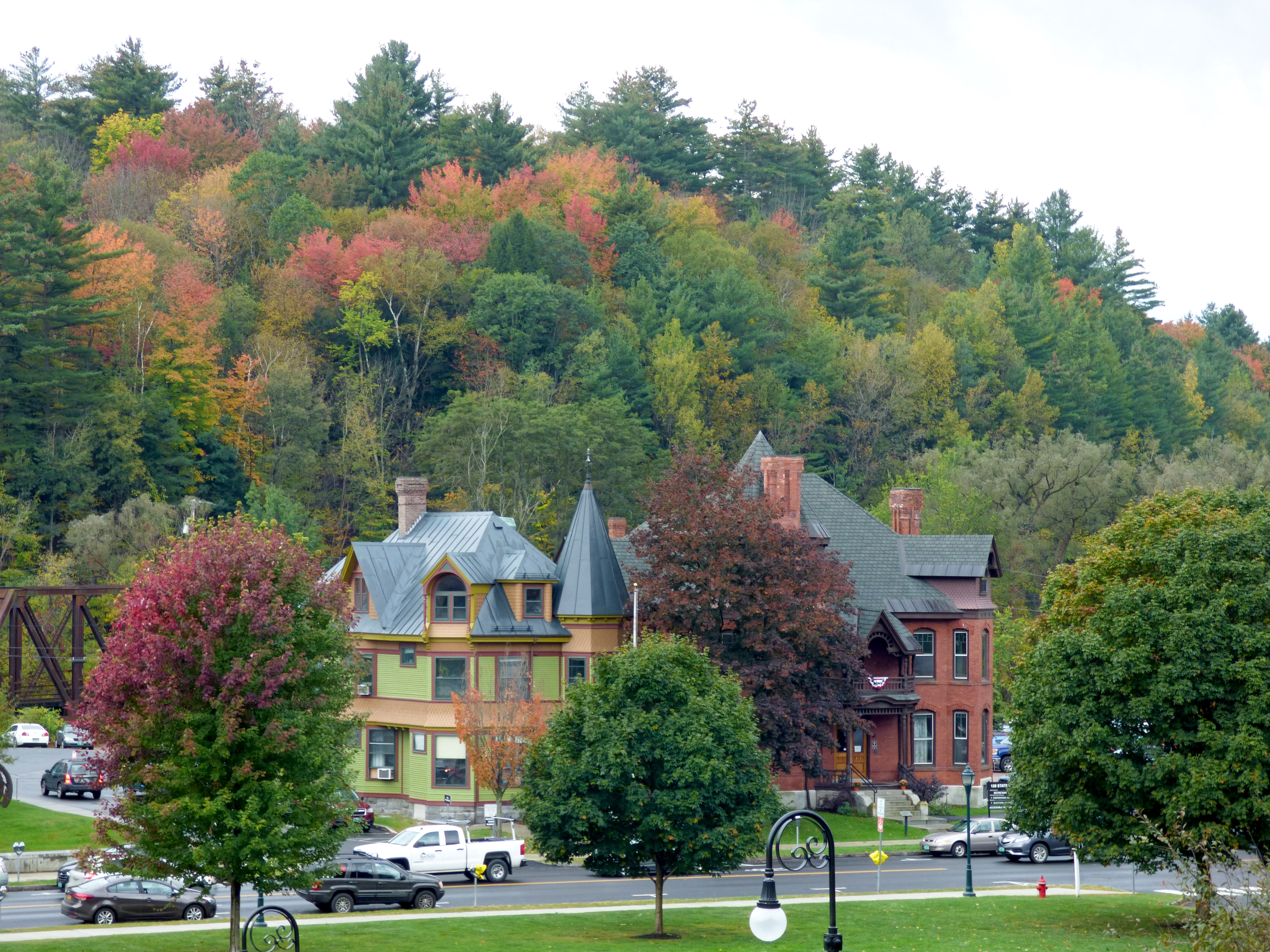
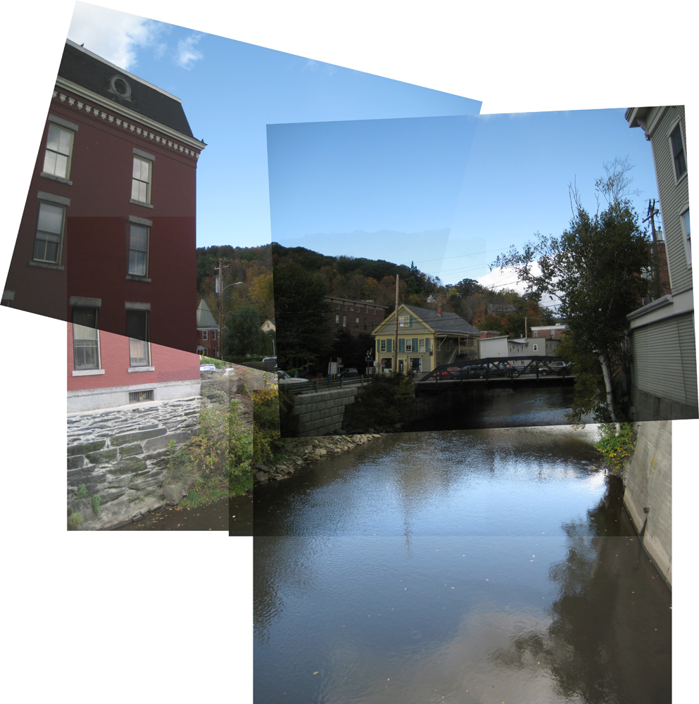
Montpelier Junction, Vermont

Vermont State Capitol Building

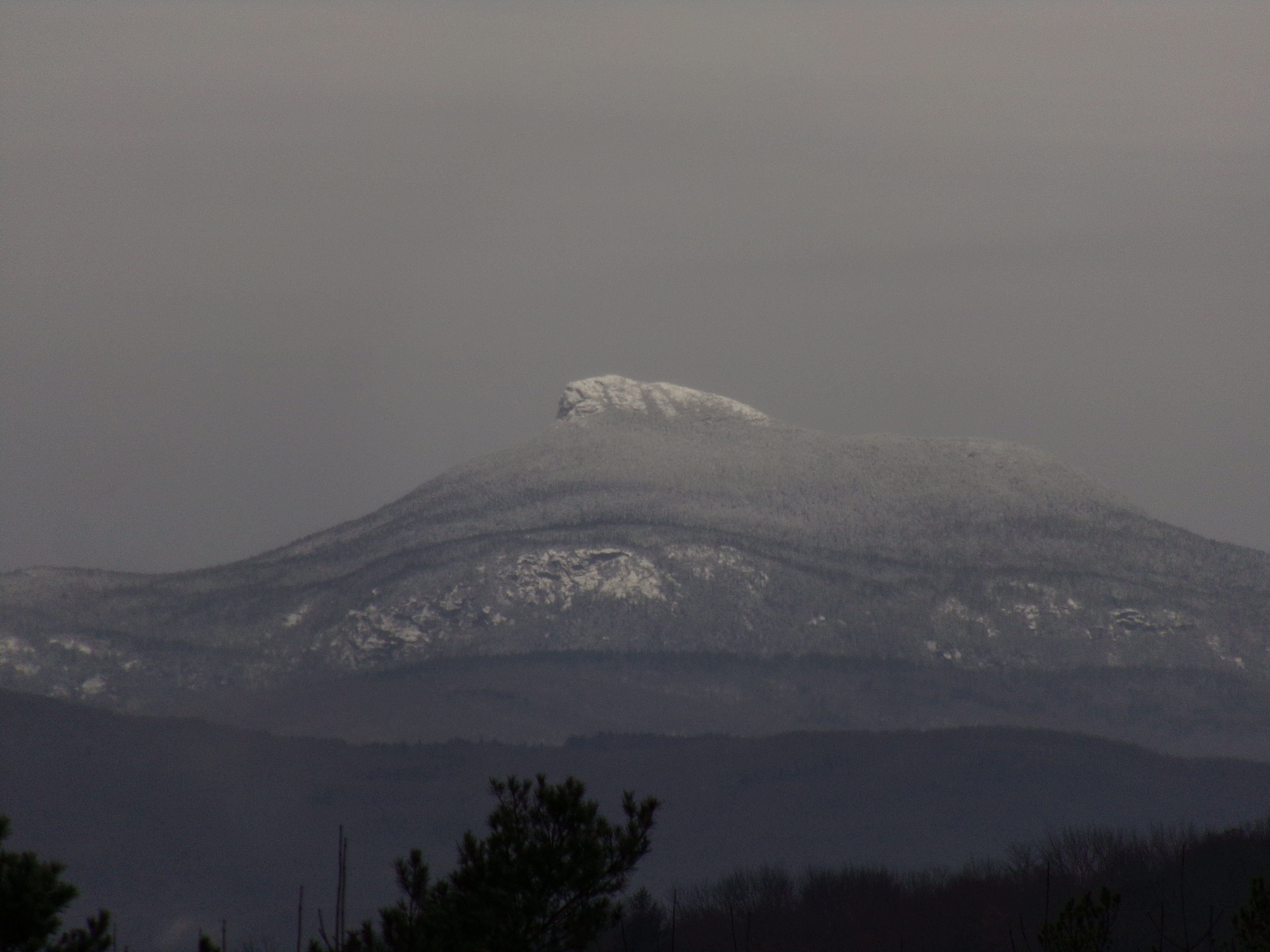
Camels Hump Sunset

Vermont State Capital
Falls Bridge 1
t42_915920151012_DSC5774.jpg

Cox Brook - Northfield Falls, Vermont
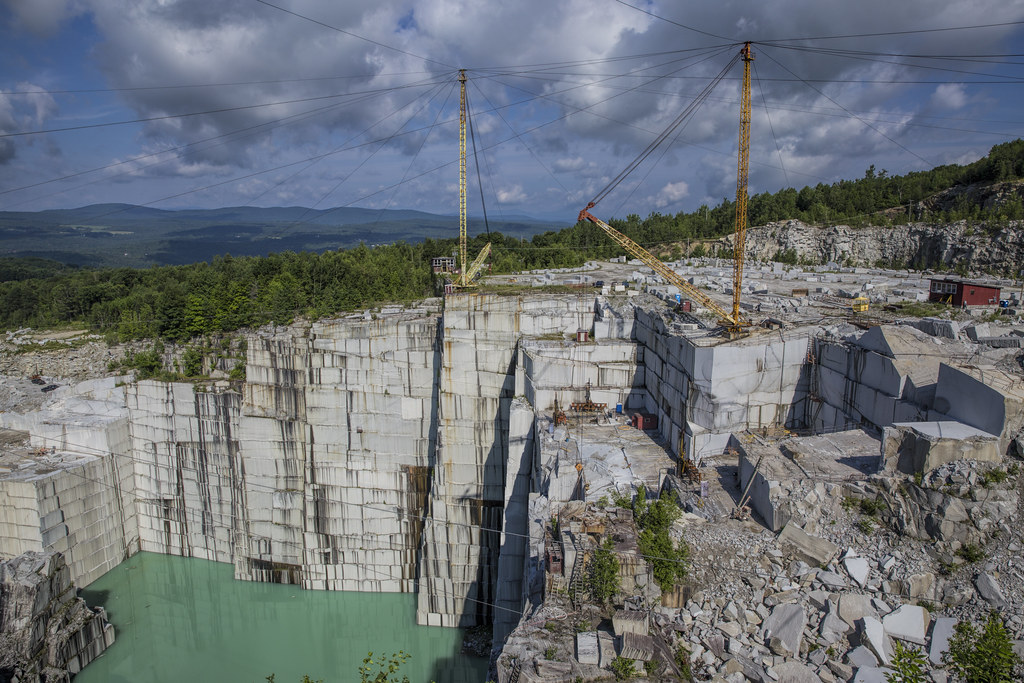
E.L. Smith Quarry - Barre, Vermont
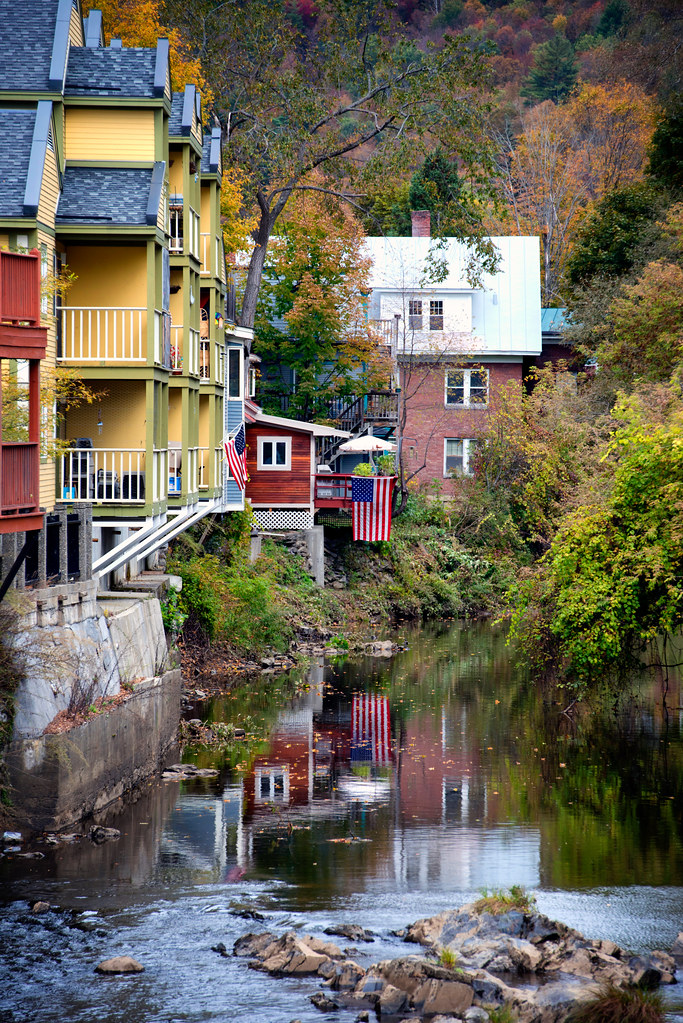
Muddy Onion
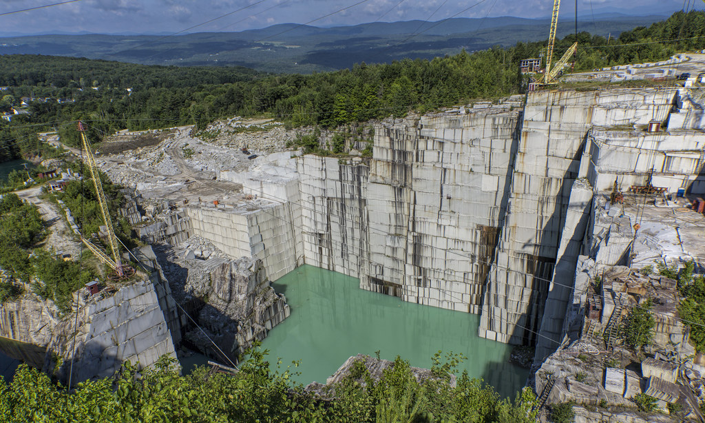
E.L. Smith Quarry - Barre, Vermont

ceres • goddess.of.agriculture

red barn from the floating bridge

Northfield Falls Covered Bridge

Its a double rainbow all the way across the sky! Also... Holy fuck. Downpours.
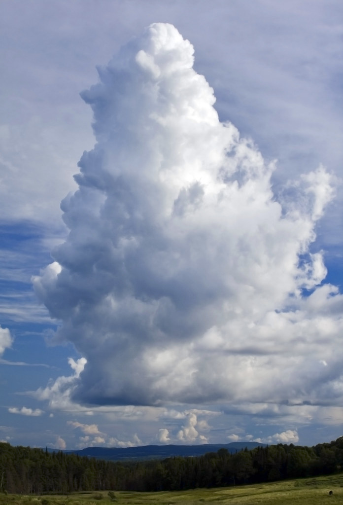
Ice Cream Cloud
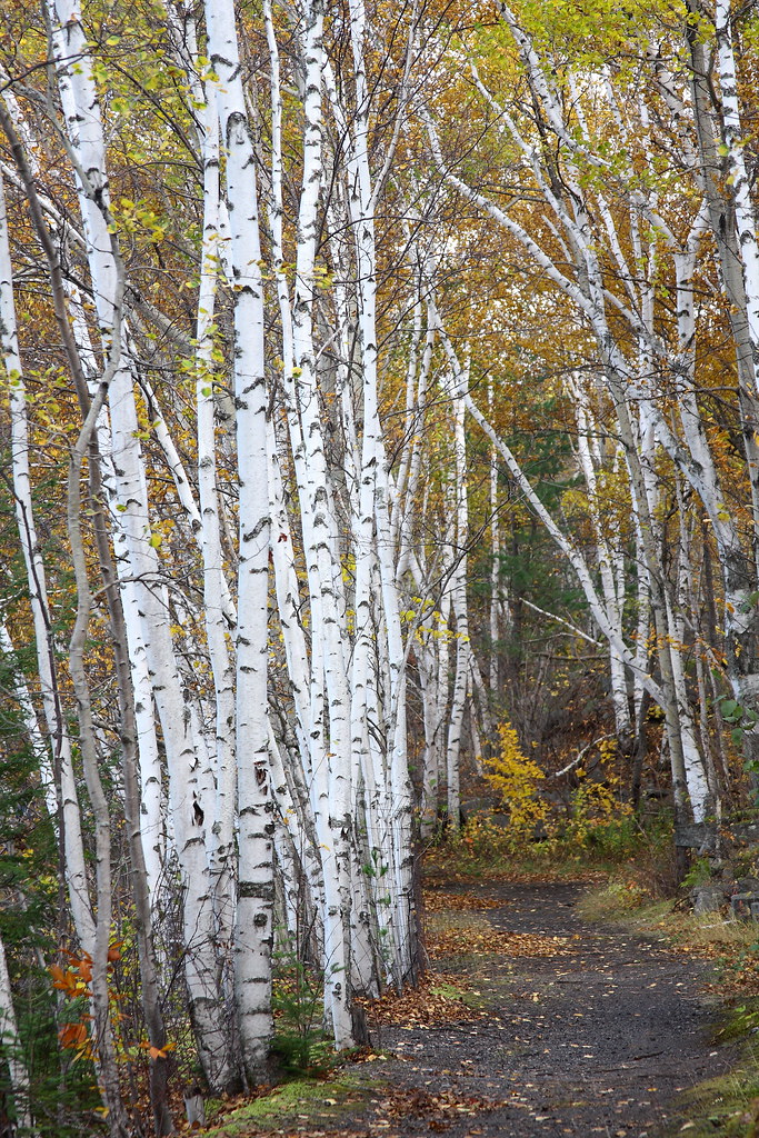
Birch Path
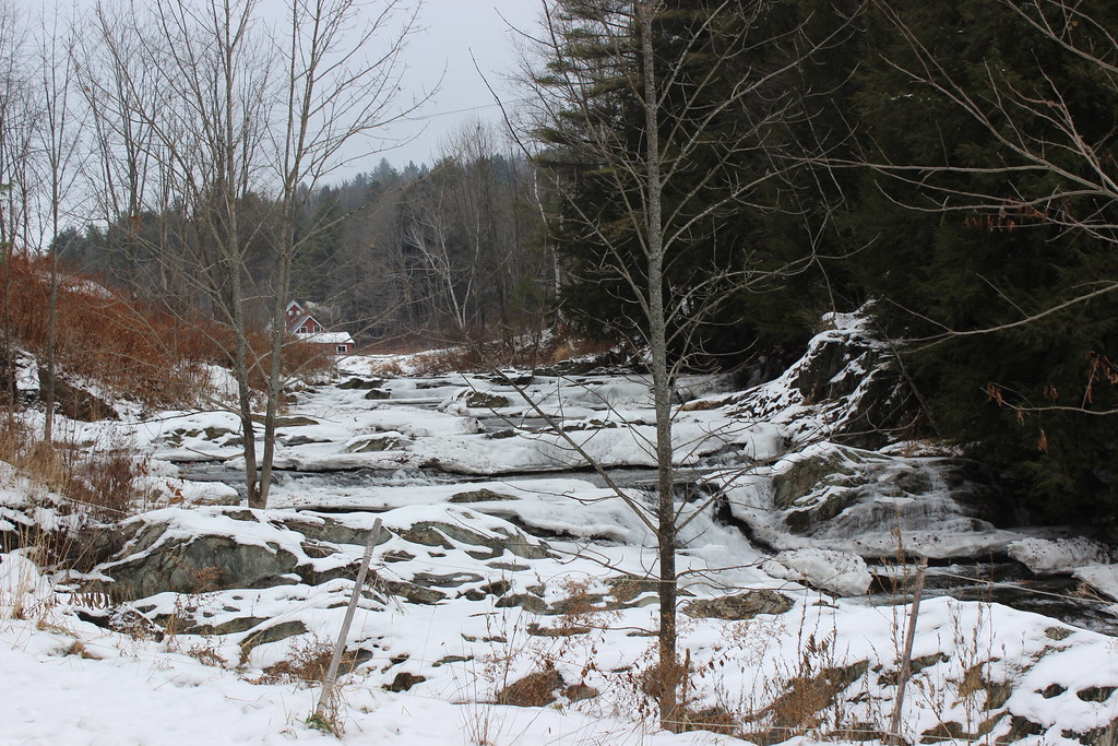
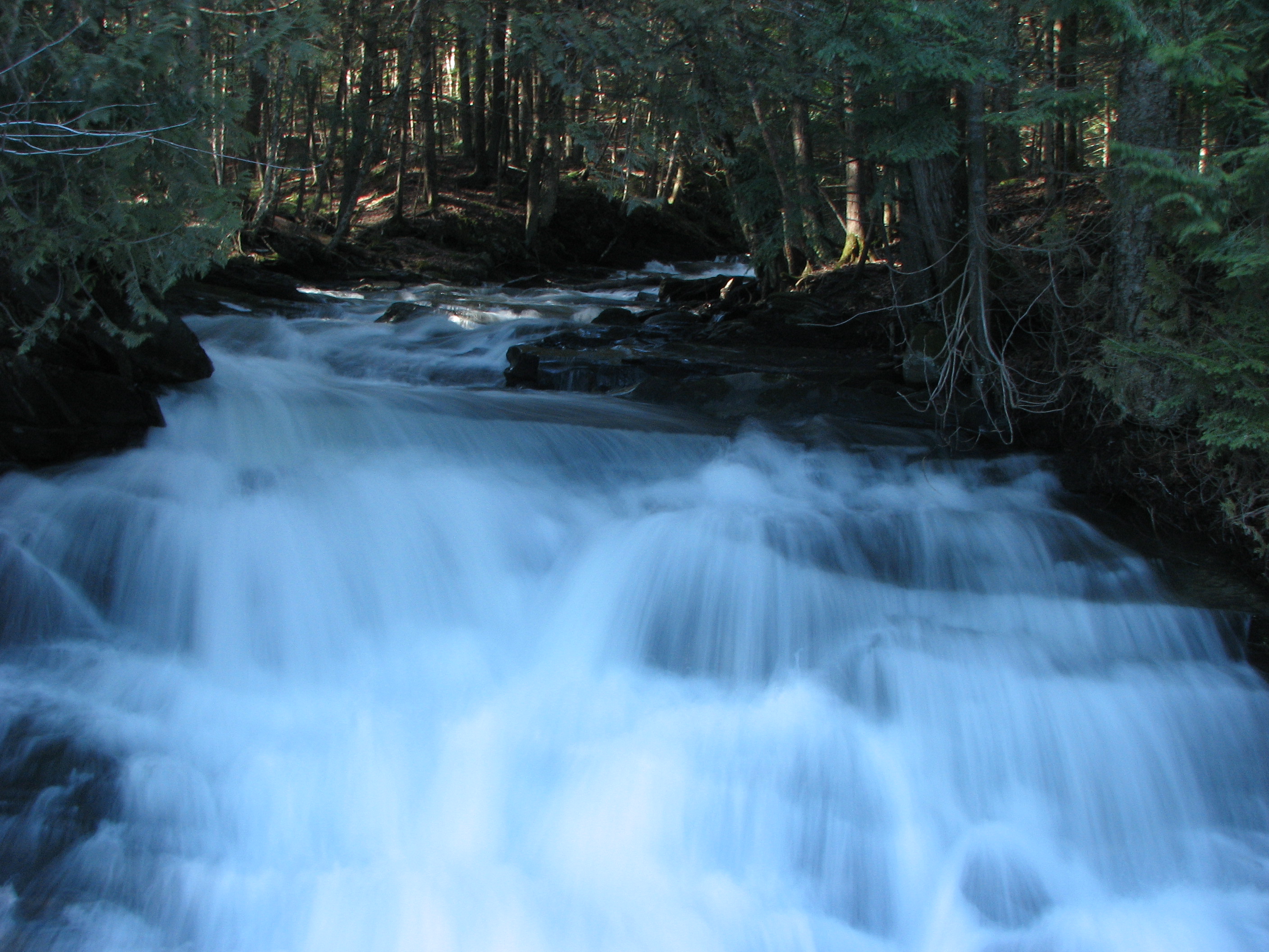
Frozen Cox Brook
Topographic Map of Hebert Rd, Williamstown, VT, USA
Find elevation by address:

Places near Hebert Rd, Williamstown, VT, USA:
Hebert Road
120 Old Town Rd
111 Brush Hill Rd
20 Methodist Ln
Williamstown
32 Breer Rd
Bolster Reservoir
919 S Barre Rd
236 E Rd
Interstate 89
Interstate 89
Interstate 89
Interstate 89
Martin Road
9 Highland Crofts
24 Middle Rd
2676 Berlin Pond Rd
60 Silver Cir
50 Cherrywood Dr
49 Country Way
Recent Searches:
- Elevation of Corso Fratelli Cairoli, 35, Macerata MC, Italy
- Elevation of Tallevast Rd, Sarasota, FL, USA
- Elevation of 4th St E, Sonoma, CA, USA
- Elevation of Black Hollow Rd, Pennsdale, PA, USA
- Elevation of Oakland Ave, Williamsport, PA, USA
- Elevation of Pedrógão Grande, Portugal
- Elevation of Klee Dr, Martinsburg, WV, USA
- Elevation of Via Roma, Pieranica CR, Italy
- Elevation of Tavkvetili Mountain, Georgia
- Elevation of Hartfords Bluff Cir, Mt Pleasant, SC, USA