Elevation of 24 Middle Rd, Barre, VT, USA
Location: United States > Vermont > Washington County > Barre >
Longitude: -72.506447
Latitude: 44.171734
Elevation: 239m / 784feet
Barometric Pressure: 98KPa
Elevation Map:
Satellite Map:
Related Photos:
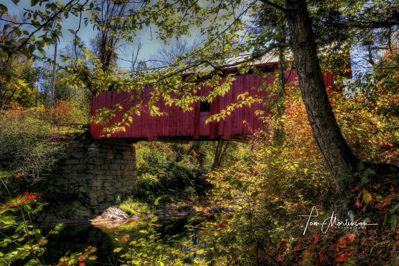
Slaughter House Covered Bridge

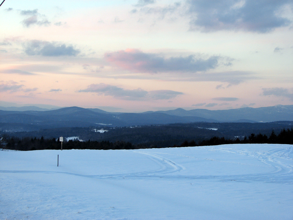
Morning sun rise view

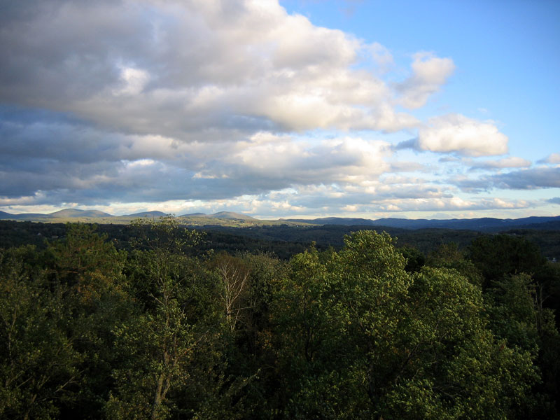
Monrning view with clouds
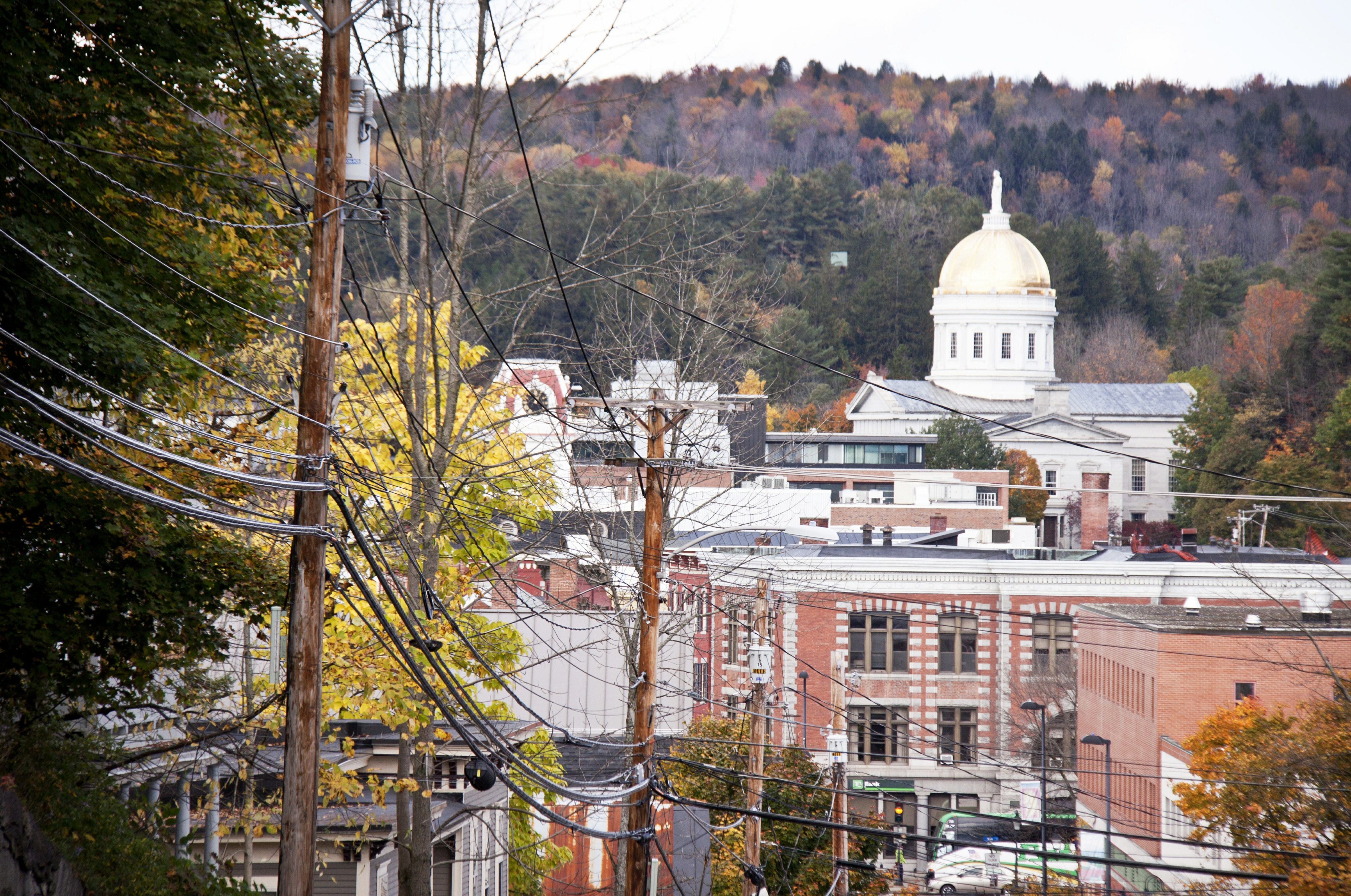
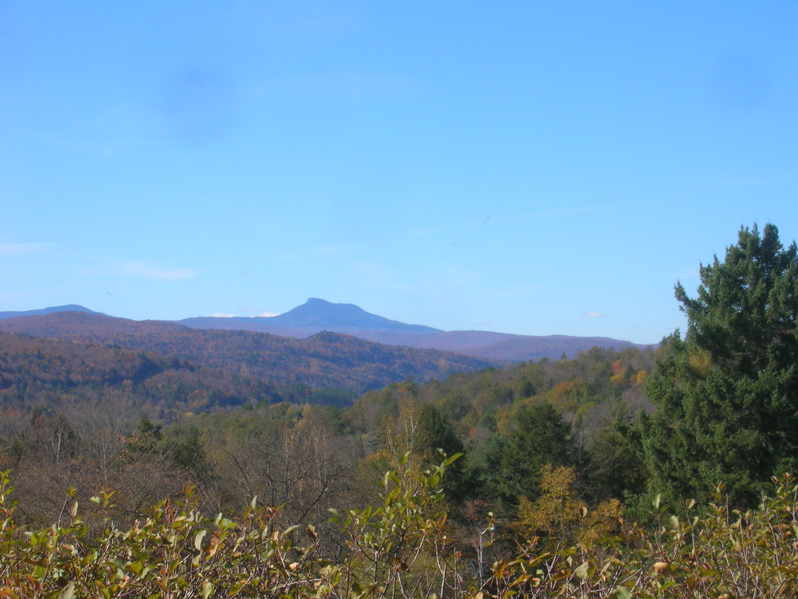
View on Montpelier
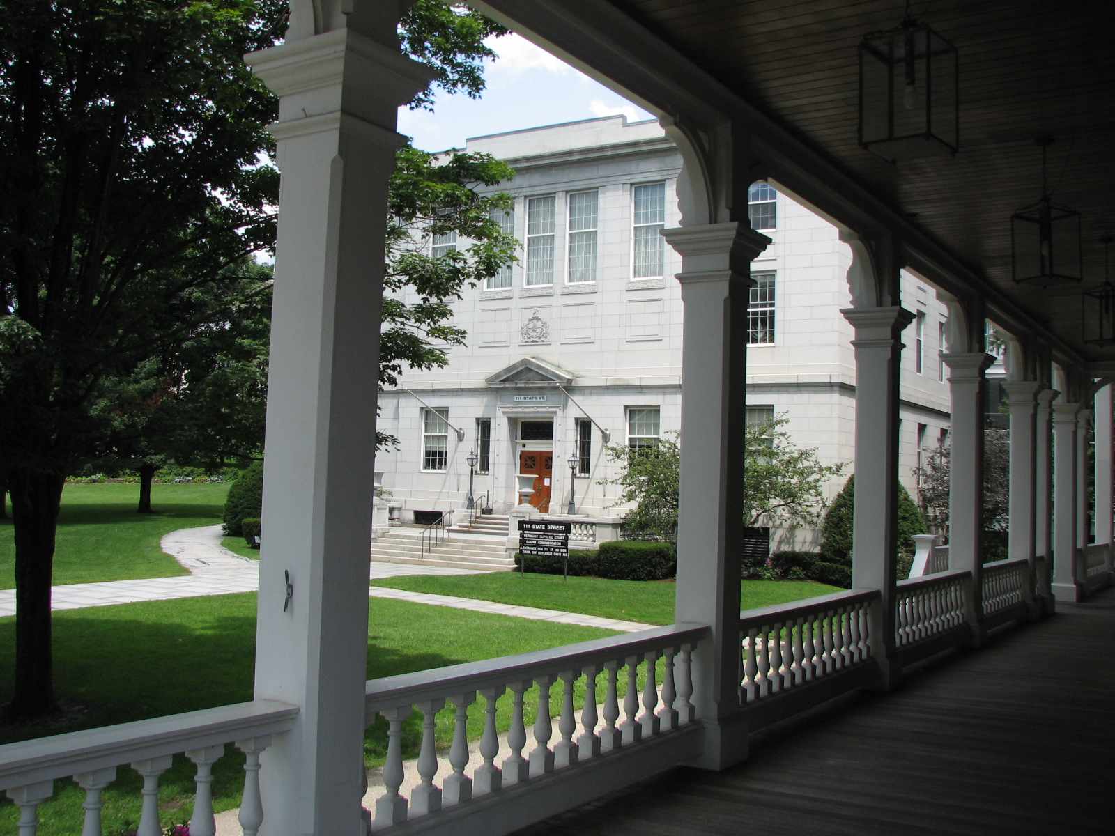
columned • view
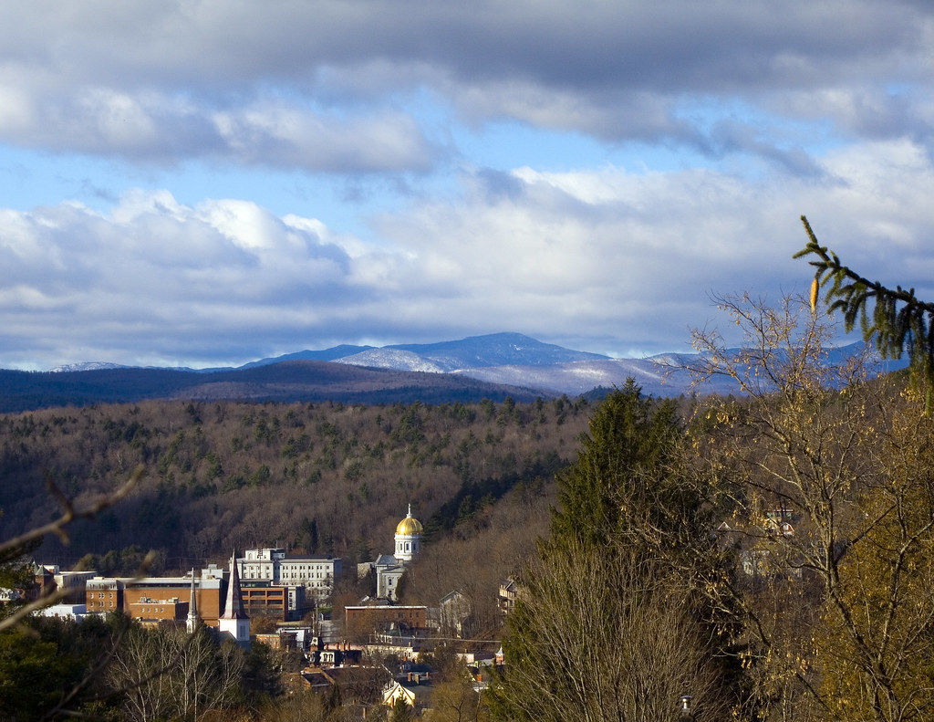
Montpelier from Kinstead Corner

Morning sun rise view
View from Comstock B&B
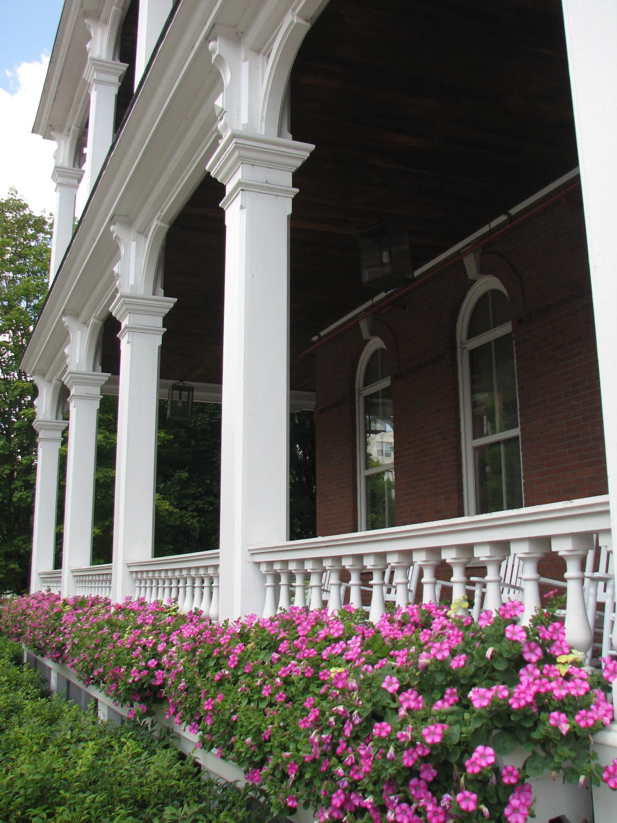
columns • flower.boxes
The view from the top of our road.

sun rise
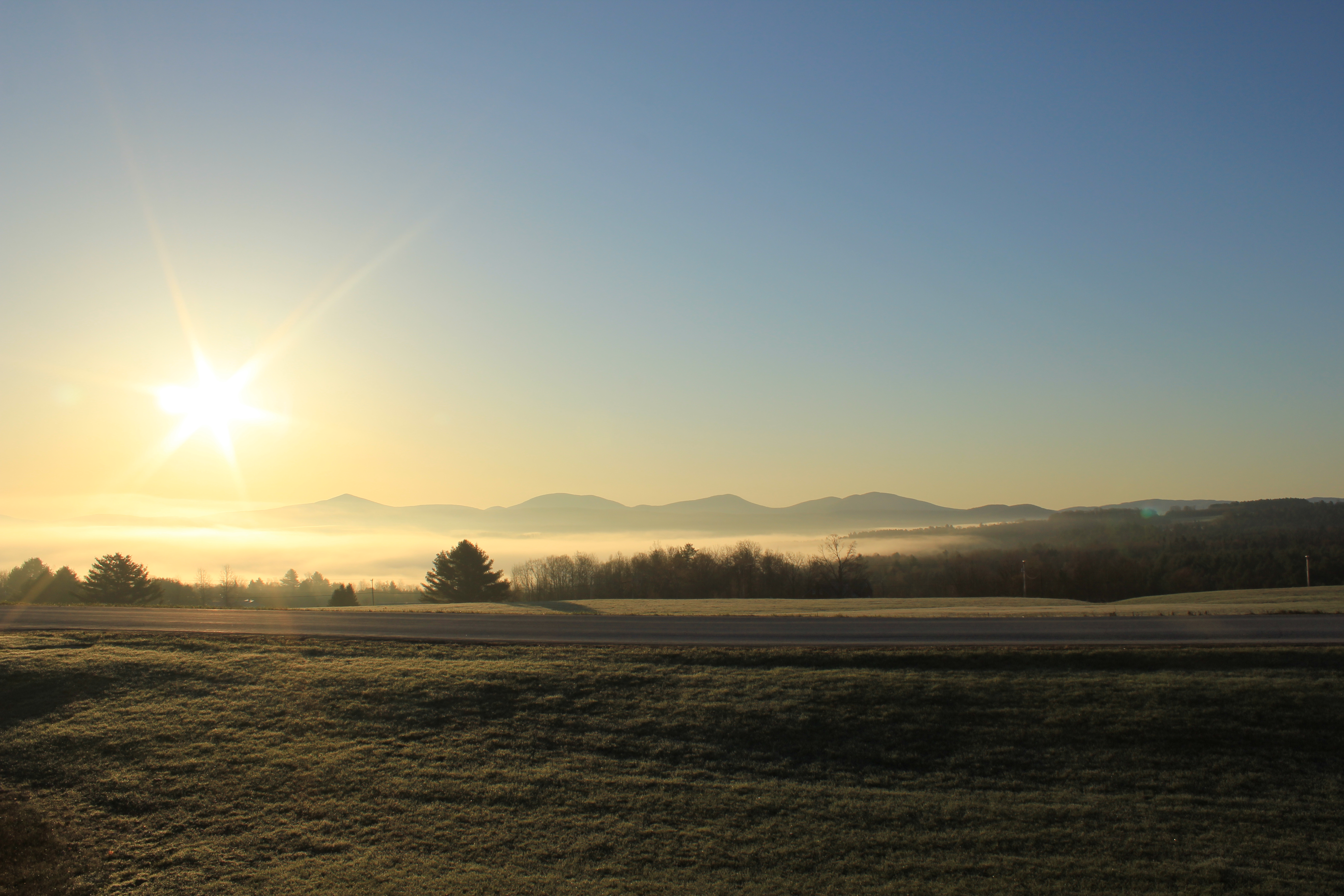
sun rise
Camel's Hump through a glass paine
Looking Southeast from Hubbard Tower
View from the train

Hubbard Park From Hubbard Street
new england trip133
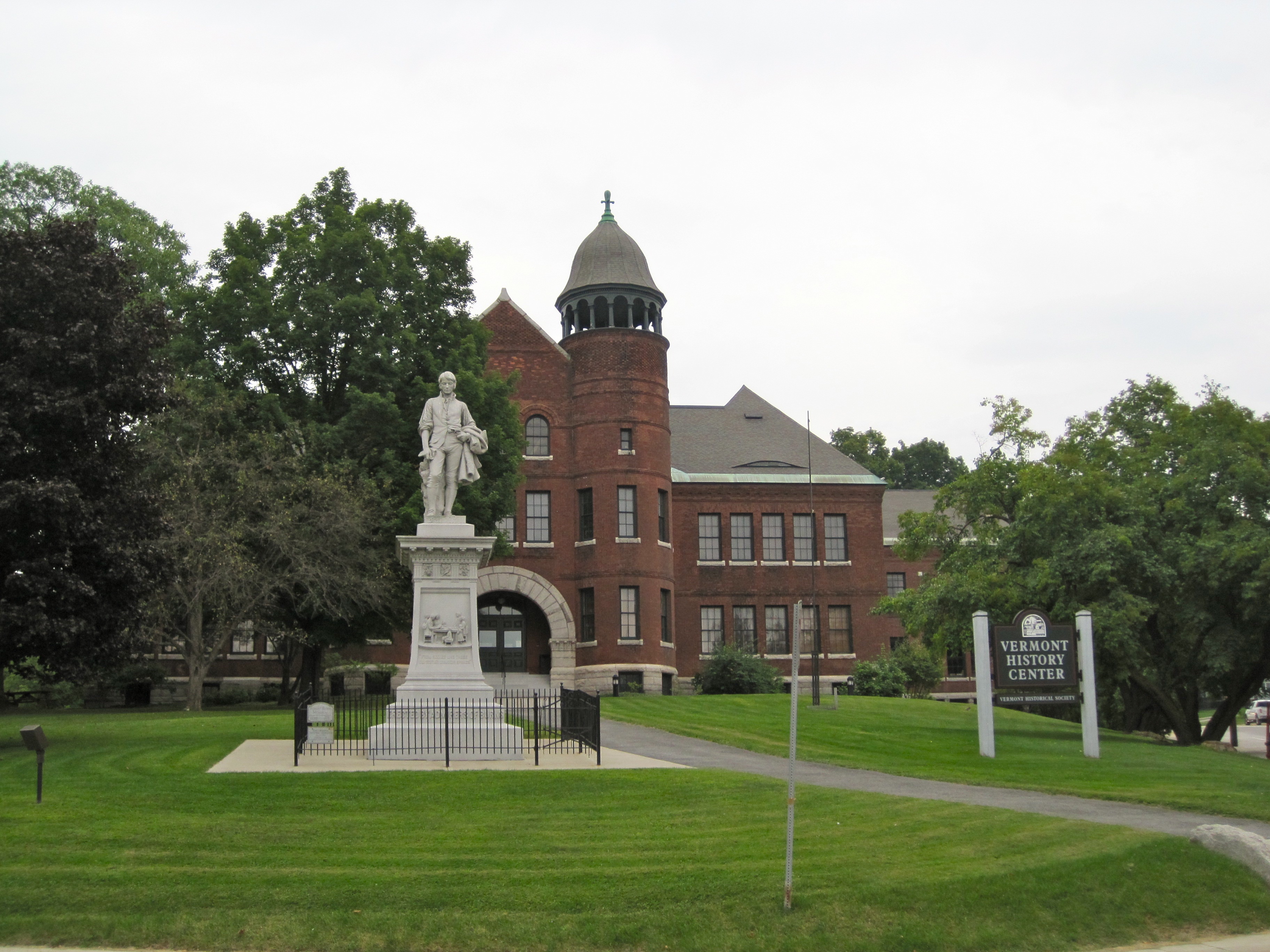
Vermont History Center
view from the dorm
Friday Drive Home
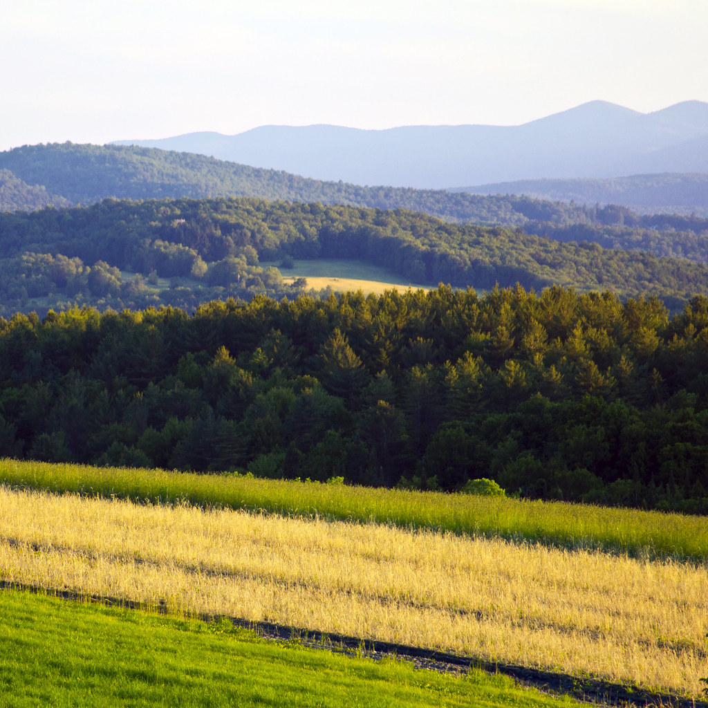
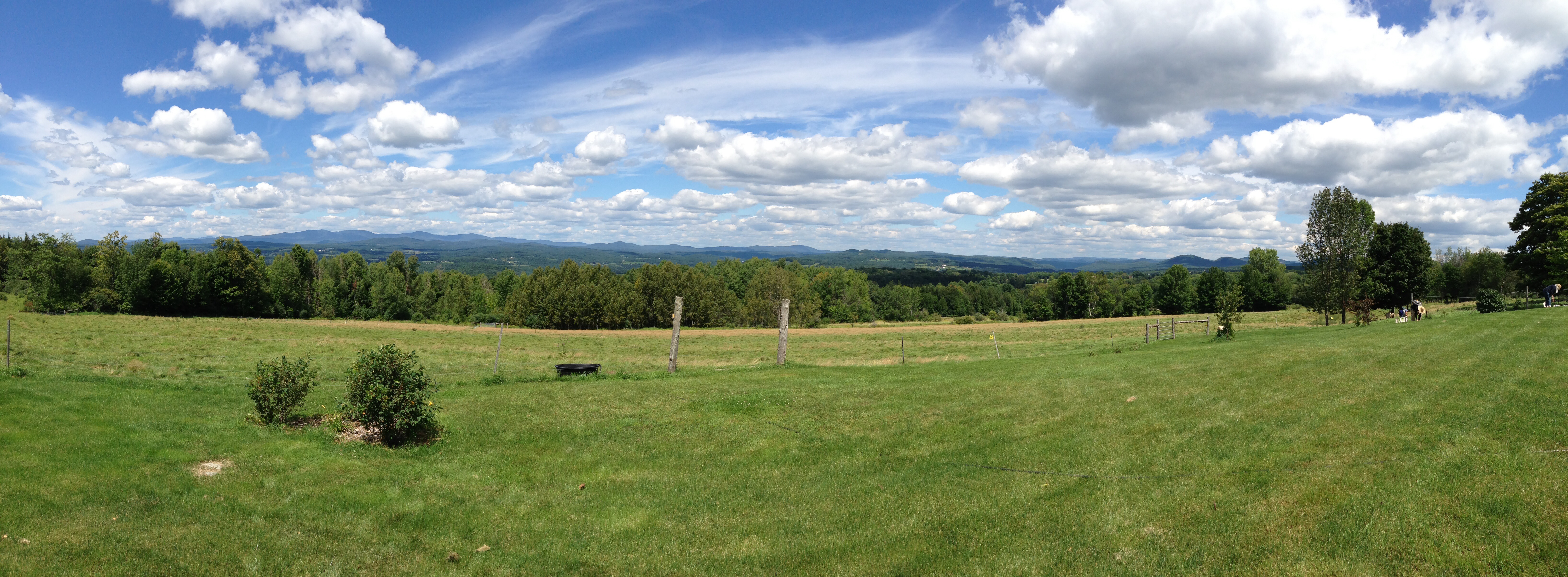
Vermont Vista
Falls Bridge 3
Fall colors in Vermont
Camels Hump in Springtime

Fritillary Butterfly on Joe Pye Weed
E.L. Smith Quarry - Barre, Vermont

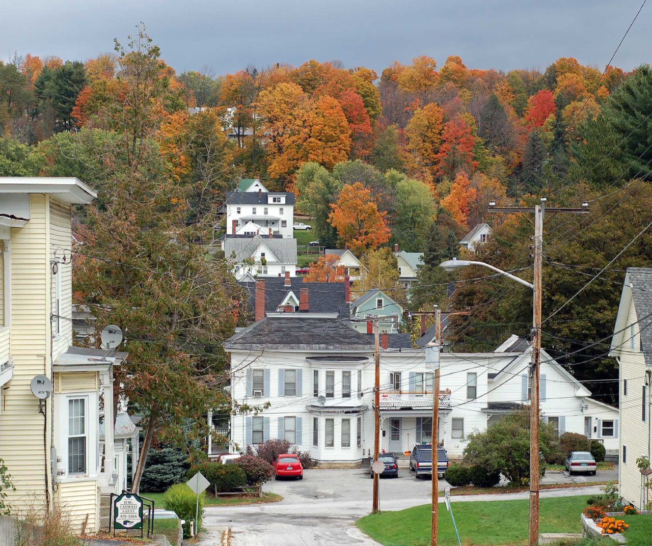
Autumn in Vermont

Camels Hump Sunset

Vermont State Capital
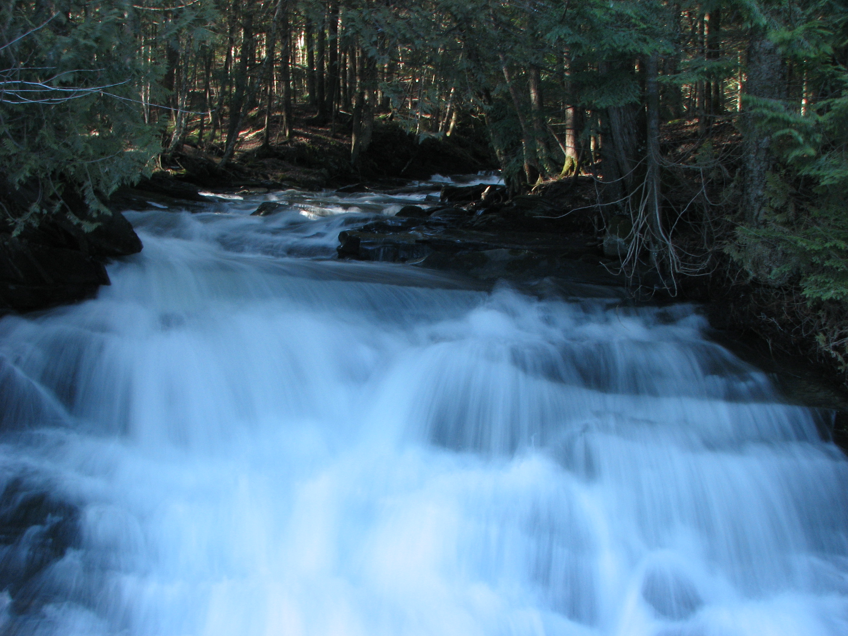
Falls Bridge 1
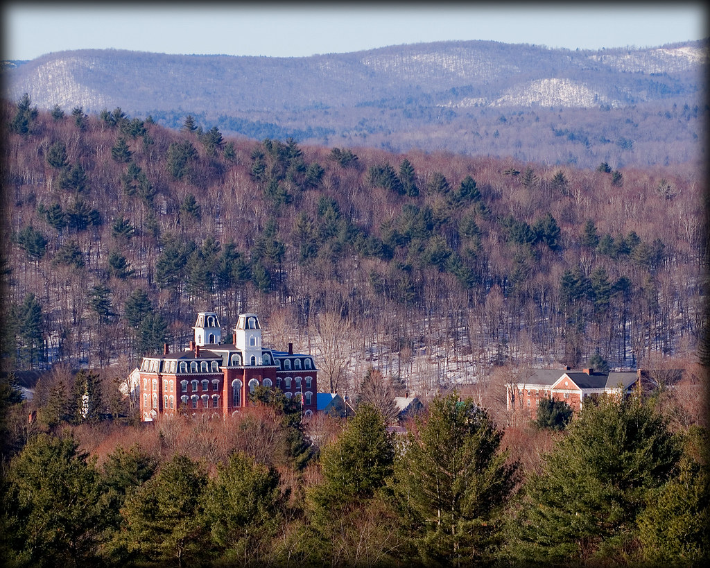
Vermont College
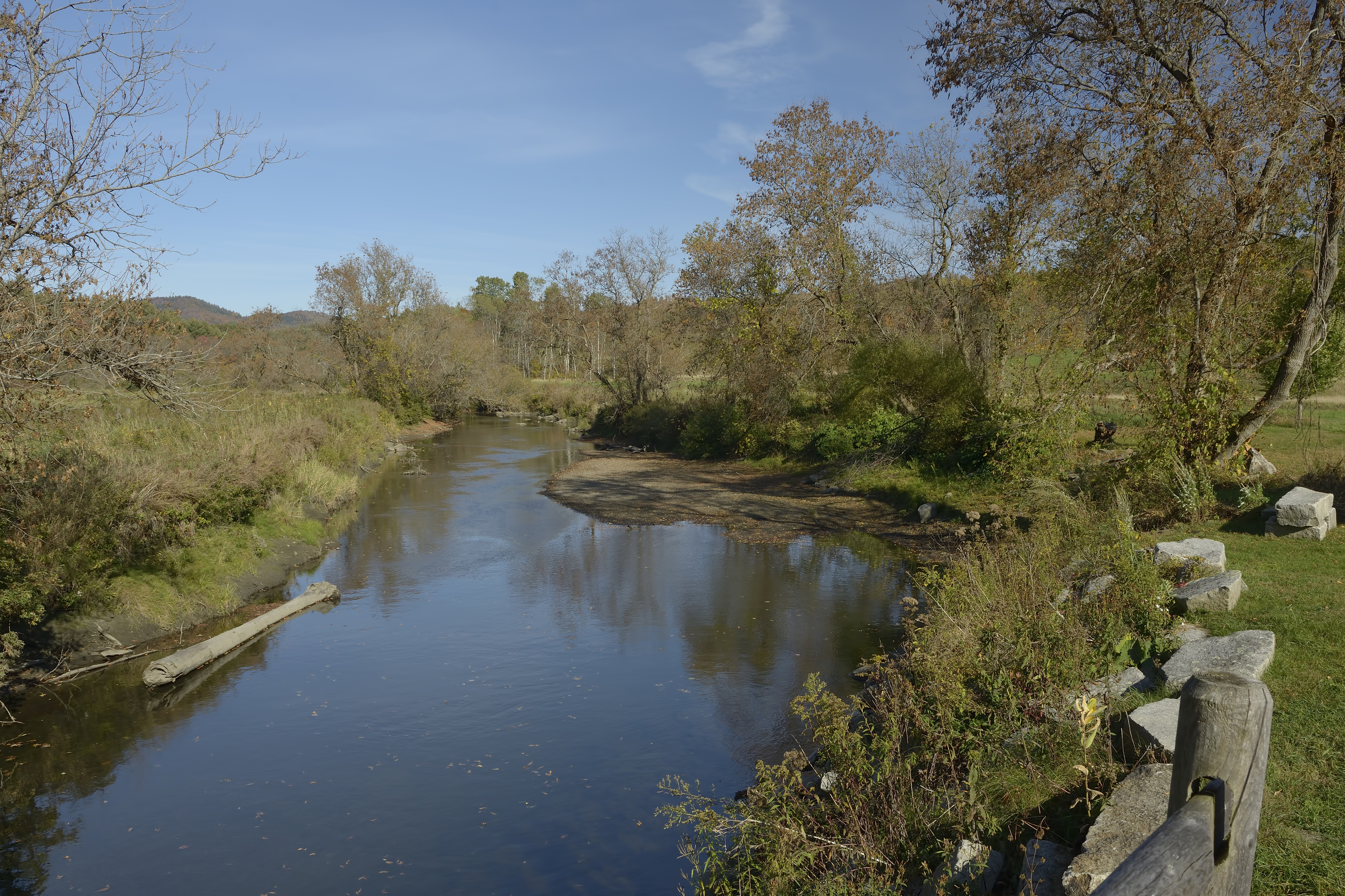
Winooski River Marshfield Vermont

Cox Brook - Northfield Falls, Vermont
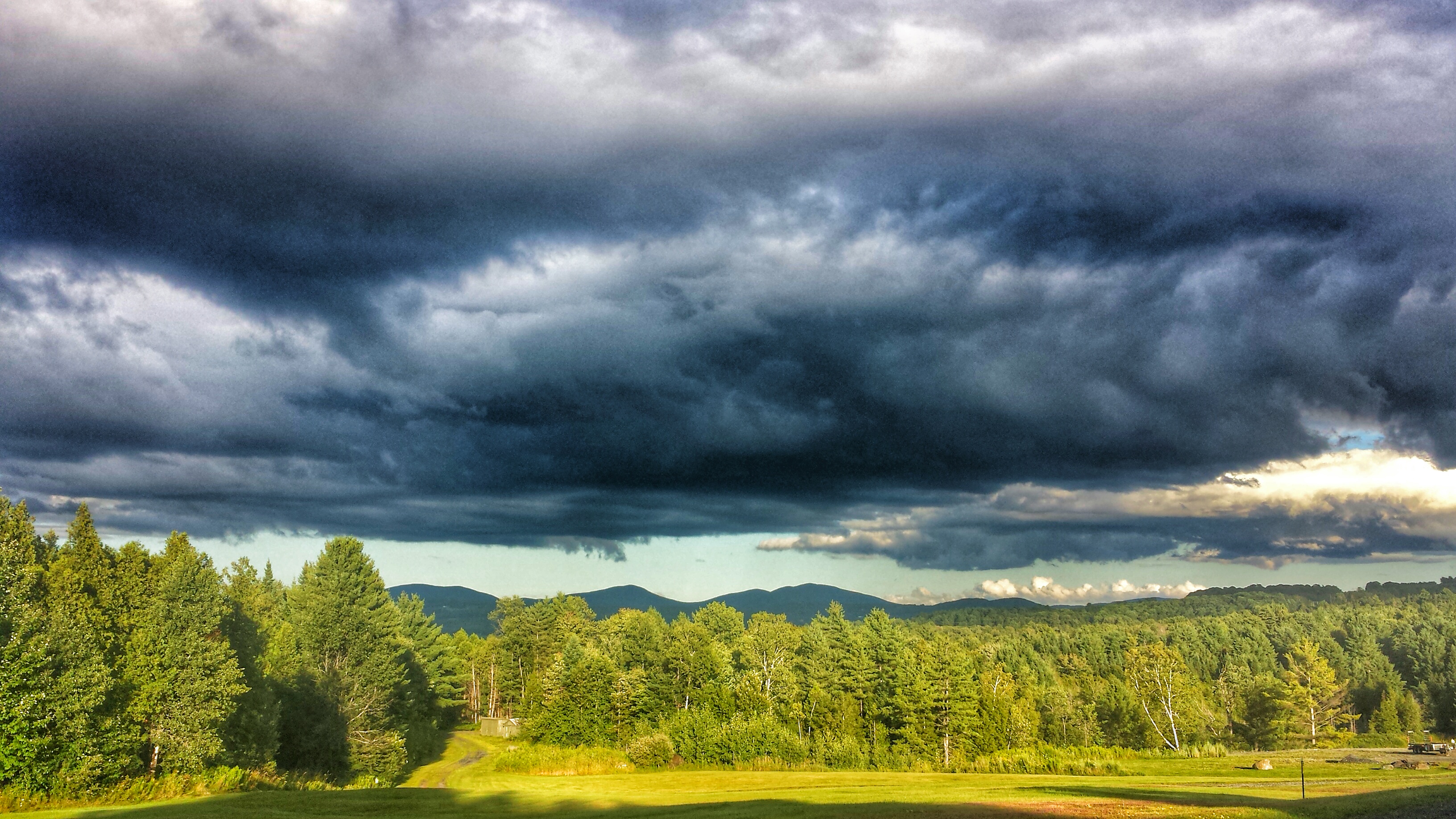
Cloud drama
1872 Cox Brook Covered Bridge

t42_915820151012_DSC5772.jpg

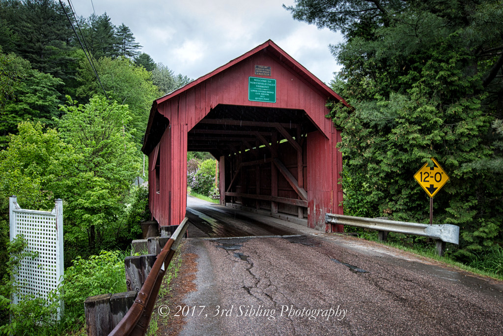
Northfield Falls Covered Bridge
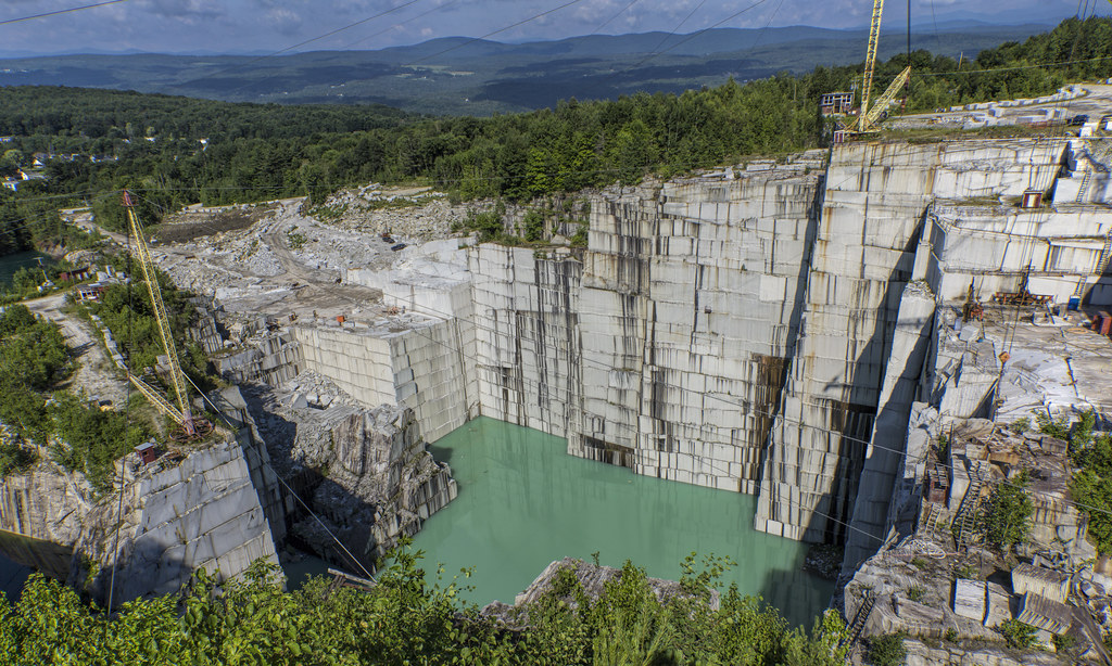
E.L. Smith Quarry - Barre, Vermont
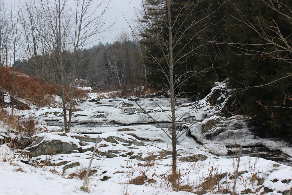
Frozen Cox Brook
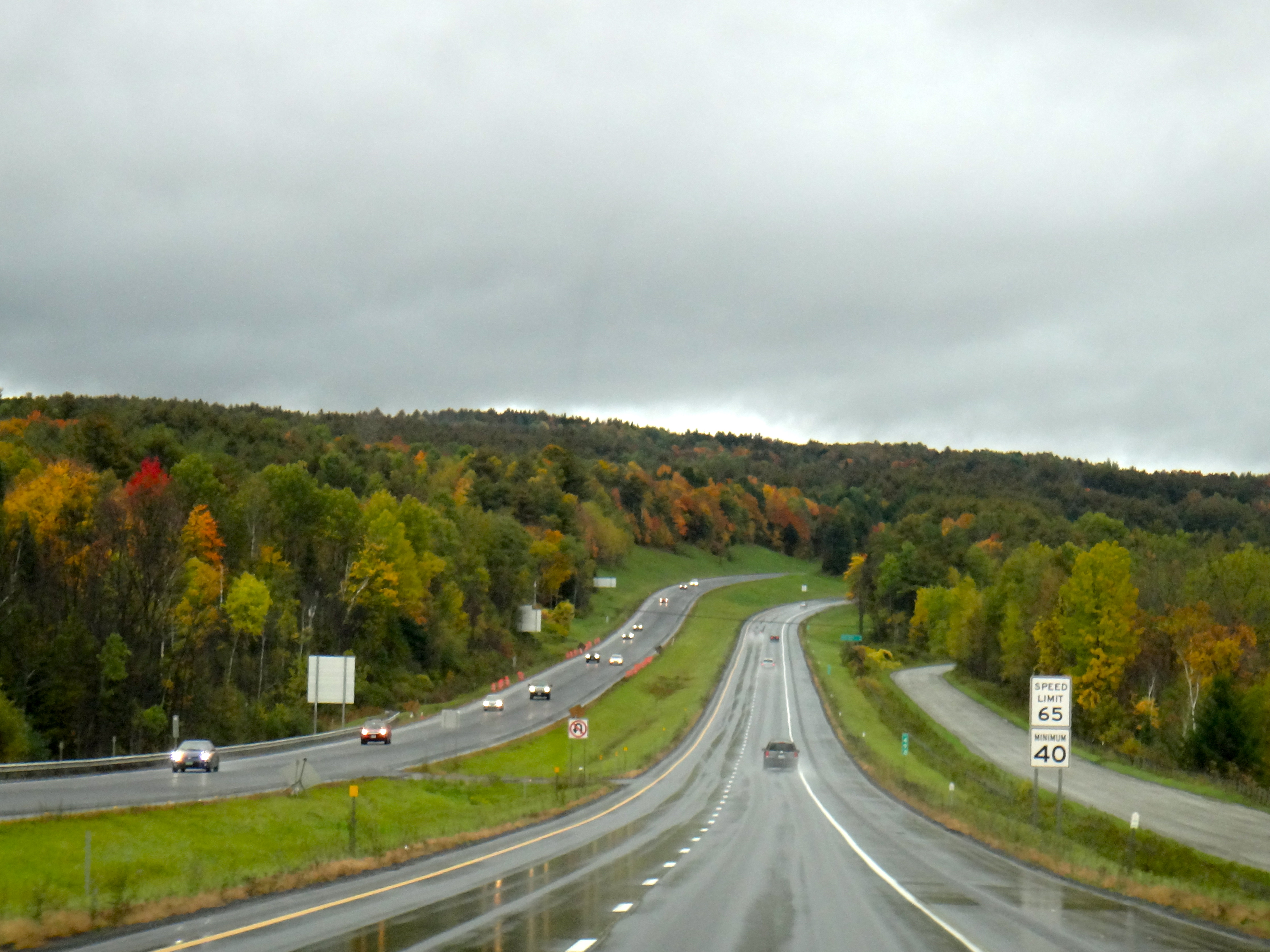
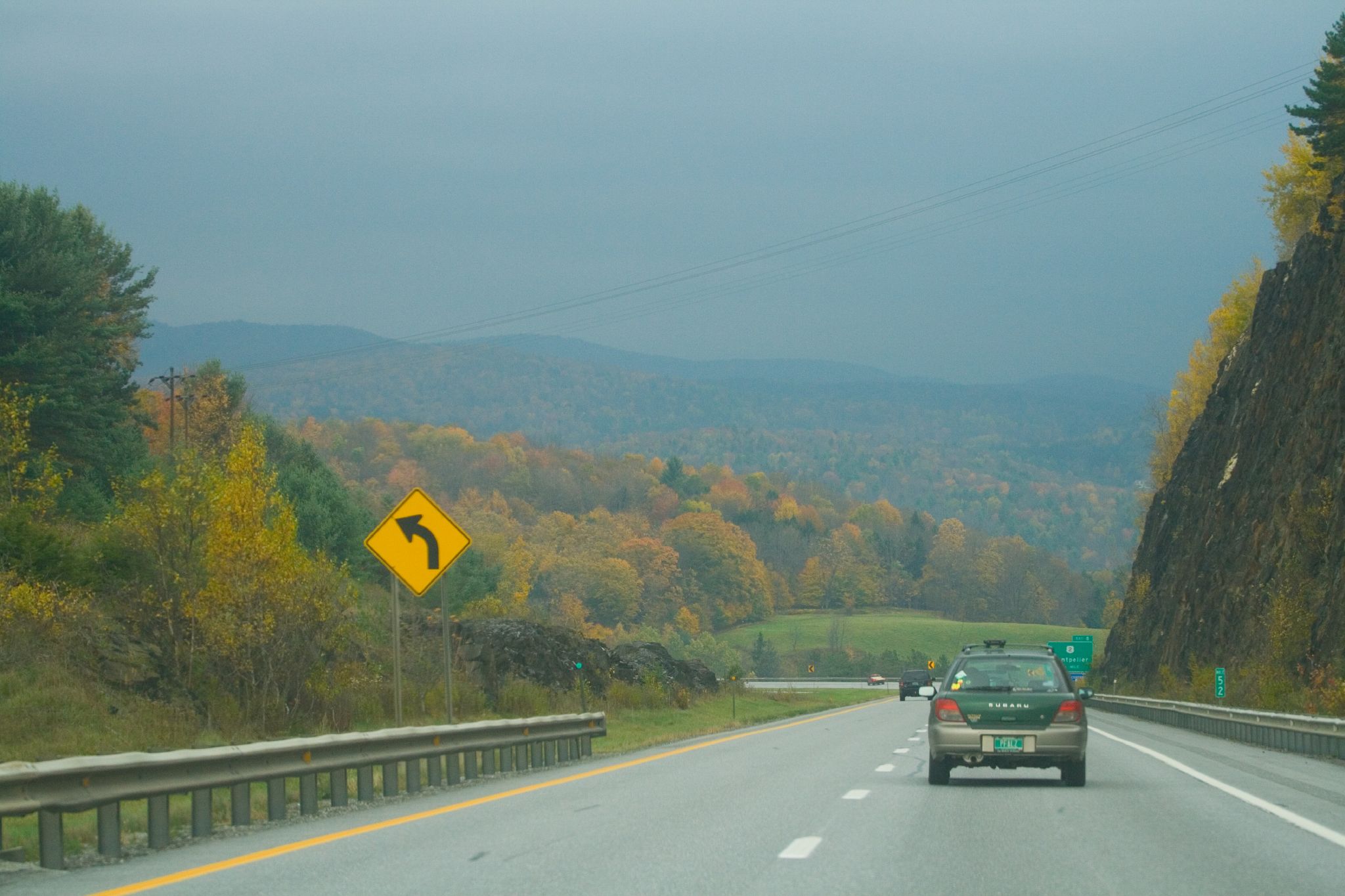
Interstate 89 Southbound
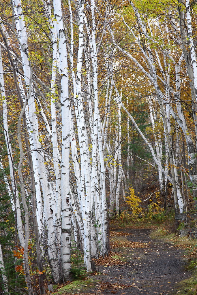
Birch Path
Topographic Map of 24 Middle Rd, Barre, VT, USA
Find elevation by address:

Places near 24 Middle Rd, Barre, VT, USA:
60 Silver Cir
50 Cherrywood Dr
73 S Main St
16 Spring St
1 Waterman St
Barre
320 Washington St
Merchants Row, Barre, VT, USA
1 East St
45 Park St
57 Park St
67 Franklin St
69 Franklin St
B.o.r. Ice Arena
Skylark Terrace
64 Warren St
65 Pleasant St
43 Fortney Pl
45 Fortney Pl
35 Tamarack Ln
Recent Searches:
- Elevation of Corso Fratelli Cairoli, 35, Macerata MC, Italy
- Elevation of Tallevast Rd, Sarasota, FL, USA
- Elevation of 4th St E, Sonoma, CA, USA
- Elevation of Black Hollow Rd, Pennsdale, PA, USA
- Elevation of Oakland Ave, Williamsport, PA, USA
- Elevation of Pedrógão Grande, Portugal
- Elevation of Klee Dr, Martinsburg, WV, USA
- Elevation of Via Roma, Pieranica CR, Italy
- Elevation of Tavkvetili Mountain, Georgia
- Elevation of Hartfords Bluff Cir, Mt Pleasant, SC, USA