Elevation map of Interstate 89, I-89, Vermont, USA
Location: United States > Vermont > Washington County > Berlin >
Longitude: -72.578760
Latitude: 44.1650296
Elevation: 440m / 1444feet
Barometric Pressure: 96KPa
Elevation Map:
Satellite Map:
Related Photos:
Asay Creek
U.S. Route 89
Colorado River
Utah State Road 89
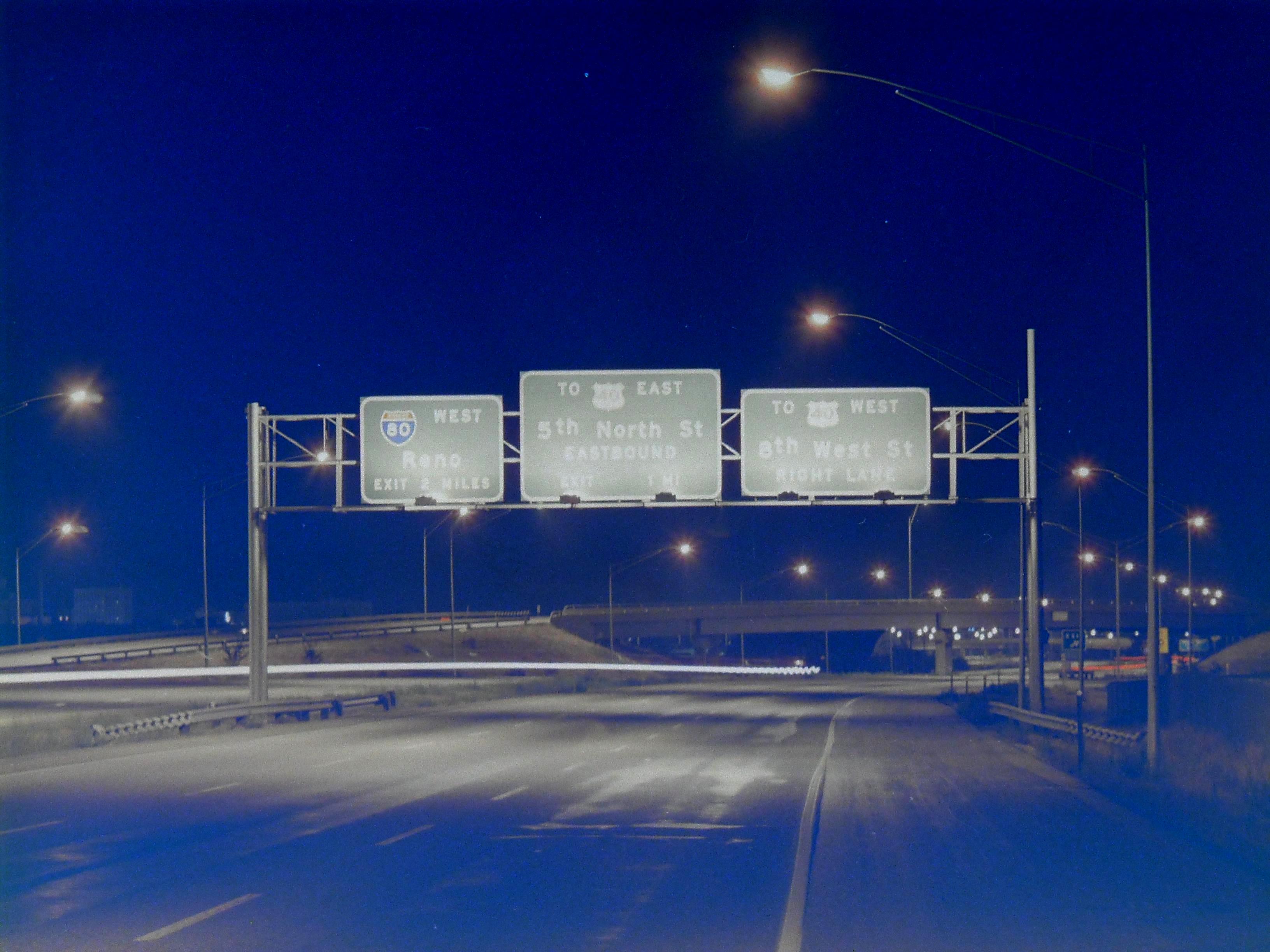
southbound I-15 at 1000 North, September 1969
highway 118
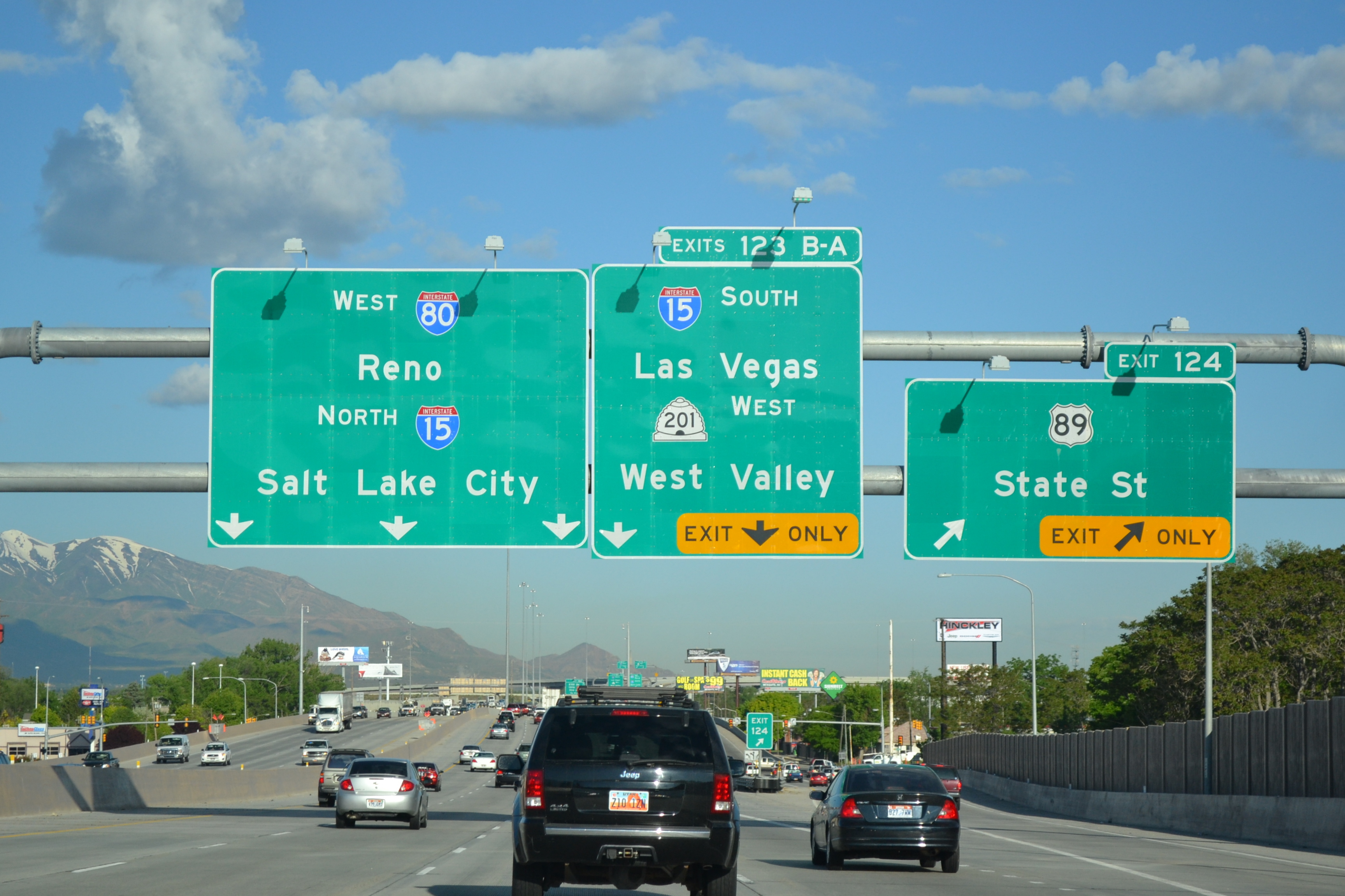
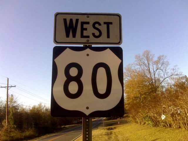
westbound I-80 at State St
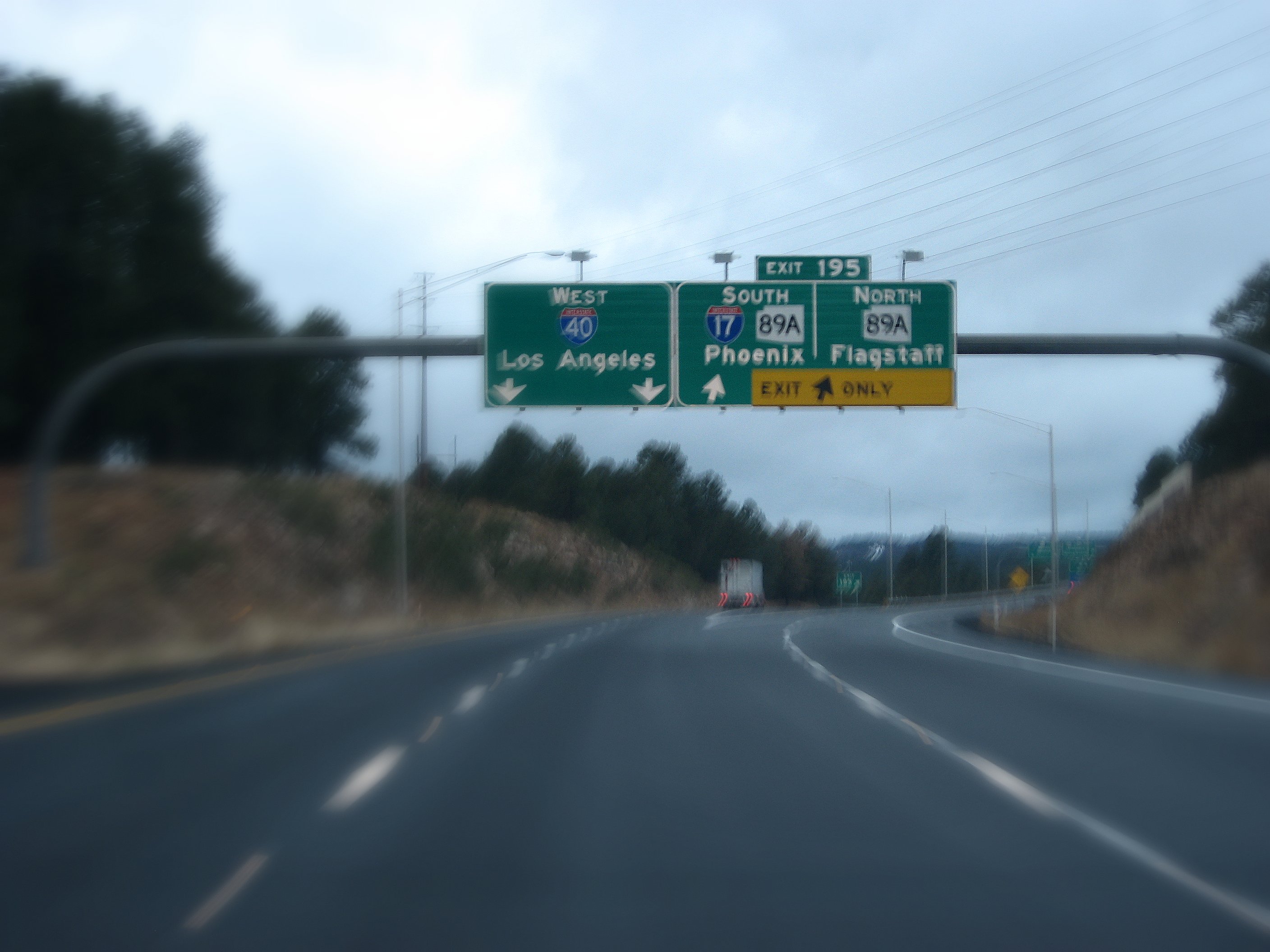
Junction of the Northern Terminus of Interstate 17 and Interstate 40, Flagstaff, Arizona

The Five Steps Needed For Putting Autozone Carmel Mountain Into Action | autozone carmel mountain
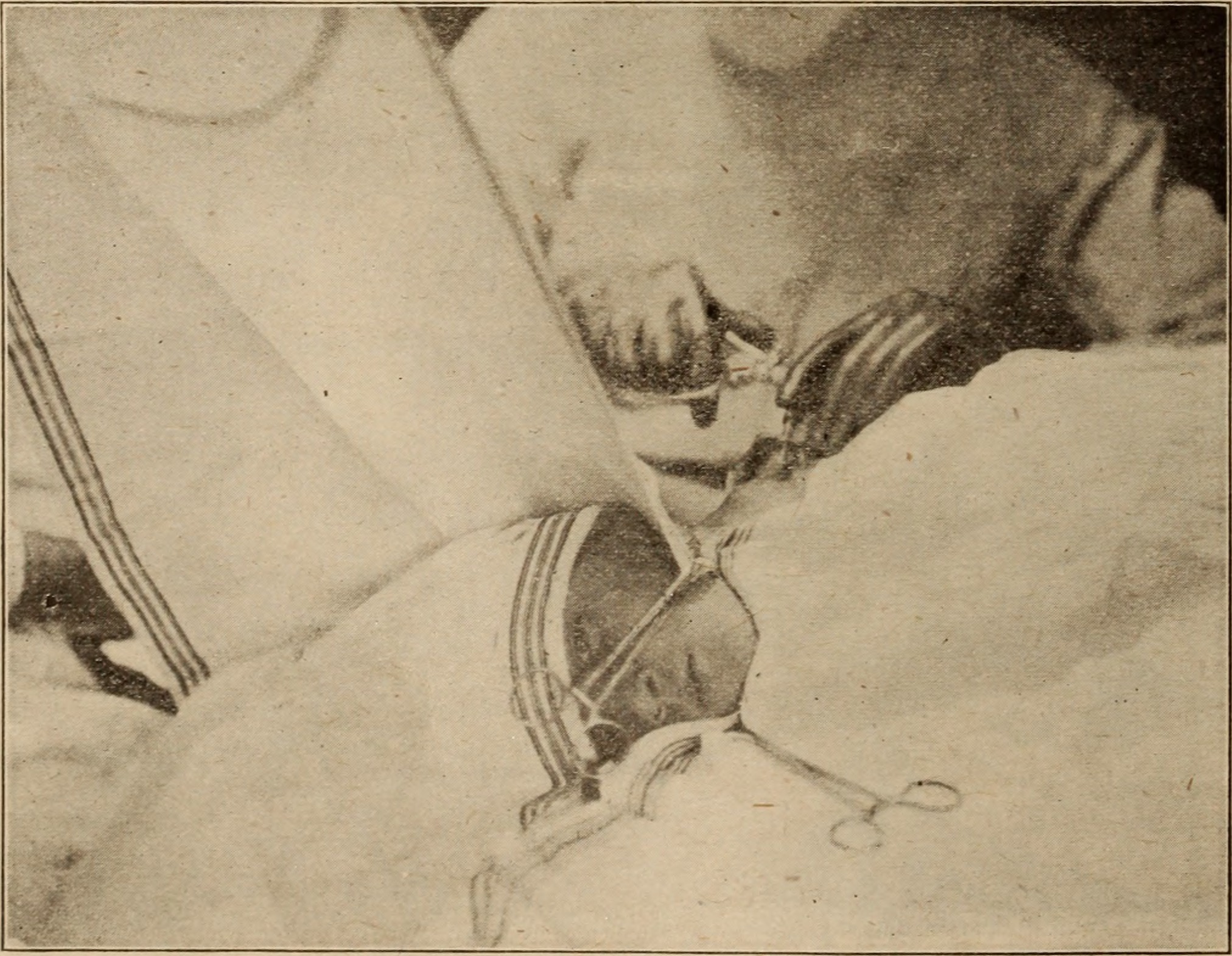
Image from page 107 of "Interstate medical journal" (1919)
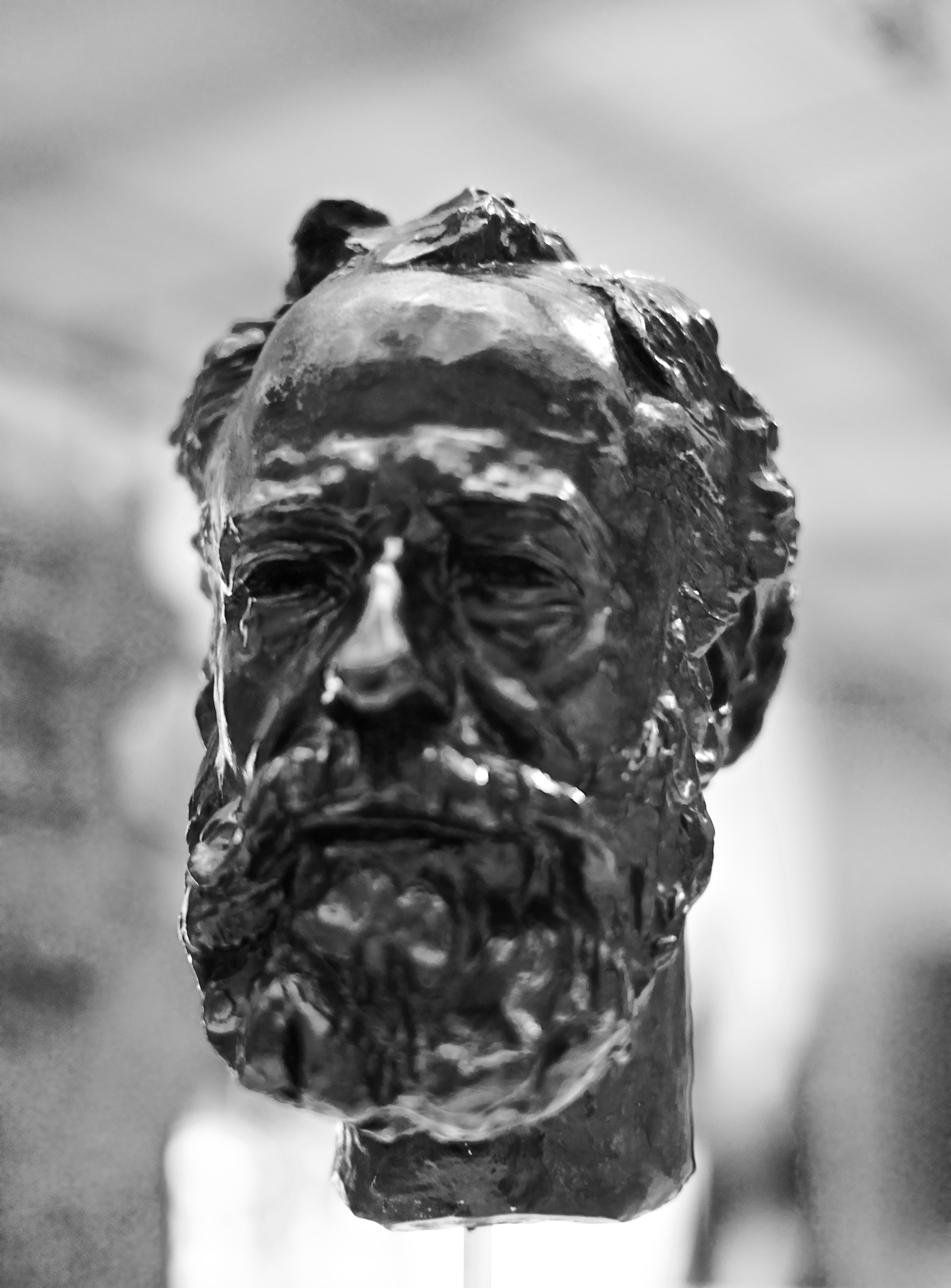
Portrait of Legros (1910) - Auguste Rodin (1840 - 1917)

How You Can Attend Autozone In Harrison Ar With Minimal Budget | autozone in harrison ar
Tracy Flick's House - Election

27 Things You Didn’t Know About Autozone Norfolk Nebraska | autozone norfolk nebraska

U.S. Route 89 Utah
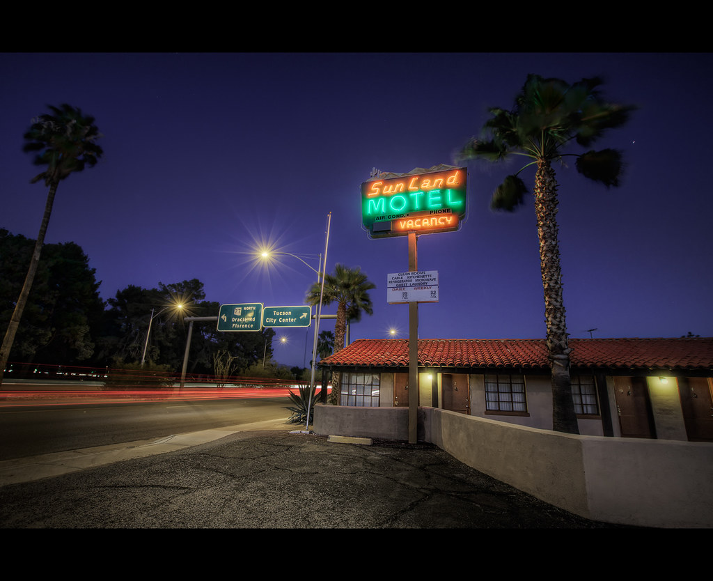
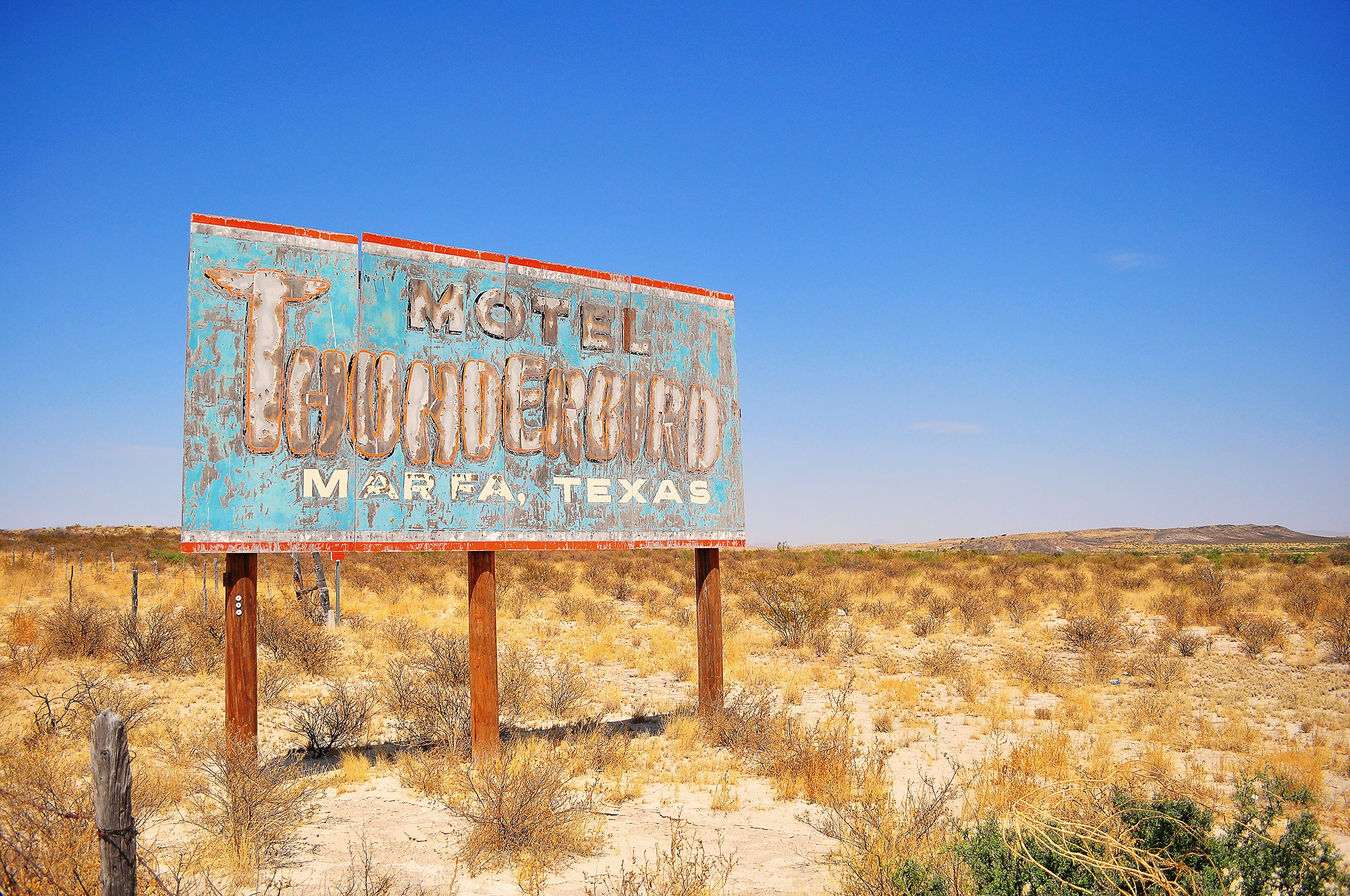
sunland motel, est. 1949
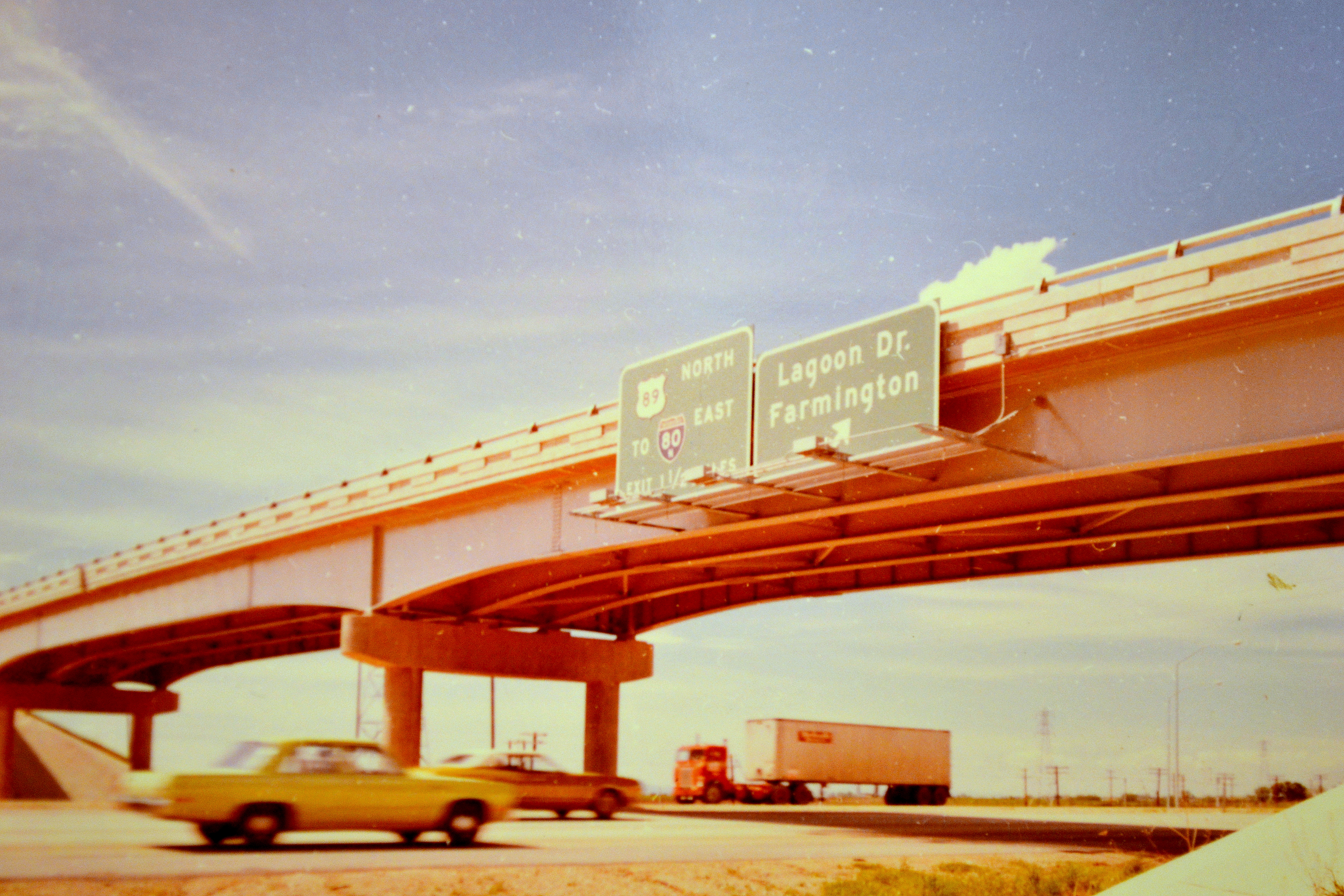
Old US 80 the Dixie Overland Highway
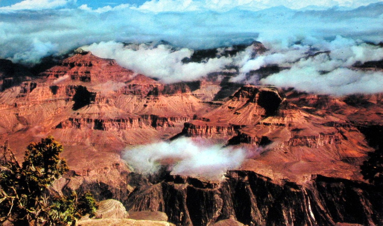
Grand Canyon National Park, Arizona Postcard
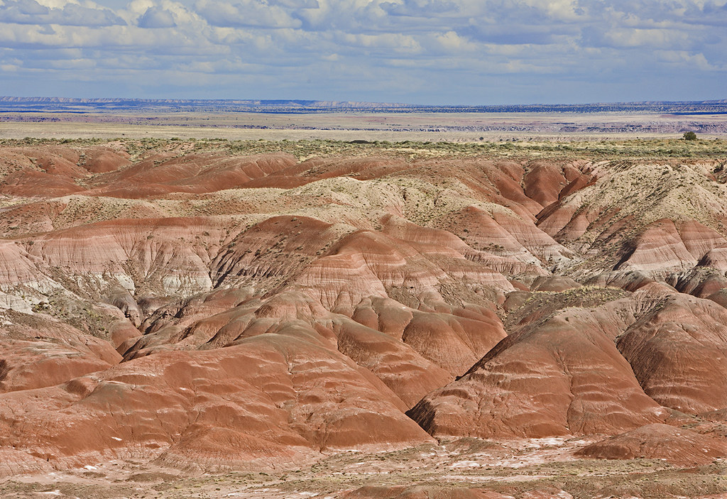
Painted Desert - Petrified Forest National Park
northbound I-15 at 200 West, 1972
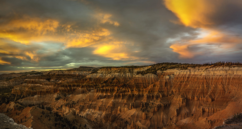
Misty Cedar Breaks Nat'l Monument
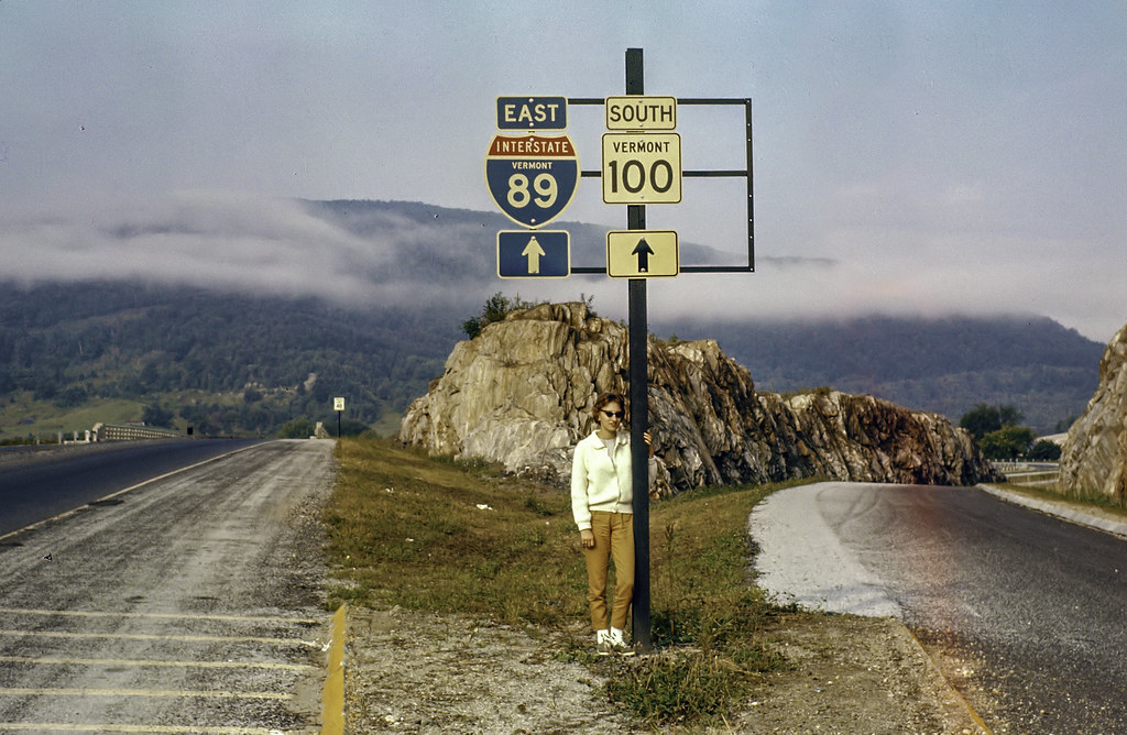
Vermont division
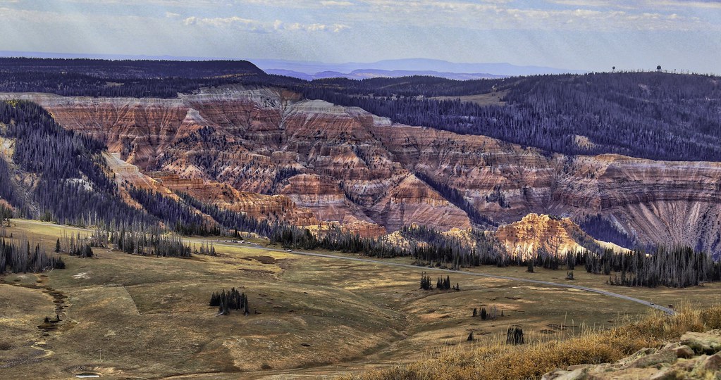
Cedar Breaks National Monument
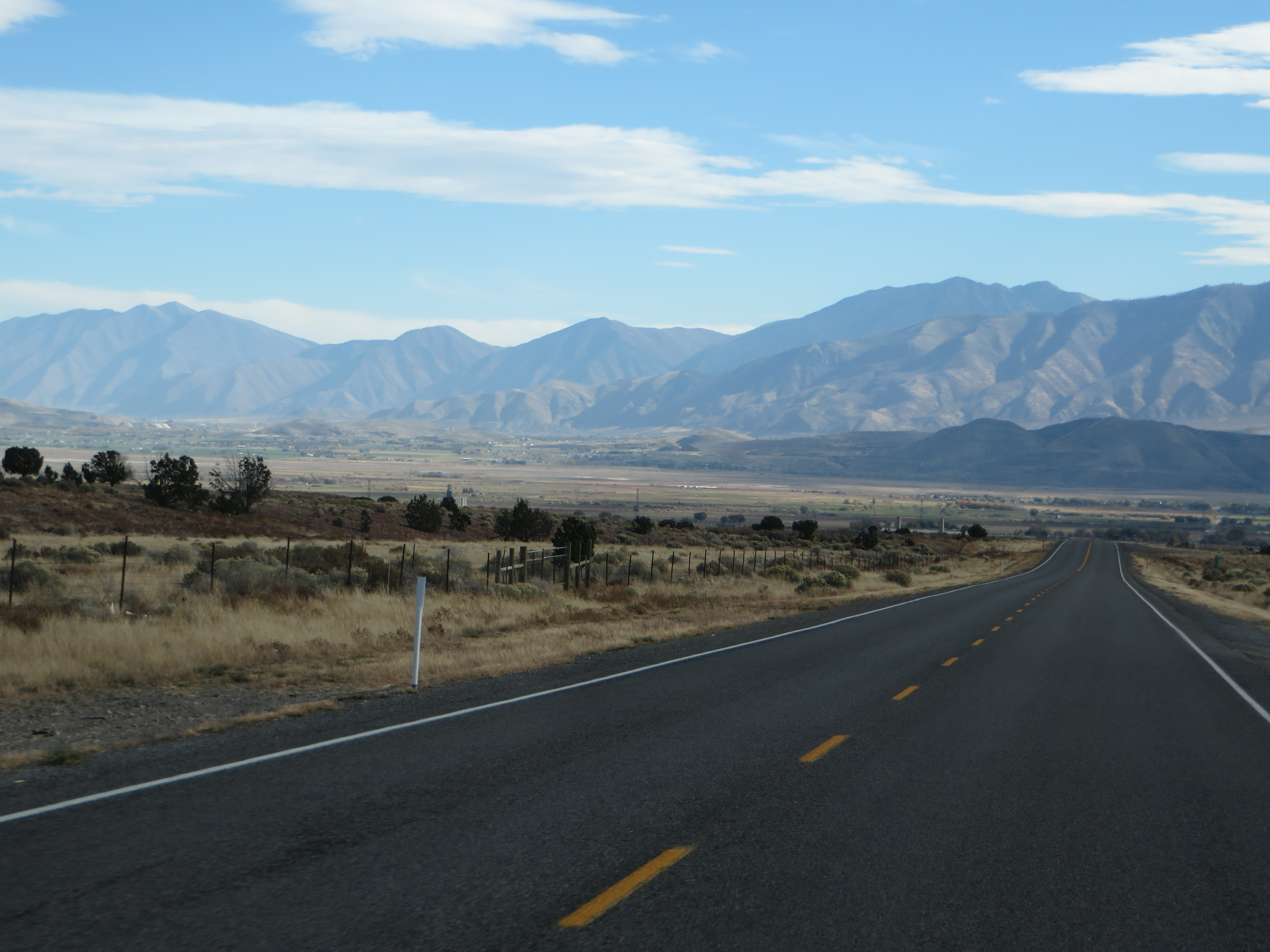
U.S. Route 6 South of Eureka, Utah

Capitol And State
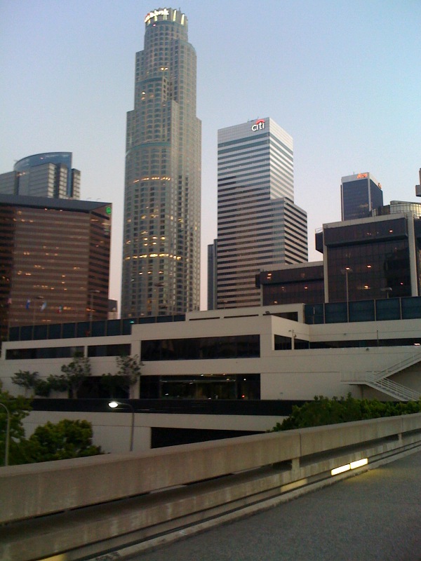
Pedestrian footbridge to Los Angeles World Trade Center; U.S. Bank building and Citi building appear to dwarf the old United California Bank Building / First Interstate Tower building (now Aon Center)
U.S. 89 Approaching U.S. 6 near Spanish Fork, Utah
S.R. 143 Between Cedar Breaks National Monument and Panguitch, Utah (8)
U.S. Route 6 Between Eureka and Santaquin, Utah
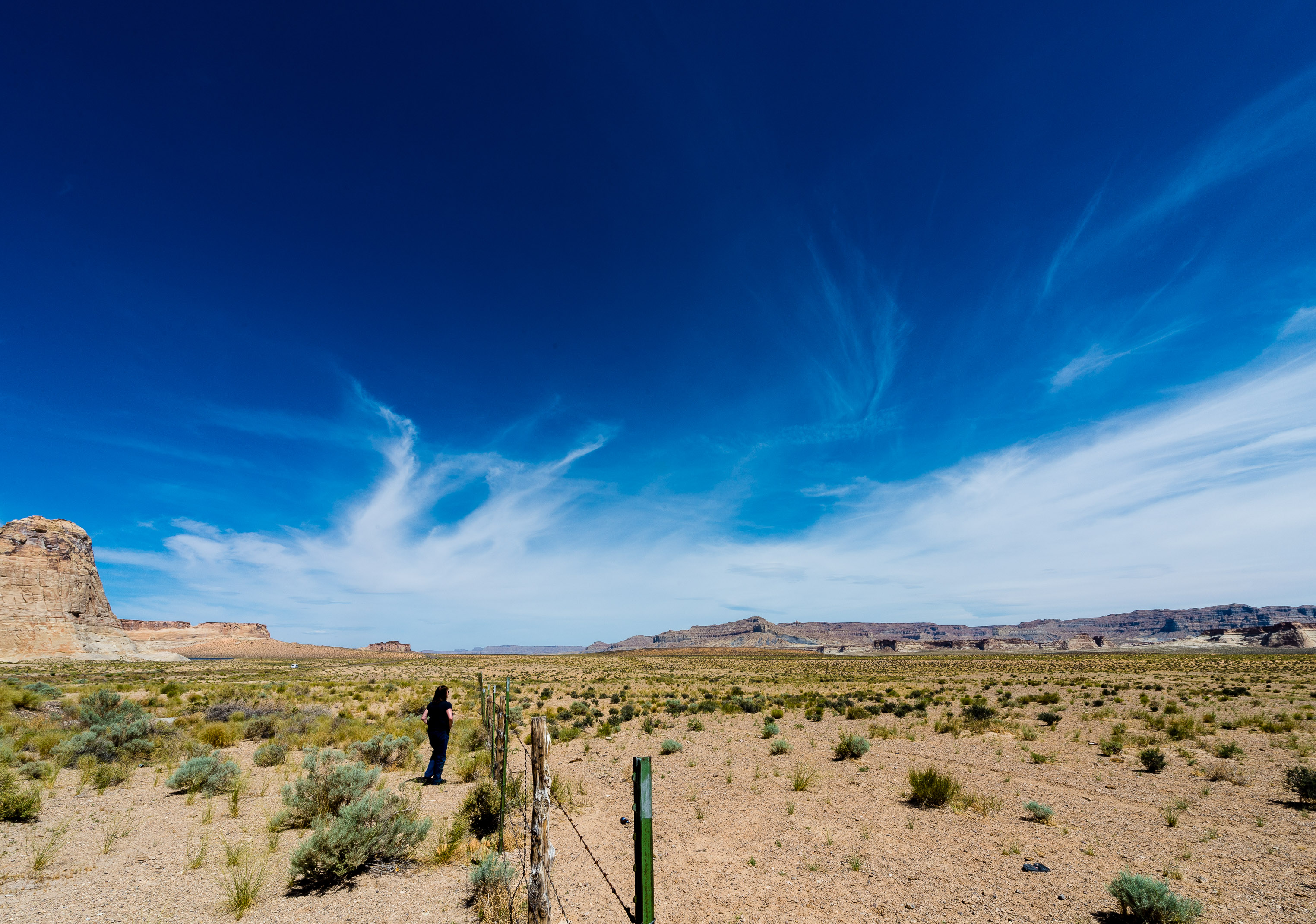
US Highway 89 near Lake Powell, Utah
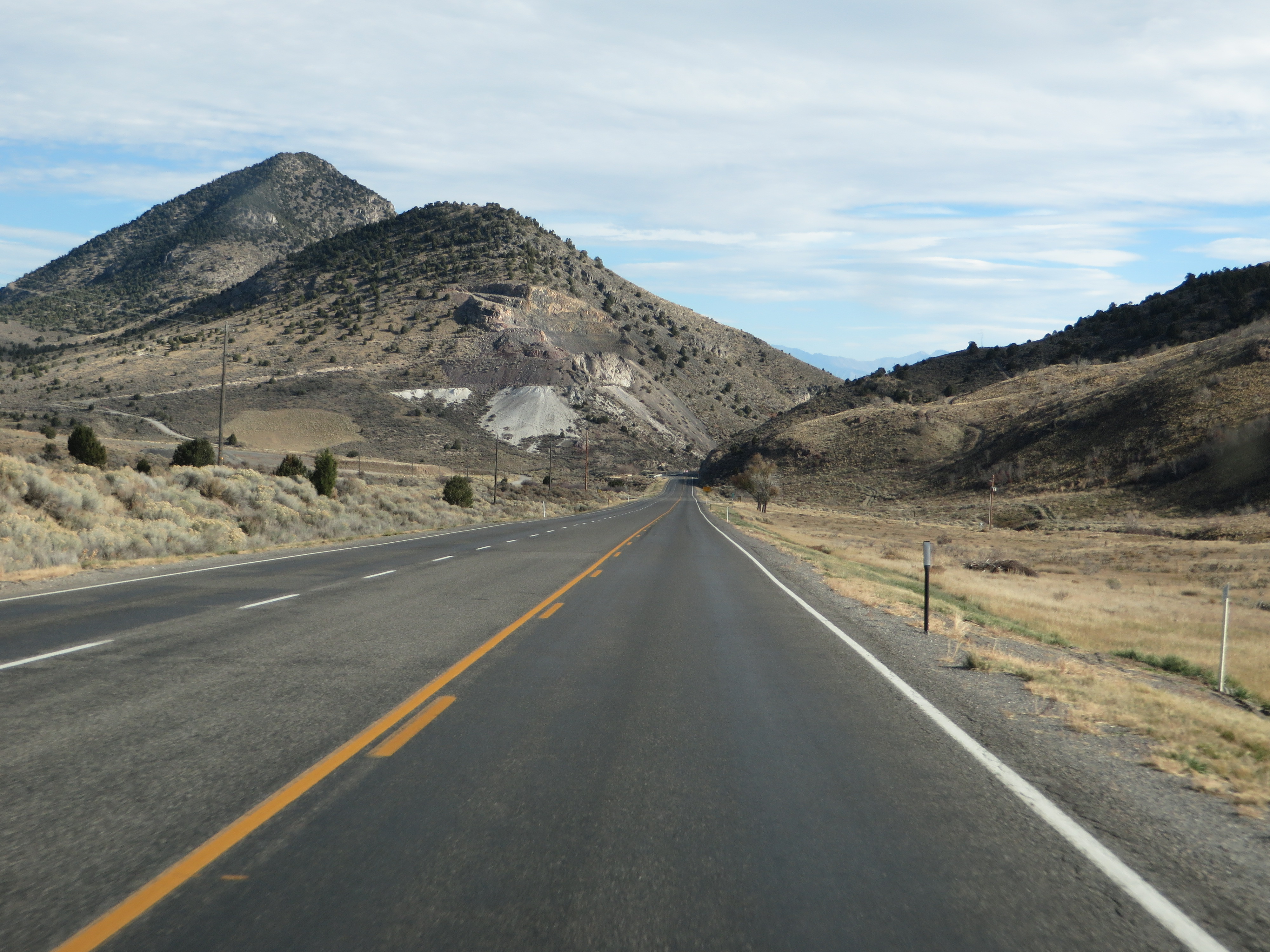
U.S. Route 6 Near Eureka, Utah
U.S. 89 Between Panguitch and Orderville, Utah (5)
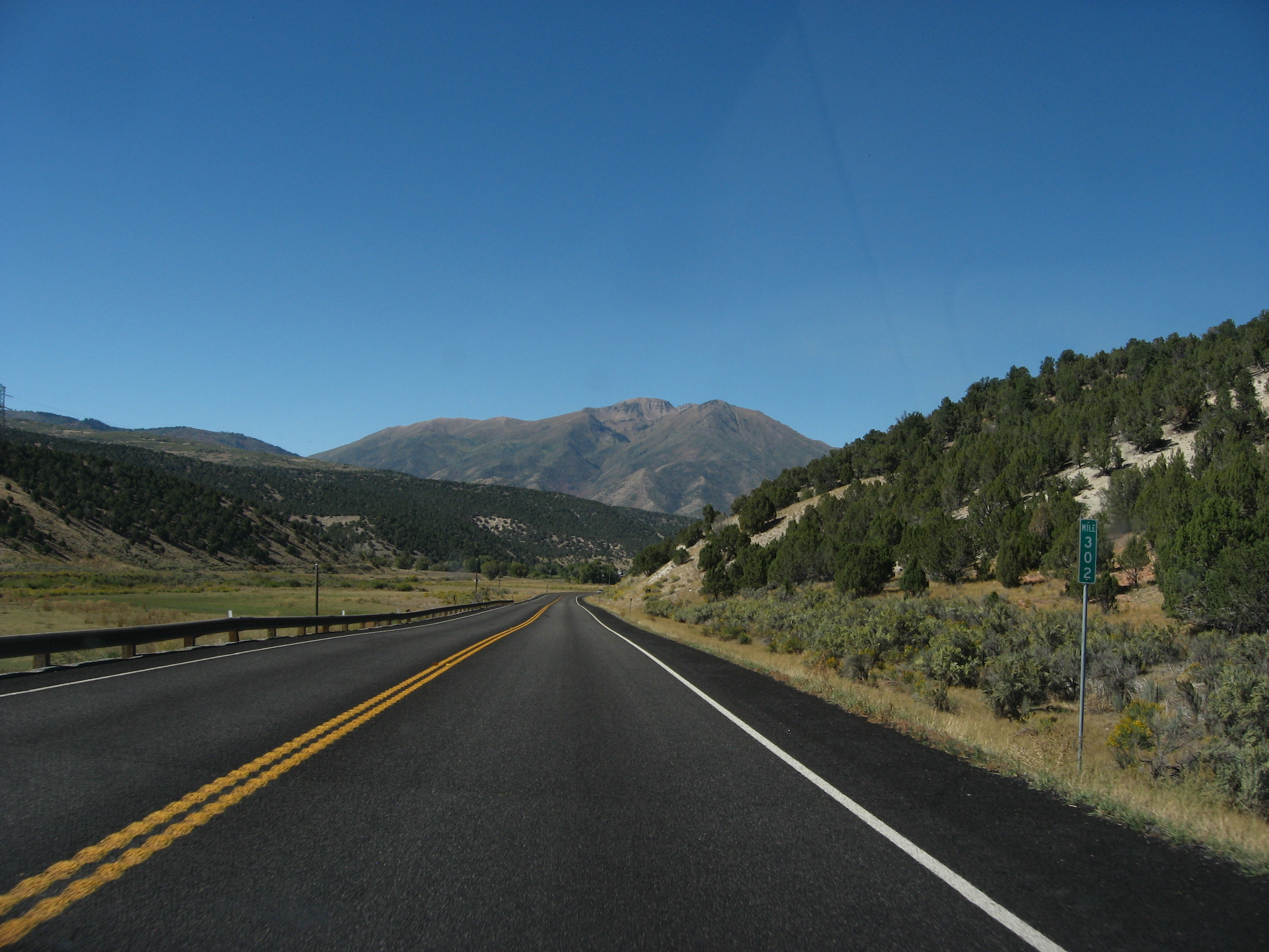
highway 118
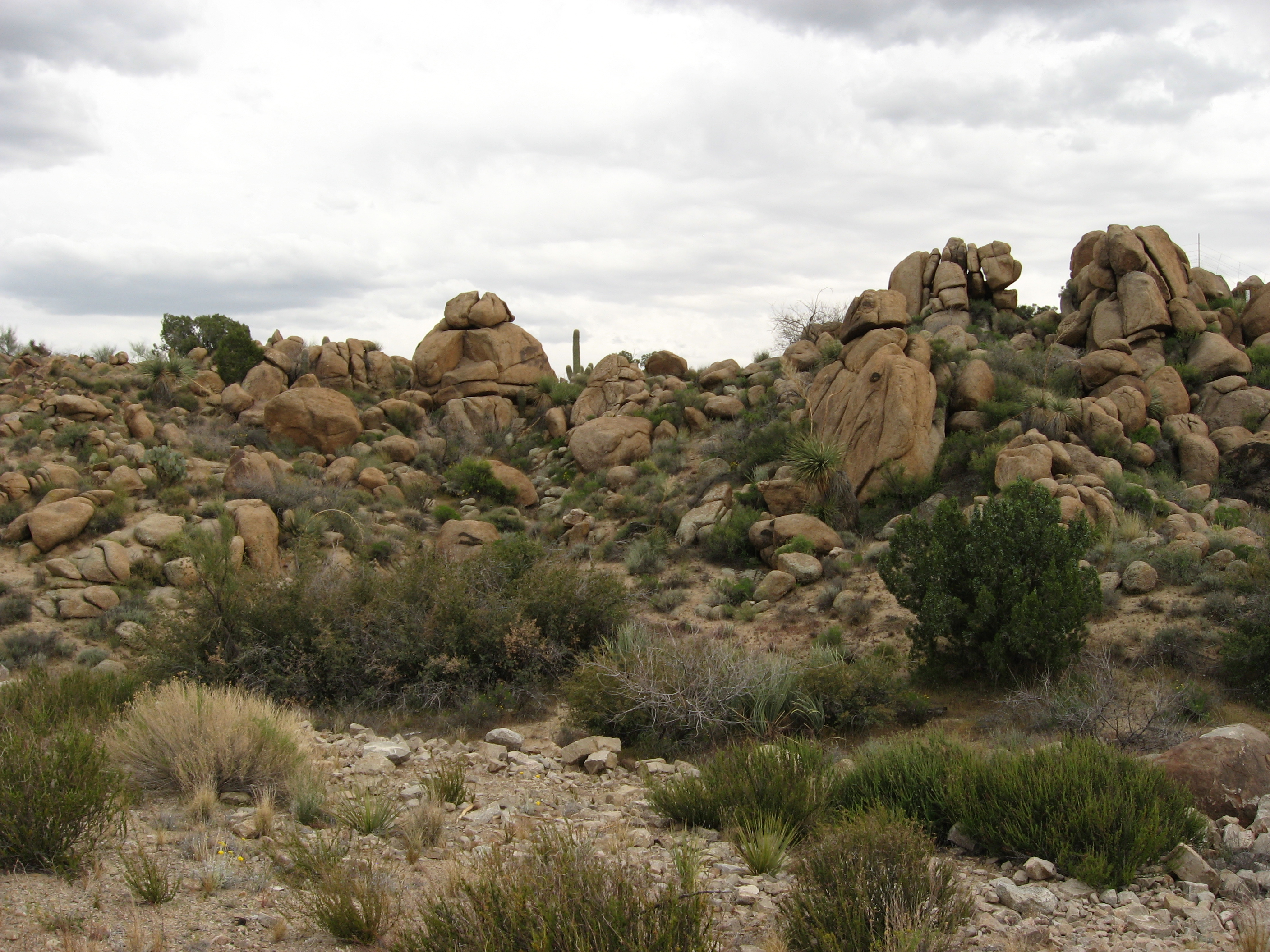
Rocky Outcropping Along U.S. 93 Near Nothing, Arizona
U.S. Route 89, Kane County, Utah

U.S. 89 Between Panguitch and Orderville, Utah (3)
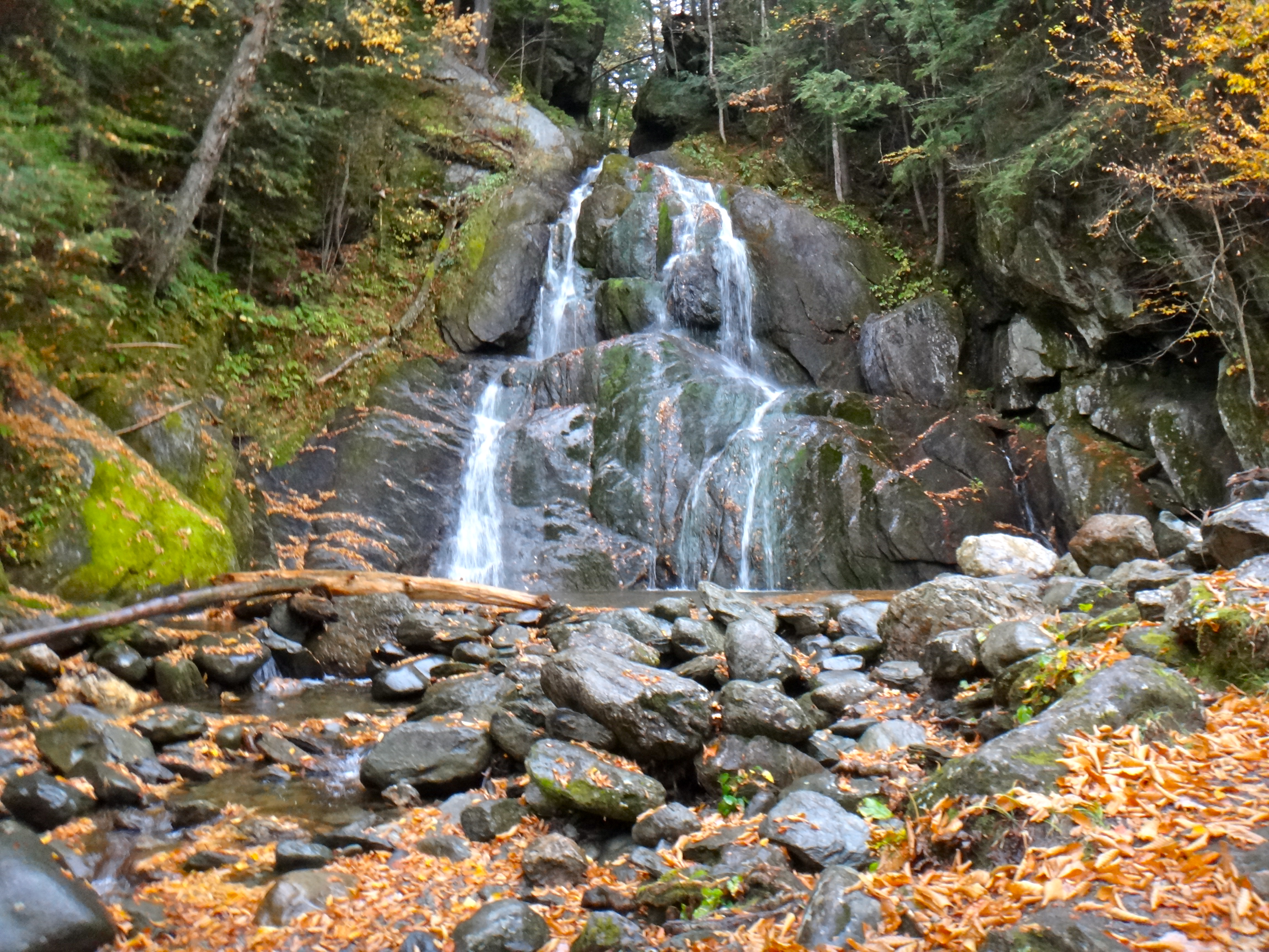
Moss Glen Falls

Pieces Of My Shattered Mirror
Topographic Map of Interstate 89, I-89, Vermont, USA
Find elevation by address:

Places near Interstate 89, I-89, Vermont, USA:
Interstate 89
Interstate 89
Interstate 89
236 E Rd
2676 Berlin Pond Rd
32 Breer Rd
Hebert Road
1146 Hebert Rd
18 Paine Turnpike N, Berlin, VT, USA
Berlin
Bolster Reservoir
445 Industrial Ln
111 Brush Hill Rd
72 Forest Rd
120 Old Town Rd
90 Birchwood Dr
20 Methodist Ln
Williamstown
1251 Hill St Exd
919 S Barre Rd
Recent Searches:
- Elevation of Corso Fratelli Cairoli, 35, Macerata MC, Italy
- Elevation of Tallevast Rd, Sarasota, FL, USA
- Elevation of 4th St E, Sonoma, CA, USA
- Elevation of Black Hollow Rd, Pennsdale, PA, USA
- Elevation of Oakland Ave, Williamsport, PA, USA
- Elevation of Pedrógão Grande, Portugal
- Elevation of Klee Dr, Martinsburg, WV, USA
- Elevation of Via Roma, Pieranica CR, Italy
- Elevation of Tavkvetili Mountain, Georgia
- Elevation of Hartfords Bluff Cir, Mt Pleasant, SC, USA