Elevation of Hearne, TX, USA
Location: United States > Texas > Robertson County >
Longitude: -96.593025
Latitude: 30.8785238
Elevation: 90m / 295feet
Barometric Pressure: 100KPa
Elevation Map:
Satellite Map:
Related Photos:

Calvert Texas George F. Barber designed house backview

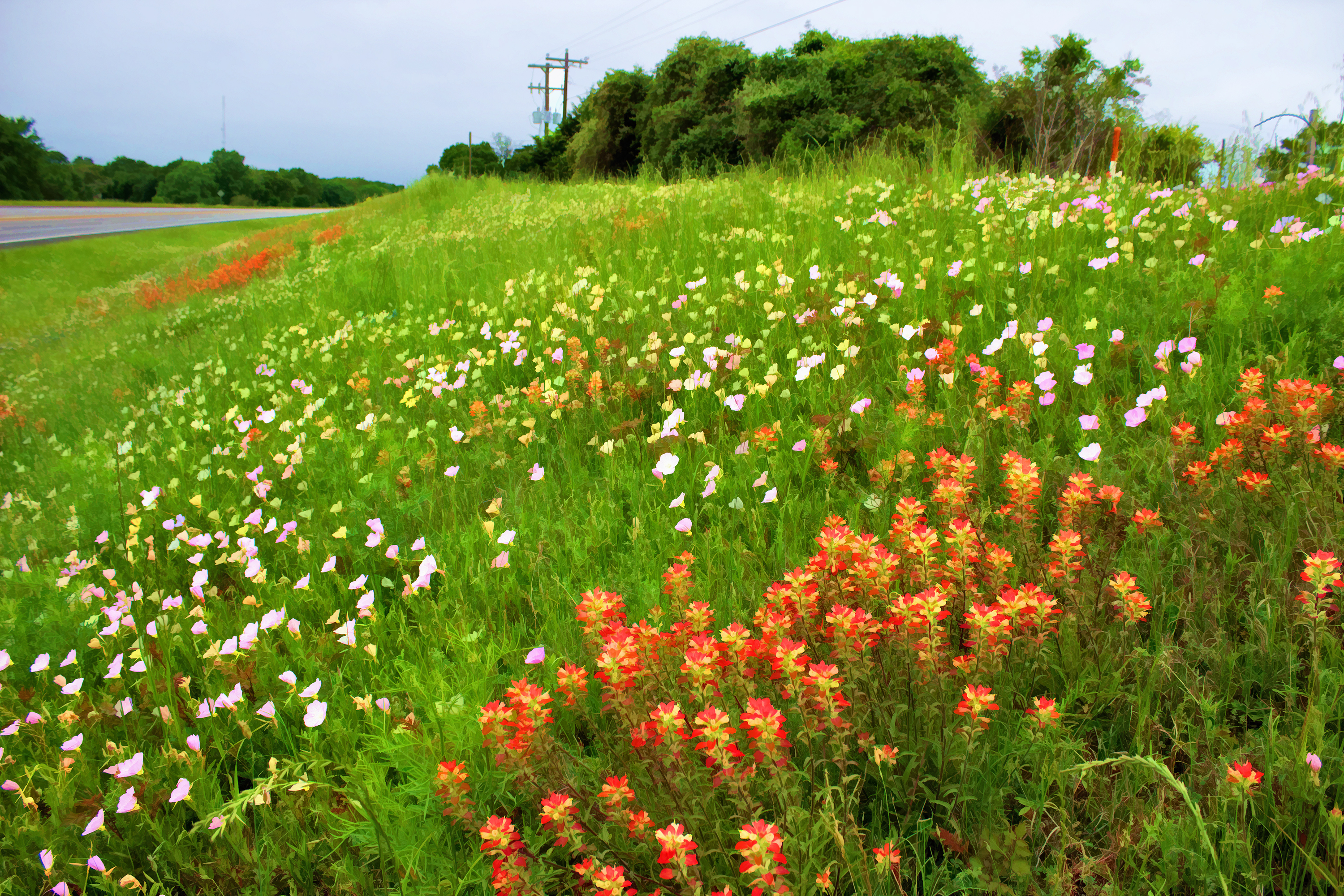
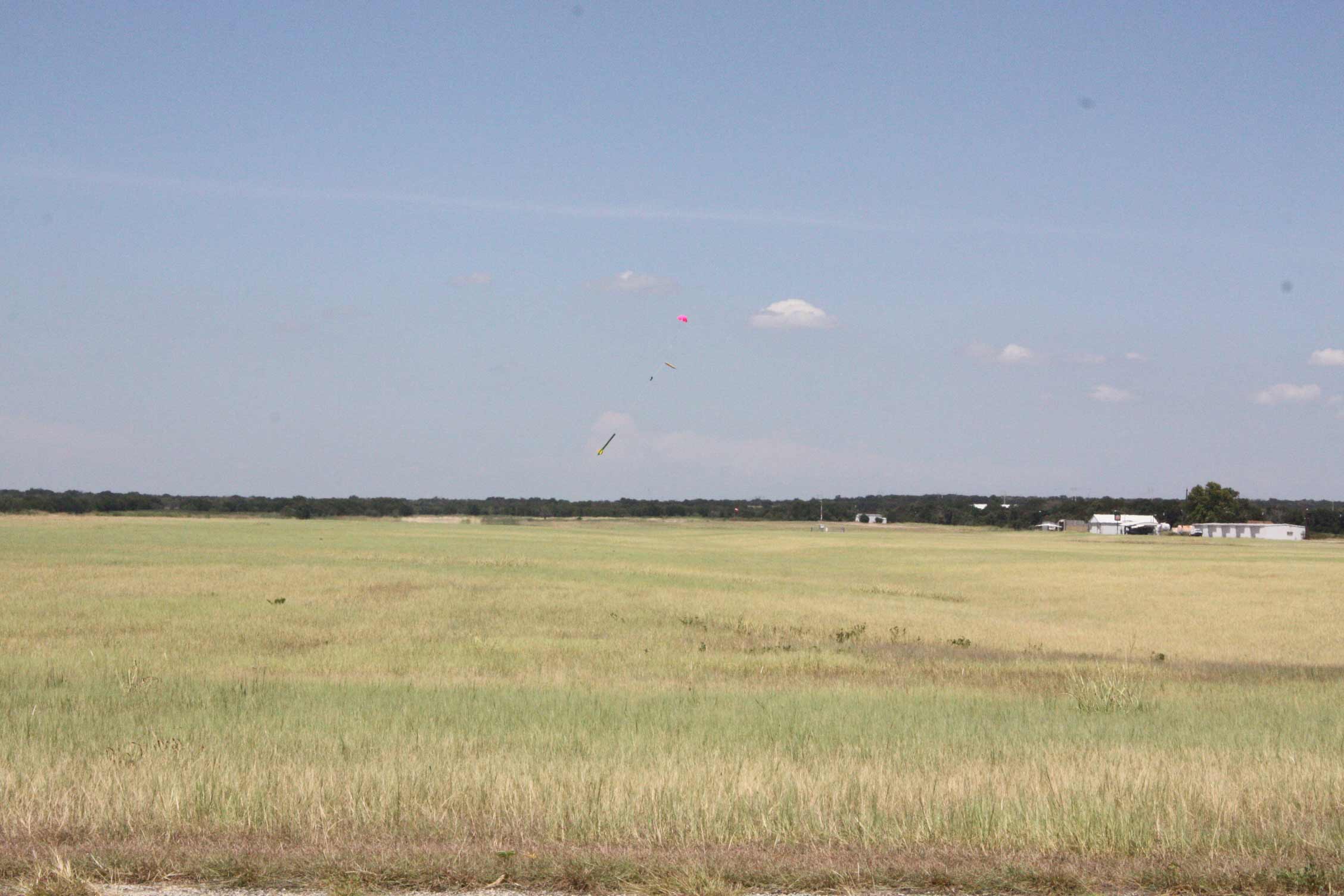
Grassy Sunset 1
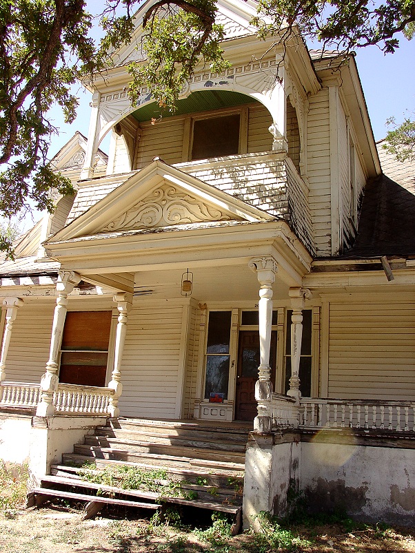
Calvert Texas 209 Burnett Street Front View
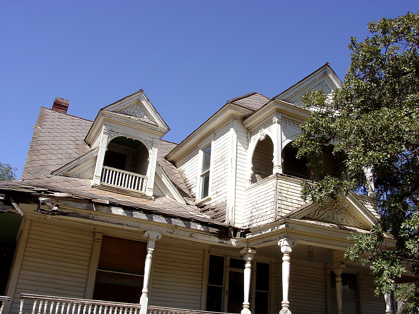
Calvert Texas 209 Burnett front side view

Coffee Klatsch
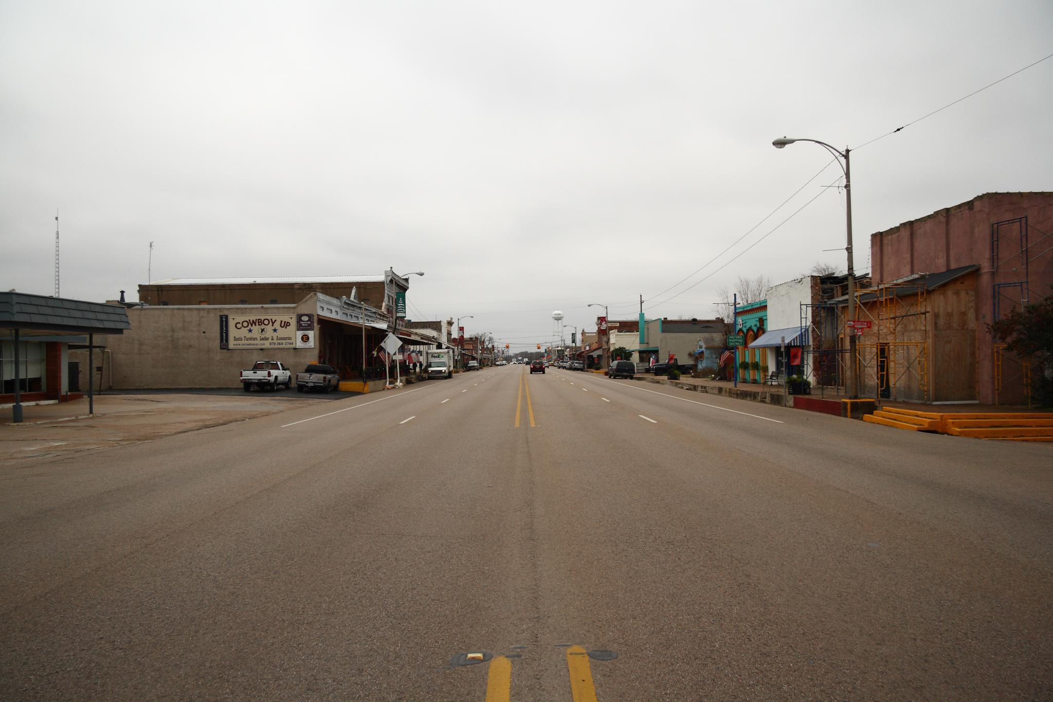
Calvert, Texas
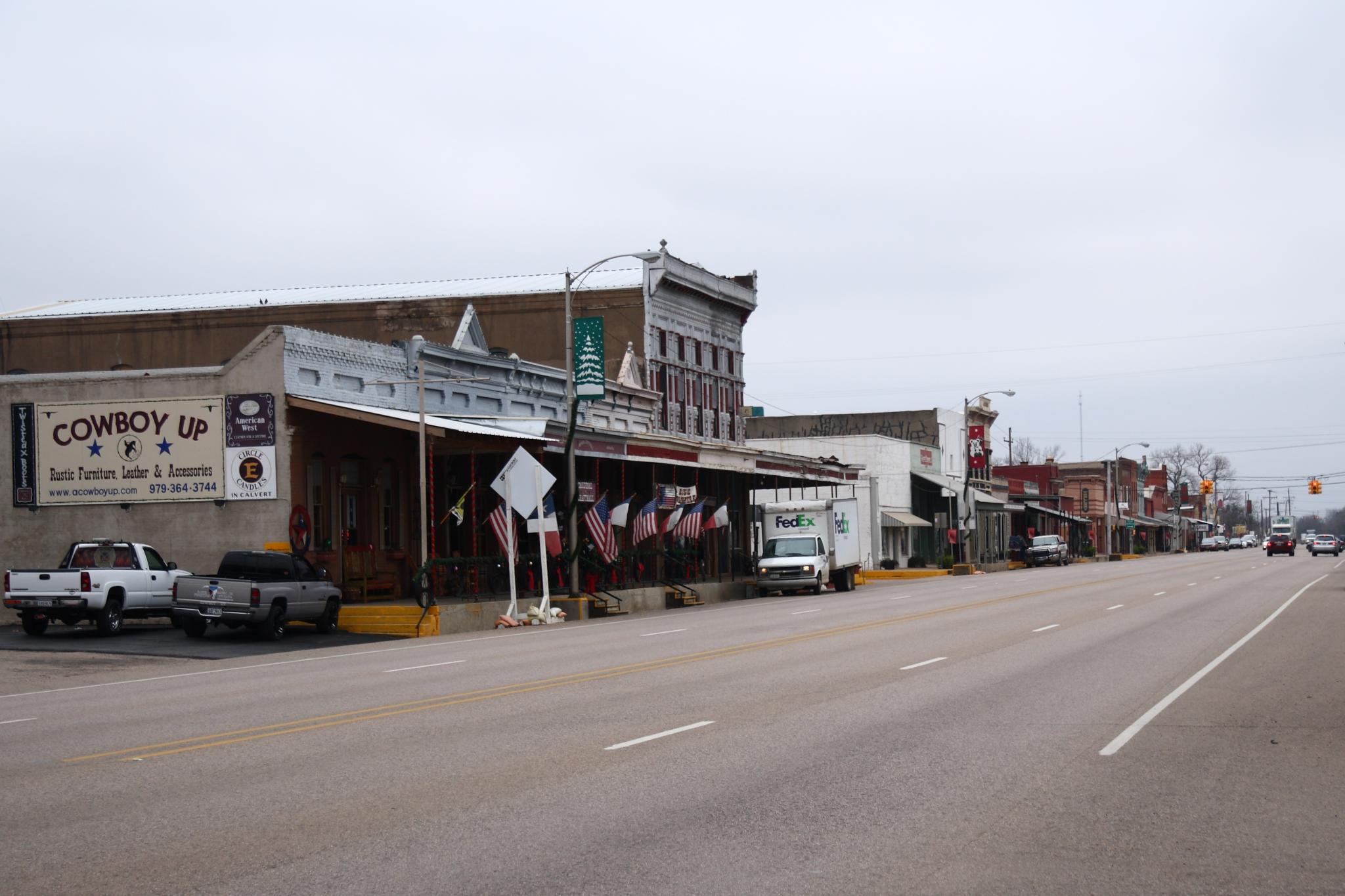
Calvert Texas
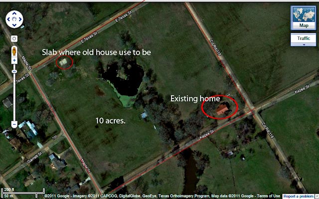
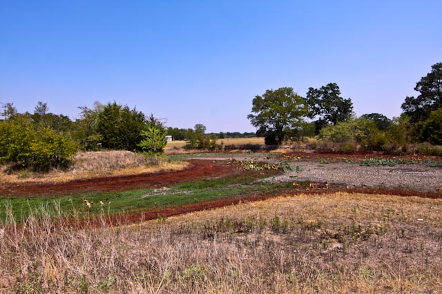
Aerial view of 10 acres
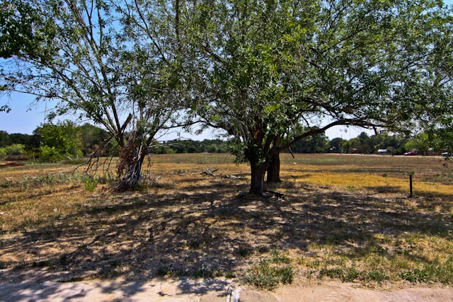
View from old homesite slab

View from old homesite slab
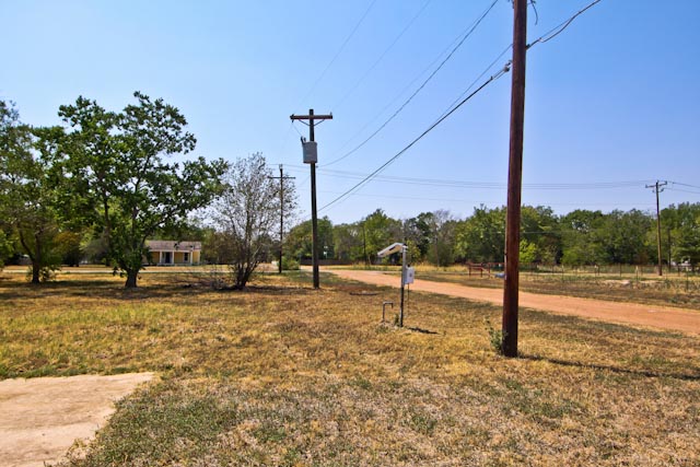
Street view from old homesite
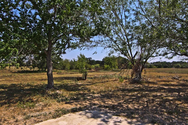
View from old homesite slab
View from old homesite slab

Calvert Inn
jd-f1u

Day 9: Natchez to Austin
Truss Bridge, Providence Road over Little Brazos River, Hearne, Texas 1403151303
10 acres
Addagio for a Broke Promise
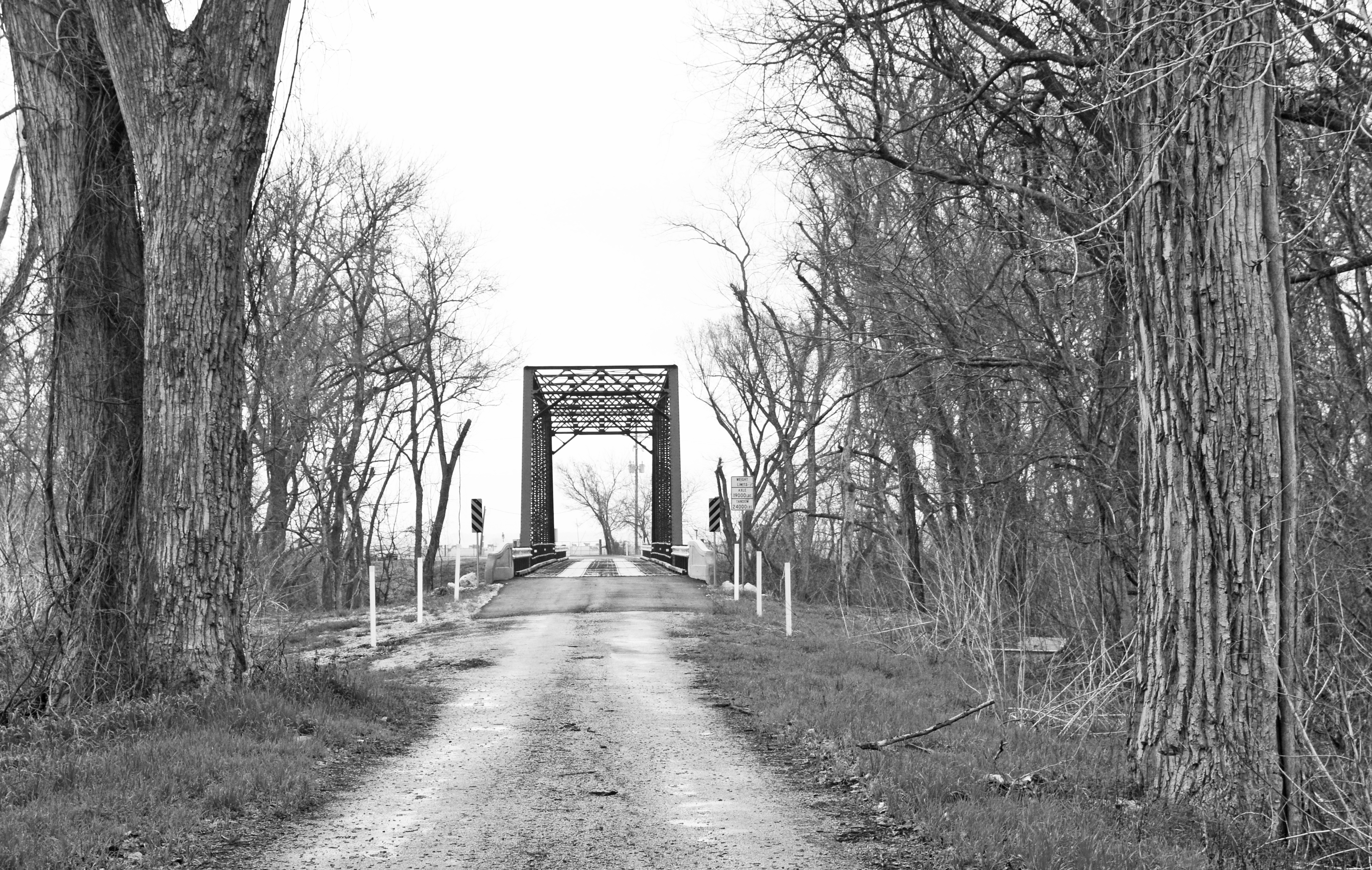
Truss Bridge, Wildcat Bridge Road over Little Brazos River, Calvert, Texas 1403151238bw

Brazos River
Spring fed large tank
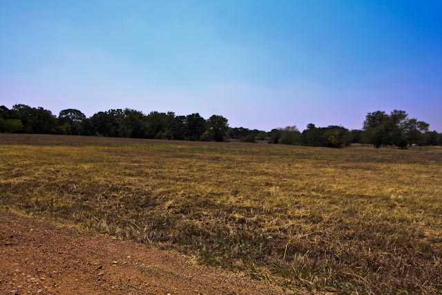
10 acres
jd-f1s
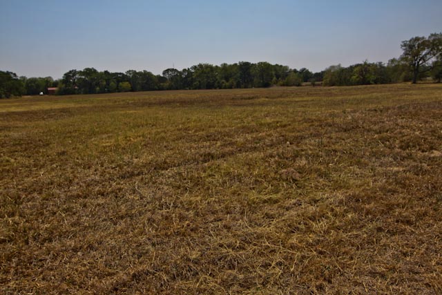
10 acres

10 acres

10 acres
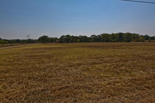
10 acres
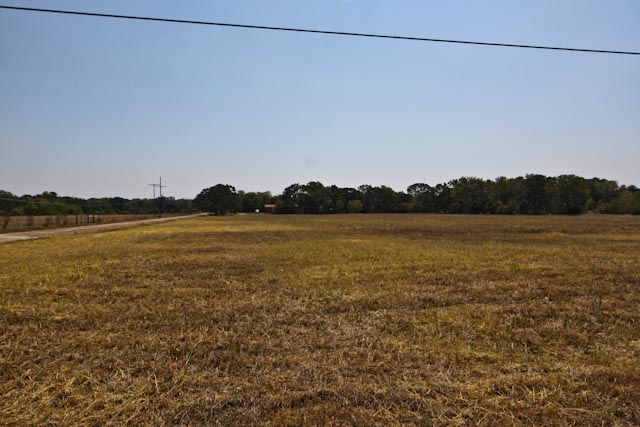
10 acres
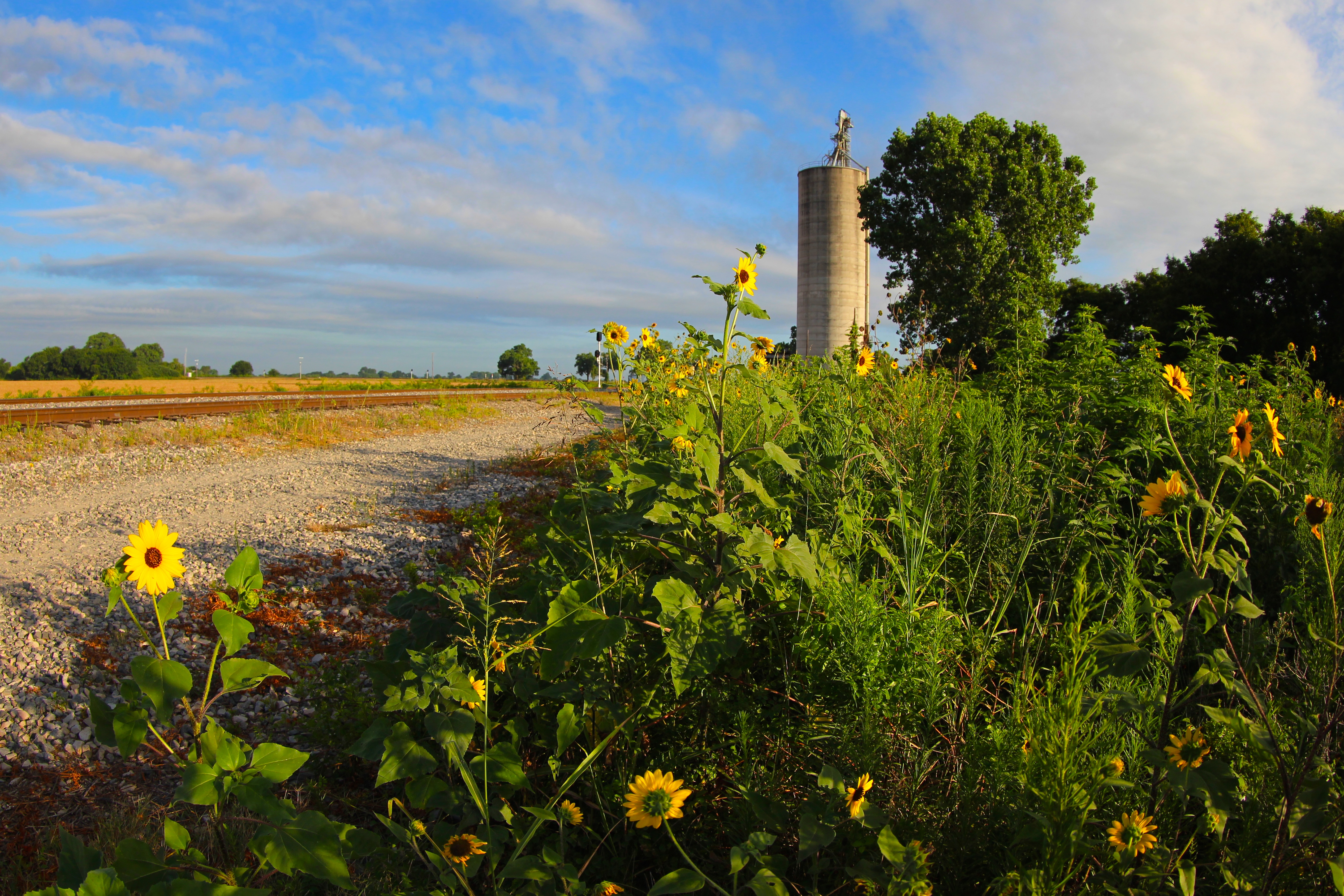
Valley Junction TX
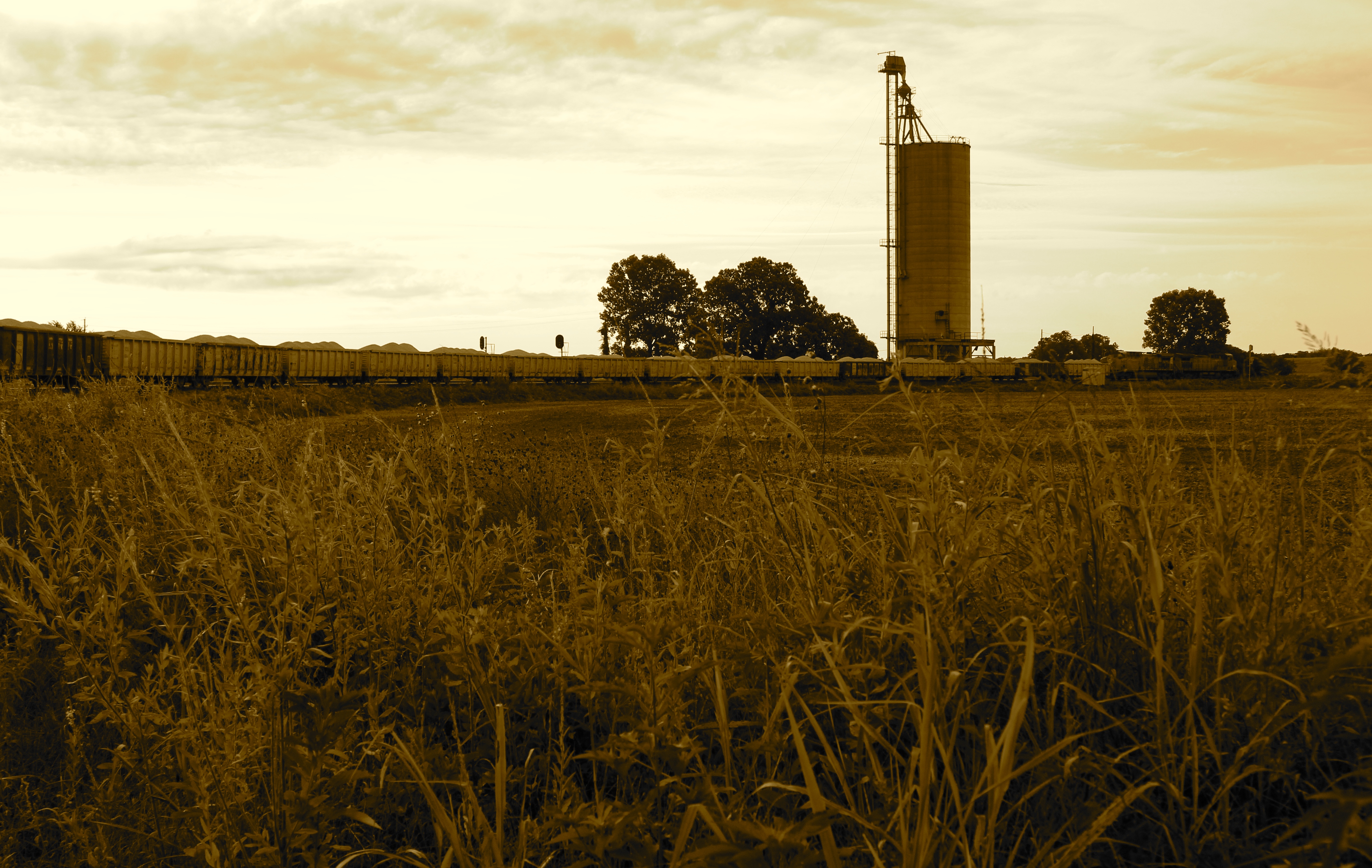
Gravel train rounds curve
Topographic Map of Hearne, TX, USA
Find elevation by address:

Places in Hearne, TX, USA:
Places near Hearne, TX, USA:
FM, Hearne, TX, USA
FM, Cameron, TX, USA
10724 Dunns Fort Rd
Hughes Cutoff
Texas 6 Frontage Rd, Bryan, TX, USA
1451 Louis E Mikulin Rd
4805 Co Rd 339
Steel Store Rd, Bryan, TX, USA
FM, Gause, TX, USA
North Country Court
TX-21, Caldwell, TX, USA
1700 Independence Ave
Edge Cut Off Rd, Hearne, TX, USA
Bryan
5408 Lake Dr
994 Tx-36
1327 Park St
Caldwell, TX, USA
Milano
2104 E William Joel Bryan Pkwy
Recent Searches:
- Elevation of Corso Fratelli Cairoli, 35, Macerata MC, Italy
- Elevation of Tallevast Rd, Sarasota, FL, USA
- Elevation of 4th St E, Sonoma, CA, USA
- Elevation of Black Hollow Rd, Pennsdale, PA, USA
- Elevation of Oakland Ave, Williamsport, PA, USA
- Elevation of Pedrógão Grande, Portugal
- Elevation of Klee Dr, Martinsburg, WV, USA
- Elevation of Via Roma, Pieranica CR, Italy
- Elevation of Tavkvetili Mountain, Georgia
- Elevation of Hartfords Bluff Cir, Mt Pleasant, SC, USA