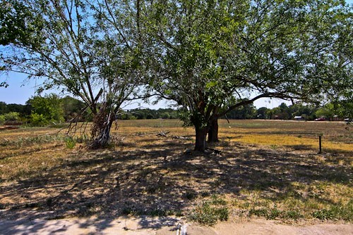
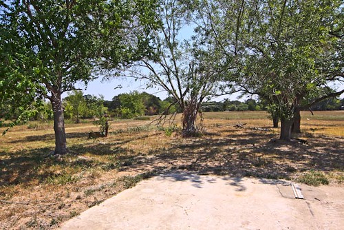
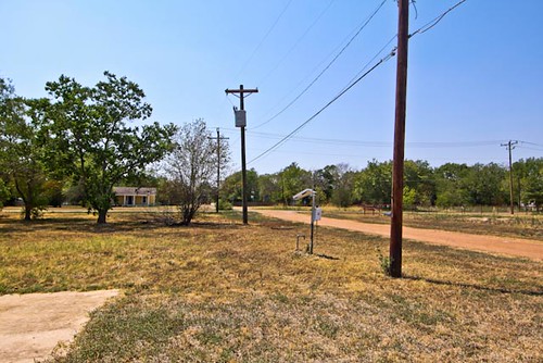
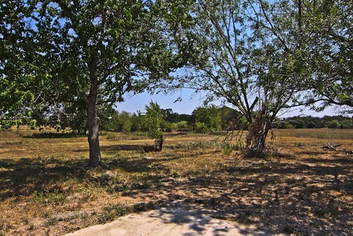
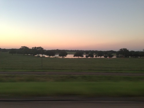
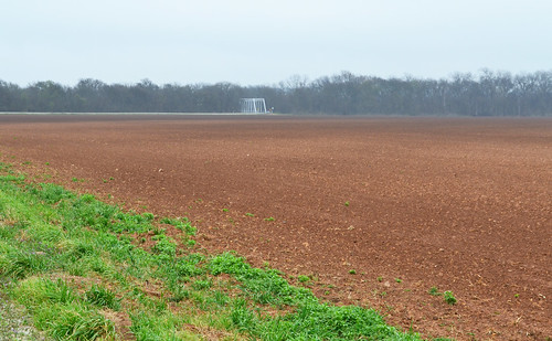
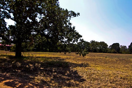
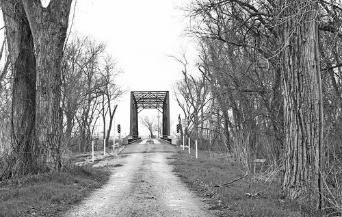
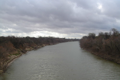
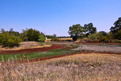
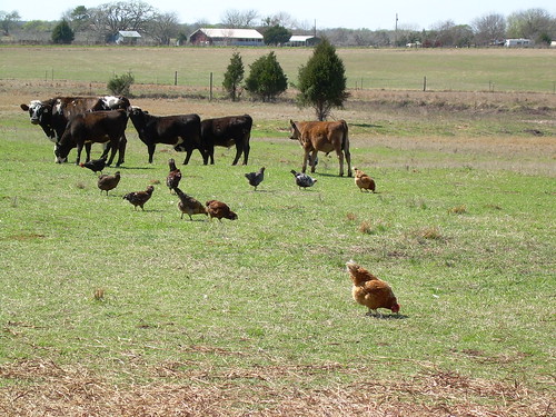
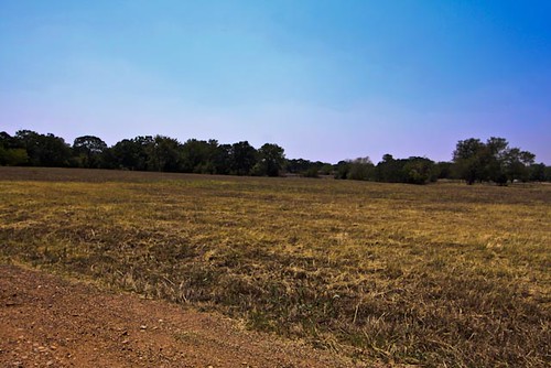
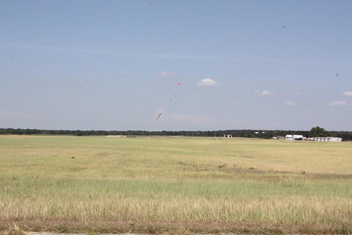
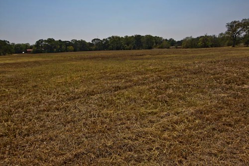
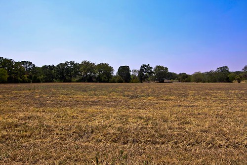
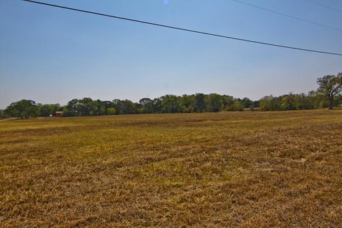
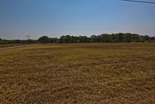
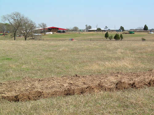
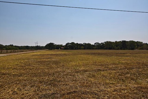
Elevation of FM, Cameron, TX, USA
Location: United States > Texas > Milam County > Cameron >
Longitude: -96.755522
Latitude: 30.8848781
Elevation: 103m / 338feet
Barometric Pressure: 100KPa
Related Photos:
Topographic Map of FM, Cameron, TX, USA
Find elevation by address:

Places near FM, Cameron, TX, USA:
FM, Gause, TX, USA
FM, Hearne, TX, USA
Hearne
994 Tx-36
Milano
305 E 17th St
303 E 16th St
Industrial Blvd, Cameron, TX, USA
Cameron
1708 W 8th St
1703 W 8th St
4805 Co Rd 339
Milam County
US-77, Cameron, TX, USA
Steel Store Rd, Bryan, TX, USA
Caldwell, TX, USA
TX-21, Caldwell, TX, USA
Texas 6 Frontage Rd, Bryan, TX, USA
10724 Dunns Fort Rd
Rockdale
Recent Searches:
- Elevation of Corso Fratelli Cairoli, 35, Macerata MC, Italy
- Elevation of Tallevast Rd, Sarasota, FL, USA
- Elevation of 4th St E, Sonoma, CA, USA
- Elevation of Black Hollow Rd, Pennsdale, PA, USA
- Elevation of Oakland Ave, Williamsport, PA, USA
- Elevation of Pedrógão Grande, Portugal
- Elevation of Klee Dr, Martinsburg, WV, USA
- Elevation of Via Roma, Pieranica CR, Italy
- Elevation of Tavkvetili Mountain, Georgia
- Elevation of Hartfords Bluff Cir, Mt Pleasant, SC, USA
