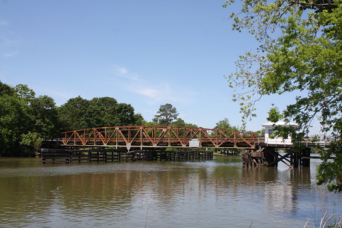
Elevation of Hawkins St, Franklin, LA, USA
Location: United States > Louisiana > St. Mary Parish > > Franklin >
Longitude: -91.506390
Latitude: 29.8043256
Elevation: -10000m / -32808feet
Barometric Pressure: 295KPa
Related Photos:
Topographic Map of Hawkins St, Franklin, LA, USA
Find elevation by address:

Places near Hawkins St, Franklin, LA, USA:
Main St, Franklin, LA, USA
Franklin
309 Jackson St
Walmart
Super 1 Foods
Firmin Street
Franklin Foundation Hospital
2406 Chatsworth Rd
112 Michael Dr
145 Michael Dr
Irish Bend Rd, Franklin, LA, USA
4891 La-87
Baldwin
Irish Bend Rd, Franklin, LA, USA
312 Jasmine Way
138 Picket St
Charenton
St Mary Parish Jail
Centerville
Par Rd, Franklin, LA, USA
Recent Searches:
- Elevation of Corso Fratelli Cairoli, 35, Macerata MC, Italy
- Elevation of Tallevast Rd, Sarasota, FL, USA
- Elevation of 4th St E, Sonoma, CA, USA
- Elevation of Black Hollow Rd, Pennsdale, PA, USA
- Elevation of Oakland Ave, Williamsport, PA, USA
- Elevation of Pedrógão Grande, Portugal
- Elevation of Klee Dr, Martinsburg, WV, USA
- Elevation of Via Roma, Pieranica CR, Italy
- Elevation of Tavkvetili Mountain, Georgia
- Elevation of Hartfords Bluff Cir, Mt Pleasant, SC, USA


