Elevation map of St. Mary Parish, St Mary Parish, LA, USA
Location: United States > Louisiana >
Longitude: -91.443469
Latitude: 29.502976
Elevation: -2m / -7feet
Barometric Pressure: 101KPa
Elevation Map:
Satellite Map:
Related Photos:
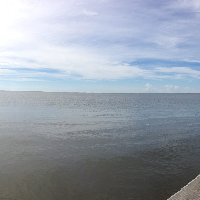
Checking out the Gulf of Mexico. Only seen it previously from Cancun.

Day Break
Topographic Map of St. Mary Parish, St Mary Parish, LA, USA
Find elevation by address:

Places in St. Mary Parish, St Mary Parish, LA, USA:
6, LA, USA
2, LA, USA
1, LA, USA
4, LA, USA
3, LA, USA
5, LA, USA
Par Rd, Franklin, LA, USA
8, LA, USA
Places near St. Mary Parish, St Mary Parish, LA, USA:
Recent Searches:
- Elevation of Corso Fratelli Cairoli, 35, Macerata MC, Italy
- Elevation of Tallevast Rd, Sarasota, FL, USA
- Elevation of 4th St E, Sonoma, CA, USA
- Elevation of Black Hollow Rd, Pennsdale, PA, USA
- Elevation of Oakland Ave, Williamsport, PA, USA
- Elevation of Pedrógão Grande, Portugal
- Elevation of Klee Dr, Martinsburg, WV, USA
- Elevation of Via Roma, Pieranica CR, Italy
- Elevation of Tavkvetili Mountain, Georgia
- Elevation of Hartfords Bluff Cir, Mt Pleasant, SC, USA