Elevation of 4, LA, USA
Location: United States > Louisiana > St. Mary Parish >
Longitude: -91.443469
Latitude: 29.502976
Elevation: -2m / -7feet
Barometric Pressure: 101KPa
Elevation Map:
Satellite Map:
Related Photos:
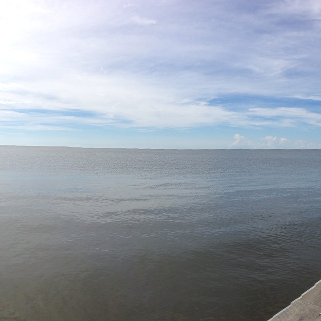
Checking out the Gulf of Mexico. Only seen it previously from Cancun.

Day Break
Topographic Map of 4, LA, USA
Find elevation by address:

Places in 4, LA, USA:
Places near 4, LA, USA:
Recent Searches:
- Elevation of Corso Fratelli Cairoli, 35, Macerata MC, Italy
- Elevation of Tallevast Rd, Sarasota, FL, USA
- Elevation of 4th St E, Sonoma, CA, USA
- Elevation of Black Hollow Rd, Pennsdale, PA, USA
- Elevation of Oakland Ave, Williamsport, PA, USA
- Elevation of Pedrógão Grande, Portugal
- Elevation of Klee Dr, Martinsburg, WV, USA
- Elevation of Via Roma, Pieranica CR, Italy
- Elevation of Tavkvetili Mountain, Georgia
- Elevation of Hartfords Bluff Cir, Mt Pleasant, SC, USA