Elevation of Charenton, LA, USA
Location: United States > Louisiana > St. Mary Parish > >
Longitude: -91.525112
Latitude: 29.8815936
Elevation: 4m / 13feet
Barometric Pressure: 101KPa
Elevation Map:
Satellite Map:
Related Photos:

Ha...blue skies.

Bayou Teche at Jeanerette Museum 02
Bayou Teche at Jeanerette Museum 01
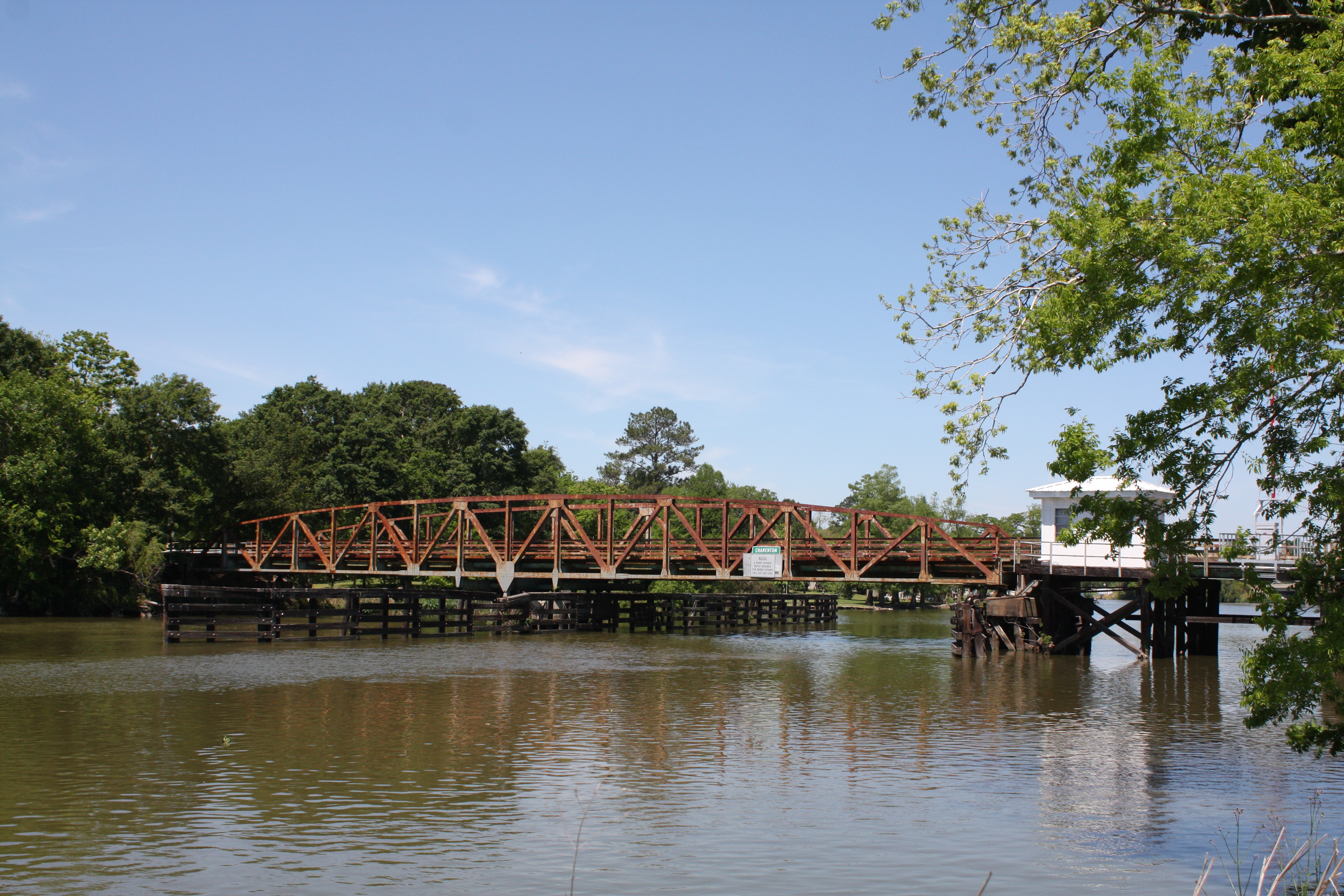
LA 324 Bayou Teche Swing Bridge
On Amtrak train 1 the Sunset Limited
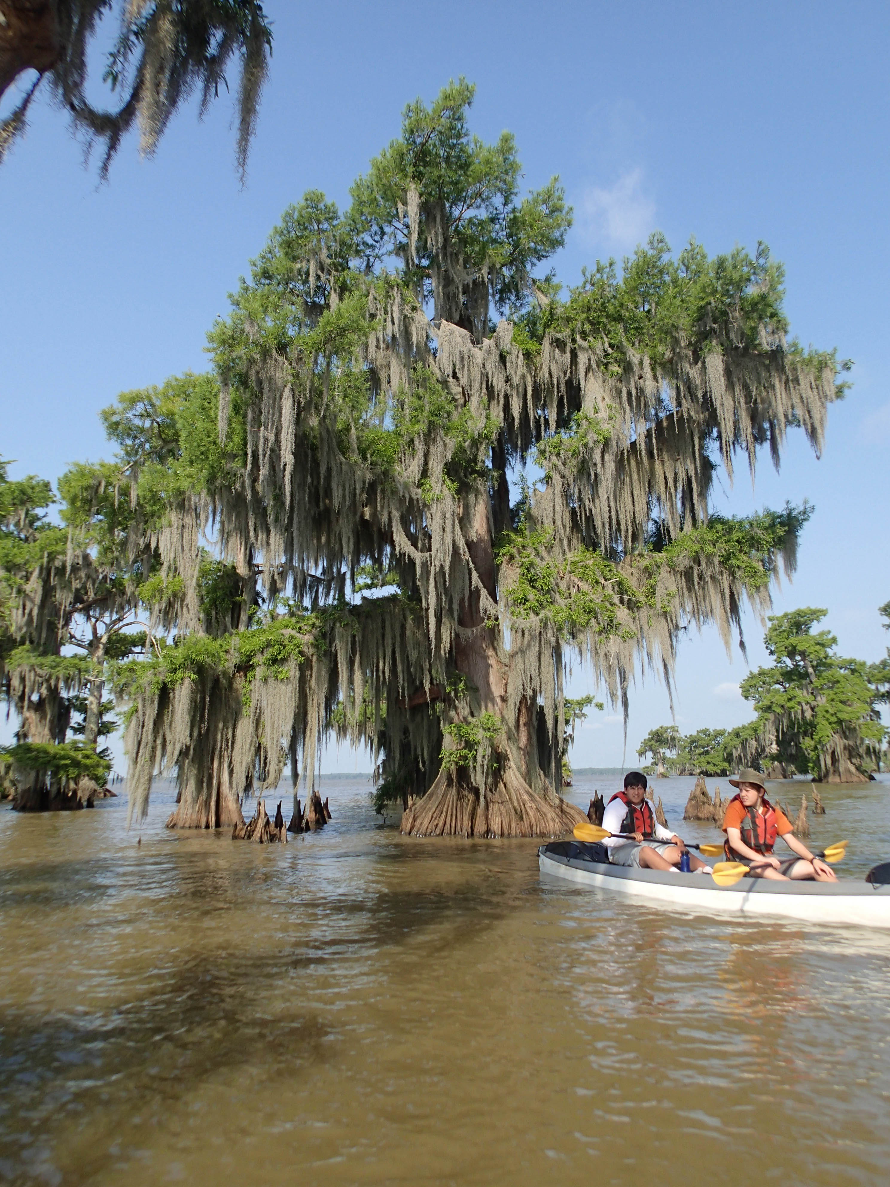
20130614SwampBase-297.jpg
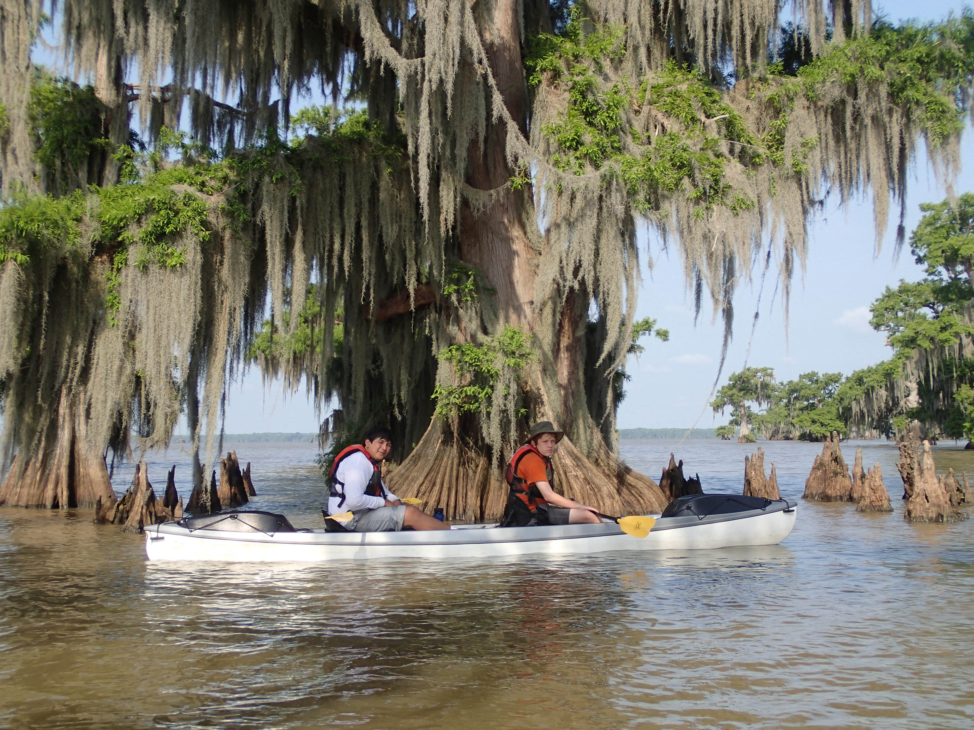
20130614SwampBase-296.jpg
20130614SwampBase-298.jpg
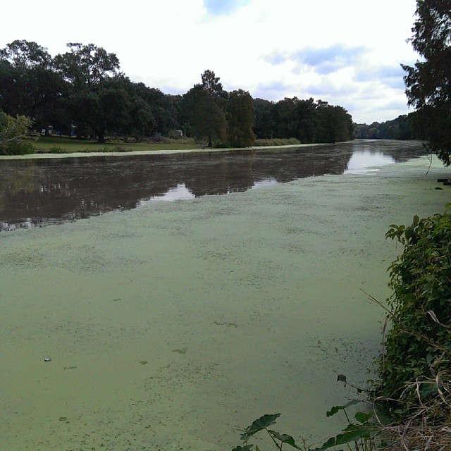
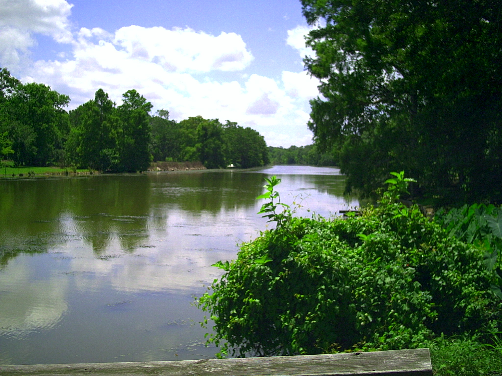
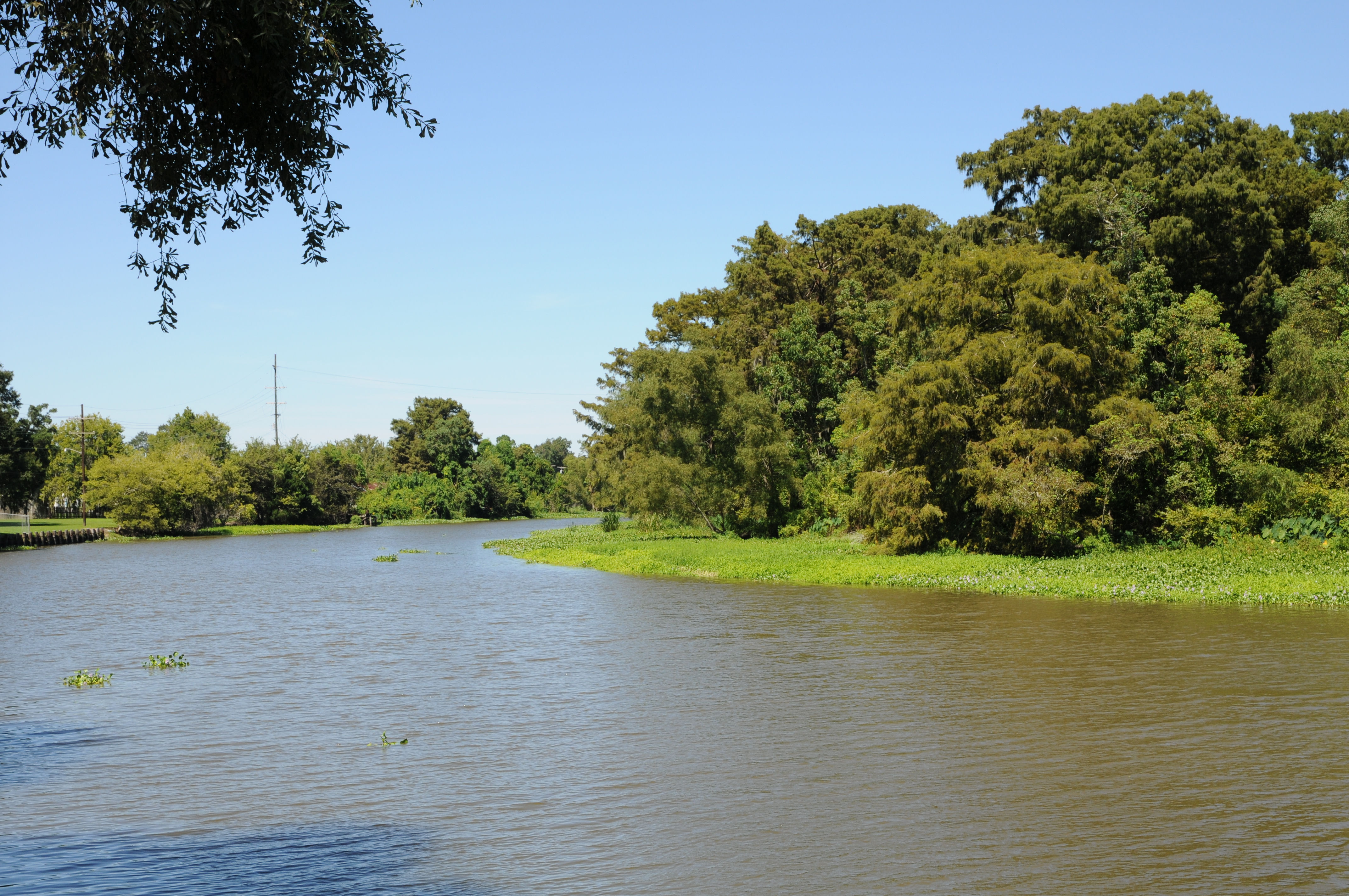
Bayou is pretty wide here.
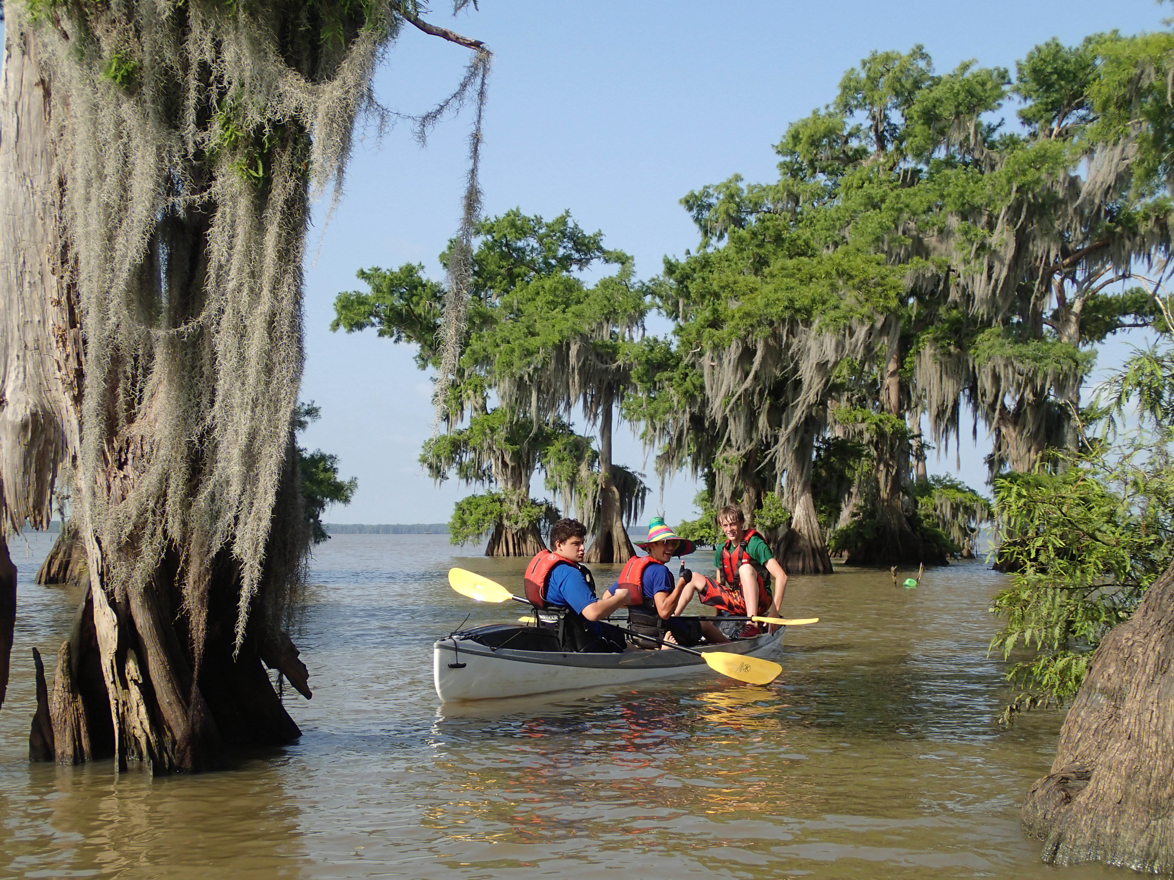
20130614SwampBase-302.jpg
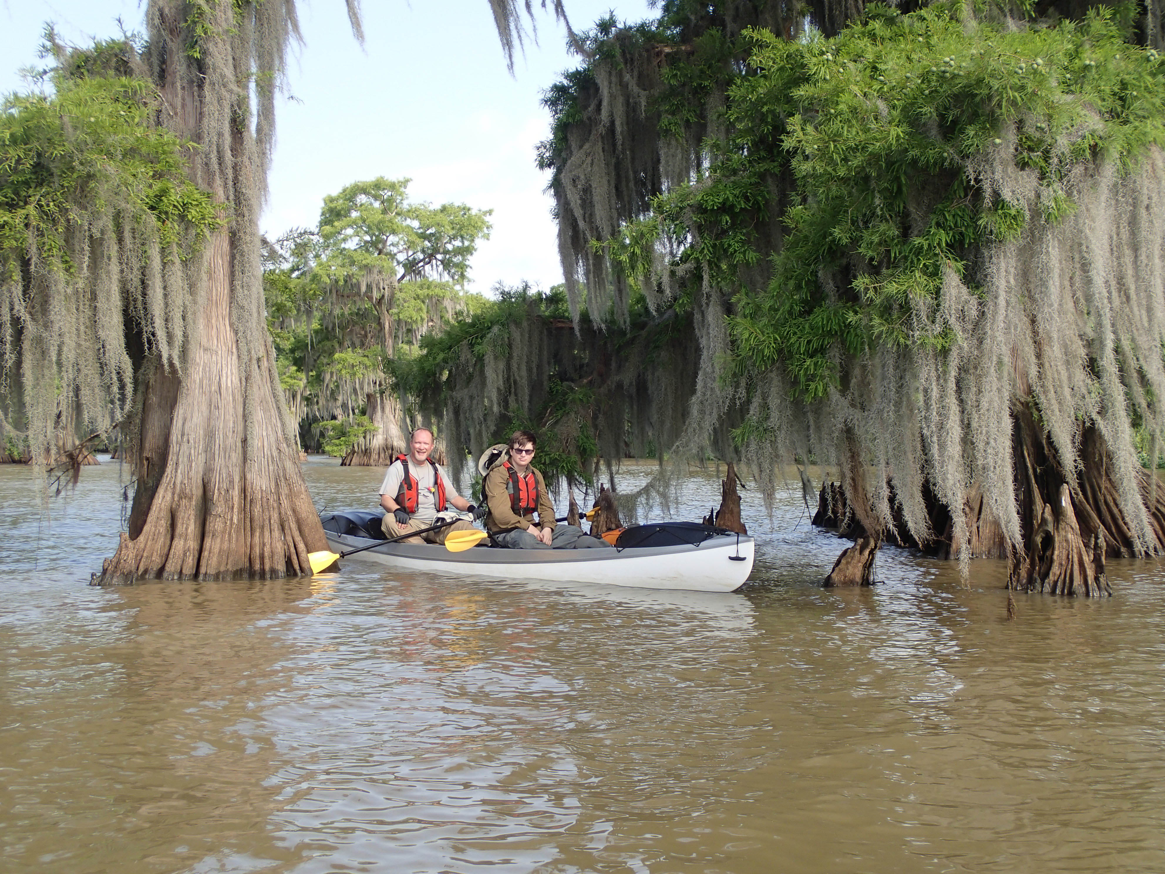
USA 2015 - Franklin - Louisiana 465
Topographic Map of Charenton, LA, USA
Find elevation by address:

Places near Charenton, LA, USA:
138 Picket St
312 Jasmine Way
Baldwin
4891 La-87
Irish Bend Rd, Franklin, LA, USA
Firmin Street
Walmart
Super 1 Foods
407 Hawkins St
Franklin Foundation Hospital
Main St, Franklin, LA, USA
Irish Bend Rd, Franklin, LA, USA
Franklin
309 Jackson St
2406 Chatsworth Rd
112 Michael Dr
145 Michael Dr
1, LA, USA
Par Rd, Franklin, LA, USA
Centerville
Recent Searches:
- Elevation of Corso Fratelli Cairoli, 35, Macerata MC, Italy
- Elevation of Tallevast Rd, Sarasota, FL, USA
- Elevation of 4th St E, Sonoma, CA, USA
- Elevation of Black Hollow Rd, Pennsdale, PA, USA
- Elevation of Oakland Ave, Williamsport, PA, USA
- Elevation of Pedrógão Grande, Portugal
- Elevation of Klee Dr, Martinsburg, WV, USA
- Elevation of Via Roma, Pieranica CR, Italy
- Elevation of Tavkvetili Mountain, Georgia
- Elevation of Hartfords Bluff Cir, Mt Pleasant, SC, USA