Elevation of Harrells, NC, USA
Location: United States > North Carolina > Sampson County > Franklin >
Longitude: -78.201105
Latitude: 34.7276701
Elevation: 26m / 85feet
Barometric Pressure: 101KPa
Elevation Map:
Satellite Map:
Related Photos:
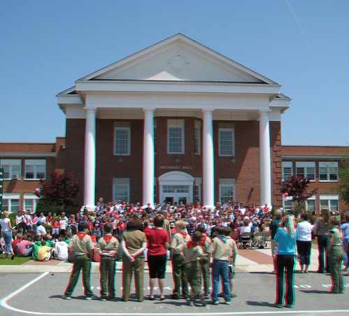
scouts

That Old House
Delway Spire
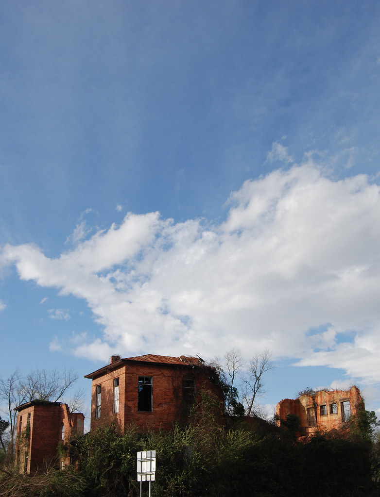
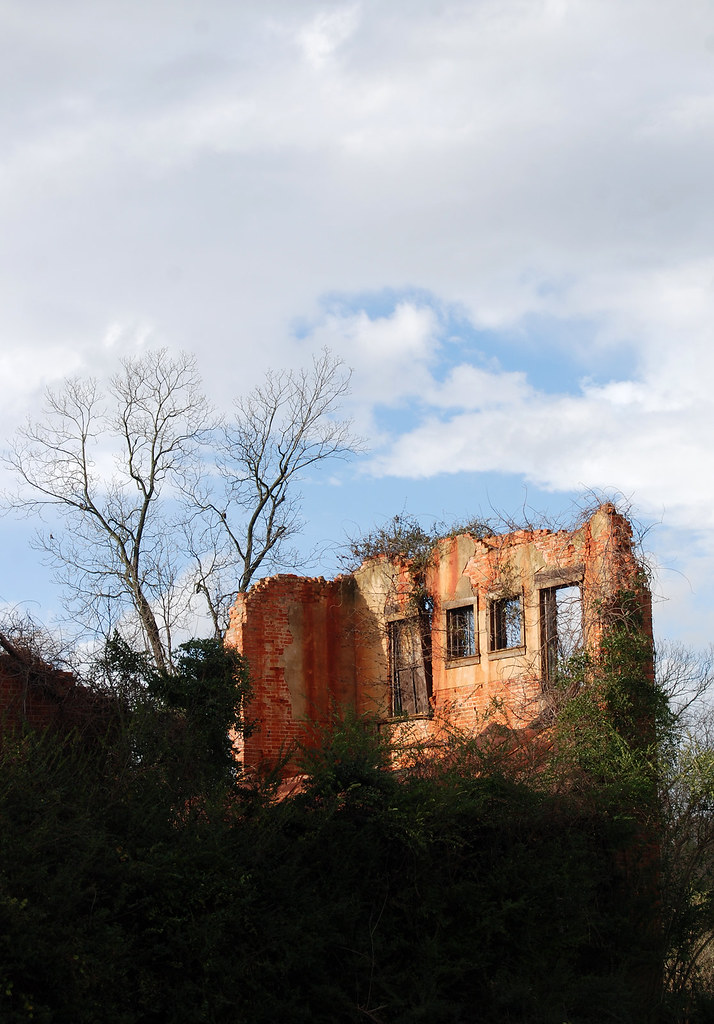
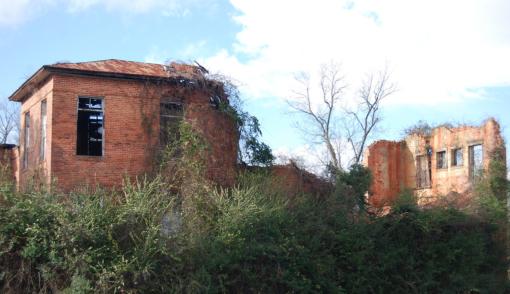
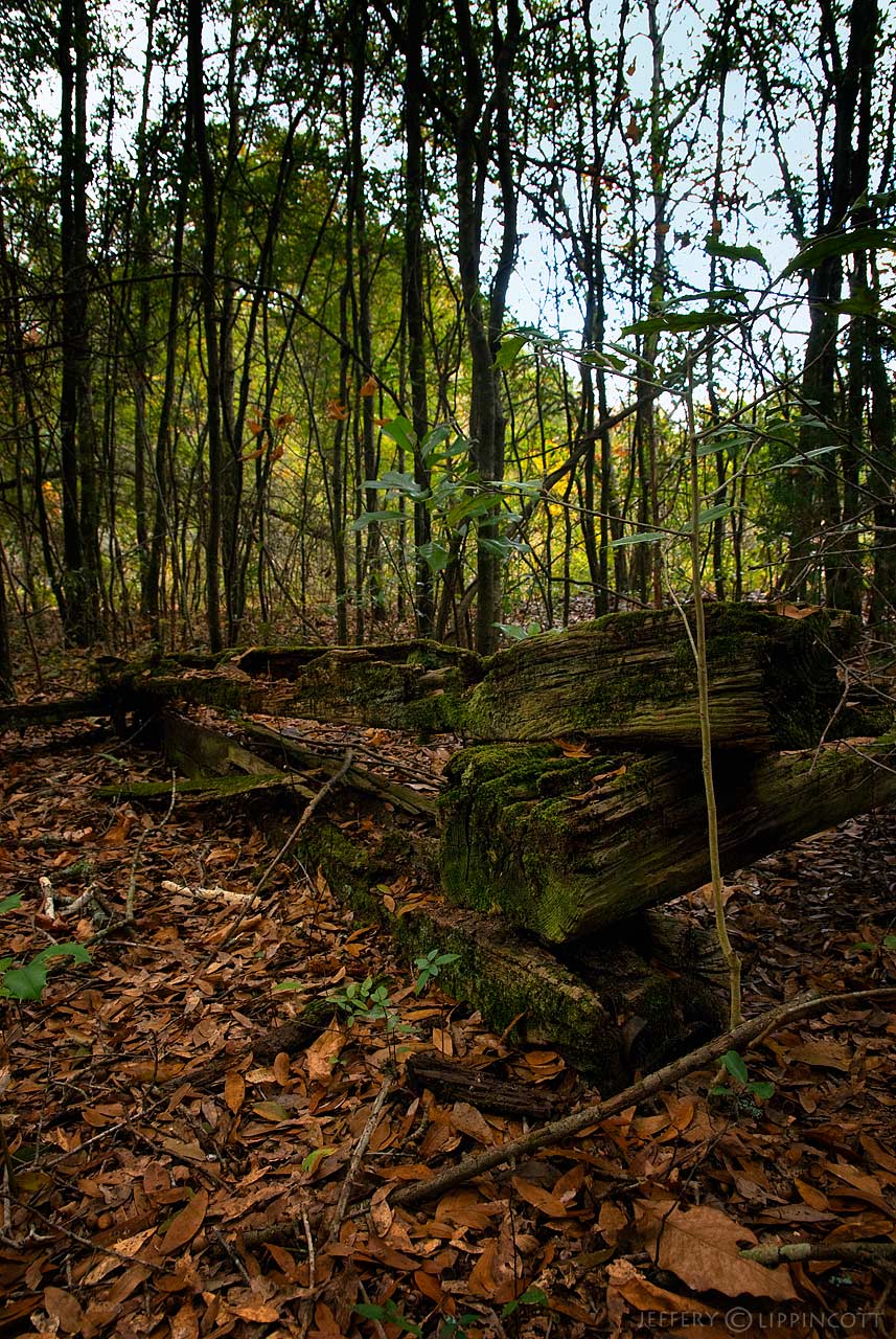
All That Remains
Through a Window, Darkly
OId Crosstie Fence
On Our Way
Dixon's Grocery & Grill

31 going on 32 #075
Topographic Map of Harrells, NC, USA
Find elevation by address:

Places in Harrells, NC, USA:
Places near Harrells, NC, USA:
94 Brooklyn Ave
111 Brooklyn Ave
Franklin
Black River Lane
Delway
1522 Black River Ln
1522 Black River Ln
1522 Black River Ln
Rockfish
Harrells Hwy, Garland, NC, USA
North Carolina 903 & Moores Bridge Road
1732 Old Camp Rd
Taylors Bridge
River Rd, Magnolia, NC, USA
135 Barnhill Rd
Tomahawk Hwy, Harrells, NC, USA
Columbia
Wards Rd, Rose Hill, NC, USA
2041 Bay Rd
Wallace Hwy, Wallace, NC, USA
Recent Searches:
- Elevation of Corso Fratelli Cairoli, 35, Macerata MC, Italy
- Elevation of Tallevast Rd, Sarasota, FL, USA
- Elevation of 4th St E, Sonoma, CA, USA
- Elevation of Black Hollow Rd, Pennsdale, PA, USA
- Elevation of Oakland Ave, Williamsport, PA, USA
- Elevation of Pedrógão Grande, Portugal
- Elevation of Klee Dr, Martinsburg, WV, USA
- Elevation of Via Roma, Pieranica CR, Italy
- Elevation of Tavkvetili Mountain, Georgia
- Elevation of Hartfords Bluff Cir, Mt Pleasant, SC, USA