Elevation of Tomahawk Hwy, Harrells, NC, USA
Location: United States > North Carolina > Sampson County > Franklin > Harrells >
Longitude: -78.327622
Latitude: 34.710533
Elevation: 30m / 98feet
Barometric Pressure: 101KPa
Elevation Map:
Satellite Map:
Related Photos:
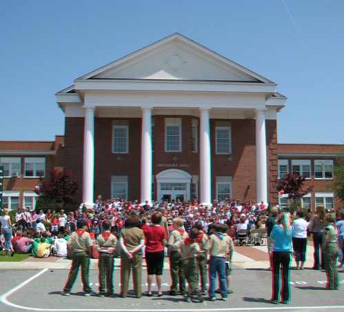
scouts

That Old House
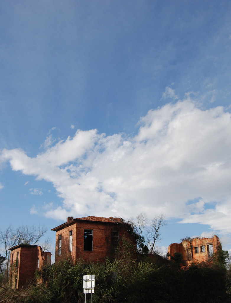
Delway Spire
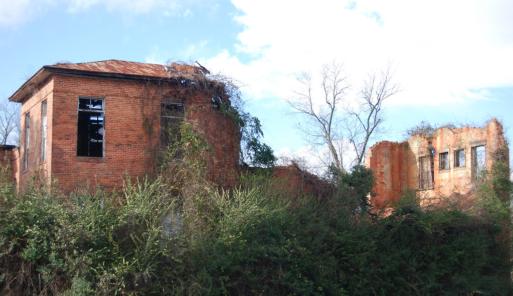
All That Remains
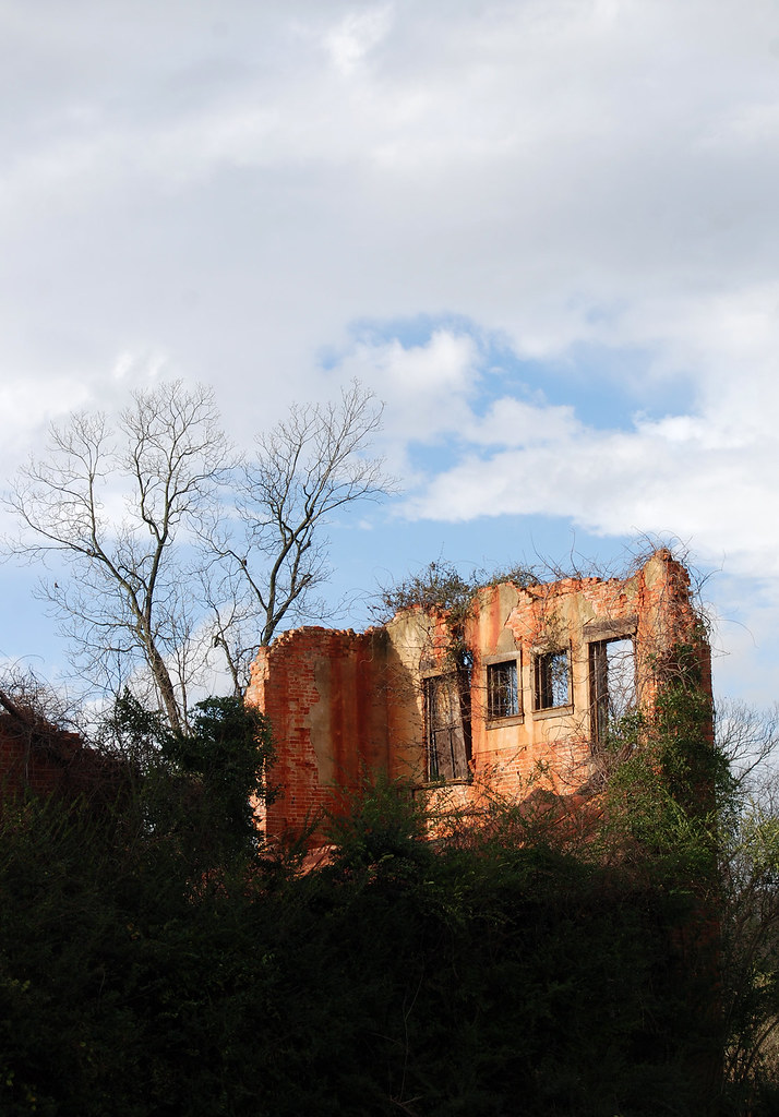
Through a Window, Darkly
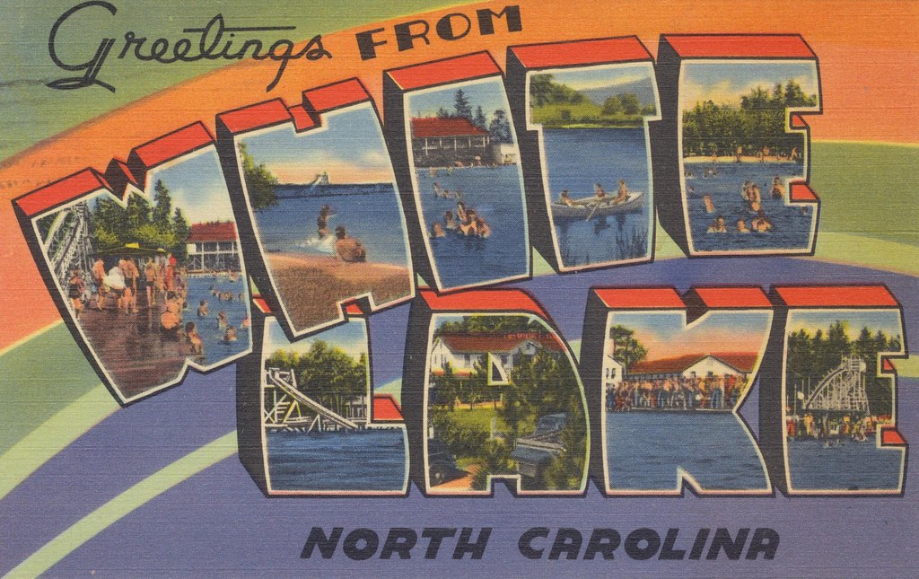
Greetings From White Lake, North Carolina
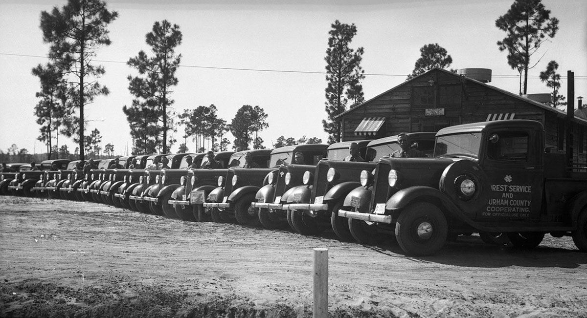
N.C. Forest Service trucks.

OId Crosstie Fence
Topographic Map of Tomahawk Hwy, Harrells, NC, USA
Find elevation by address:

Places near Tomahawk Hwy, Harrells, NC, USA:
Nc Hwy E, Harrells, NC, USA
1522 Black River Ln
1522 Black River Ln
1522 Black River Ln
Black River Lane
Harrells Hwy, Garland, NC, USA
Franklin
Old Whitehall Rd, Elizabethtown, NC, USA
468 Bay Tree Dr
North Carolina 903 & Moores Bridge Road
Garland
Us Hwy N, Elizabethtown, NC, USA
135 Barnhill Rd
Ingold
940 Moores Bridge Rd
940 State Rd 1130
936 State Rd 1130
903 State Rd 1130
903 State Rd 1130
903 Moores Bridge Rd
Recent Searches:
- Elevation of Corso Fratelli Cairoli, 35, Macerata MC, Italy
- Elevation of Tallevast Rd, Sarasota, FL, USA
- Elevation of 4th St E, Sonoma, CA, USA
- Elevation of Black Hollow Rd, Pennsdale, PA, USA
- Elevation of Oakland Ave, Williamsport, PA, USA
- Elevation of Pedrógão Grande, Portugal
- Elevation of Klee Dr, Martinsburg, WV, USA
- Elevation of Via Roma, Pieranica CR, Italy
- Elevation of Tavkvetili Mountain, Georgia
- Elevation of Hartfords Bluff Cir, Mt Pleasant, SC, USA