Elevation of Old Camp Rd, Rose Hill, NC, USA
Location: United States > North Carolina > Duplin County > Magnolia >
Longitude: -78.161208
Latitude: 34.8329999
Elevation: 31m / 102feet
Barometric Pressure: 101KPa
Elevation Map:
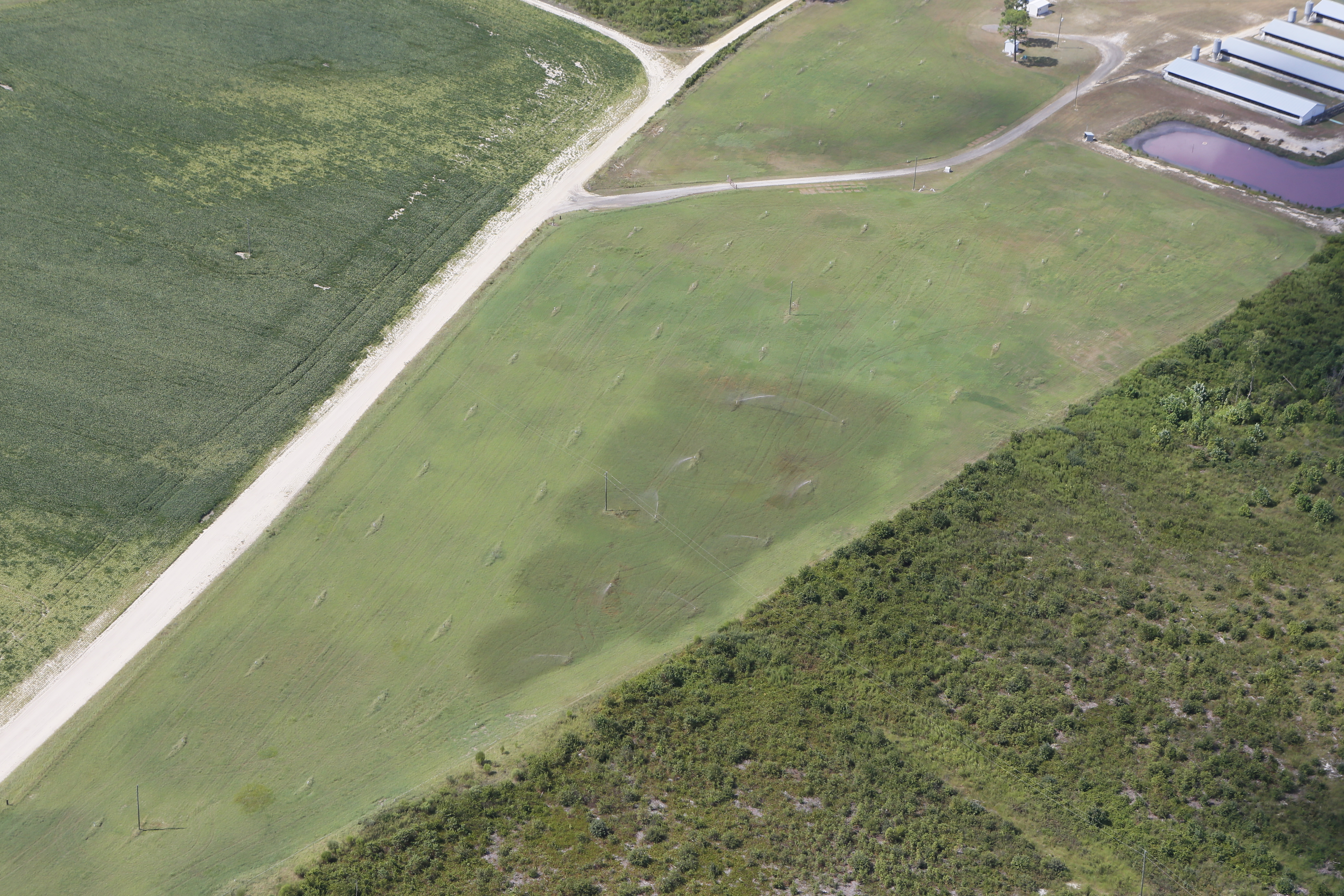
Satellite Map:
Related Photos:
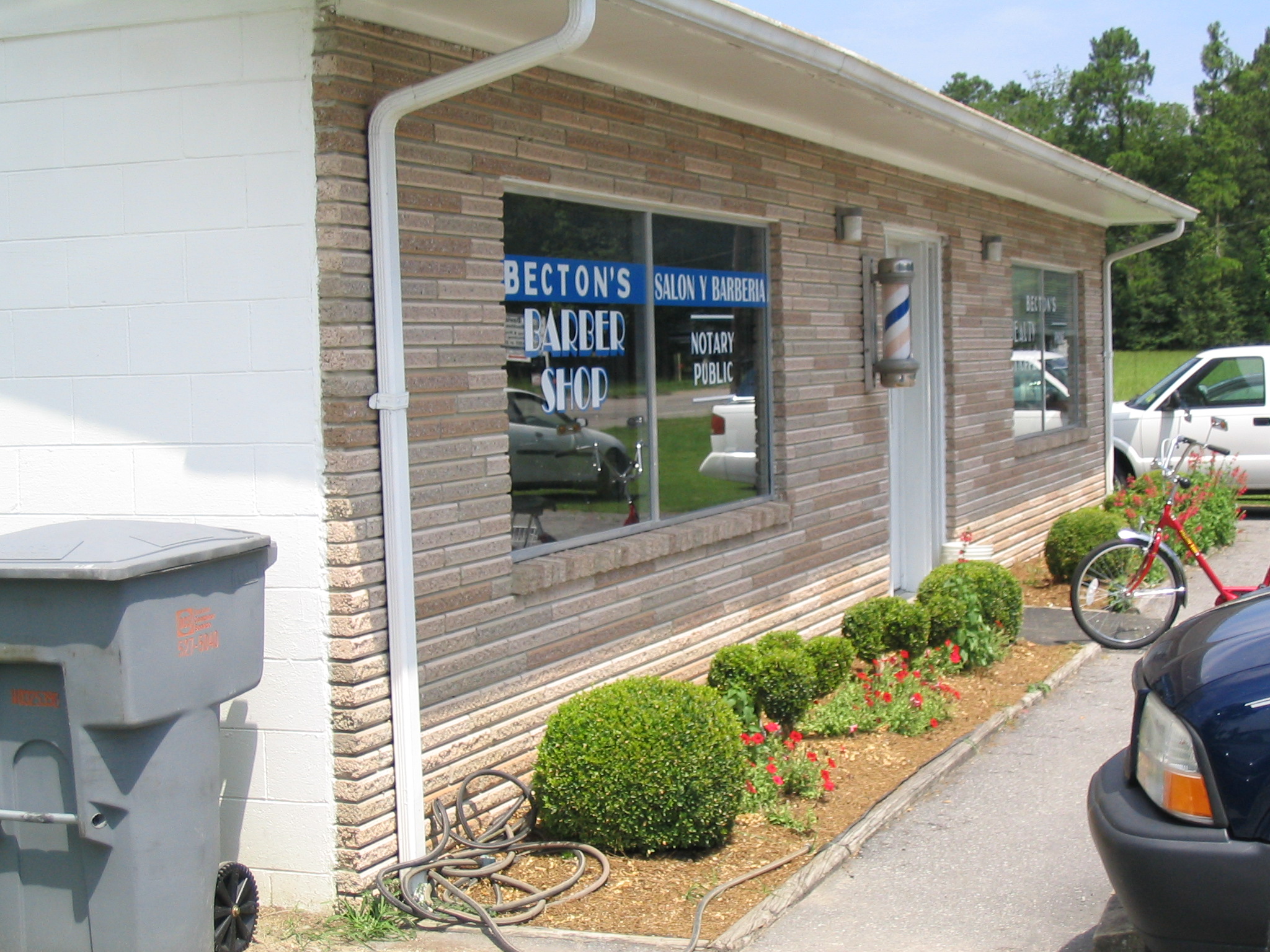
NC Becton's Barber Shop Magnolia
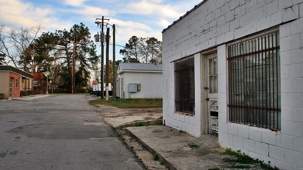
Rose Hill, NC, film location for Iron Man 3
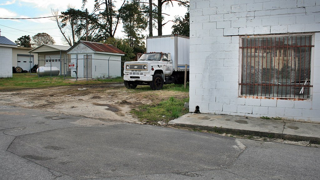
Rose Hill, NC, film location for Iron Man 3
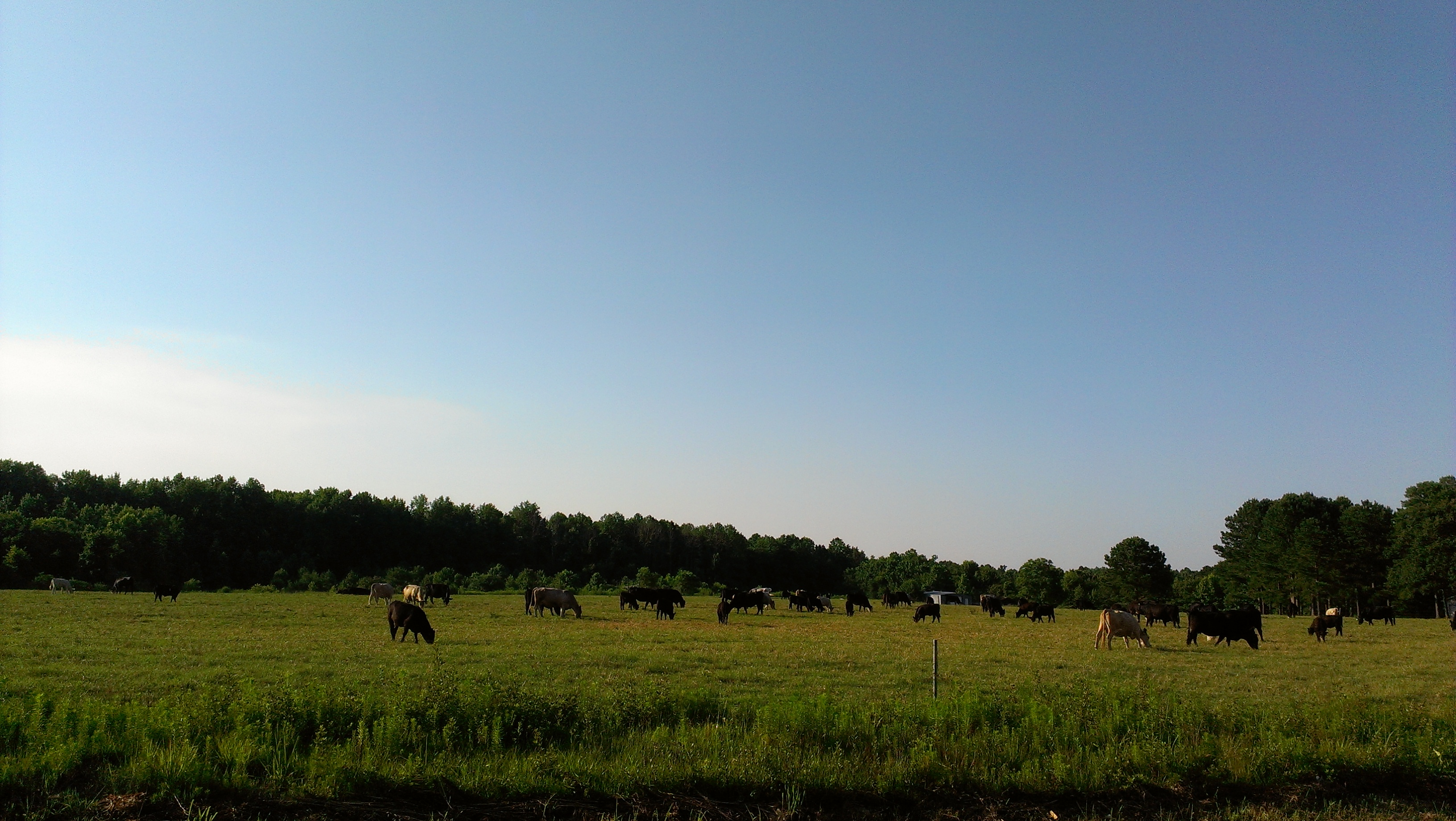
Here's the Beef!
_67P8718 (1)
Topographic Map of Old Camp Rd, Rose Hill, NC, USA
Find elevation by address:

Places near Old Camp Rd, Rose Hill, NC, USA:
Wards Rd, Rose Hill, NC, USA
Taylors Bridge
River Rd, Magnolia, NC, USA
Magnolia
Nash Johnsons Pond Road
Nash Johnsons Pond Road
305 N Academy St
Magnolia
US-, Warsaw, NC, USA
940 State Rd 1130
936 State Rd 1130
940 Moores Bridge Rd
903 Moores Bridge Rd
903 State Rd 1130
903 State Rd 1130
350 Moores Bridge Rd
4674 Rowan Rd
3465 Edmond Matthis Rd
3480 Edmond Matthis Rd
Lisbon
Recent Searches:
- Elevation of Corso Fratelli Cairoli, 35, Macerata MC, Italy
- Elevation of Tallevast Rd, Sarasota, FL, USA
- Elevation of 4th St E, Sonoma, CA, USA
- Elevation of Black Hollow Rd, Pennsdale, PA, USA
- Elevation of Oakland Ave, Williamsport, PA, USA
- Elevation of Pedrógão Grande, Portugal
- Elevation of Klee Dr, Martinsburg, WV, USA
- Elevation of Via Roma, Pieranica CR, Italy
- Elevation of Tavkvetili Mountain, Georgia
- Elevation of Hartfords Bluff Cir, Mt Pleasant, SC, USA