Elevation of Harbin Springs Rd, Middletown, CA, USA
Location: United States > California > Lake County > Middletown >
Longitude: -122.6526461
Latitude: 38.78518
Elevation: 467m / 1532feet
Barometric Pressure: 0KPa
Related Photos:

Misty Moon
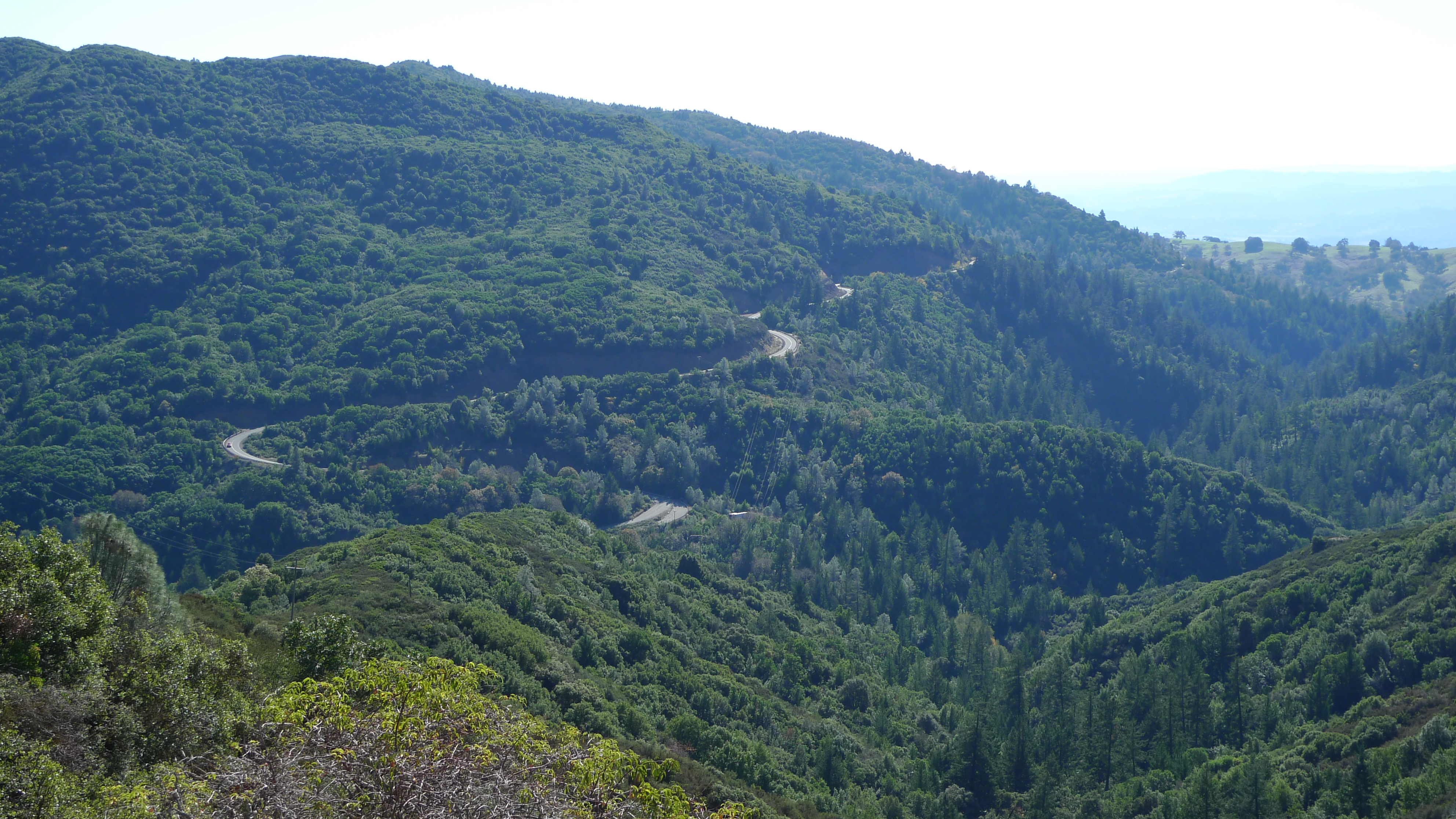
Geyser Road

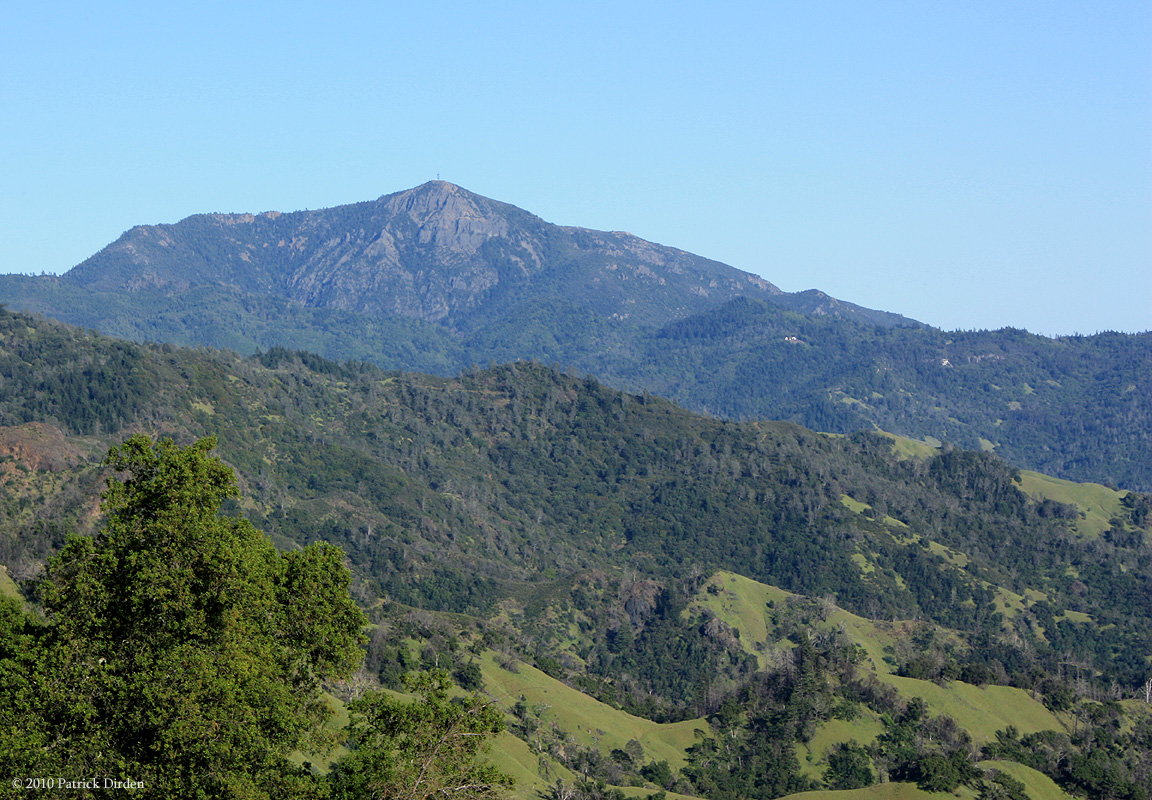
dome view
Steep Slopes
What They're Up Against
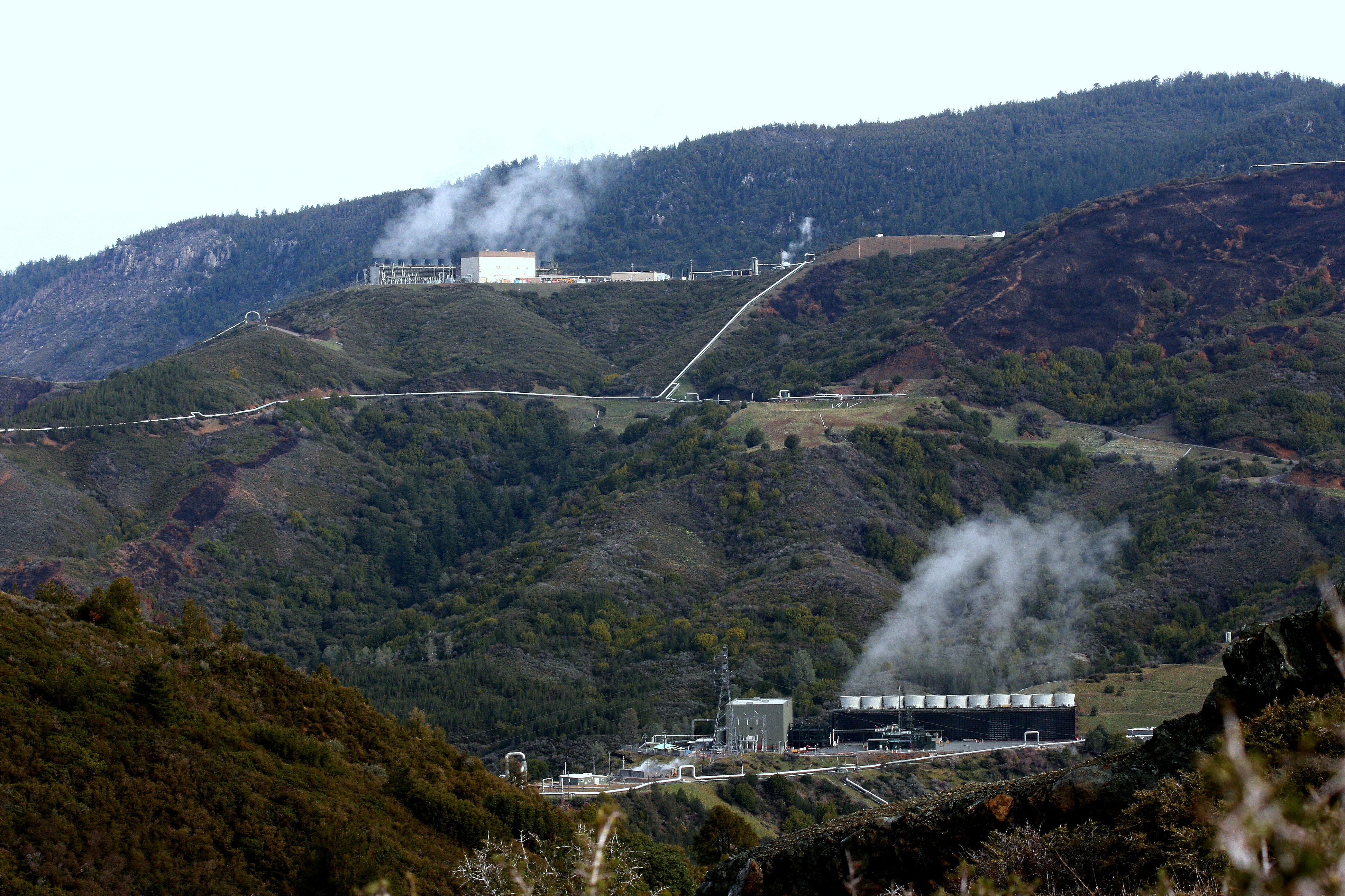
The Geysers steam field
The Drop

The Drop
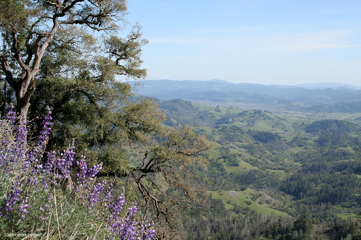
View From Pine Flat
The Rage at Cal Pine

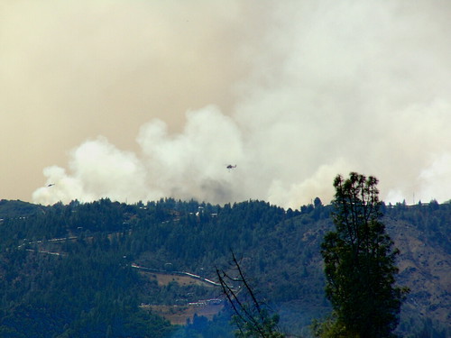
Copter on Patrol Surrounded by the Odds

Marsh in late afternoon light

Marsh in late afternoon light
Looking West near the peak

10 shot pano of fire road..
Superb tall trees!

Superb tall trees..
Approx. 270-degree view from the peak of Mt. St. Helena, CA

Mountain flowers..
180 degrees from top..

On the edge!!
Mt. St. Helena from Geyers Peak. #geyersroad #mountsainthelena #mountains #geyserspeak #healdsburg #alexandervalley

Hiking in Cobb. California (United States)

_9110047.NEF

Artemisiospiza belli belli Bell's Sparrow

_9110049.NEF

_9110056.NEF
Broad Shoulders of Mt St Helena

Cobb Mountain Sunset

Buckeye, Pine Flat Road, Sonoma Co, April 1998

Buckeye, Pine Flat Road, Sonoma CO, Early Spring, 1998

Day 1 > up. Taking time to look up today. #marchphotoaday #ig challenge by @fatmumslim

photo (1)

Terraced Vines

Hidden Valley

earlier today from the summit of Mt. St. Helena

Buckeye, Pine Flat Road, Sonoma Co, Autumn, 1997

Last Light, Knights Valley
Topographic Map of Harbin Springs Rd, Middletown, CA, USA
Find elevation by address:

Places near Harbin Springs Rd, Middletown, CA, USA:
21271 Hwy 175
Middletown
15975 Wardlaw St
15336 Western Mine Rd
16982 Hofacker Ln
16982 Hofacker Ln
18201 Spyglass Rd
Spyglass Road
16226 Firethorne Rd
Dr. Corey M Warner Md
18766 Fernwood Rd
Hidden Valley Lake
Meadow View Dr, Hidden Valley Lake, CA, USA
Neasham Insurance Agency
19016 N Shore Dr
18883 Deer Hill Rd
18790 Oak Grove Rd
Eagle Rock Road
18721 Fernwood Rd
17270 Greenridge Rd
Recent Searches:
- Elevation map of Litang County, Sichuan, China
- Elevation map of Madoi County, Qinghai, China
- Elevation of 3314, Ohio State Route 114, Payne, Paulding County, Ohio, 45880, USA
- Elevation of Sarahills Drive, Saratoga, Santa Clara County, California, 95070, USA
- Elevation of Town of Bombay, Franklin County, New York, USA
- Elevation of 9, Convent Lane, Center Moriches, Suffolk County, New York, 11934, USA
- Elevation of Saint Angelas Convent, 9, Convent Lane, Center Moriches, Suffolk County, New York, 11934, USA
- Elevation of 131st Street Southwest, Mukilteo, Snohomish County, Washington, 98275, USA
- Elevation of 304, Harrison Road, Naples, Cumberland County, Maine, 04055, USA
- Elevation of 2362, Timber Ridge Road, Harrisburg, Cabarrus County, North Carolina, 28075, USA
- Elevation of Ridge Road, Marshalltown, Marshall County, Iowa, 50158, USA
- Elevation of 2459, Misty Shadows Drive, Pigeon Forge, Sevier County, Tennessee, 37862, USA
- Elevation of 8043, Brightwater Way, Spring Hill, Williamson County, Tennessee, 37179, USA
- Elevation of Starkweather Road, San Luis, Costilla County, Colorado, 81152, USA
- Elevation of 5277, Woodside Drive, Baton Rouge, East Baton Rouge Parish, Louisiana, 70808, USA
- Elevation of 1139, Curtin Street, Shepherd Park Plaza, Houston, Harris County, Texas, 77018, USA
- Elevation of 136, Sellers Lane, Repton, Monroe County, Alabama, 36475, USA
- Elevation of 12914, Elmington Drive, Lakewood Forest, Houston, Harris County, Texas, 77429, USA
- Elevation of 417, Camelot Drive, Statesville, Iredell County, North Carolina, 28625, USA
- Elevation of 5792, Wildridge Road, Avon, Eagle County, Colorado, 81620, USA