Elevation of Haeju, South Hwanghae, North Korea
Location: North Korea >
Longitude: 125.707923
Latitude: 38.0375021
Elevation: 55m / 180feet
Barometric Pressure: 101KPa
Elevation Map:
Satellite Map:
Related Photos:
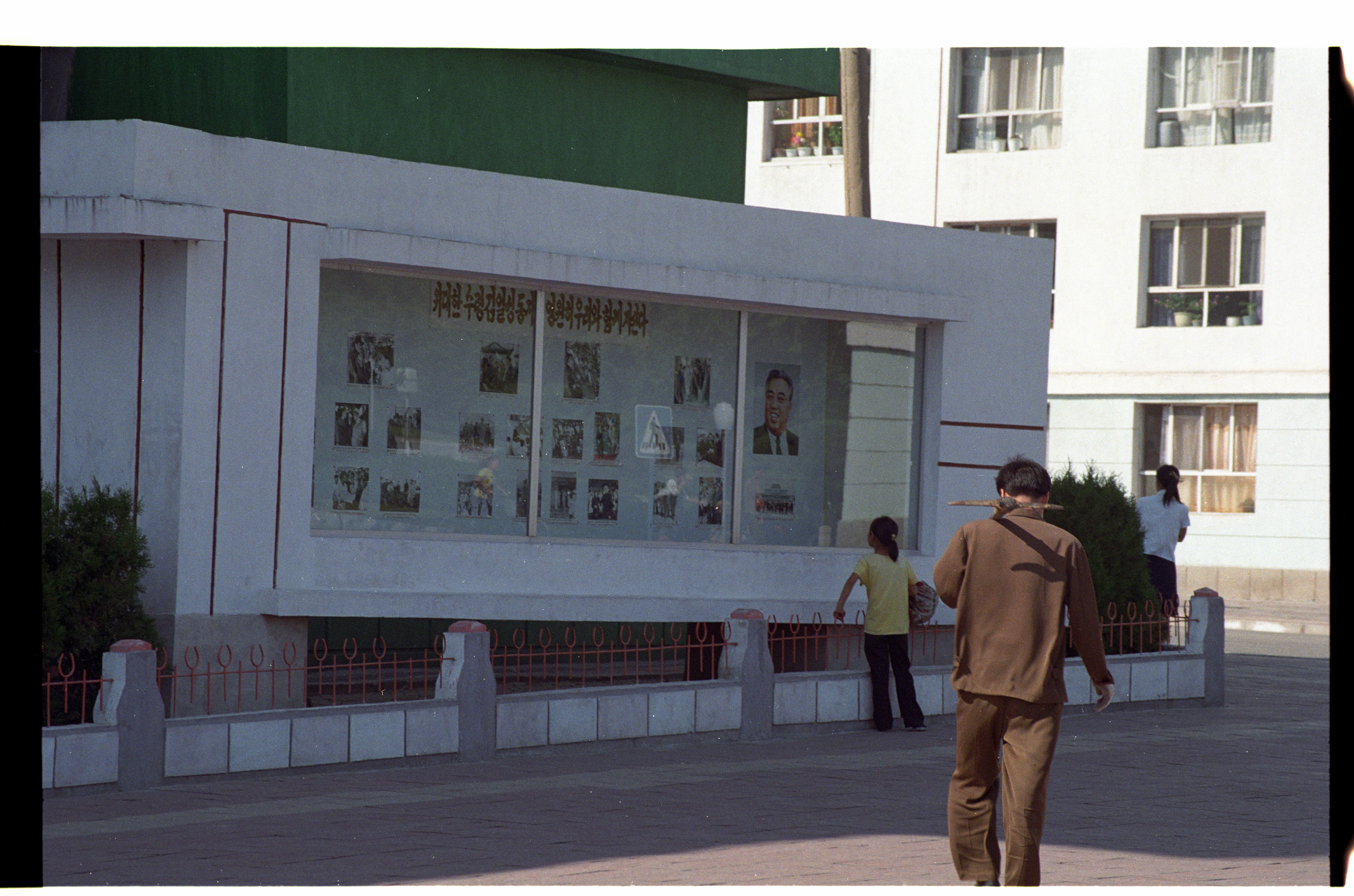
Propaganda Display Haeju North Korea

Haeju North Korea
Topographic Map of Haeju, South Hwanghae, North Korea
Find elevation by address:

Places near Haeju, South Hwanghae, North Korea:
Bongsan Station
Sariwon
Heungsu Station
Sohung
Hwangju
Sinmak
Mulgae Station
Songnim
Ryeohyeon Station
Kyejong-gol
Pyongsan
Taebaeksanseong Station
Hanpo Station
Hukkyo
Kumchon
North Hwanghae
Nampo
Chunghwa
Kaesong Folk Hotel
Nakrang District
Recent Searches:
- Elevation of Corso Fratelli Cairoli, 35, Macerata MC, Italy
- Elevation of Tallevast Rd, Sarasota, FL, USA
- Elevation of 4th St E, Sonoma, CA, USA
- Elevation of Black Hollow Rd, Pennsdale, PA, USA
- Elevation of Oakland Ave, Williamsport, PA, USA
- Elevation of Pedrógão Grande, Portugal
- Elevation of Klee Dr, Martinsburg, WV, USA
- Elevation of Via Roma, Pieranica CR, Italy
- Elevation of Tavkvetili Mountain, Georgia
- Elevation of Hartfords Bluff Cir, Mt Pleasant, SC, USA