Elevation of Heungsu Station, North Hwanghae, North Korea
Location: North Korea > North Hwanghae >
Longitude: 126.025154
Latitude: 38.460375
Elevation: 63m / 207feet
Barometric Pressure: 101KPa
Elevation Map:
Satellite Map:
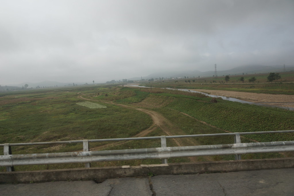
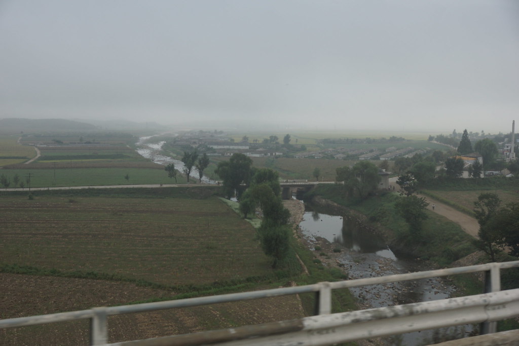
Related Photos:
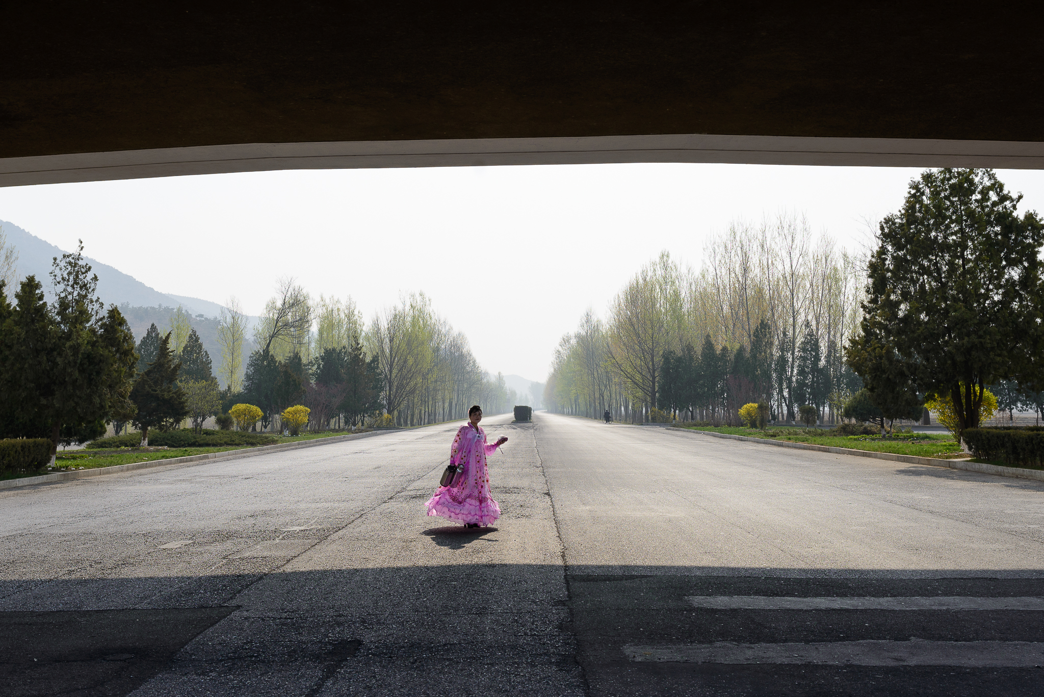
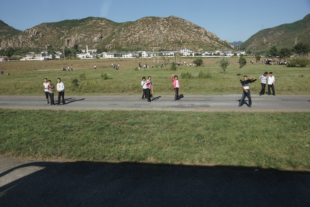
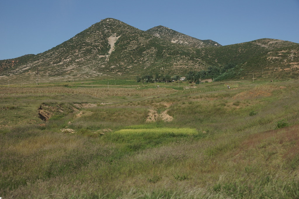
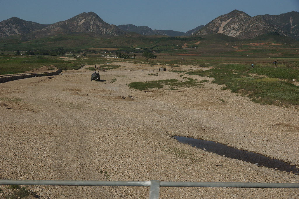
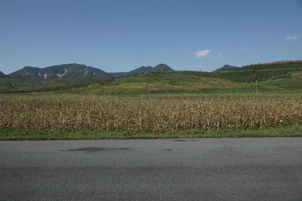
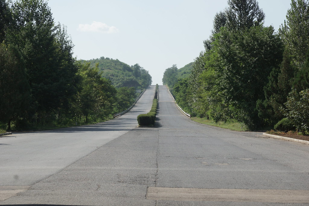
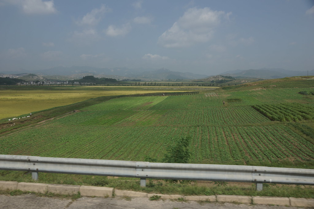
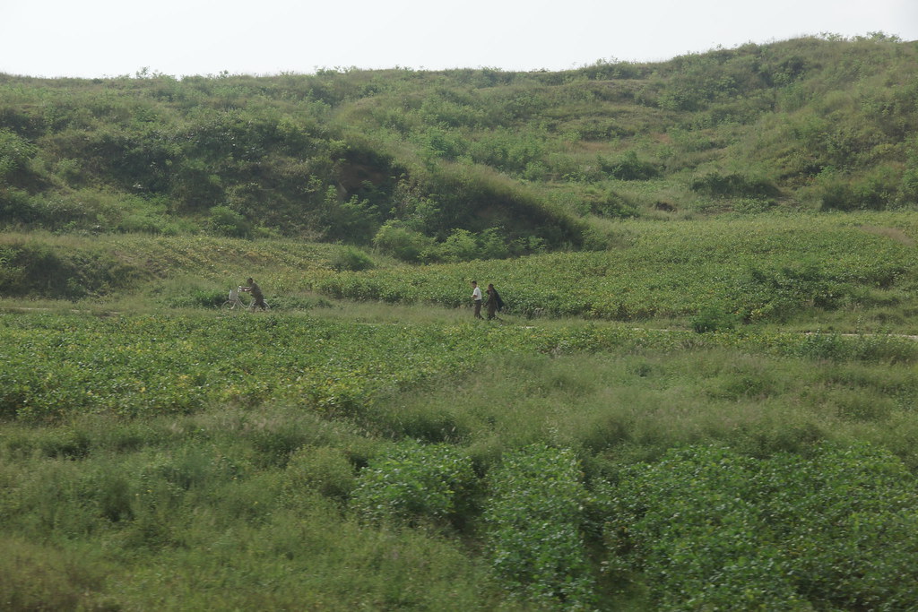
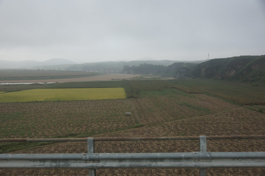
Reunification Highway
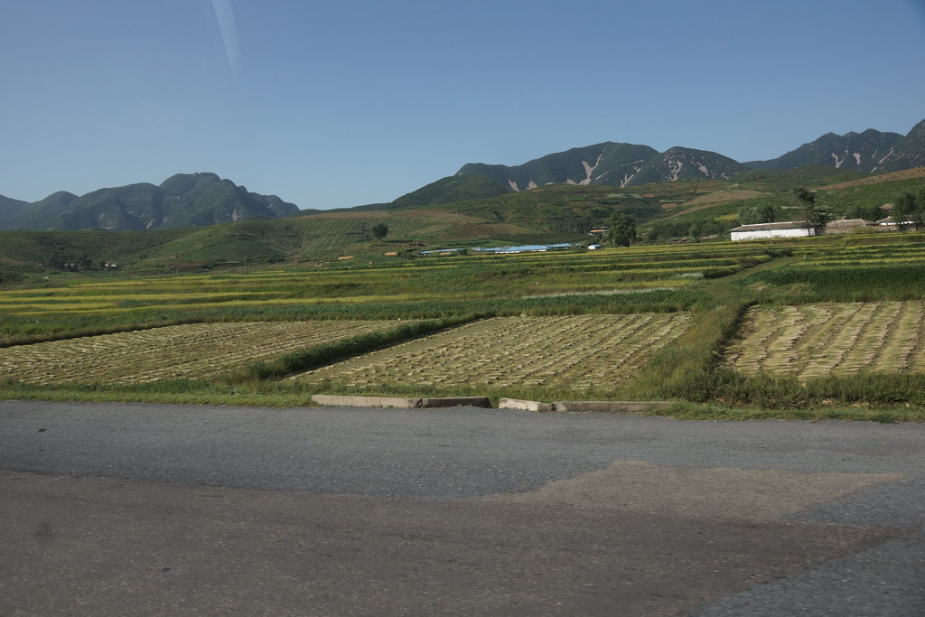
Noord-Korea 136
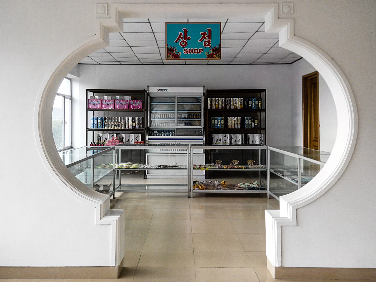
Shop in a highway service area

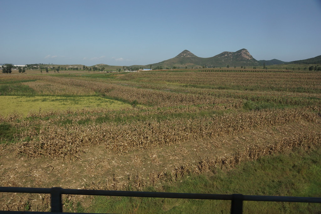
Noord-Korea 141
Noord-Korea 140
Noord-Korea 139
Noord-Korea 138
Noord-Korea 137
Noord-Korea 135

Noord-Korea 134

Noord-Korea 133
Noord-Korea 132

Noord-Korea 111
Noord-Korea 110

Noord-Korea 109
Noord-Korea 084

Noord-Korea 083

Noord-Korea 082
Noord-Korea 081
Noord-Korea 080
Noord-Korea 079

Noord-Korea 077
Topographic Map of Heungsu Station, North Hwanghae, North Korea
Find elevation by address:

Places near Heungsu Station, North Hwanghae, North Korea:
Sohung
Bongsan Station
Sinmak
Sariwon
Mulgae Station
Hwangju
Pyongsan
Hukkyo
North Hwanghae
Taebaeksanseong Station
Chunghwa
Songnim
Hanpo Station
Haeju
Pyongyang
Kumchon
Nakrang District
Kyejong-gol
Taedonggang District
Ryeohyeon Station
Recent Searches:
- Elevation of Corso Fratelli Cairoli, 35, Macerata MC, Italy
- Elevation of Tallevast Rd, Sarasota, FL, USA
- Elevation of 4th St E, Sonoma, CA, USA
- Elevation of Black Hollow Rd, Pennsdale, PA, USA
- Elevation of Oakland Ave, Williamsport, PA, USA
- Elevation of Pedrógão Grande, Portugal
- Elevation of Klee Dr, Martinsburg, WV, USA
- Elevation of Via Roma, Pieranica CR, Italy
- Elevation of Tavkvetili Mountain, Georgia
- Elevation of Hartfords Bluff Cir, Mt Pleasant, SC, USA