Elevation map of Gyirong, Xigaze, Tibet, China
Location: China > Tibet > Xigaze >
Longitude: 85.297535
Latitude: 28.852394
Elevation: 4100m / 13451feet
Barometric Pressure: 61KPa
Elevation Map:
Satellite Map:
Related Photos:

Paiku Co
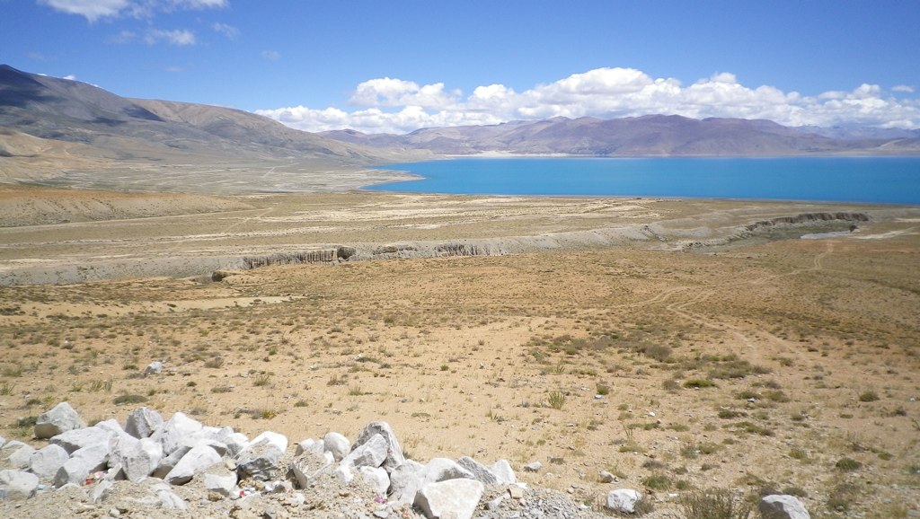
Paiku Co
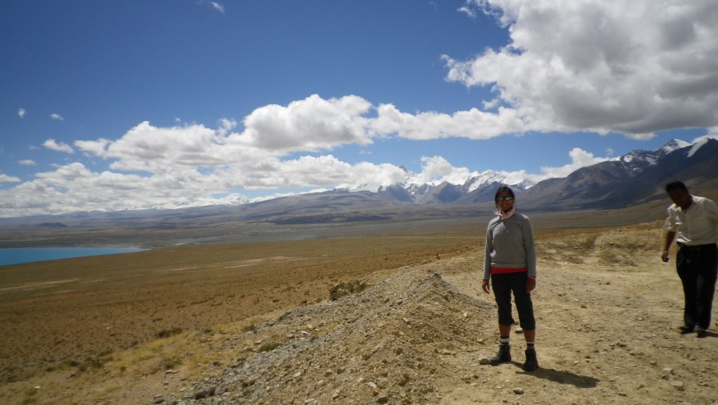
Paiku Co
Topographic Map of Gyirong, Xigaze, Tibet, China
Find elevation by address:

Places in Gyirong, Xigaze, Tibet, China:
Places near Gyirong, Xigaze, Tibet, China:
佩枯错
Paiku Co
Mu Gompa
Chhokangparo
Nile
Gang Benchhen
Jilongzhen
Chamar
Chumchet
Saga
Yangra
Chumling
Bihi
Ganesh Himal
Gatlang
Lokpa
Deng
Rasuwa Ghadhi
Kerauja
Langtang Ri
Recent Searches:
- Elevation of Corso Fratelli Cairoli, 35, Macerata MC, Italy
- Elevation of Tallevast Rd, Sarasota, FL, USA
- Elevation of 4th St E, Sonoma, CA, USA
- Elevation of Black Hollow Rd, Pennsdale, PA, USA
- Elevation of Oakland Ave, Williamsport, PA, USA
- Elevation of Pedrógão Grande, Portugal
- Elevation of Klee Dr, Martinsburg, WV, USA
- Elevation of Via Roma, Pieranica CR, Italy
- Elevation of Tavkvetili Mountain, Georgia
- Elevation of Hartfords Bluff Cir, Mt Pleasant, SC, USA