Elevation of Chamar, Chumchet, Nepal
Location: Nepal > Western Region > Gandaki > Chumchet >
Longitude: 84.9441666
Latitude: 28.555
Elevation: 7123m / 23369feet
Barometric Pressure: 40KPa
Elevation Map:
Satellite Map:
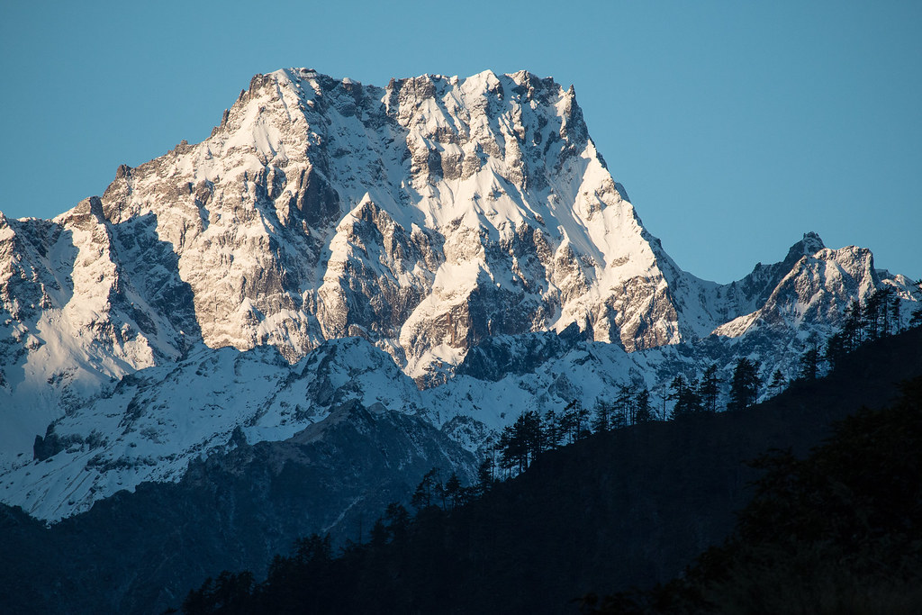
Related Photos:
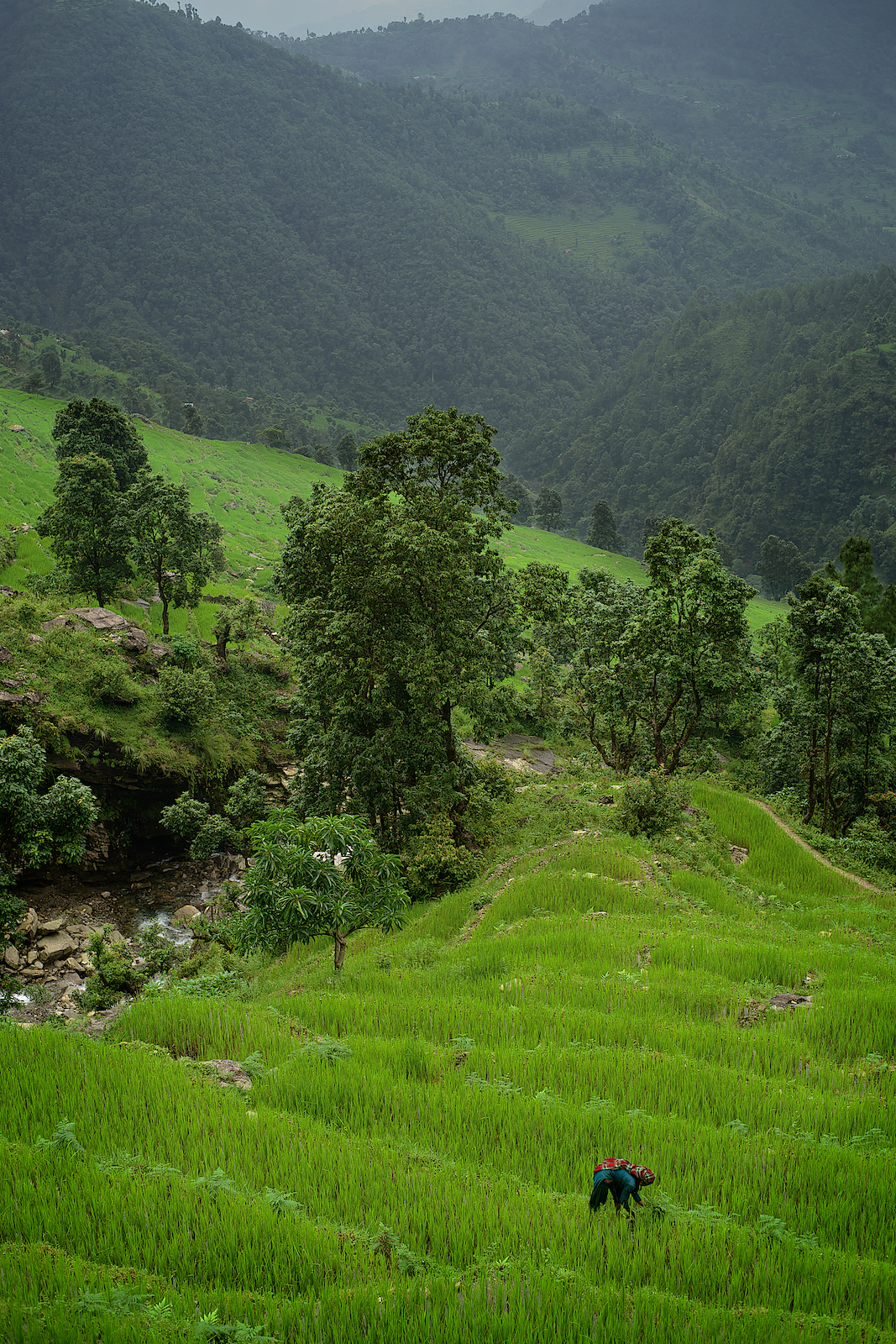
Nepali woman farming near Mont Manaslu, Gorka area, Nepal
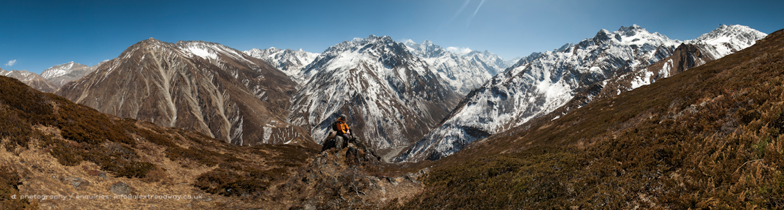
Ganesh Himal
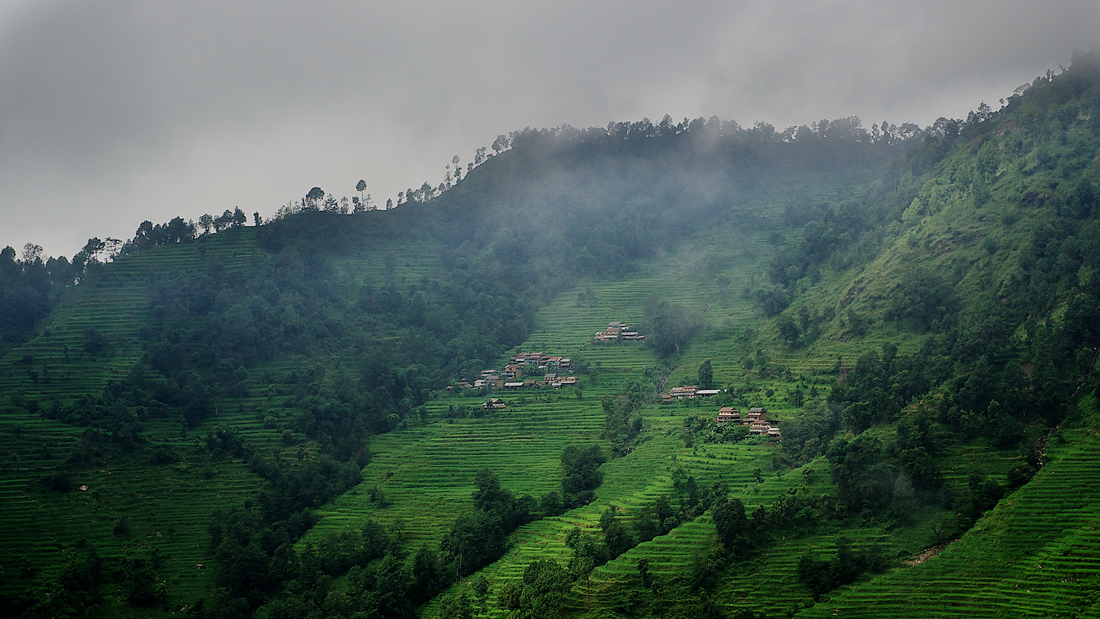
Nepali mountain villages near Mont Manaslu, Gorka area, Nepal
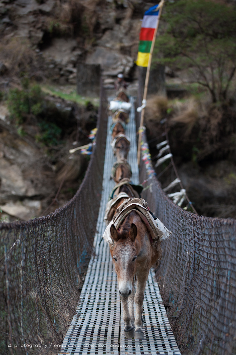
Pack horses
TSUM VIEW
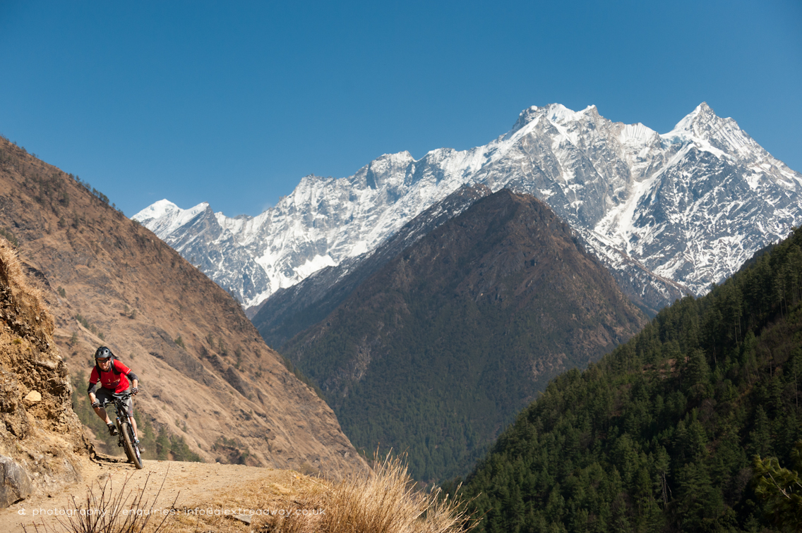
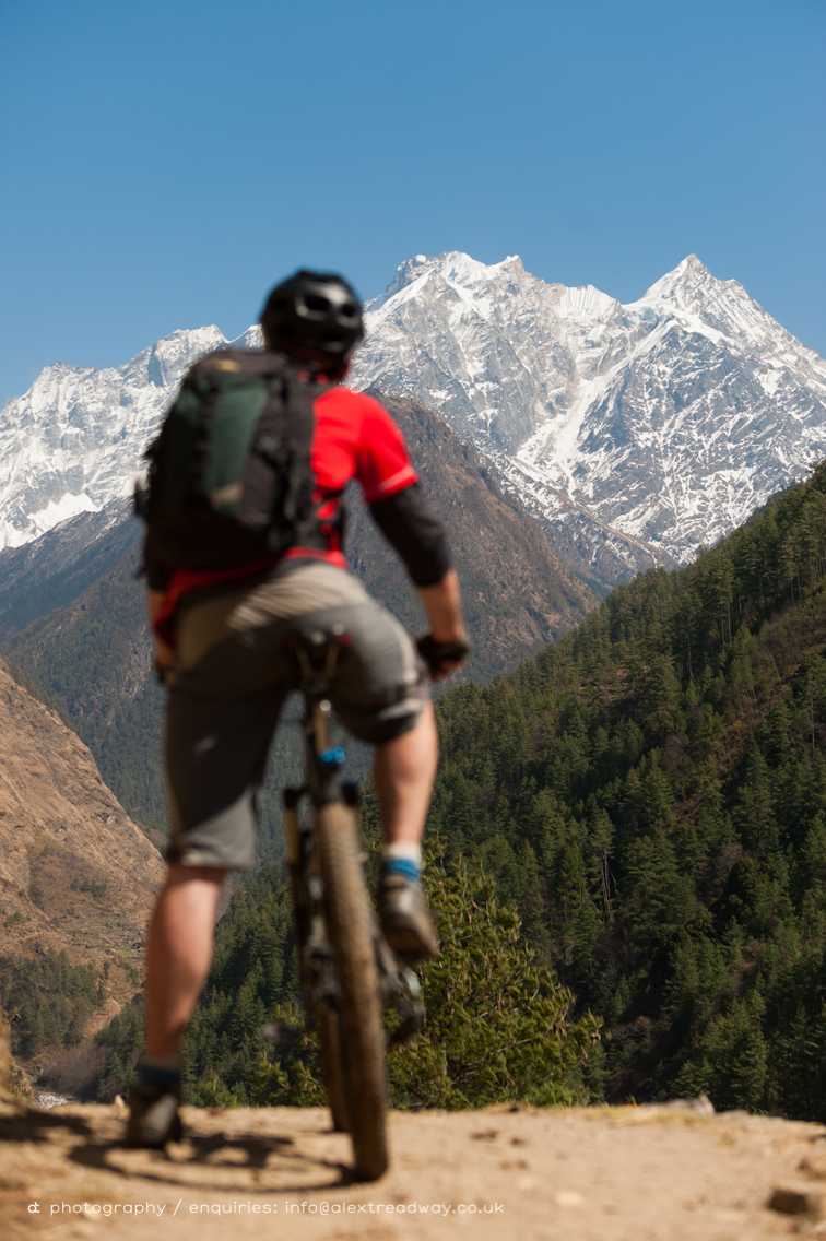
Vroom with a view
Steps near Philm
Tsum view
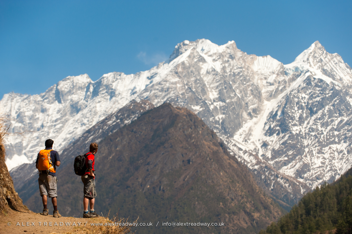
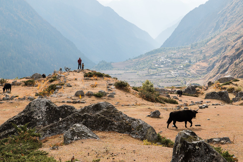
Stopping for the view
A Fine View Son
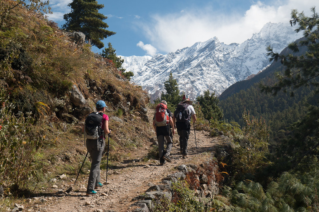
A Pleasant Stroll
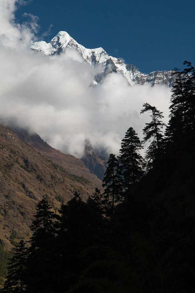
Valley View to Shringi
Small but Shapely
Topographic Map of Chamar, Chumchet, Nepal
Find elevation by address:

Places near Chamar, Chumchet, Nepal:
Chumchet
Bihi
Chumling
Deng
Lokpa
Chhokangparo
Nile
Mu Gompa
Philim
Namrung
Prok
Sirdibas
Ganesh Himal
Kerauja
Yangra
Uiya
Gorkha
Tatopani
Birendra Lake View Point
Birendra Taal
Recent Searches:
- Elevation of Corso Fratelli Cairoli, 35, Macerata MC, Italy
- Elevation of Tallevast Rd, Sarasota, FL, USA
- Elevation of 4th St E, Sonoma, CA, USA
- Elevation of Black Hollow Rd, Pennsdale, PA, USA
- Elevation of Oakland Ave, Williamsport, PA, USA
- Elevation of Pedrógão Grande, Portugal
- Elevation of Klee Dr, Martinsburg, WV, USA
- Elevation of Via Roma, Pieranica CR, Italy
- Elevation of Tavkvetili Mountain, Georgia
- Elevation of Hartfords Bluff Cir, Mt Pleasant, SC, USA