Elevation of Gunung Bubu, Perak, Malaysia
Location: Malaysia > Perak > Manong > Kampung Jalan Badak >
Longitude: 100.8066666
Latitude: 4.68
Elevation: 1592m / 5223feet
Barometric Pressure: 0KPa
Related Photos:
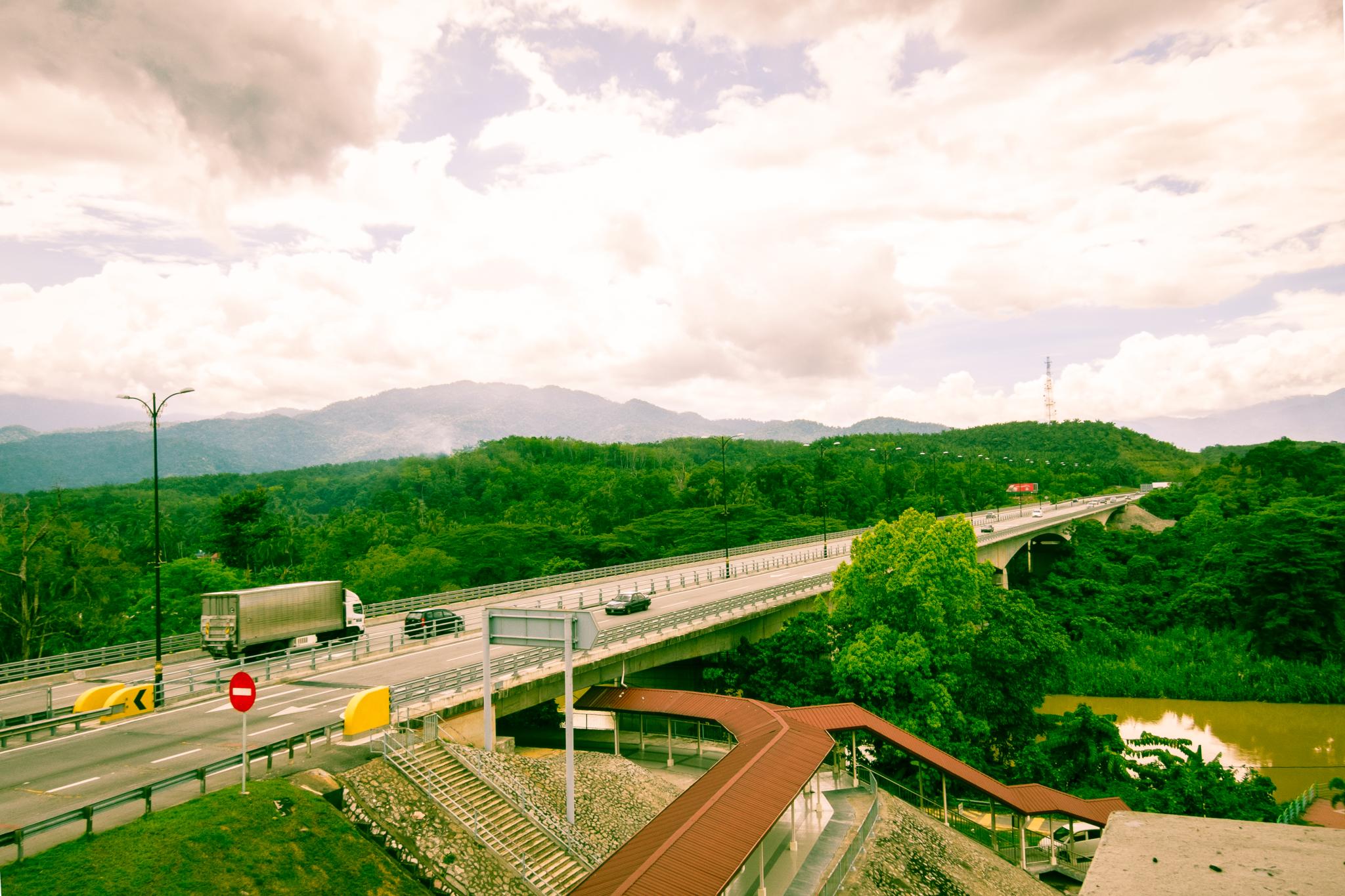
Green is in!
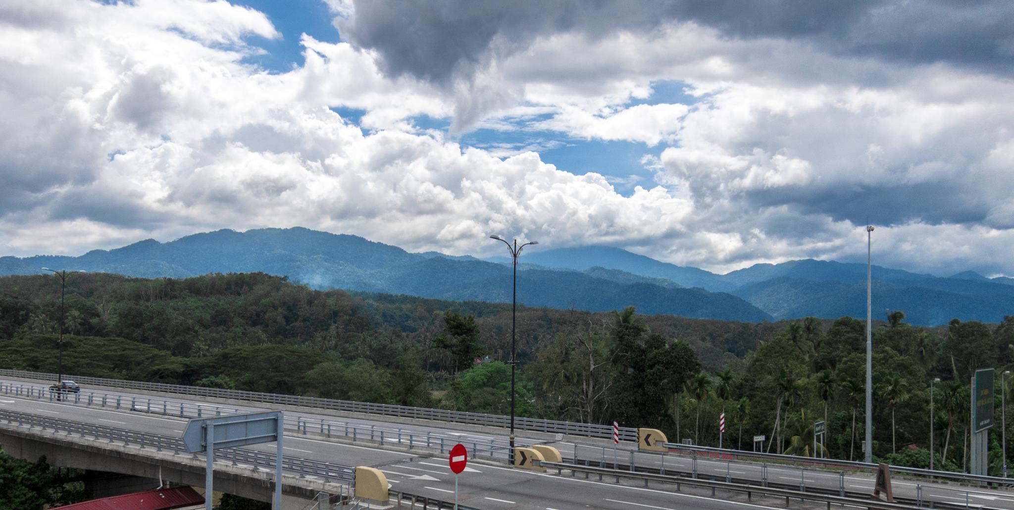
Tropical Clouds
Topographic Map of Gunung Bubu, Perak, Malaysia
Find elevation by address:

Places near Gunung Bubu, Perak, Malaysia:
Kampung Jalan Badak
Manong
Kampung Langkap
Jalan Air Kuning
Simpang
Kuala Kangsar
Ubudiah Royal Mosque, Kuala Kangsar, Perak.
Rylink
Caulfield Hill
Bukit Larut
Taiping
Larut Dan Matang
Maxwell Hill Admin's Office
Aulong
Kuala Sepetang
Gunung Hijau
Lahat
Gunung Lang
Pantai Remis
Kampung Kuchai
Recent Searches:
- Elevation of 10370, West 107th Circle, Westminster, Jefferson County, Colorado, 80021, USA
- Elevation of 611, Roman Road, Old Ford, Bow, London, England, E3 2RW, United Kingdom
- Elevation of 116, Beartown Road, Underhill, Chittenden County, Vermont, 05489, USA
- Elevation of Window Rock, Colfax County, New Mexico, 87714, USA
- Elevation of 4807, Rosecroft Street, Kempsville Gardens, Virginia Beach, Virginia, 23464, USA
- Elevation map of Matawinie, Quebec, Canada
- Elevation of Sainte-Émélie-de-l'Énergie, Matawinie, Quebec, Canada
- Elevation of Rue du Pont, Sainte-Émélie-de-l'Énergie, Matawinie, Quebec, J0K2K0, Canada
- Elevation of 8, Rue de Bécancour, Blainville, Thérèse-De Blainville, Quebec, J7B1N2, Canada
- Elevation of Wilmot Court North, 163, University Avenue West, Northdale, Waterloo, Region of Waterloo, Ontario, N2L6B6, Canada
- Elevation map of Panamá Province, Panama
- Elevation of Balboa, Panamá Province, Panama
- Elevation of San Miguel, Balboa, Panamá Province, Panama
- Elevation of Isla Gibraleón, San Miguel, Balboa, Panamá Province, Panama
- Elevation of 4655, Krischke Road, Schulenburg, Fayette County, Texas, 78956, USA
- Elevation of Carnegie Avenue, Downtown Cleveland, Cleveland, Cuyahoga County, Ohio, 44115, USA
- Elevation of Walhonding, Coshocton County, Ohio, USA
- Elevation of Clifton Down, Clifton, Bristol, City of Bristol, England, BS8 3HU, United Kingdom
- Elevation map of Auvergne-Rhône-Alpes, France
- Elevation map of Upper Savoy, Auvergne-Rhône-Alpes, France