Elevation of Kampung Jalan Badak, Manong, Perak, Malaysia
Location: Malaysia > Perak > Manong >
Longitude: 100.884295
Latitude: 4.630022
Elevation: 45m / 148feet
Barometric Pressure: 101KPa
Elevation Map:
Satellite Map:
Related Photos:
Green is in!
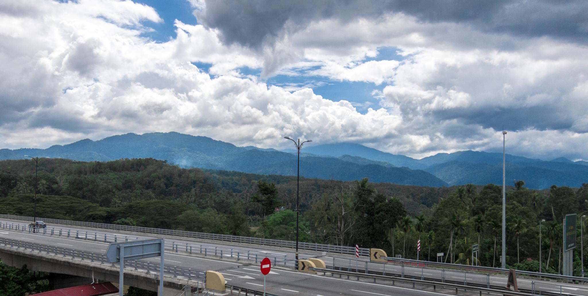
Tropical Clouds
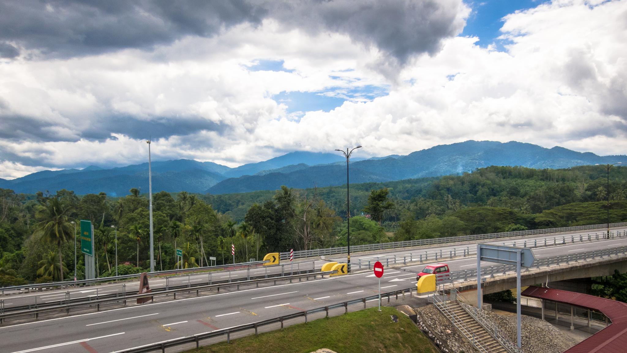
Nice view...
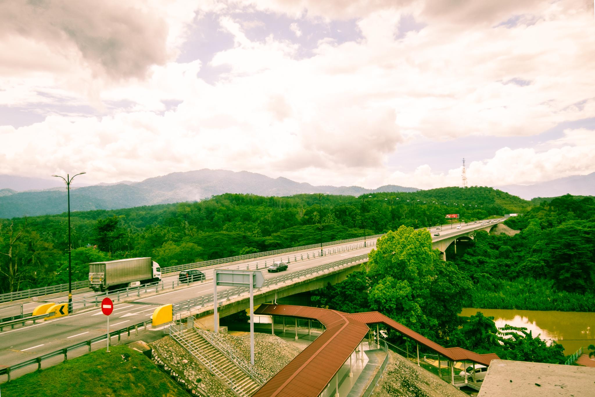
Scenery from a five storey vista point
The beauty Nature ~ Late Manong (1st phase)
The beauty Nature ~ Late Manong (1st phase)

Random shot (portrait)
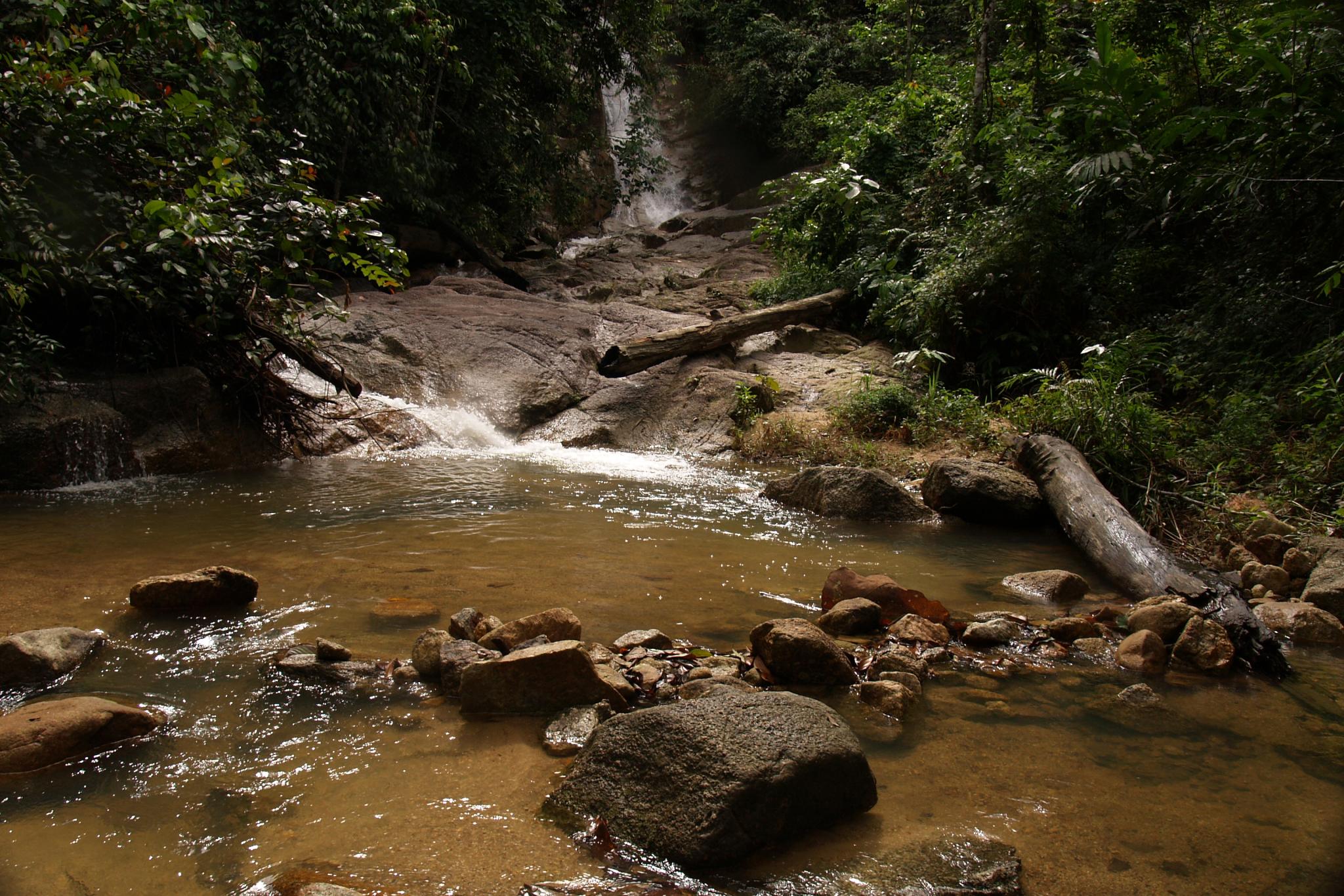
Nature ~ Kampung Ulu Bekor
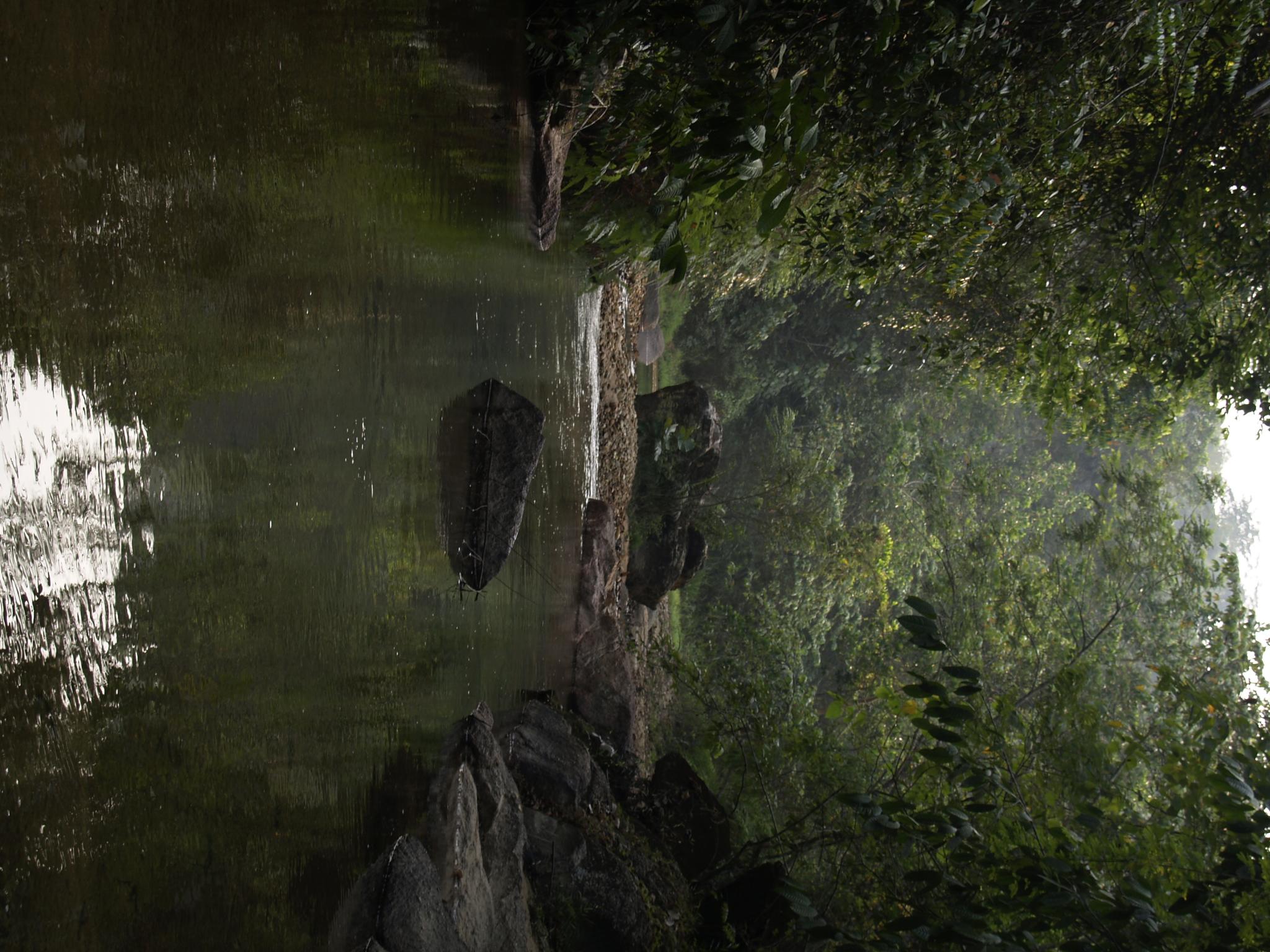
"sungai rambai tujuh"
Nature ~ Kampung Ulu Bekor
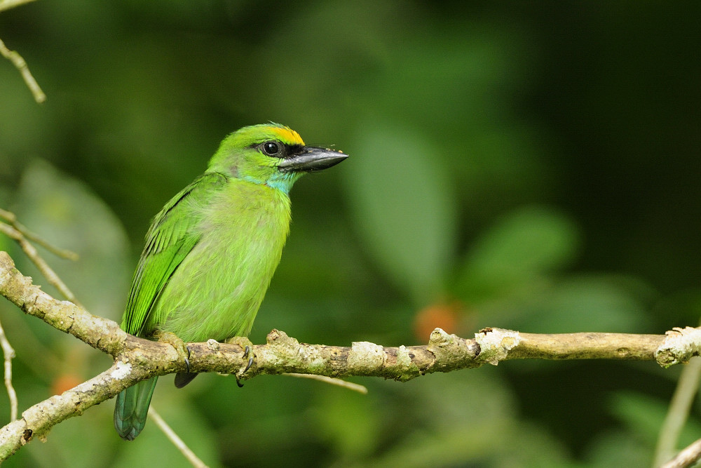
Yellow Crowned Barbet - j -3
Nature ~ Kampung Ulu Bekor

7 km uphill climb to the TM Station top of the kledang hills

20151215(Canon EOS 6D)-00017

20151215(Canon EOS 6D)-00018
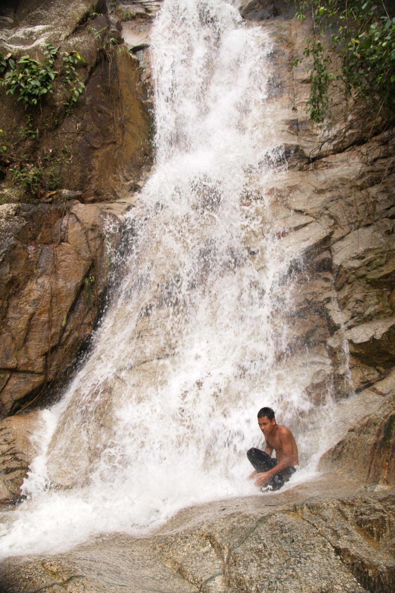
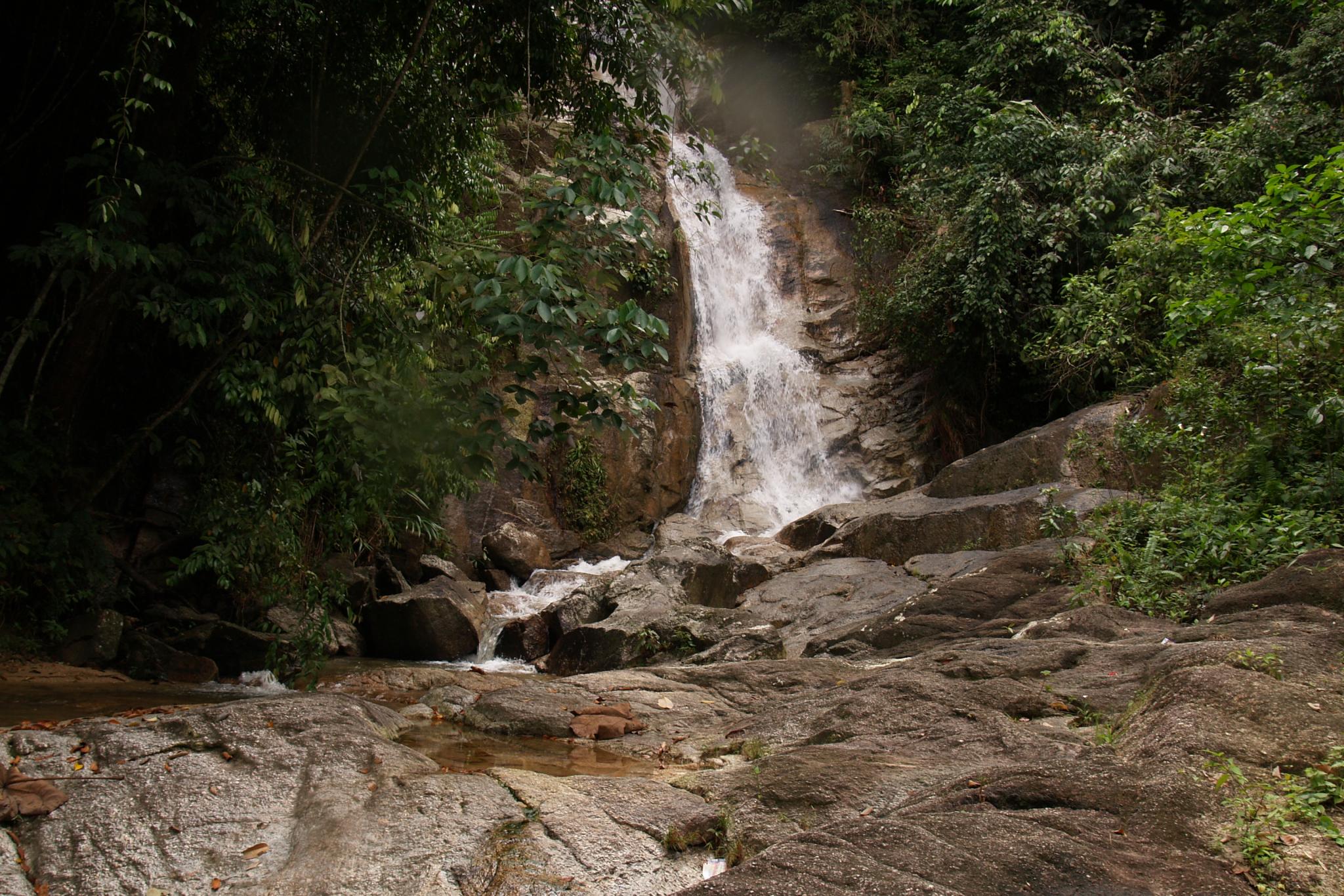
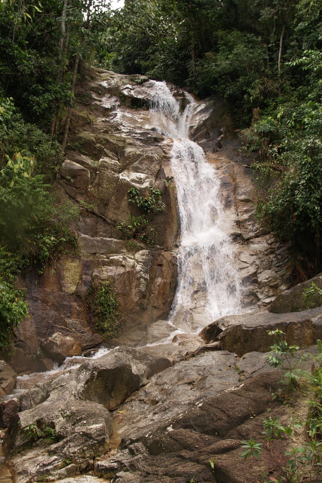
Late Kuala Dai

Late Kuala Dal + SUNPAK 888AFZ speedlite

Late Kuala Dai
Nature is about
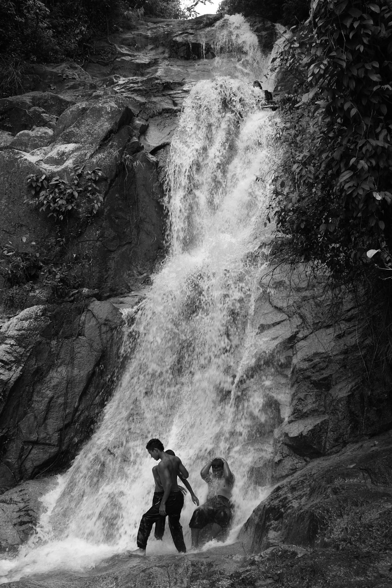
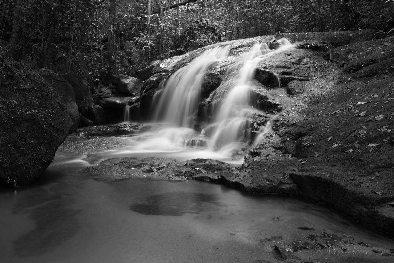
"late kuala dai" (black and white)

"the beauty morning"
"the beauty morning"
Topographic Map of Kampung Jalan Badak, Manong, Perak, Malaysia
Find elevation by address:

Places in Kampung Jalan Badak, Manong, Perak, Malaysia:
Places near Kampung Jalan Badak, Manong, Perak, Malaysia:
Manong
Kampung Langkap
Gunung Bubu
Ubudiah Royal Mosque, Kuala Kangsar, Perak.
Gunung Hijau
Kuala Kangsar
Lahat
Gunung Lang
Taman Keramat
Kampung Kuchai
Isc Micro Precision Sdn Bhd (ipoh Plant)
Masjid Panglima Kinta
Jalan Masjid
D.r Seenivasagam Recreational Park
Taman Jubilee
Kinta
Ipoh
Perak
Kara Zone
Kawasan Perindustrian Tasek
Recent Searches:
- Elevation of Corso Fratelli Cairoli, 35, Macerata MC, Italy
- Elevation of Tallevast Rd, Sarasota, FL, USA
- Elevation of 4th St E, Sonoma, CA, USA
- Elevation of Black Hollow Rd, Pennsdale, PA, USA
- Elevation of Oakland Ave, Williamsport, PA, USA
- Elevation of Pedrógão Grande, Portugal
- Elevation of Klee Dr, Martinsburg, WV, USA
- Elevation of Via Roma, Pieranica CR, Italy
- Elevation of Tavkvetili Mountain, Georgia
- Elevation of Hartfords Bluff Cir, Mt Pleasant, SC, USA