Elevation of Gum Point Rd, Bath, NC, USA
Longitude: -76.757628
Latitude: 35.42014
Elevation: 1m / 3feet
Barometric Pressure: 101KPa
Elevation Map:
Satellite Map:
Related Photos:

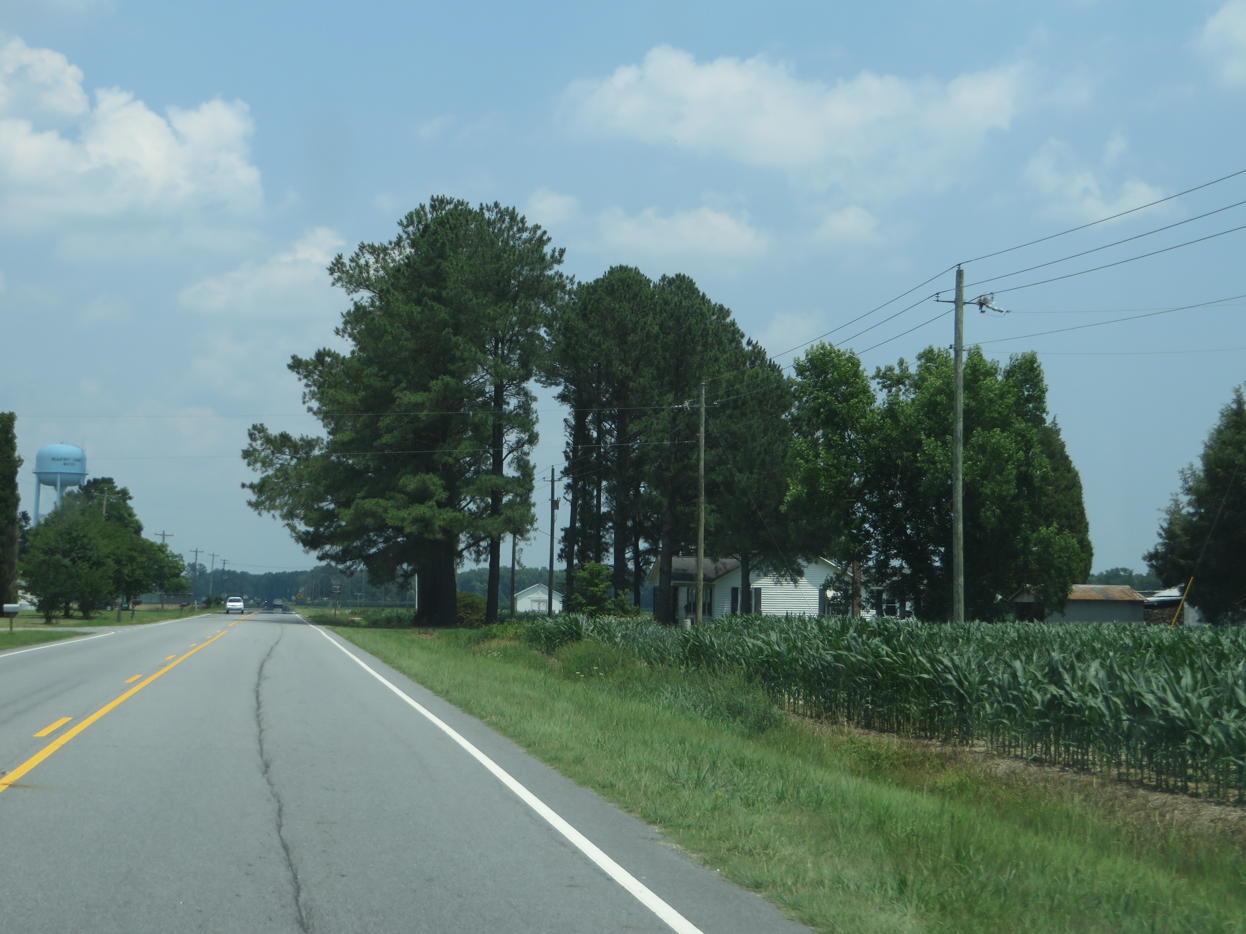
U.S. 264 Between Washington and Belhaven, North Carolina
U.S. 264 Between Washington and Belhaven, North Carolina

U.S. 264 Between Washington and Belhaven, North Carolina

U.S. 264 Between Washington and Belhaven, North Carolina

U.S. 264 Between Washington and Belhaven, North Carolina

Bath, North Carolina

PCS Phosphate

Ferry view

3(2). The Albemarle-Pamlico Estuary

Mallard Creek Trail Goose Creek NC SP Washington NC 0594

Cattails Goose Creek SP NC 8583

Historic Bath, NC

Pamlico River

20140504-IMG_5159
Topographic Map of Gum Point Rd, Bath, NC, USA
Find elevation by address:

Places near Gum Point Rd, Bath, NC, USA:
Mixon Creek Drive
Mixon Creek Rd, Bath, NC, USA
12 Foy Ln
Bayview Rd, Bath, NC, USA
King Blount Drive
115 Waterford Dr
101 Sweetwater
822 Ross Rd
Shore Drive
103 Shore Dr
101 Shore Dr
Bath
8 Pam Dr
Pinecrest Road
Pinecrest Road
Pinecrest Road
Front Street
587 Blackbeards View
Seaview Court
Bath
Recent Searches:
- Elevation of Corso Fratelli Cairoli, 35, Macerata MC, Italy
- Elevation of Tallevast Rd, Sarasota, FL, USA
- Elevation of 4th St E, Sonoma, CA, USA
- Elevation of Black Hollow Rd, Pennsdale, PA, USA
- Elevation of Oakland Ave, Williamsport, PA, USA
- Elevation of Pedrógão Grande, Portugal
- Elevation of Klee Dr, Martinsburg, WV, USA
- Elevation of Via Roma, Pieranica CR, Italy
- Elevation of Tavkvetili Mountain, Georgia
- Elevation of Hartfords Bluff Cir, Mt Pleasant, SC, USA