Elevation of Blackbeards View, Bath, NC, USA
Location: United States > North Carolina > Beaufort County > Bath >
Longitude: -76.823013
Latitude: 35.4619415
Elevation: 4m / 13feet
Barometric Pressure: 101KPa
Elevation Map:
Satellite Map:
Related Photos:
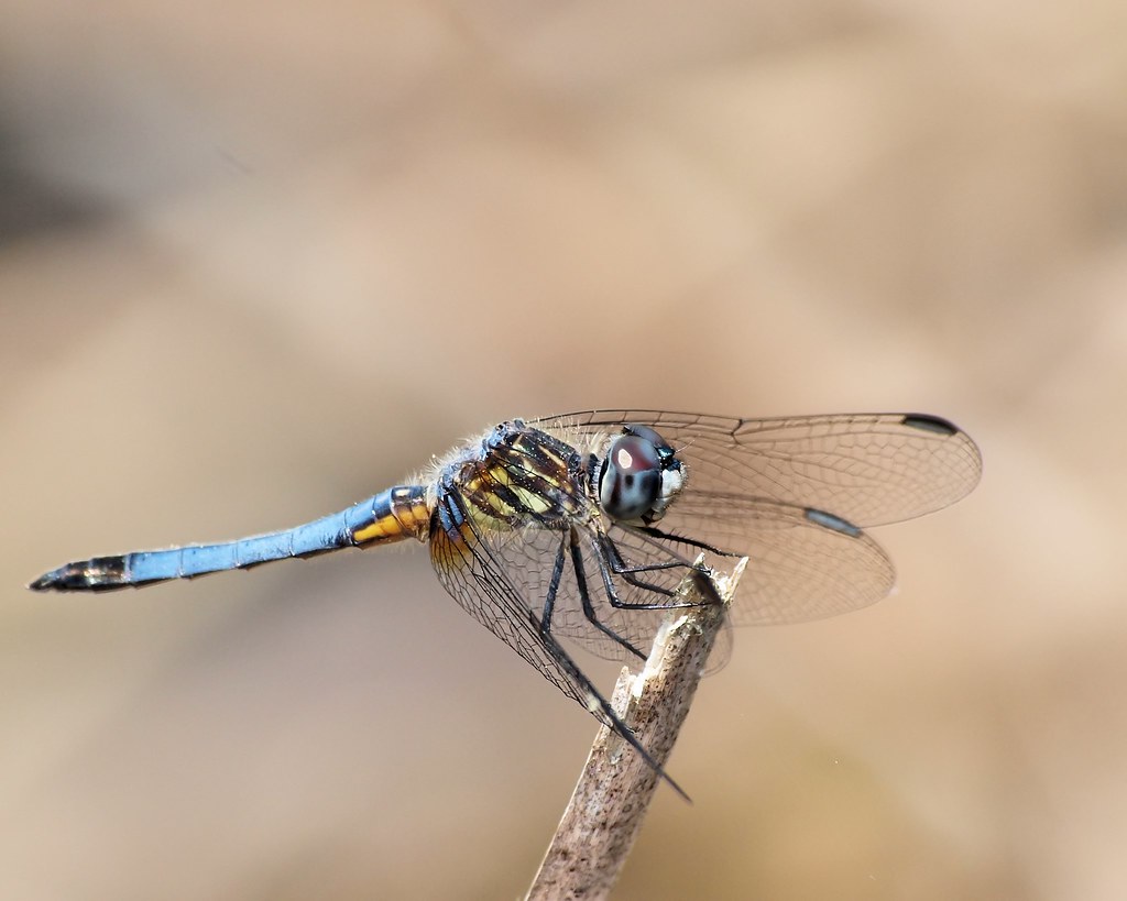
D-Fly's have returned !!

U.S. 264 Between Washington and Belhaven, North Carolina
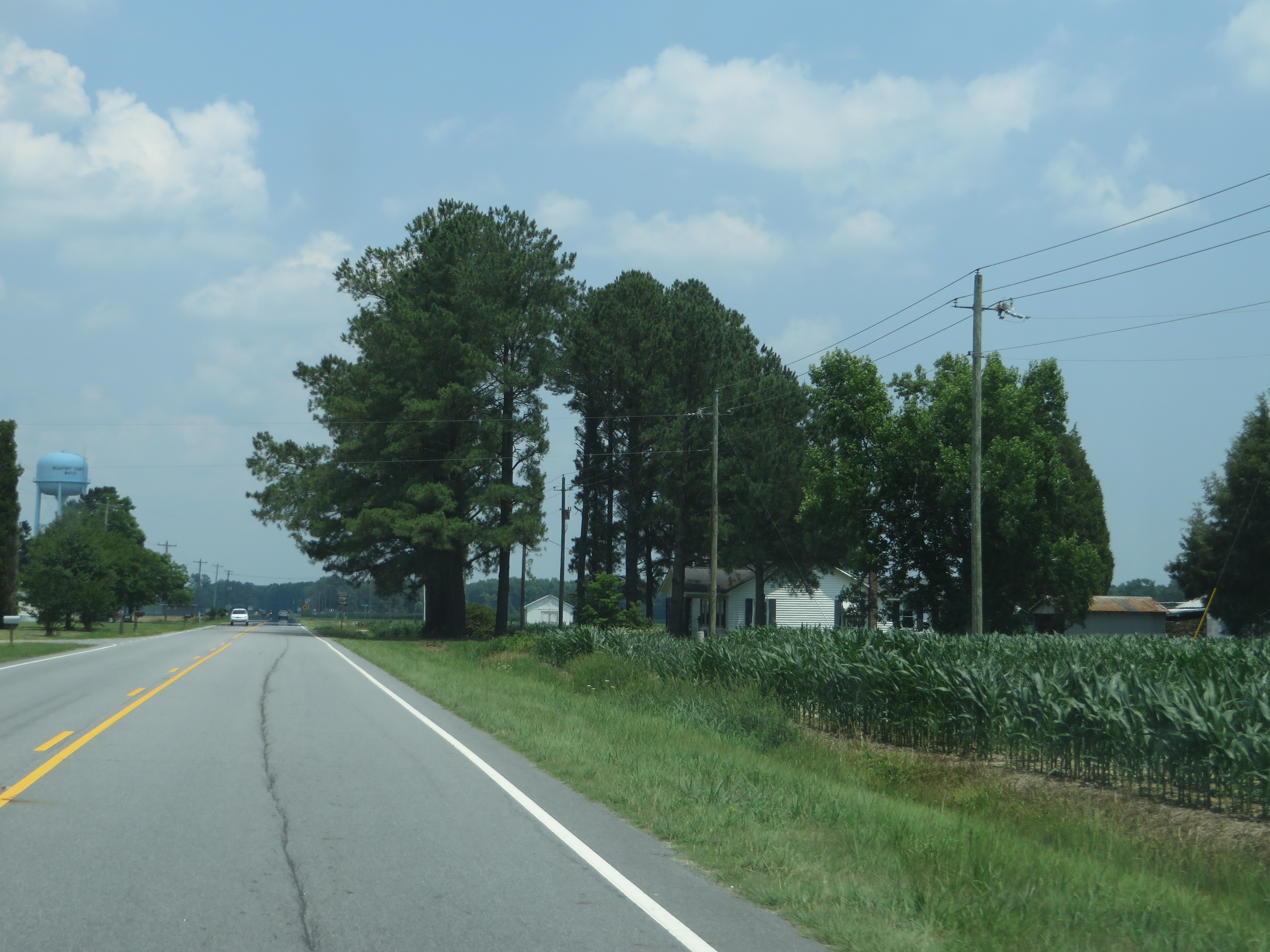
U.S. 264 Between Washington and Belhaven, North Carolina

U.S. 264 Between Washington and Belhaven, North Carolina

U.S. 264 Between Washington and Belhaven, North Carolina

U.S. 264 Between Washington and Belhaven, North Carolina

Bath, North Carolina

PCS Phosphate

Ferry view
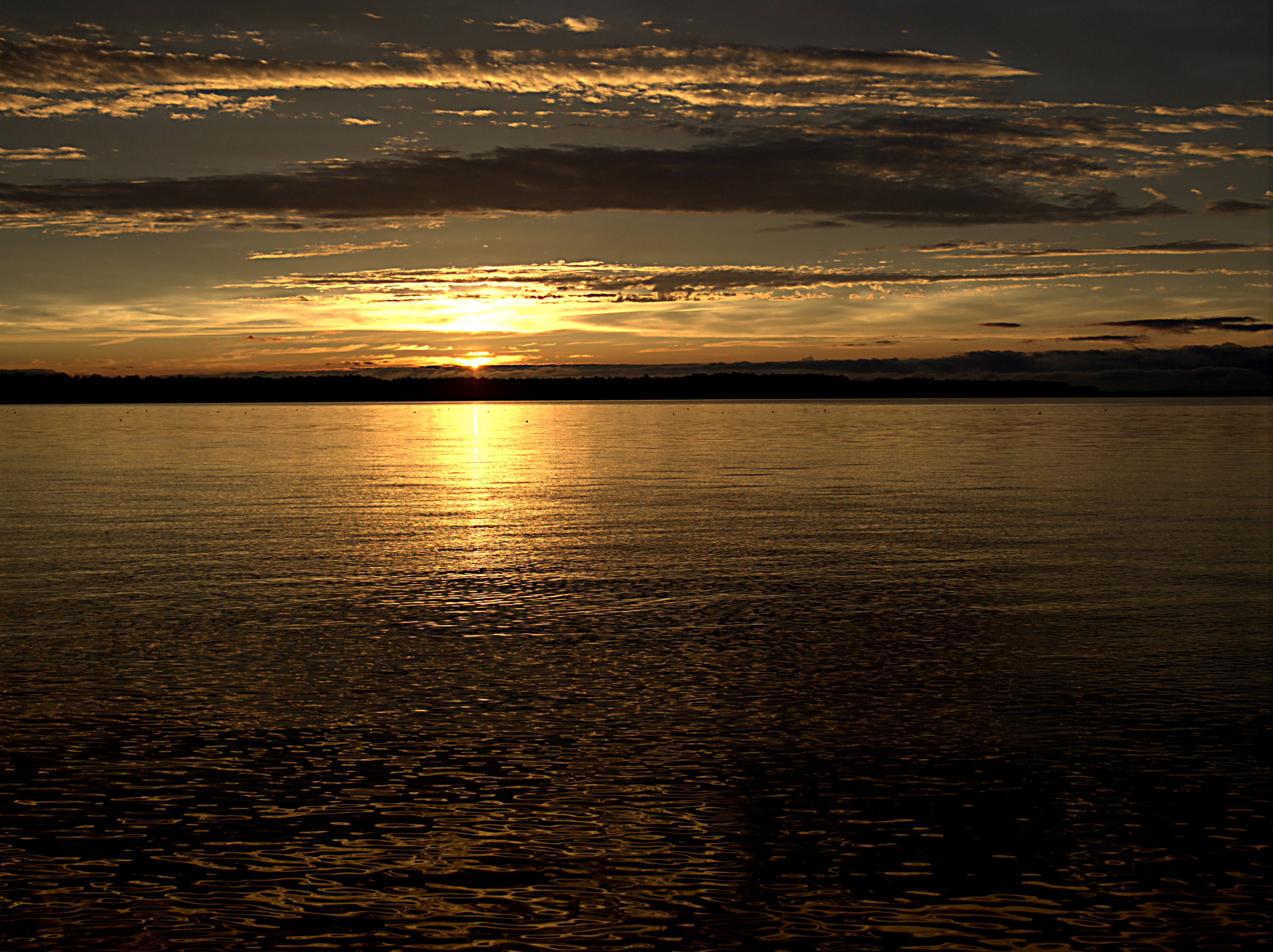
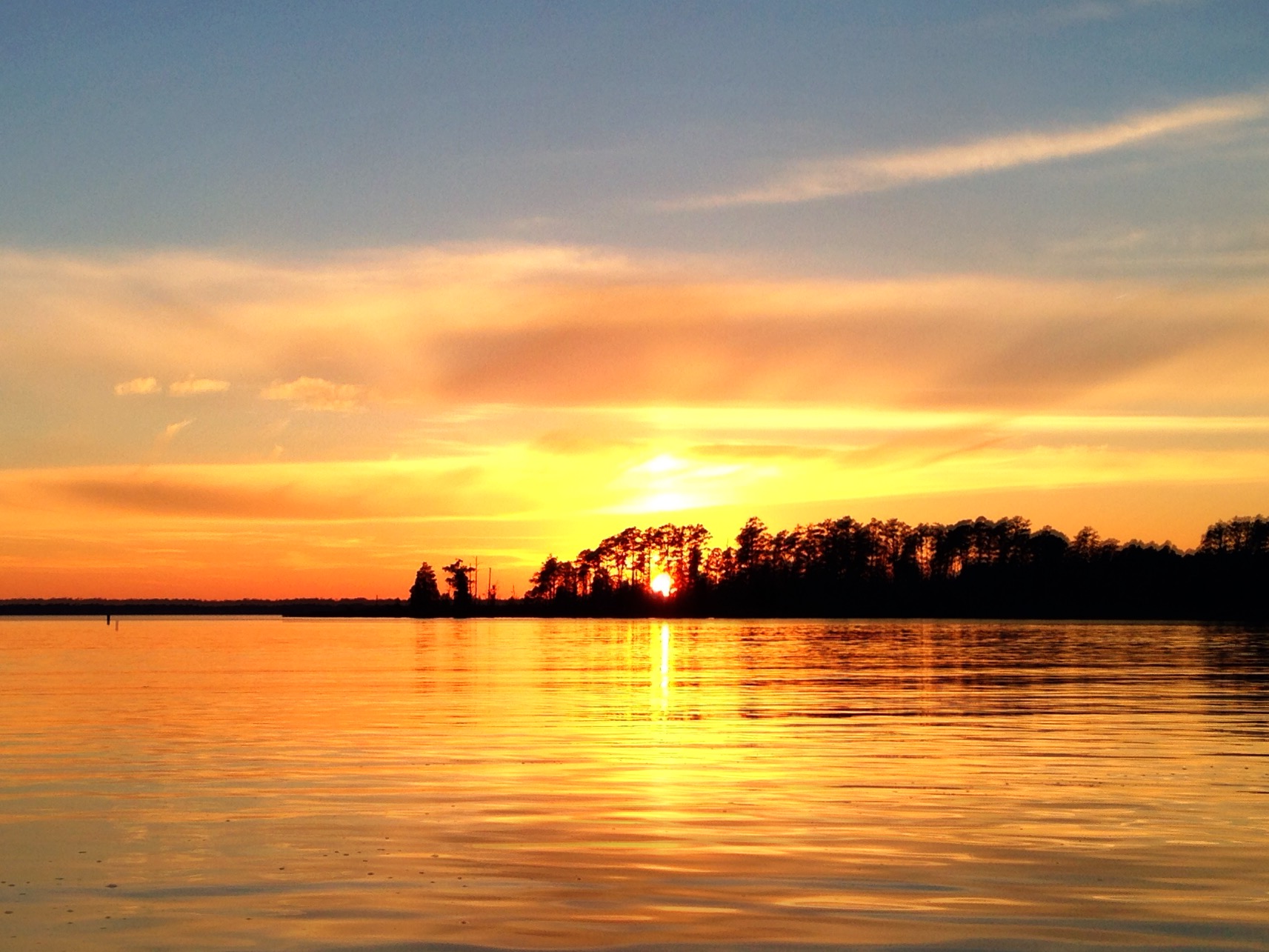
Sunset on Pamlico Sound

Mallard Creek Trail Goose Creek NC SP Washington NC 0594

Cattails Goose Creek SP NC 8583
Shot this on my iPhone while kayaking at Goose Creek State Park in Washington, NC.

Historic Bath, NC

Pamlico River

3(2). The Albemarle-Pamlico Estuary

20140504-IMG_5159
Topographic Map of Blackbeards View, Bath, NC, USA
Find elevation by address:

Places near Blackbeards View, Bath, NC, USA:
Front Street
Bath
Finwick Drive
107 King St
101 Shore Dr
103 Shore Dr
Shore Drive
Stell Road
Stell Road
King Blount Drive
Bayview Rd, Bath, NC, USA
Peninsula Drive
Duck Creek Shores Road
Core Point Rd, Blounts Creek, NC, USA
2927 Nc-92
4303 Camp Leach Rd
Bath
Mixon Creek Rd, Bath, NC, USA
Mixon Creek Drive
1417 Sparrow Bay Rd #278
Recent Searches:
- Elevation of Corso Fratelli Cairoli, 35, Macerata MC, Italy
- Elevation of Tallevast Rd, Sarasota, FL, USA
- Elevation of 4th St E, Sonoma, CA, USA
- Elevation of Black Hollow Rd, Pennsdale, PA, USA
- Elevation of Oakland Ave, Williamsport, PA, USA
- Elevation of Pedrógão Grande, Portugal
- Elevation of Klee Dr, Martinsburg, WV, USA
- Elevation of Via Roma, Pieranica CR, Italy
- Elevation of Tavkvetili Mountain, Georgia
- Elevation of Hartfords Bluff Cir, Mt Pleasant, SC, USA