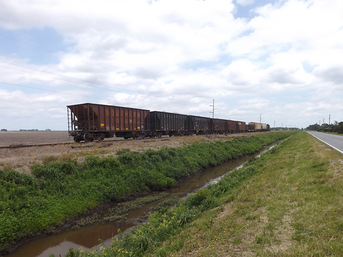
Elevation of Finwick Drive, Finwick Dr, Bath, NC, USA
Location: United States > North Carolina > Beaufort County > Bath >
Longitude: -76.812533
Latitude: 35.4784586
Elevation: -10000m / -32808feet
Barometric Pressure: 295KPa
Related Photos:
Topographic Map of Finwick Drive, Finwick Dr, Bath, NC, USA
Find elevation by address:

Places near Finwick Drive, Finwick Dr, Bath, NC, USA:
107 King St
Bath
Front Street
101 Shore Dr
103 Shore Dr
Shore Drive
Stell Road
Stell Road
587 Blackbeards View
Peninsula Drive
Bath
King Blount Drive
Bayview Rd, Bath, NC, USA
2927 Nc-92
Mixon Creek Rd, Bath, NC, USA
Mixon Creek Drive
Duck Creek Shores Road
4303 Camp Leach Rd
Core Point Rd, Blounts Creek, NC, USA
953 Gum Point Rd
Recent Searches:
- Elevation of Corso Fratelli Cairoli, 35, Macerata MC, Italy
- Elevation of Tallevast Rd, Sarasota, FL, USA
- Elevation of 4th St E, Sonoma, CA, USA
- Elevation of Black Hollow Rd, Pennsdale, PA, USA
- Elevation of Oakland Ave, Williamsport, PA, USA
- Elevation of Pedrógão Grande, Portugal
- Elevation of Klee Dr, Martinsburg, WV, USA
- Elevation of Via Roma, Pieranica CR, Italy
- Elevation of Tavkvetili Mountain, Georgia
- Elevation of Hartfords Bluff Cir, Mt Pleasant, SC, USA


