Elevation of Sweetwater, Bath, NC, USA
Location: United States > North Carolina > Beaufort County > Bath >
Longitude: -76.714755
Latitude: 35.429792
Elevation: 2m / 7feet
Barometric Pressure: 101KPa
Elevation Map:
Satellite Map:
Related Photos:

Bath, North Carolina
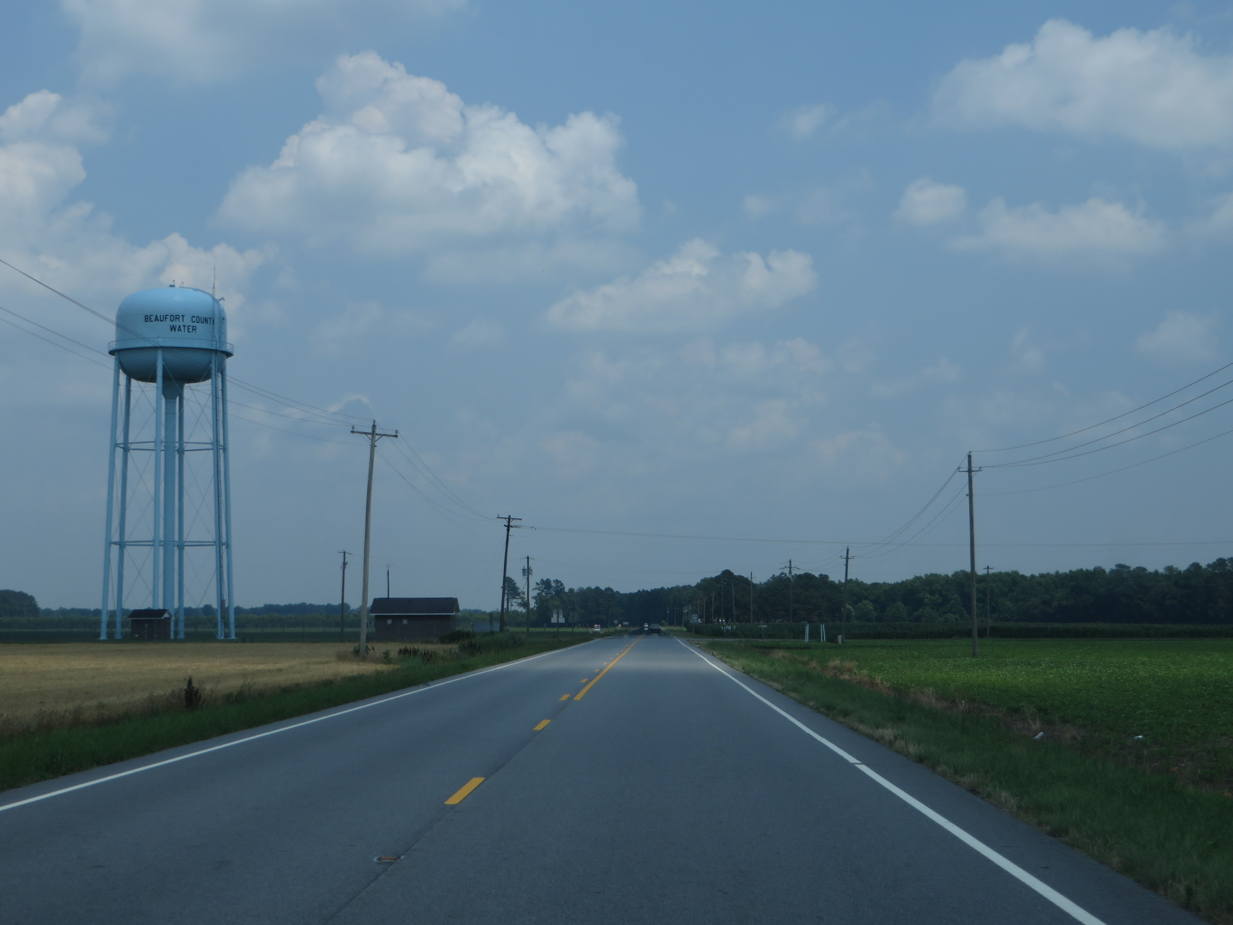
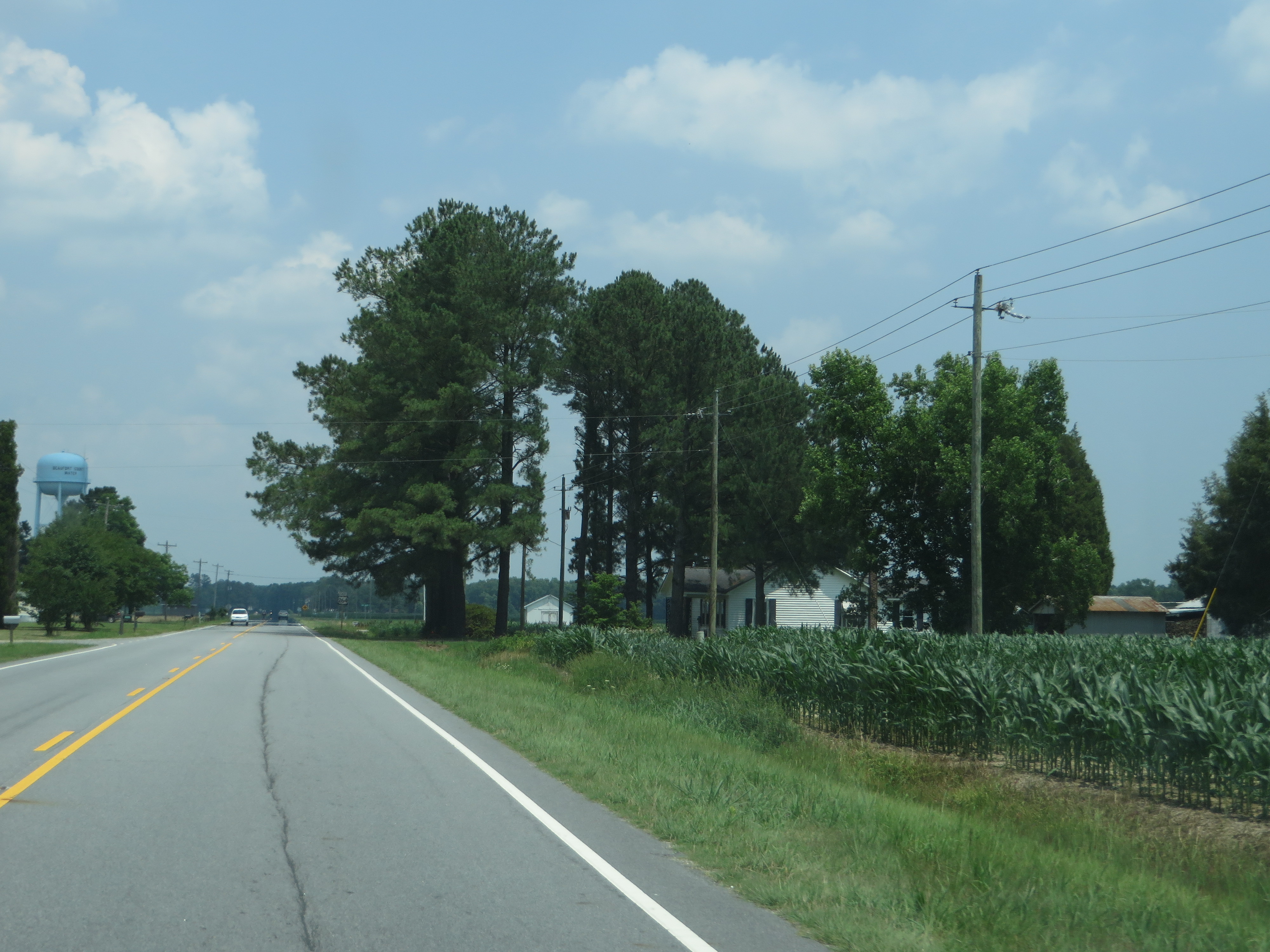
U.S. 264 Between Washington and Belhaven, North Carolina
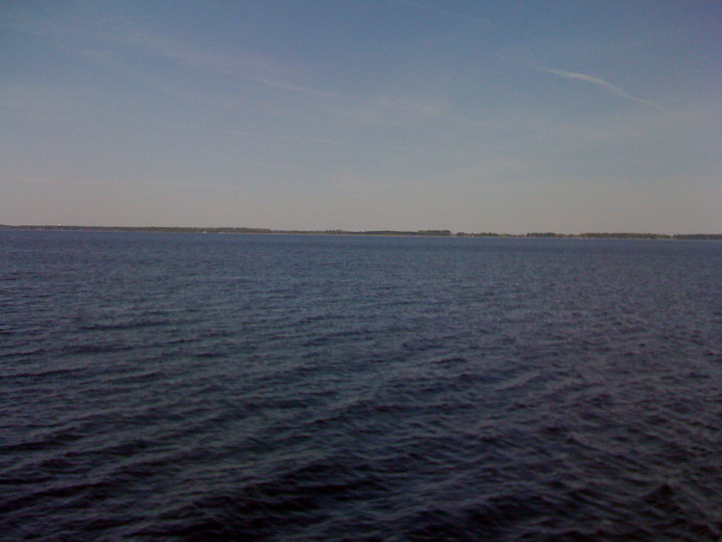
Ferry view
U.S. 264 Between Washington and Belhaven, North Carolina
U.S. 264 Between Washington and Belhaven, North Carolina
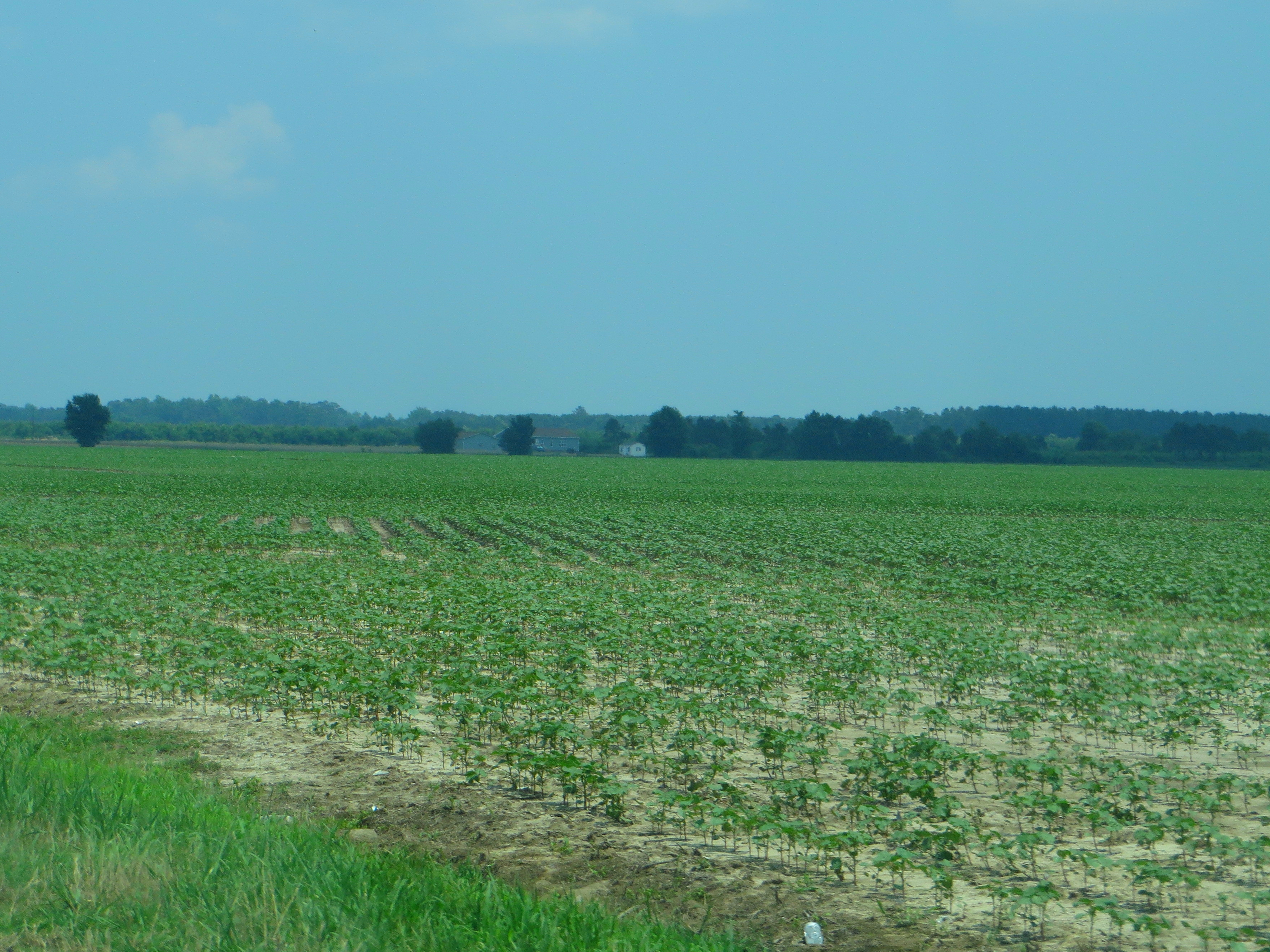
U.S. 264 Between Washington and Belhaven, North Carolina
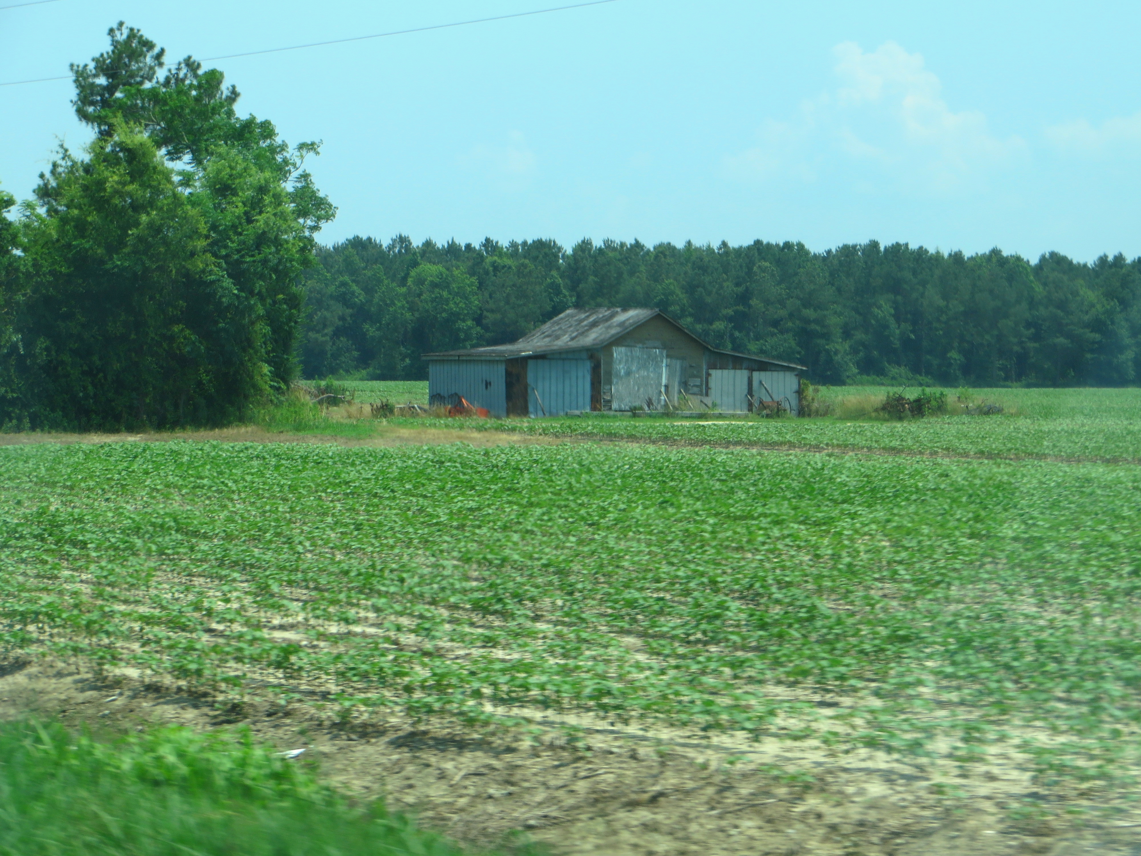
U.S. 264 Between Washington and Belhaven, North Carolina

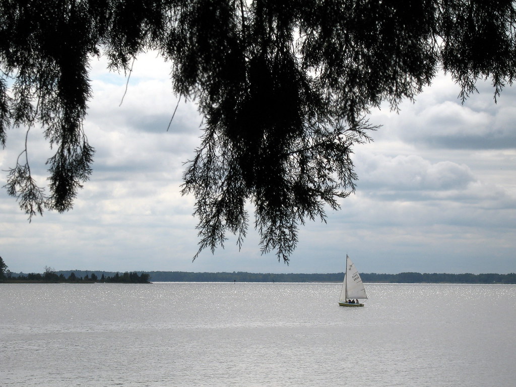
Pungo River sunrise

Pungo River sunrise

Pungo River sunrise
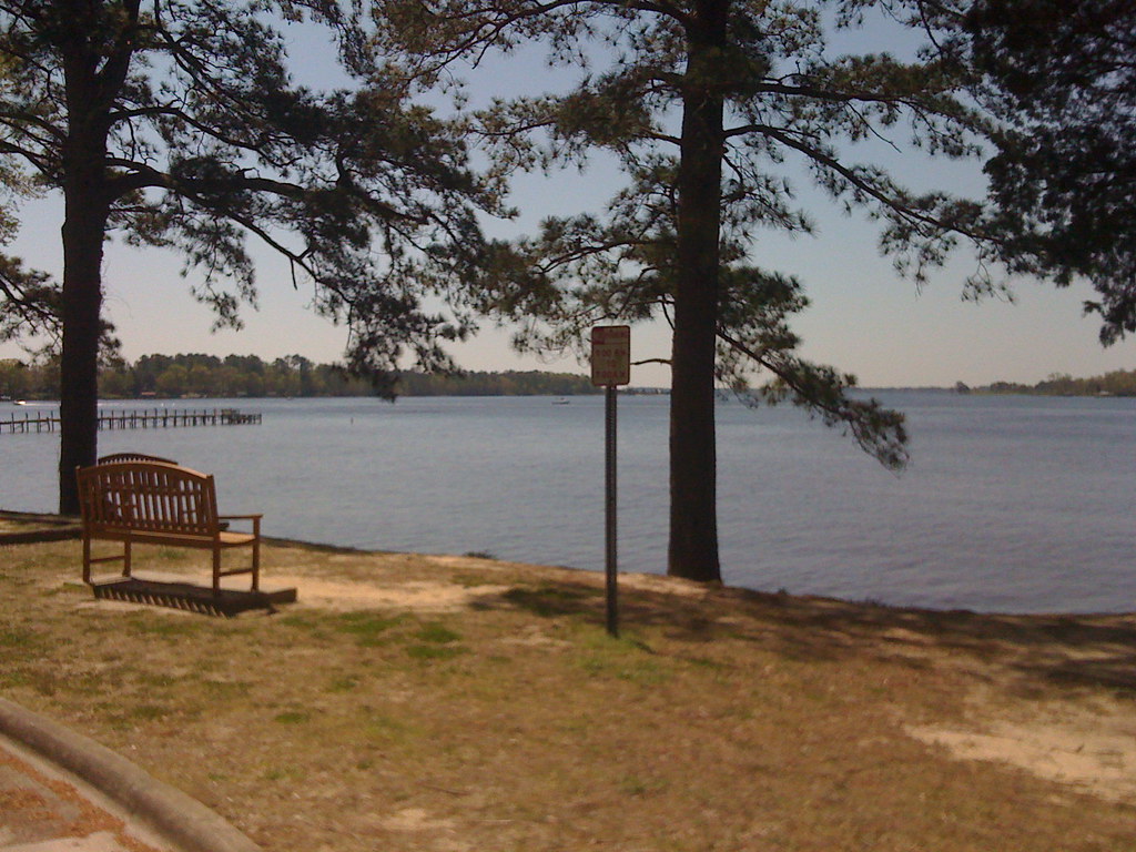
Pamlico River

Pantego Creek Belhaven
Historic Bath, NC
Topographic Map of Sweetwater, Bath, NC, USA
Find elevation by address:

Places near Sweetwater, Bath, NC, USA:
115 Waterford Dr
822 Ross Rd
12 Foy Ln
Pinecrest Road
Pinecrest Road
Pinecrest Road
Seaview Court
75 Seaview Ct
953 Gum Point Rd
Mixon Creek Drive
Mixon Creek Rd, Bath, NC, USA
8 Pam Dr
King Blount Drive
Foreman Ln, Belhaven, NC, USA
Bayview Rd, Bath, NC, USA
Old Pamlico Beach Road West
Bath
Shore Drive
103 Shore Dr
101 Shore Dr
Recent Searches:
- Elevation of Corso Fratelli Cairoli, 35, Macerata MC, Italy
- Elevation of Tallevast Rd, Sarasota, FL, USA
- Elevation of 4th St E, Sonoma, CA, USA
- Elevation of Black Hollow Rd, Pennsdale, PA, USA
- Elevation of Oakland Ave, Williamsport, PA, USA
- Elevation of Pedrógão Grande, Portugal
- Elevation of Klee Dr, Martinsburg, WV, USA
- Elevation of Via Roma, Pieranica CR, Italy
- Elevation of Tavkvetili Mountain, Georgia
- Elevation of Hartfords Bluff Cir, Mt Pleasant, SC, USA