Elevation of Guadalupe Creek Rd, Mariposa, CA, USA
Location: United States > California > Mariposa County > Mariposa >
Longitude: -120.04778
Latitude: 37.459569
Elevation: 657m / 2156feet
Barometric Pressure: 94KPa
Elevation Map:
Satellite Map:
Related Photos:
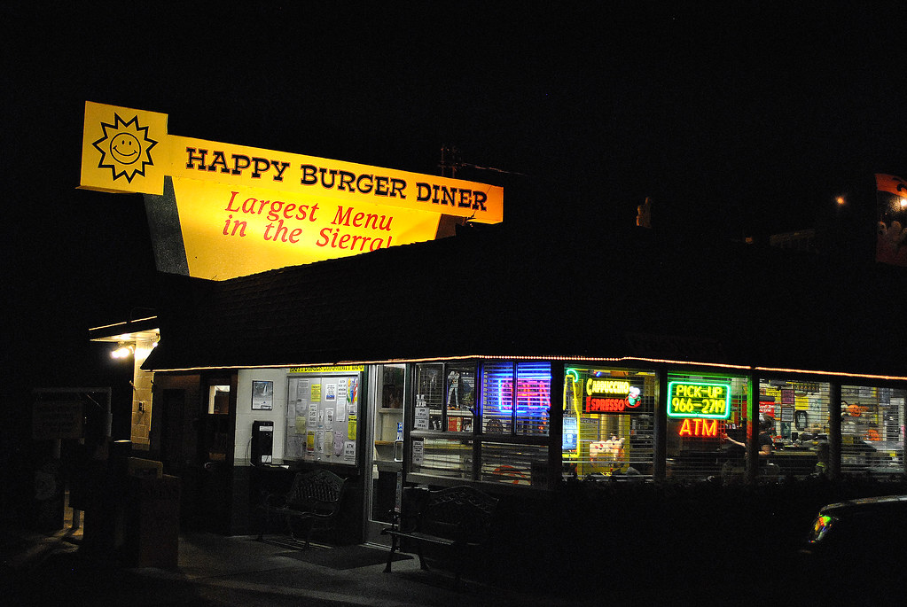
Largest Menu in the Sierra
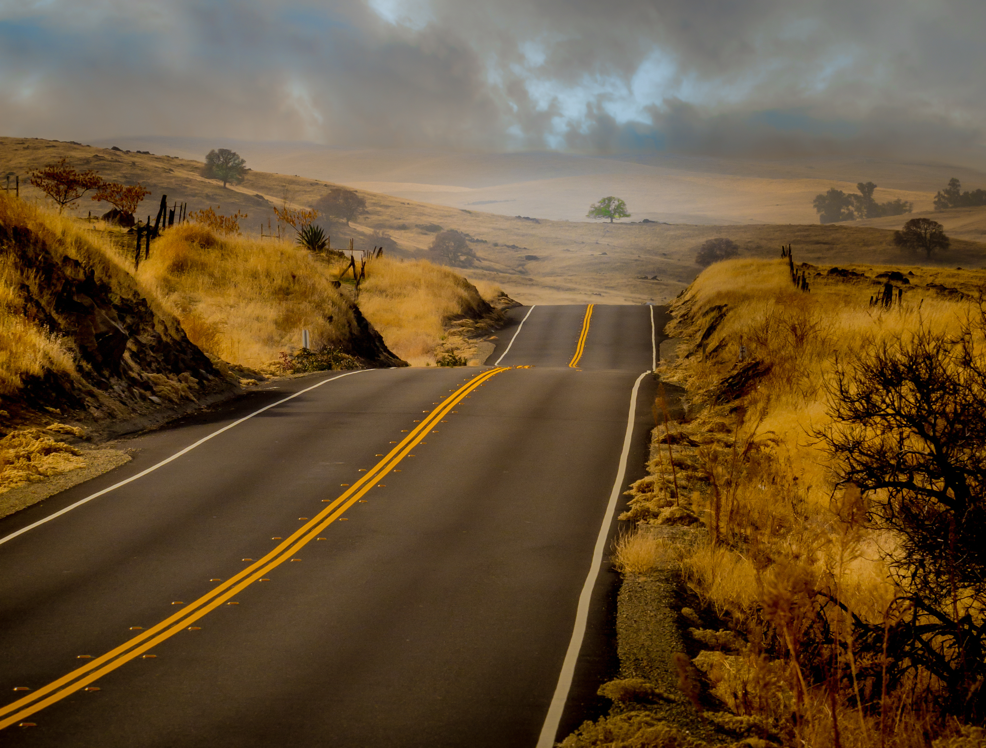
Ominous Sky
St. Joseph's Church, Mariposa

Cruising for Burgers
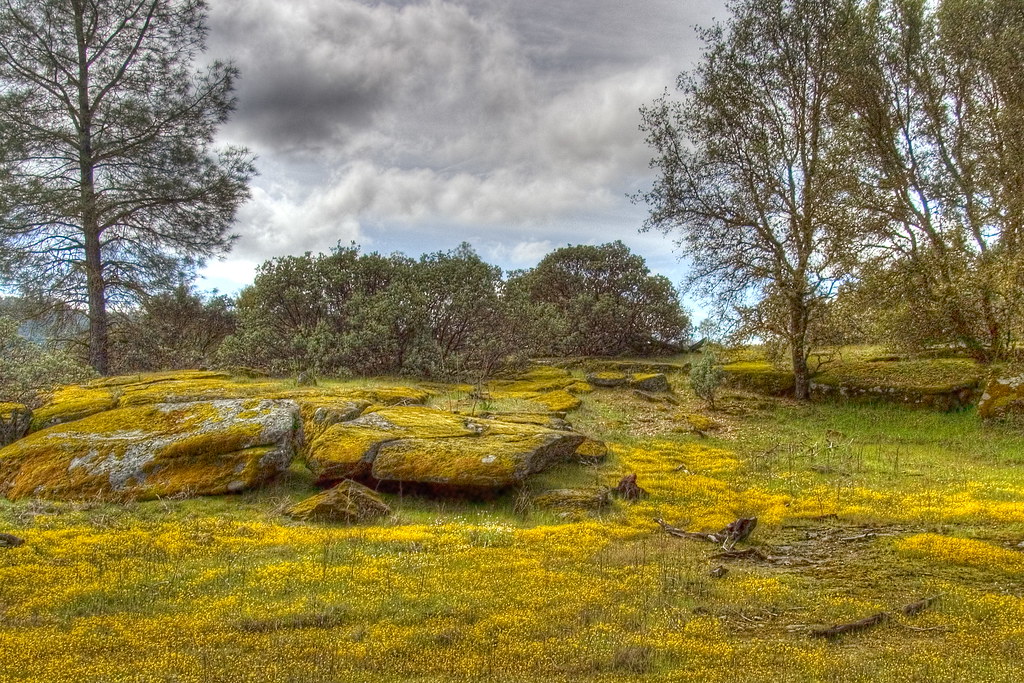
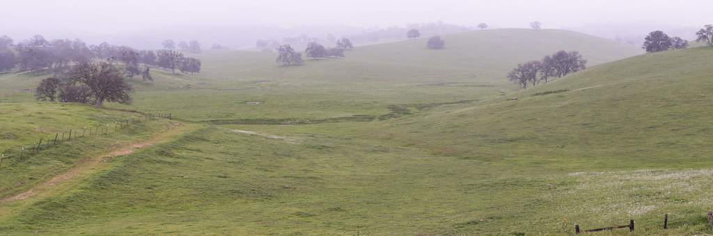
Spring Flowers
California Fog
California 006
Self Portrait
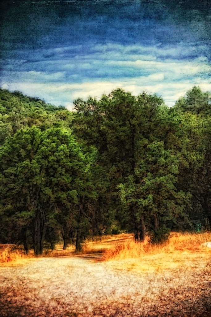
The Sierra Foothills

Trip to Yosemite 149
Red Moss
The View from Fremont's Fort: Along State Highway 49, California (CA)

California 011
California 024

3d Striped Rock (view it large or original)
day 16 - brick building
California 026
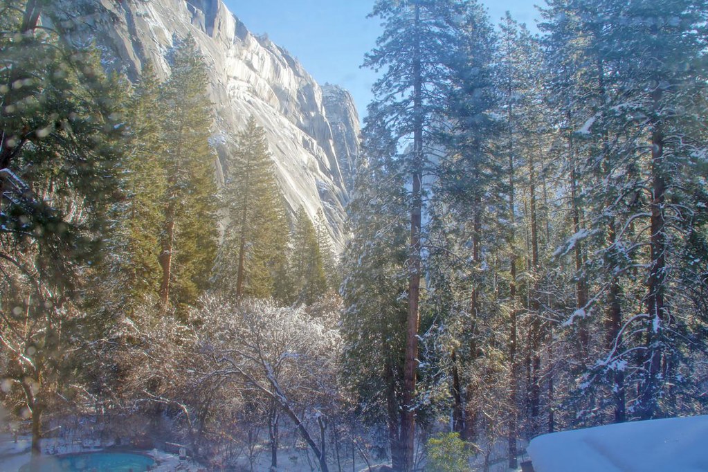
Yosemite In The Winter

Brochymena sulcata stink bug

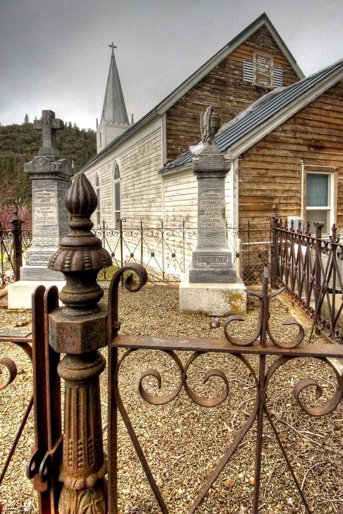
Cemetery, Mariposa

White-banded Crab Spider male
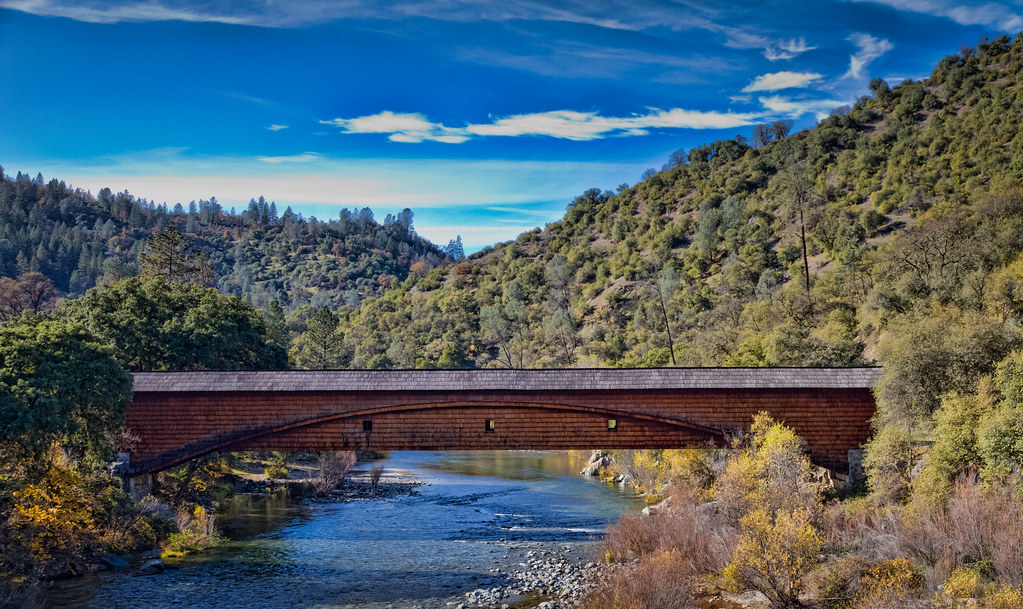
The Covered Bridge at Bridgeport
Hornitos Road Oak, Fog #3
California (knows how to party)
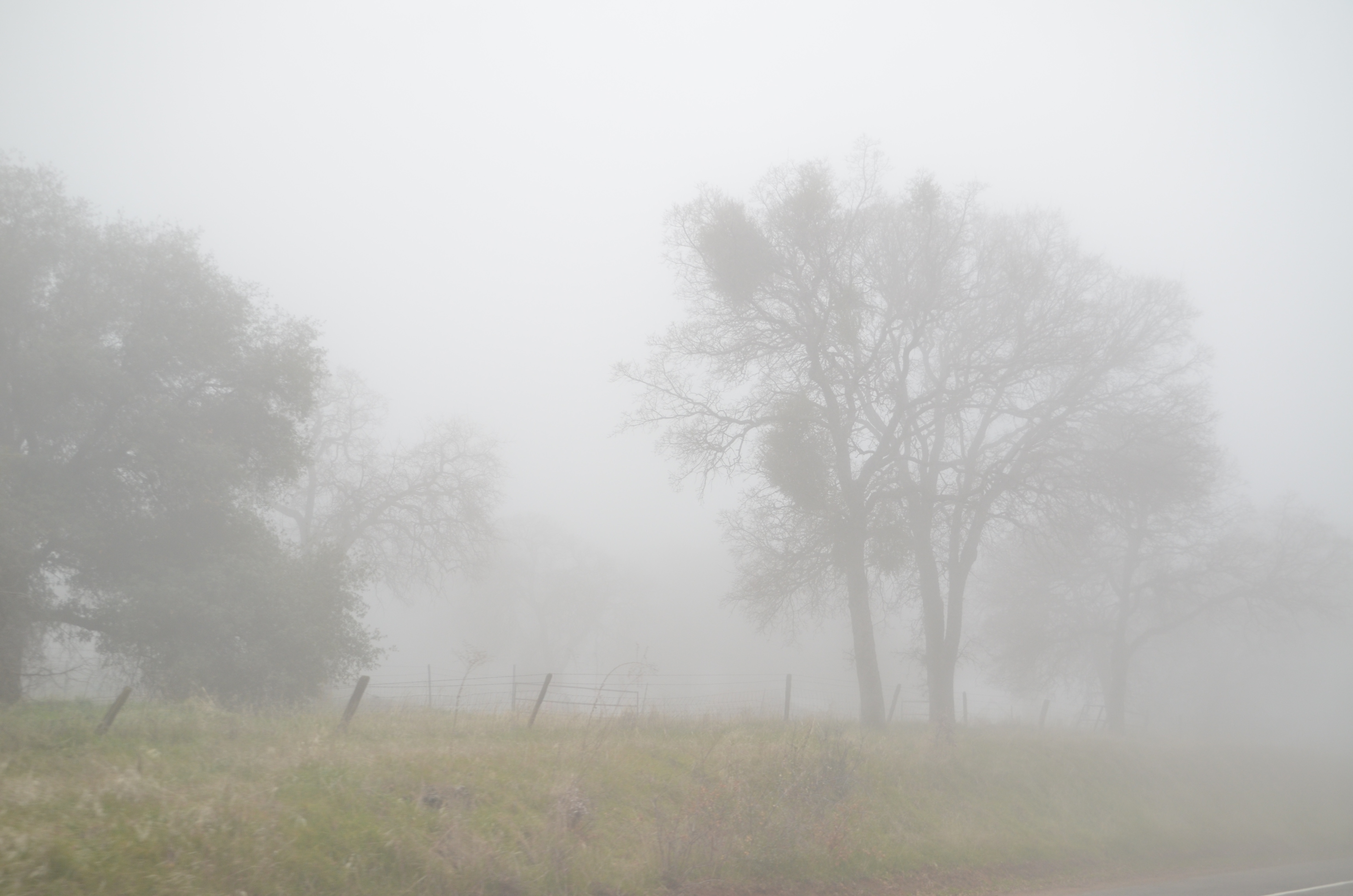
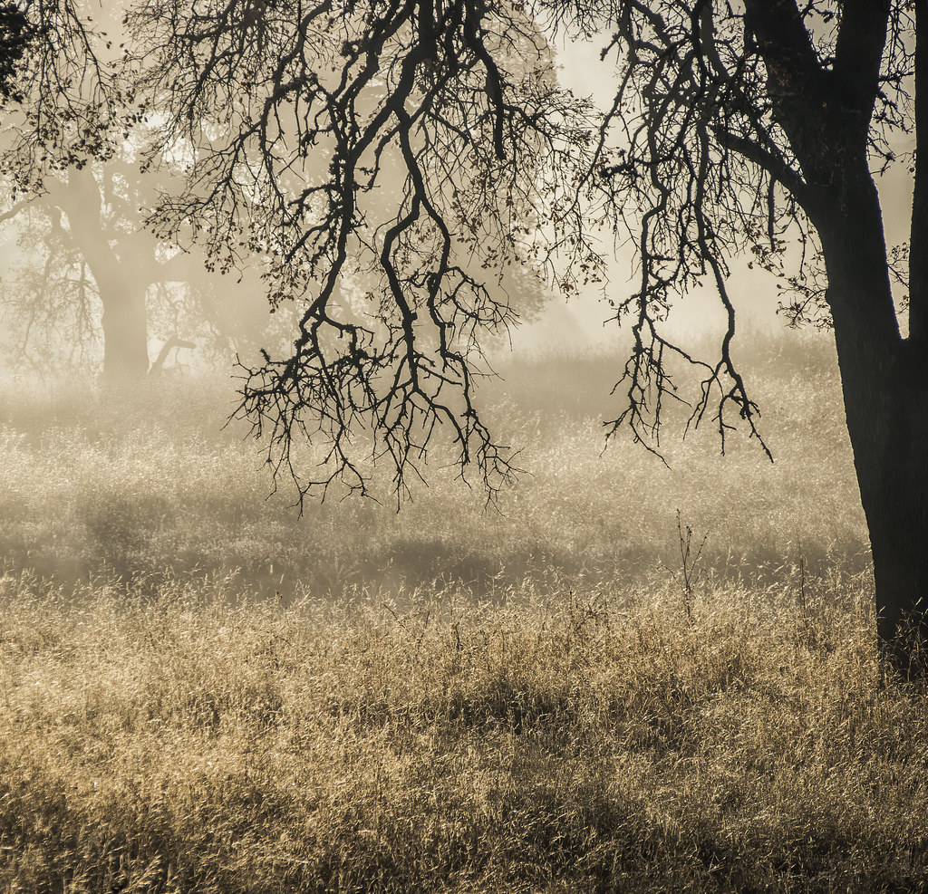
#2 Oaks in Sunrise Fog, Cathy's Valley, CA 140
2009 Cali Road Trip - 130
I'll paint a better picture of the woods with you in it.
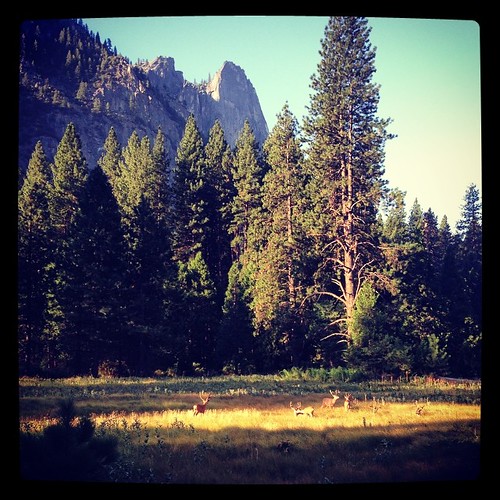
I was treated to a herd of mule deer hanging out this morning in Yosemite.
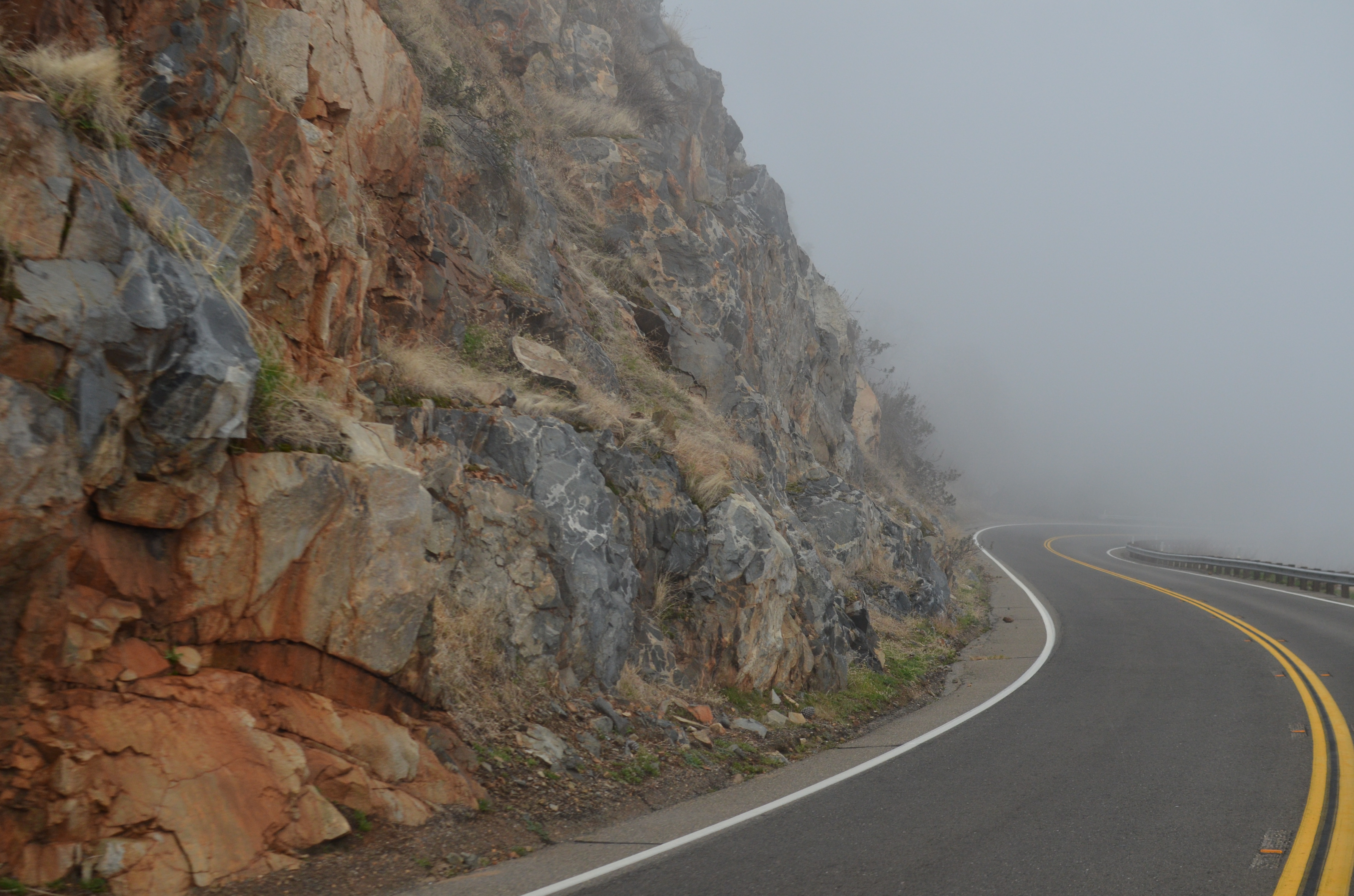
Curves Hwy.49
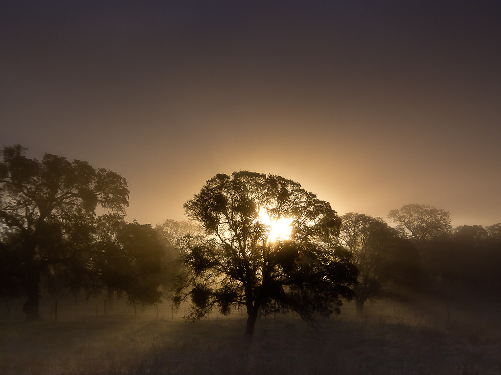
Oaks in Sunrise Fog, Cathy's Valley, CA 140 (redo)

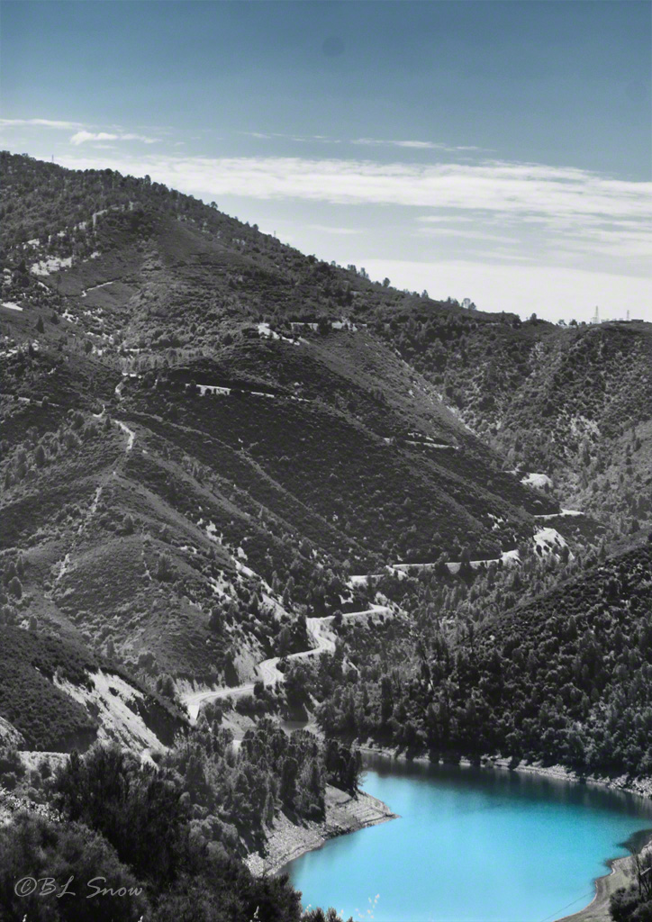
Flowing Water
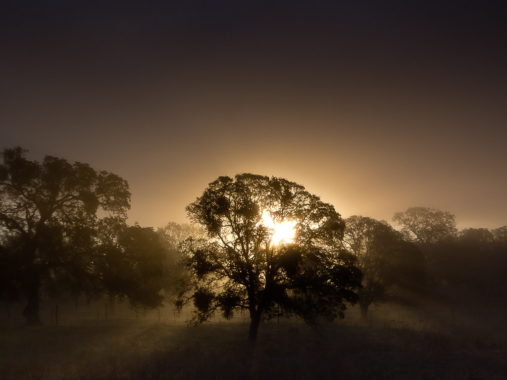
Oaks in Sunrise Fog, Catheys Valley, CA 140
In the Foothills, Merced County, #2

Hornitos Road Oak, Fog #2
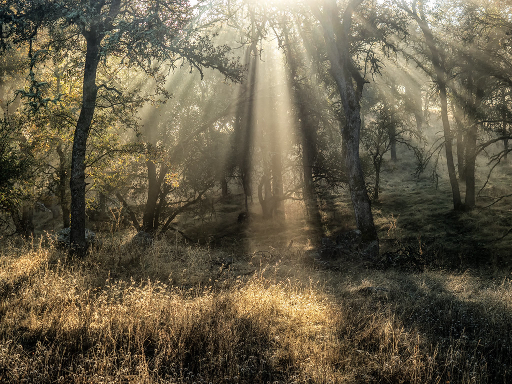
Hornitos Road, Morning in the Forest

USA Best Of - 136
USA Best Of - 137
Sometimes we need the fog to remind ourselves that all of life is not black and white…
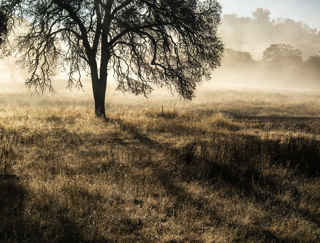
Hornitos Road Oak, Fog #1

USA Best Of - 227
USA Best Of - 194

USA Best Of - 141
Topographic Map of Guadalupe Creek Rd, Mariposa, CA, USA
Find elevation by address:

Places near Guadalupe Creek Rd, Mariposa, CA, USA:
Meherana
4456 Mt Bullion Cut Off Rd
3269 Ca-140
4049 Guadalupe Creek Rd
4078 Live Oak Rd
Agua Fria
4955 Yaqui Gulch Rd
4576 Jeannine Ln
4990 Yaqui Gulch Rd
4857 Yaqui Gulch Rd
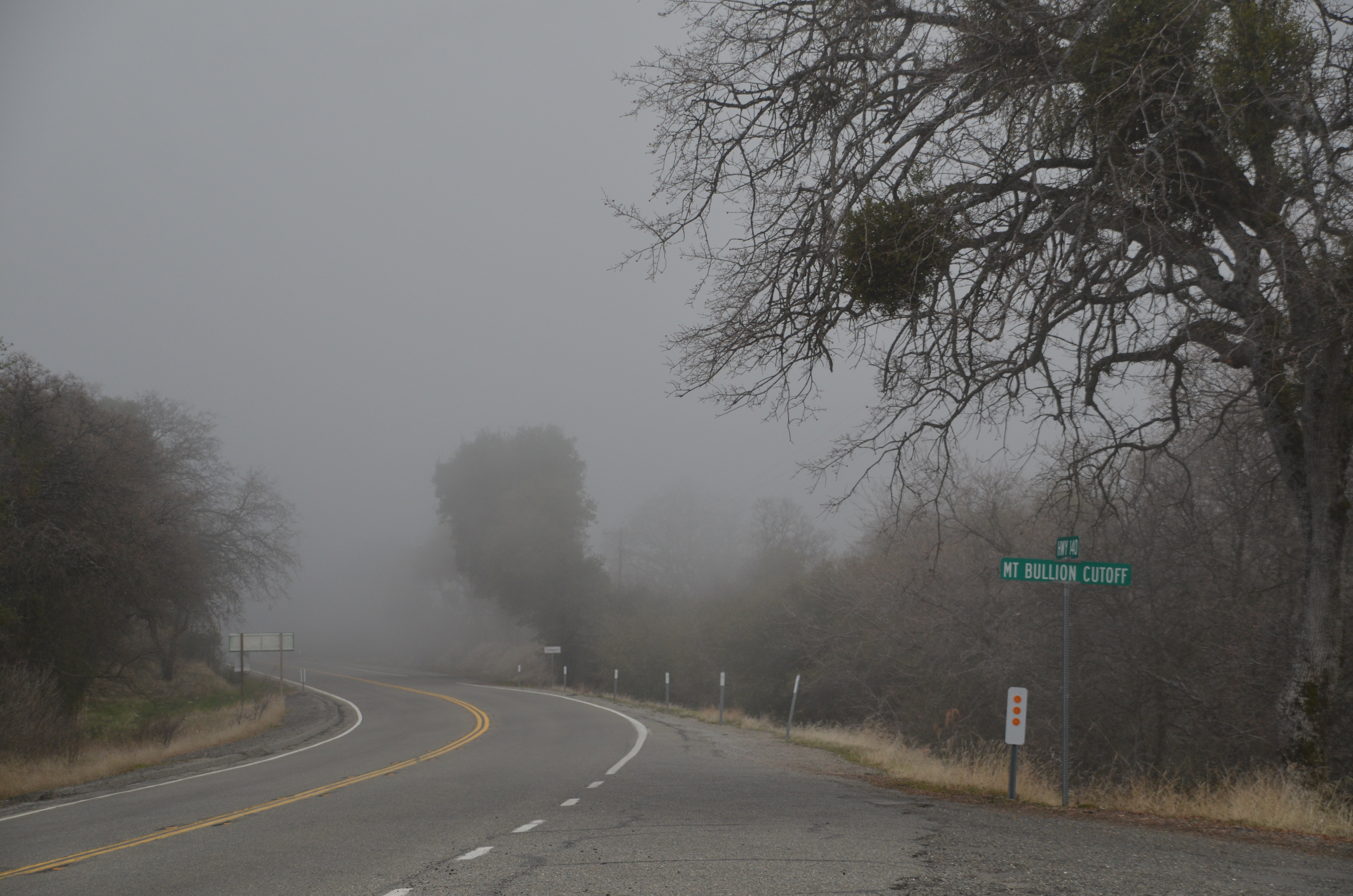
Mt Bullion Cutoff Rd, Mariposa, CA, USA
4974 Princeton Way
4158 Lakeview Dr
4558 Yaqui Gulch Rd
4922 Paso Del Oso
5586 Ca-49 #5586a
5630 Bear Trap Dr
4394 Burl Dr
4390 Burl Dr
Bumguardner Mountain Road
Recent Searches:
- Elevation of Corso Fratelli Cairoli, 35, Macerata MC, Italy
- Elevation of Tallevast Rd, Sarasota, FL, USA
- Elevation of 4th St E, Sonoma, CA, USA
- Elevation of Black Hollow Rd, Pennsdale, PA, USA
- Elevation of Oakland Ave, Williamsport, PA, USA
- Elevation of Pedrógão Grande, Portugal
- Elevation of Klee Dr, Martinsburg, WV, USA
- Elevation of Via Roma, Pieranica CR, Italy
- Elevation of Tavkvetili Mountain, Georgia
- Elevation of Hartfords Bluff Cir, Mt Pleasant, SC, USA