Elevation of Grimstead, Gwynn, VA, USA
Location: United States > Virginia > Mathews County > Piankatank > Gwynn >
Longitude: -76.301428
Latitude: 37.500268
Elevation: 3m / 10feet
Barometric Pressure: 101KPa
Elevation Map:
Satellite Map:
Related Photos:
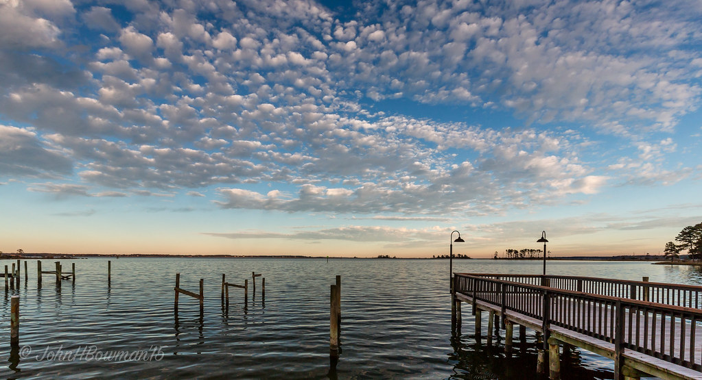
"Popcorn" Sky
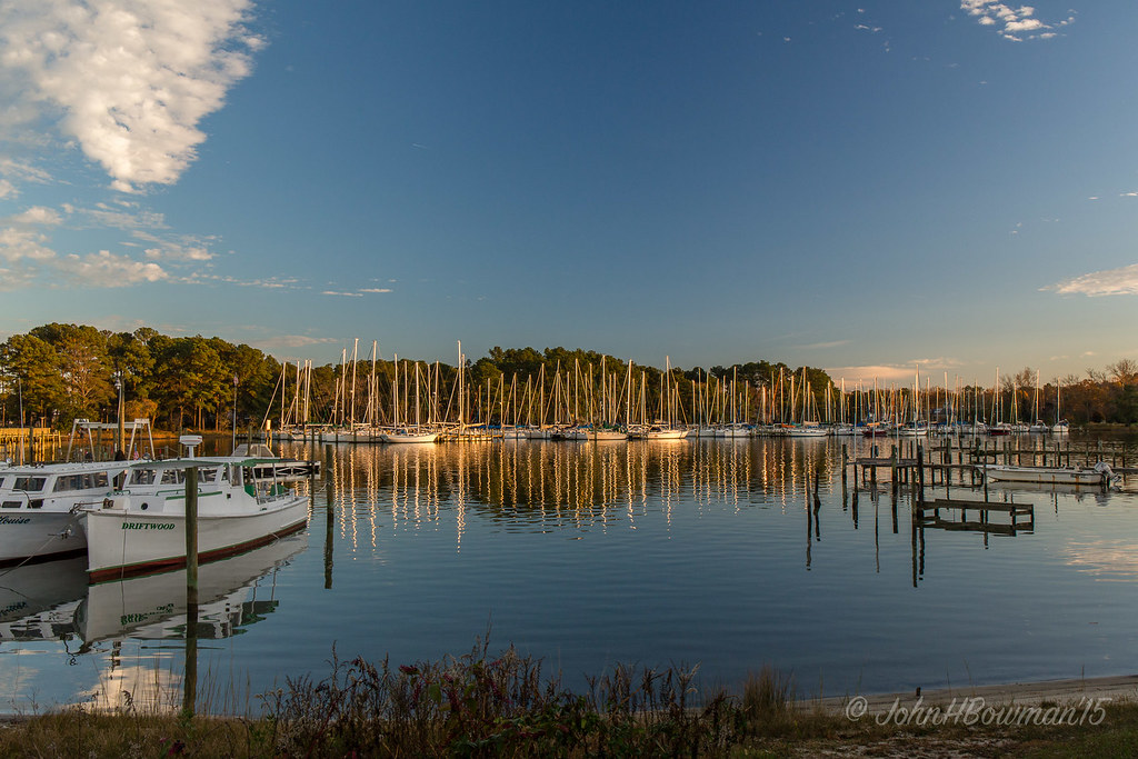
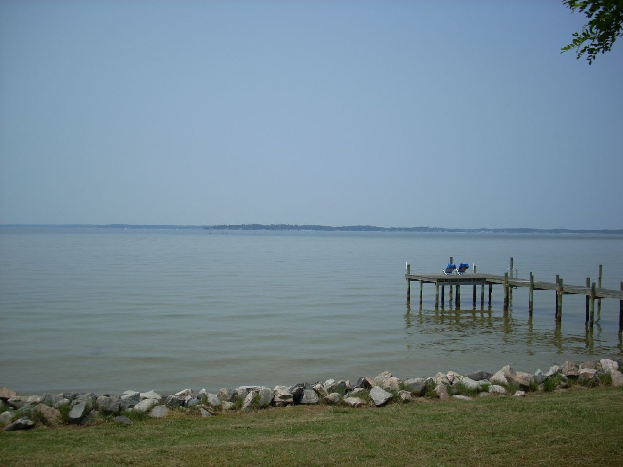
View from Lighthouse - Stingray Point Marina
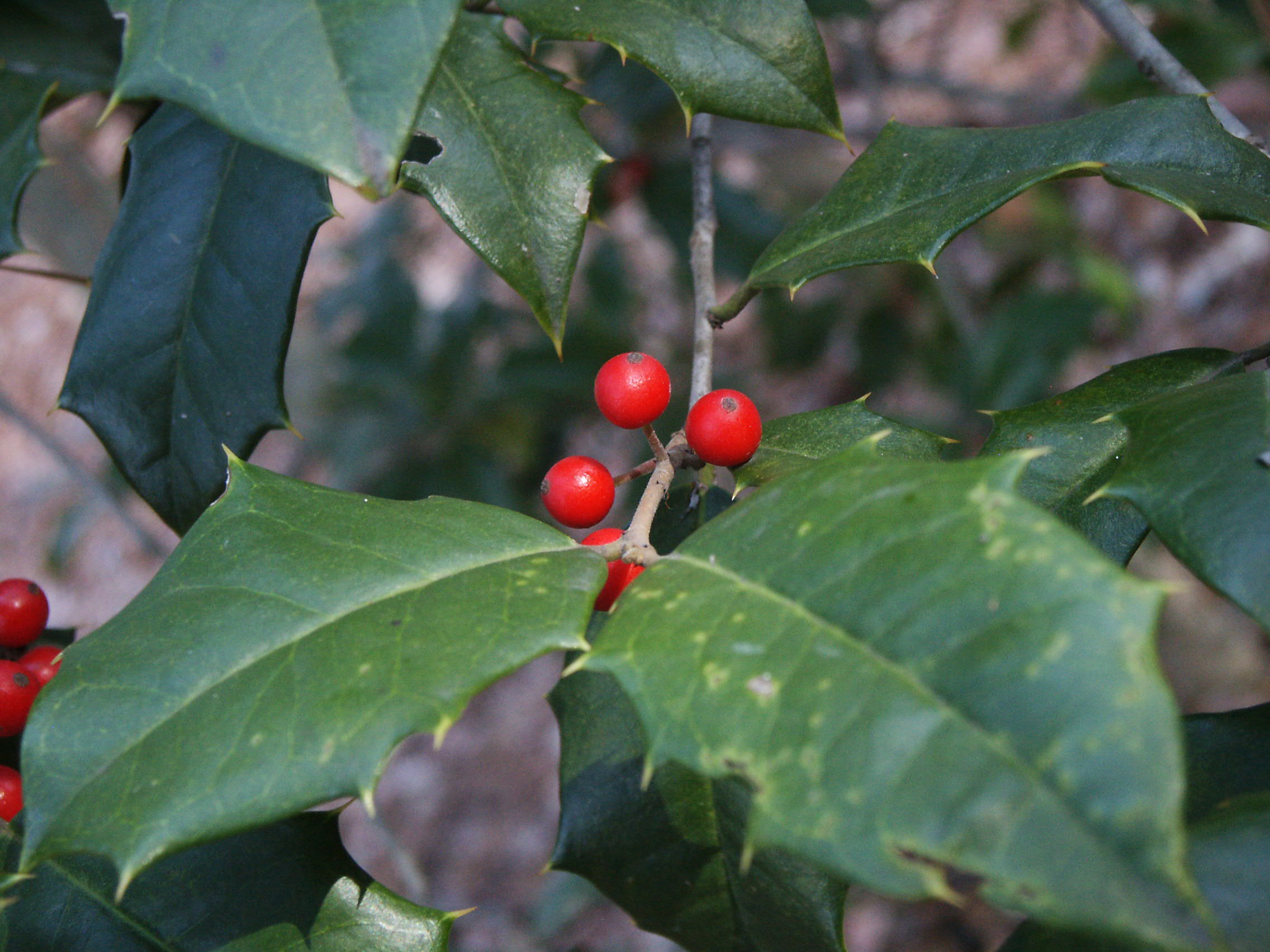
Holly and berries
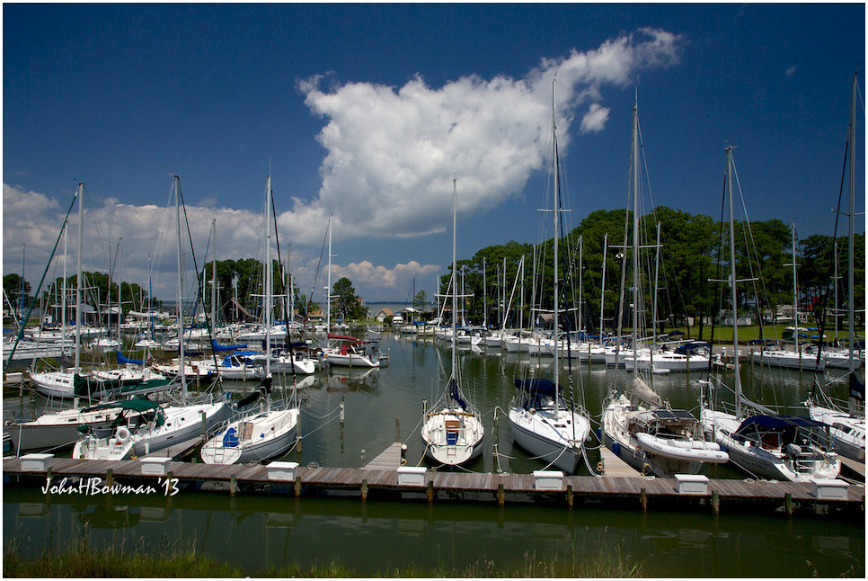
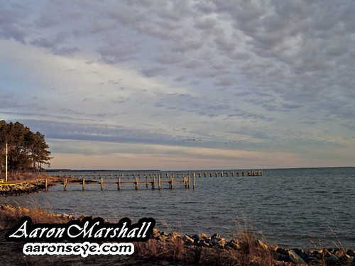
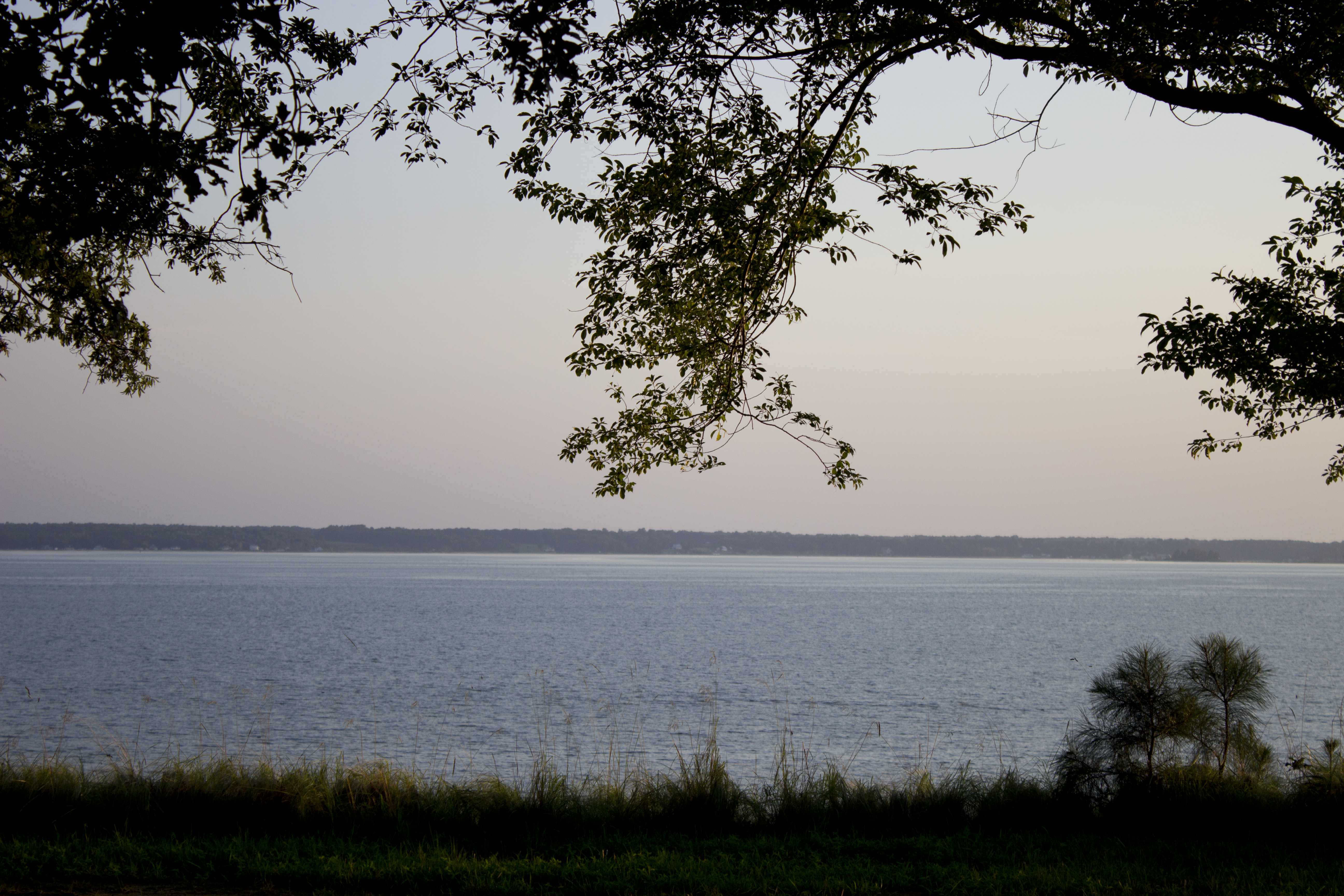
Locklies Marina, Near Chesapeake Bay
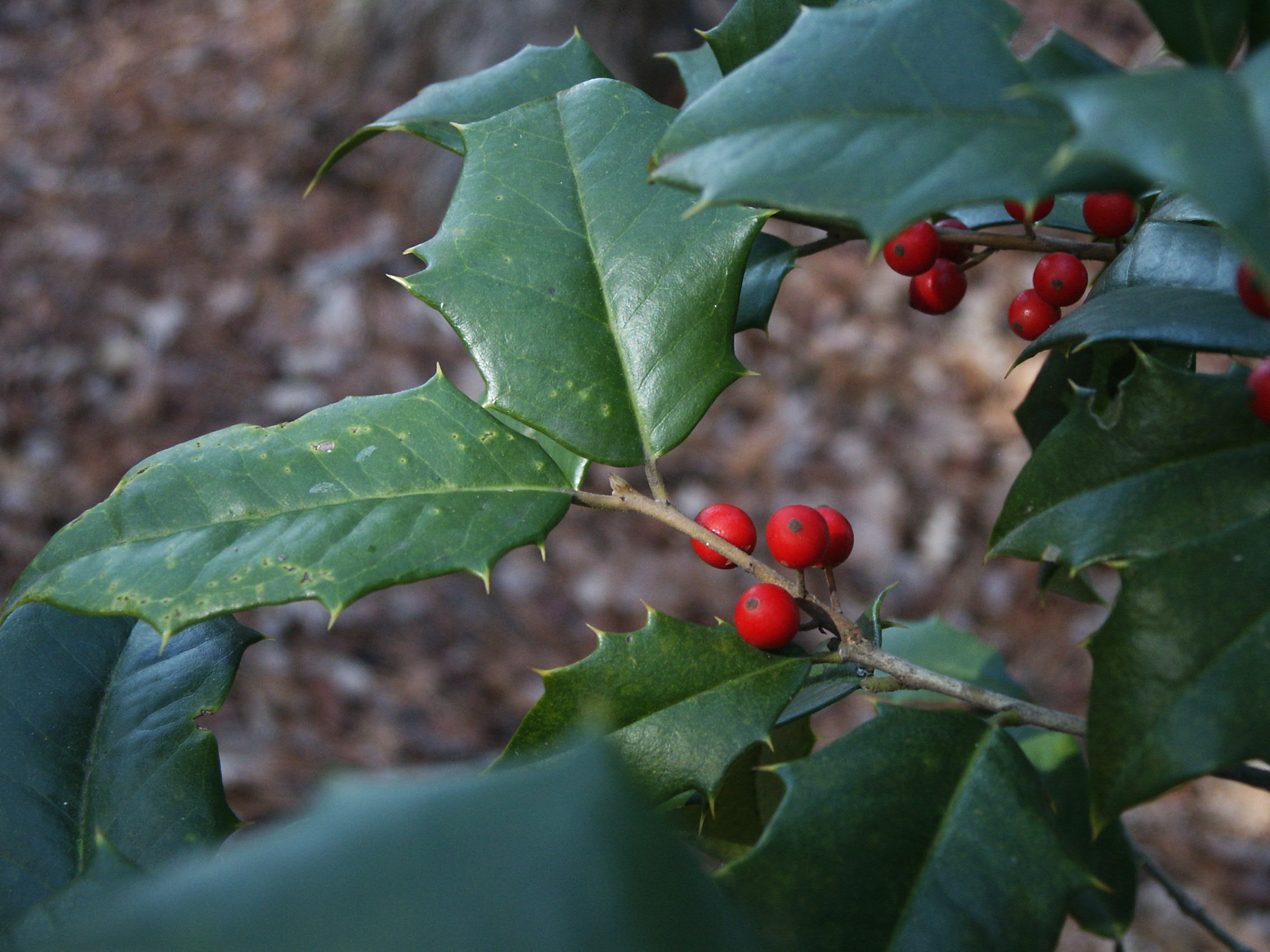
Holly and berries
nice view

Rappahannock River Oyster Company in Topping, Va.

getting the view
Uninstalled Twitter app from my phone on Friday to enjoy this view with friends & their families.... Surprisingly enough I survived! Happy to be back on Twitter but catching up on notifications might take some time..... Hope everyone is having an amazi
view of Antipoison Creek
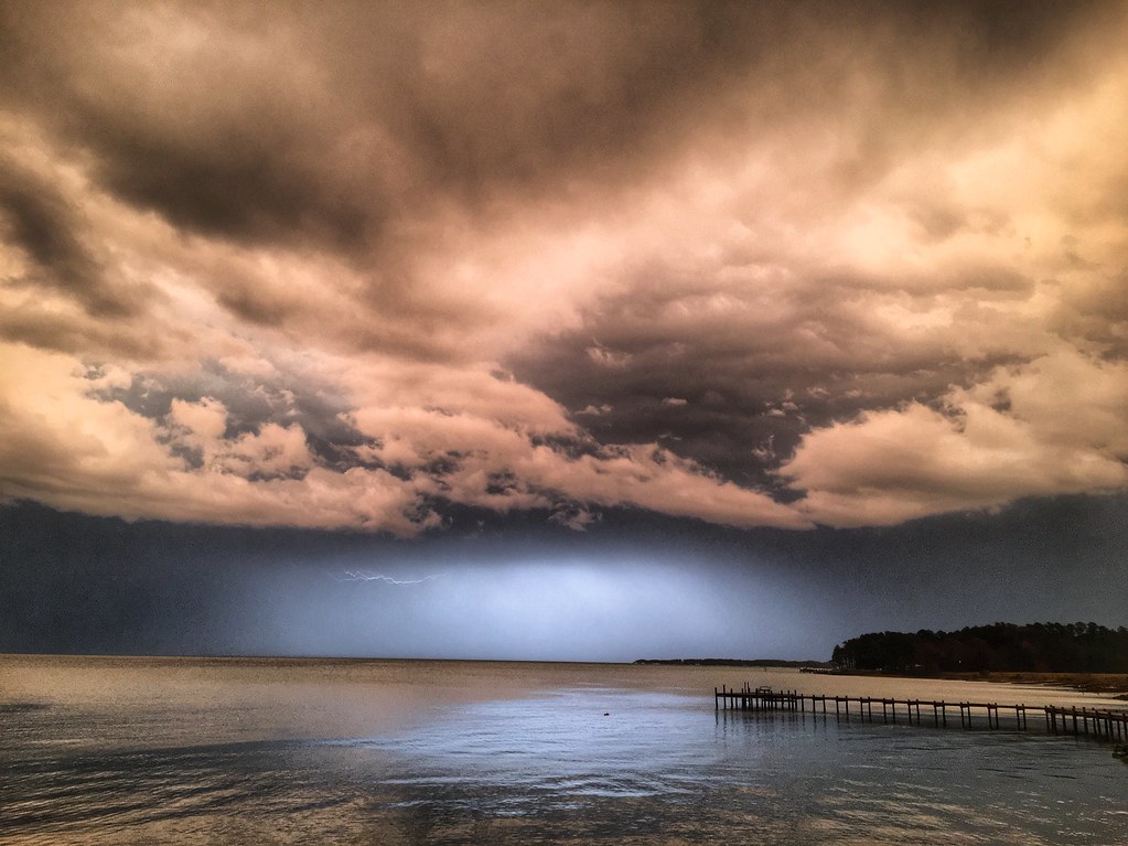
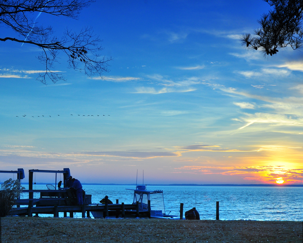
Storm over Chesapeake Bay from Godfrey Bay, Mathews County Virginia 5:58 p.m. 2/25/17

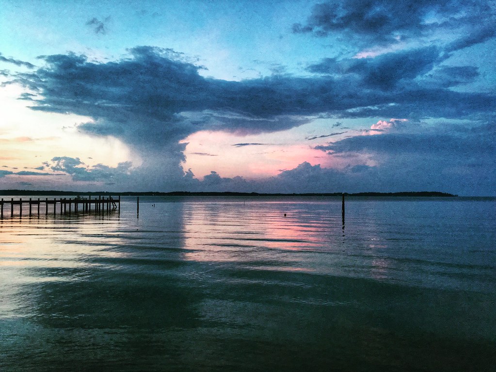
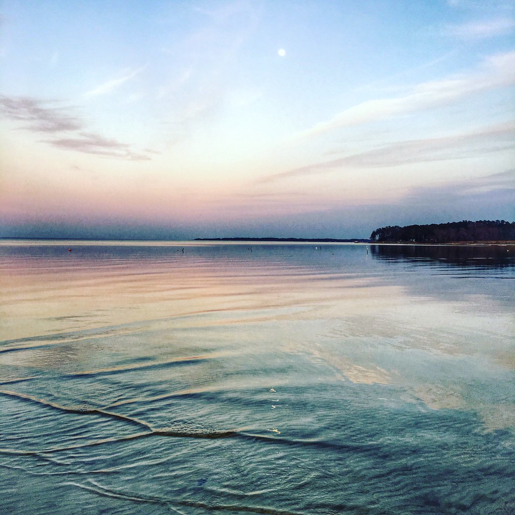
Sunset on Sturgeon Creek - Deltaville, VA
Finally [Explored!]
DSC03177 w

Locklies Creek, Topping Virginia 7:20 p.m. 6/10/16

Storm Off Stingray Point
Stingray point
DSC03185 w
Stormy: Godfrey Bay, Mathews County Virginia. 8:45 p.m. 7/8/16

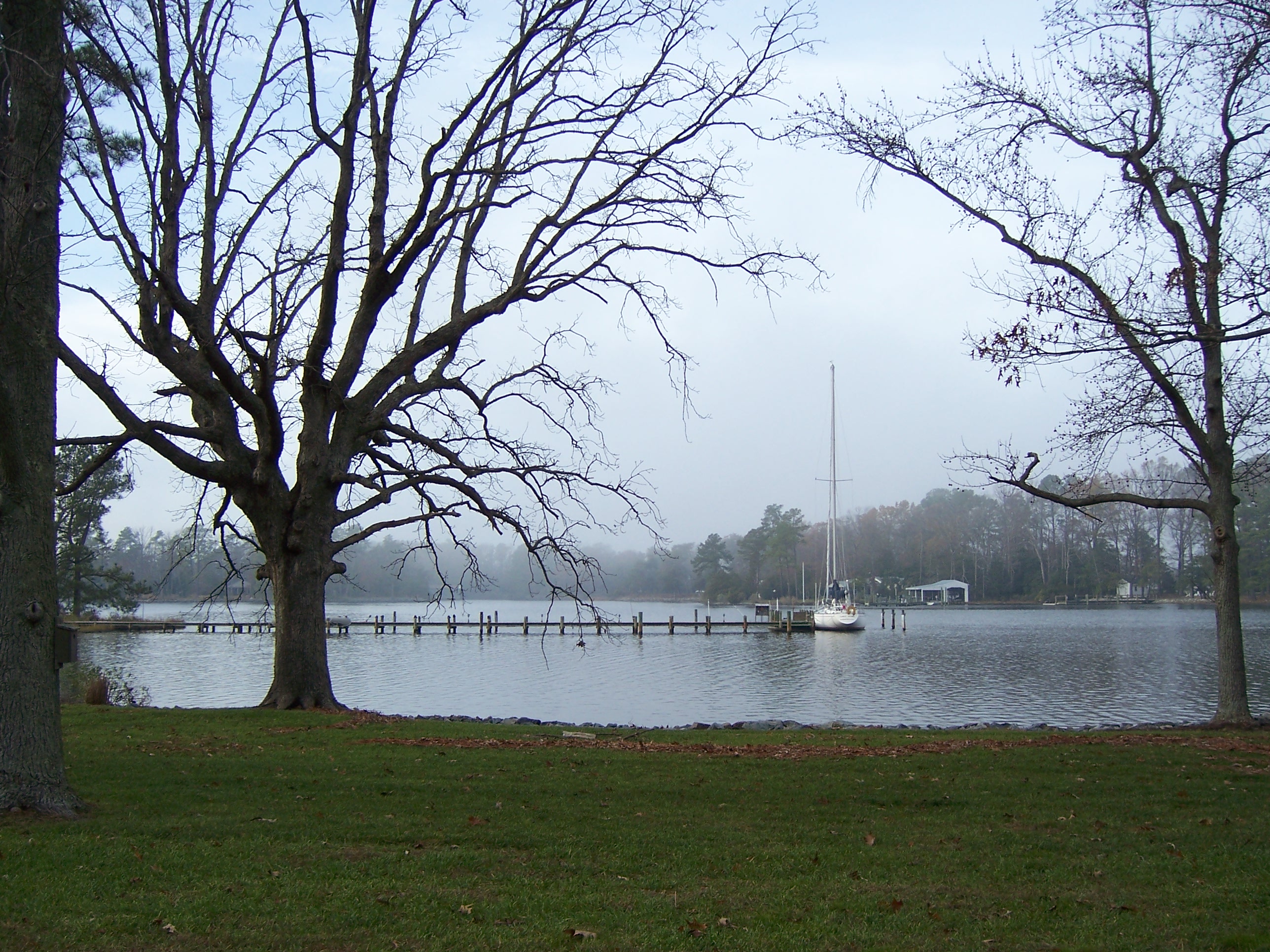
Sturgeon Creek
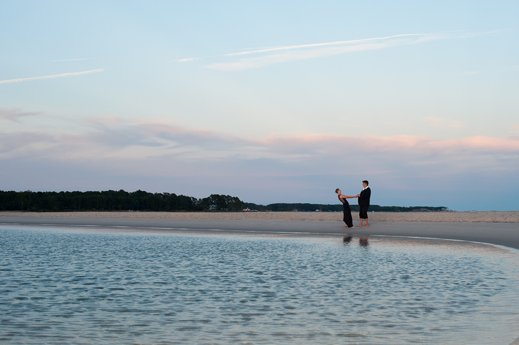
Marston Engagement Shoot
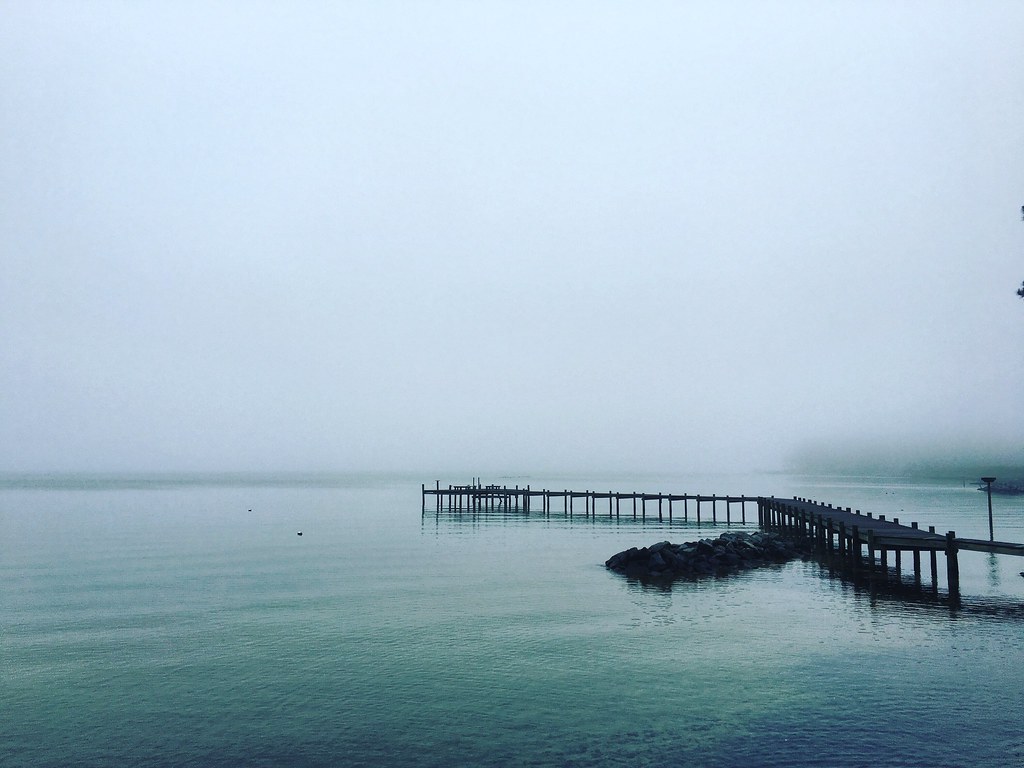
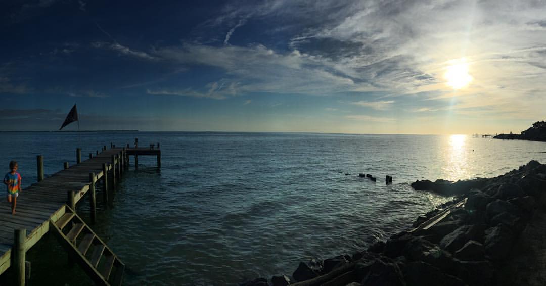
Piering Into the Mist

This Morning. Godfrey Bay, Cobbs Creek Virginia. 5:35 a.m. 7/9/16
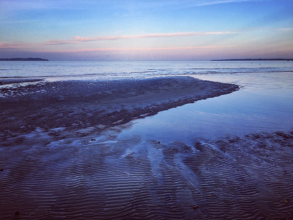
Low Tide at Hallieford Beach, Piankatank River, Mathews Virginia 4:30 p.m. 11/28/15
Godfrey Bay, Cobbs Creek Virginia 5:44 p.m. 2/20/16
DSC_0113 crop2

Fishing Bay, Deltaville, VA
At Dusk
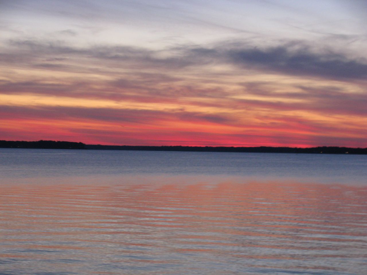
amazing colors
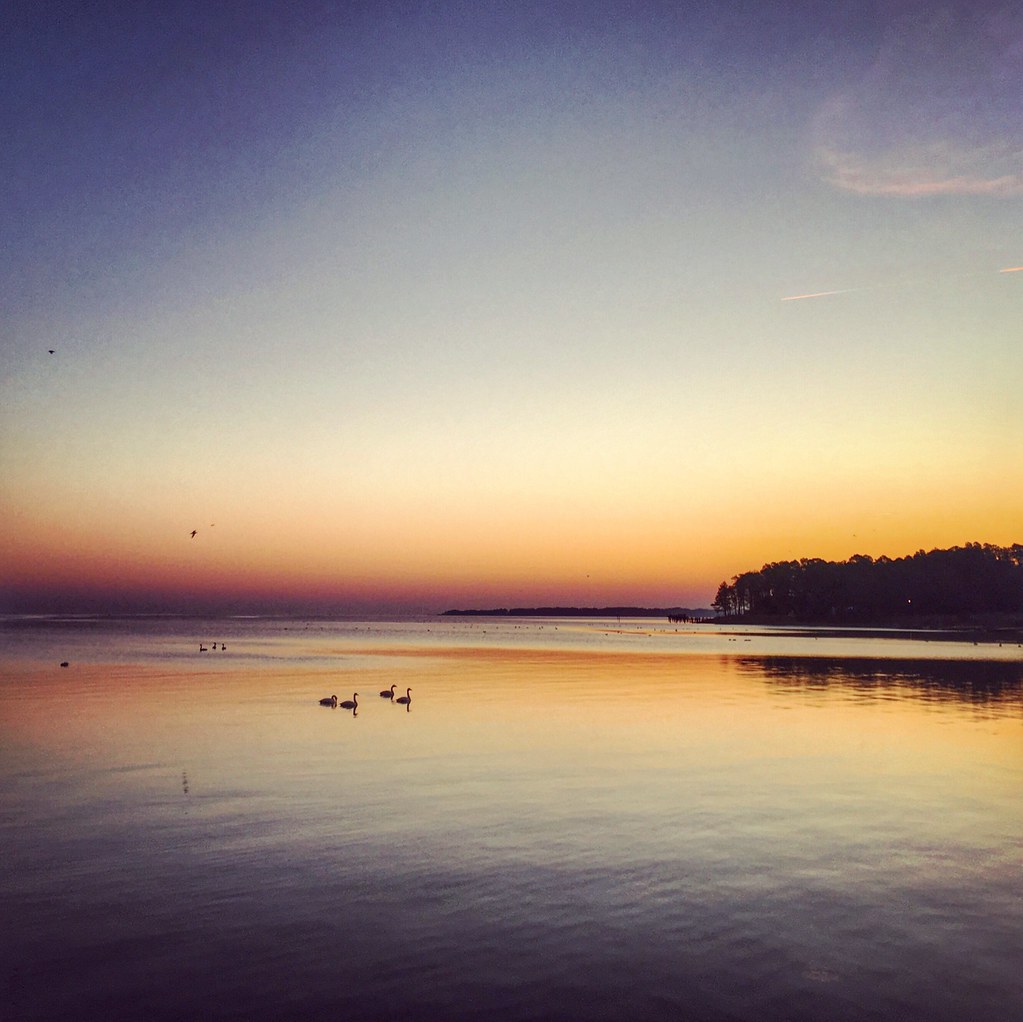
Sunday Sunrise

Rappahannock River Oyster Company in Topping, Va.
Topographic Map of Grimstead, Gwynn, VA, USA
Find elevation by address:

Places in Grimstead, Gwynn, VA, USA:
Places near Grimstead, Gwynn, VA, USA:
Rose Lane
636 State Rte 636
Gwynn
Starkwood Ln, Hallieford, VA, USA
271 Oak Point Rd
Hudgins
24 Cricket Hill Rd, Hudgins, VA, USA
168 State Rte 674
1562 Pine Hall Rd
1737 Fitchetts Wharf Rd
791 Stove Point Rd
86 N Chesapeake Blvd
14 Cardinal Trail
3 Cardinal Trail
Cardinal Trail
395 Gillim Rd
89 S Chesapeake Blvd
High School Drive
Queens Cove Lane
10 S Chesapeake Blvd
Recent Searches:
- Elevation of Corso Fratelli Cairoli, 35, Macerata MC, Italy
- Elevation of Tallevast Rd, Sarasota, FL, USA
- Elevation of 4th St E, Sonoma, CA, USA
- Elevation of Black Hollow Rd, Pennsdale, PA, USA
- Elevation of Oakland Ave, Williamsport, PA, USA
- Elevation of Pedrógão Grande, Portugal
- Elevation of Klee Dr, Martinsburg, WV, USA
- Elevation of Via Roma, Pieranica CR, Italy
- Elevation of Tavkvetili Mountain, Georgia
- Elevation of Hartfords Bluff Cir, Mt Pleasant, SC, USA