Elevation of 3 Cardinal Trail, Deltaville, VA, USA
Location: United States > Virginia > Middlesex County > Pine Top > Deltaville >
Longitude: -76.303517
Latitude: 37.5521618
Elevation: 1m / 3feet
Barometric Pressure: 101KPa
Elevation Map:
Satellite Map:
Related Photos:

"Popcorn" Sky

Window with a View-Southwind Pizza-Mathews Virginia 1755

Godfrey Bay on the Piankatank River
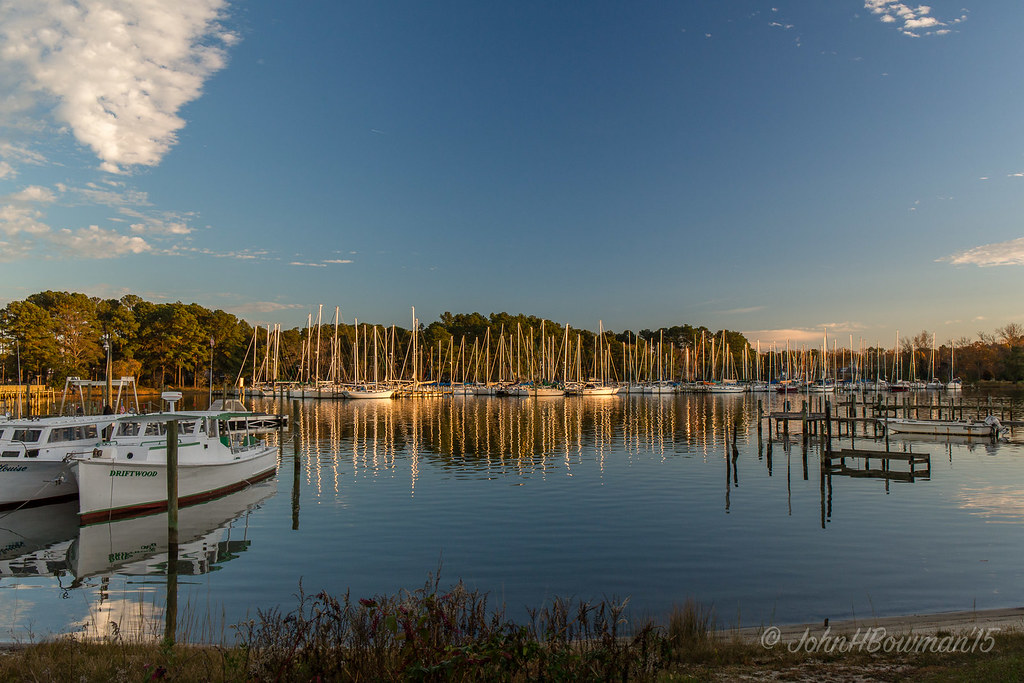
Locklies Marina, Near Chesapeake Bay

View from Lighthouse - Stingray Point Marina

Waterside Dining

2014.09.02 195K Views
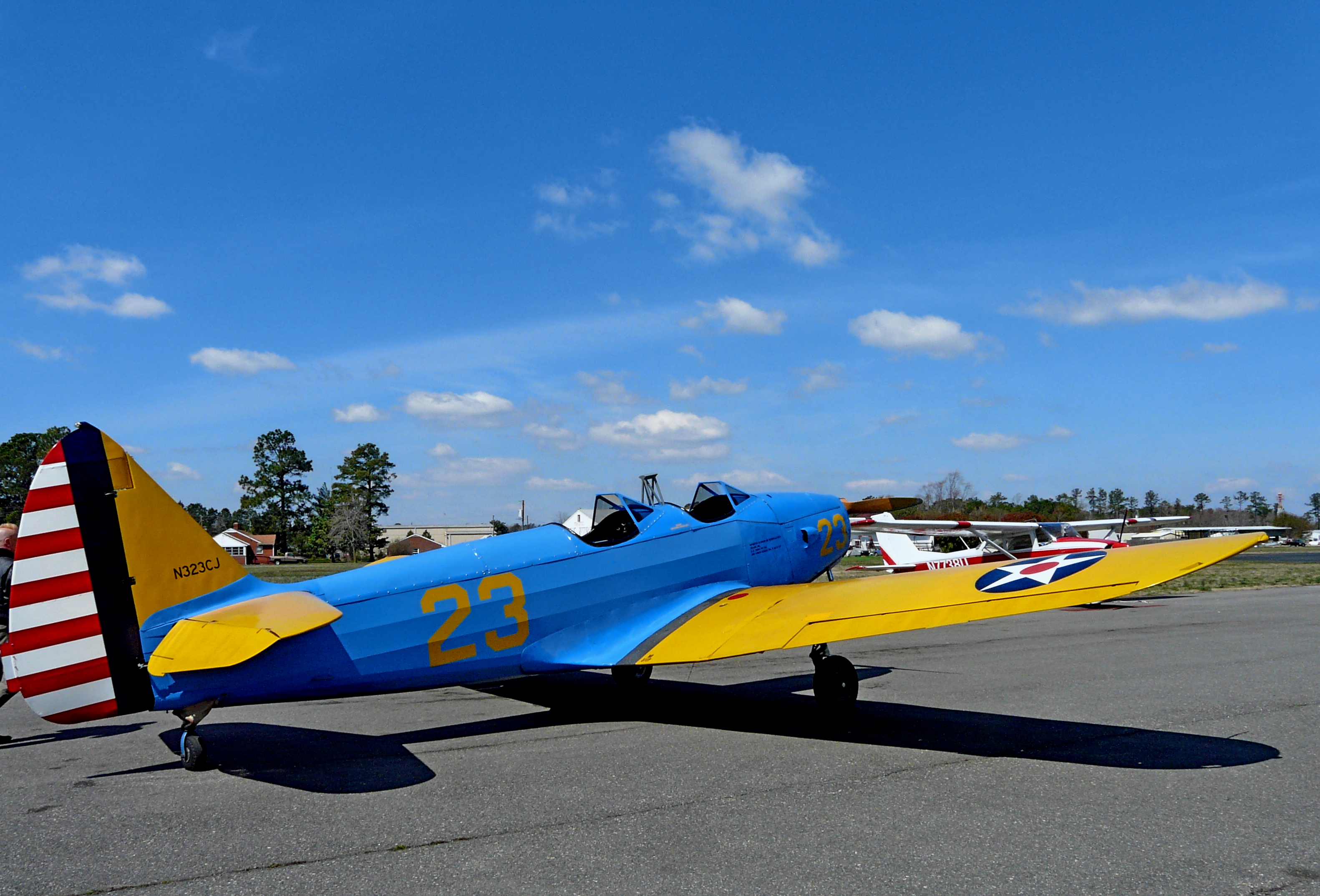
1943 Fairchild PT-19

The "Miss Washington"

Symmetrical Bedroom

Holly and berries
view of Antipoison Creek

Rappahannock River Oyster Company in Middlesex County, Va.

Uninstalled Twitter app from my phone on Friday to enjoy this view with friends & their families.... Surprisingly enough I survived! Happy to be back on Twitter but catching up on notifications might take some time..... Hope everyone is having an amazi

Big Weather over the Chesapeake Bay of Virginia. From Godfrey Bay, Mathews County. 7:26 a.m. April 13, 2019

Finally [Explored!]

Bridge crossing Milford Haven to Gwynn's Island
The Getaway

Storm over Chesapeake Bay from Godfrey Bay, Mathews County Virginia 5:58 p.m. 2/25/17

Godfrey Bay, Cobbs Creek Virginia 5:44 p.m. 2/20/16

Stingray point

Locklies Creek, Topping Virginia 7:20 p.m. 6/10/16

Sunset on Sturgeon Creek - Deltaville, VA

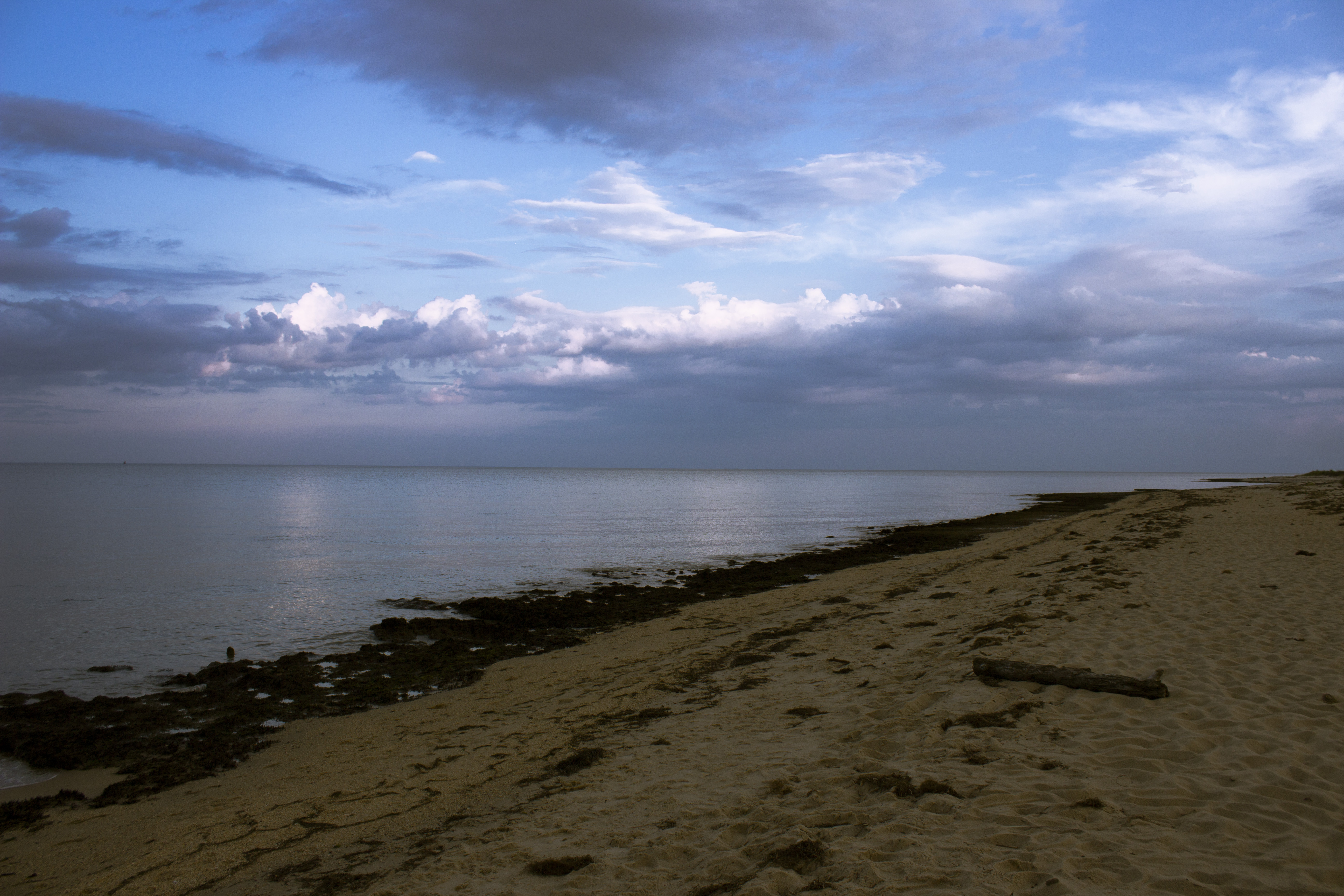
Low Tide at Hallieford Beach, Piankatank River, Mathews Virginia 4:30 p.m. 11/28/15

Sturgeon Creek

DSC03177 w

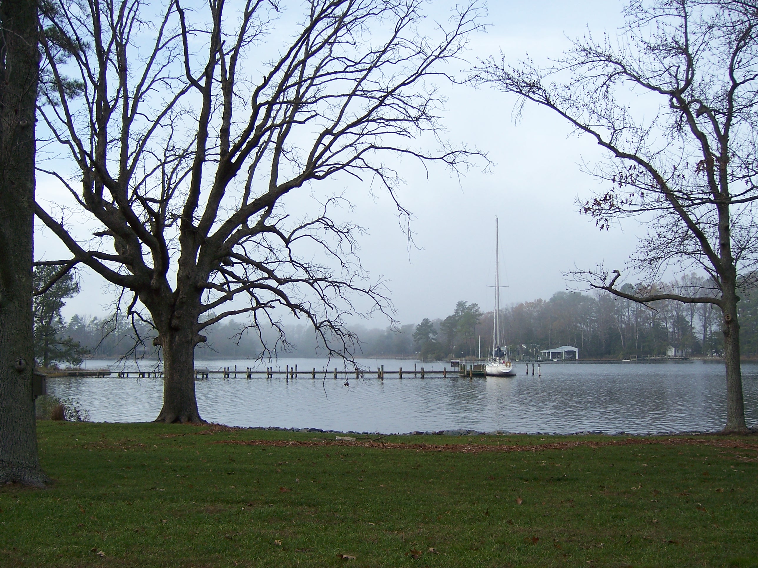
Piering Into the Mist

Lonely bench

Storm Off Stingray Point

Stormy: Godfrey Bay, Mathews County Virginia. 8:45 p.m. 7/8/16

Sunday Sunrise

Godfrey Bay at Misti Cove, Mathews County Virginia 6:53 a.m. 11/28/15

amazing colors

rappahannock sunset
Topographic Map of 3 Cardinal Trail, Deltaville, VA, USA
Find elevation by address:

Places near 3 Cardinal Trail, Deltaville, VA, USA:
14 Cardinal Trail
Cardinal Trail
395 Gillim Rd
86 N Chesapeake Blvd
89 S Chesapeake Blvd
10 S Chesapeake Blvd
Gull Cove Lane
791 Stove Point Rd
Deltaville
Gwynn
Rose Lane
Riverbank Drive
Grimstead
254 Moores Creek Dr
636 State Rte 636
Starkwood Ln, Hallieford, VA, USA
168 State Rte 674
Queens Cove Lane
Hudgins
24 Cricket Hill Rd, Hudgins, VA, USA
Recent Searches:
- Elevation of Corso Fratelli Cairoli, 35, Macerata MC, Italy
- Elevation of Tallevast Rd, Sarasota, FL, USA
- Elevation of 4th St E, Sonoma, CA, USA
- Elevation of Black Hollow Rd, Pennsdale, PA, USA
- Elevation of Oakland Ave, Williamsport, PA, USA
- Elevation of Pedrógão Grande, Portugal
- Elevation of Klee Dr, Martinsburg, WV, USA
- Elevation of Via Roma, Pieranica CR, Italy
- Elevation of Tavkvetili Mountain, Georgia
- Elevation of Hartfords Bluff Cir, Mt Pleasant, SC, USA