Elevation of Moores Creek Dr, Deltaville, VA, USA
Location: United States > Virginia > Middlesex County > Pine Top > Deltaville >
Longitude: -76.357713
Latitude: 37.5483514
Elevation: 6m / 20feet
Barometric Pressure: 101KPa
Elevation Map:
Satellite Map:
Related Photos:

Window with a View-Southwind Pizza-Mathews Virginia 1755

Morning Fog

View from Lighthouse - Stingray Point Marina

Godfrey Bay on the Piankatank River

Aged stone - Christ Church

nice view

getting the view

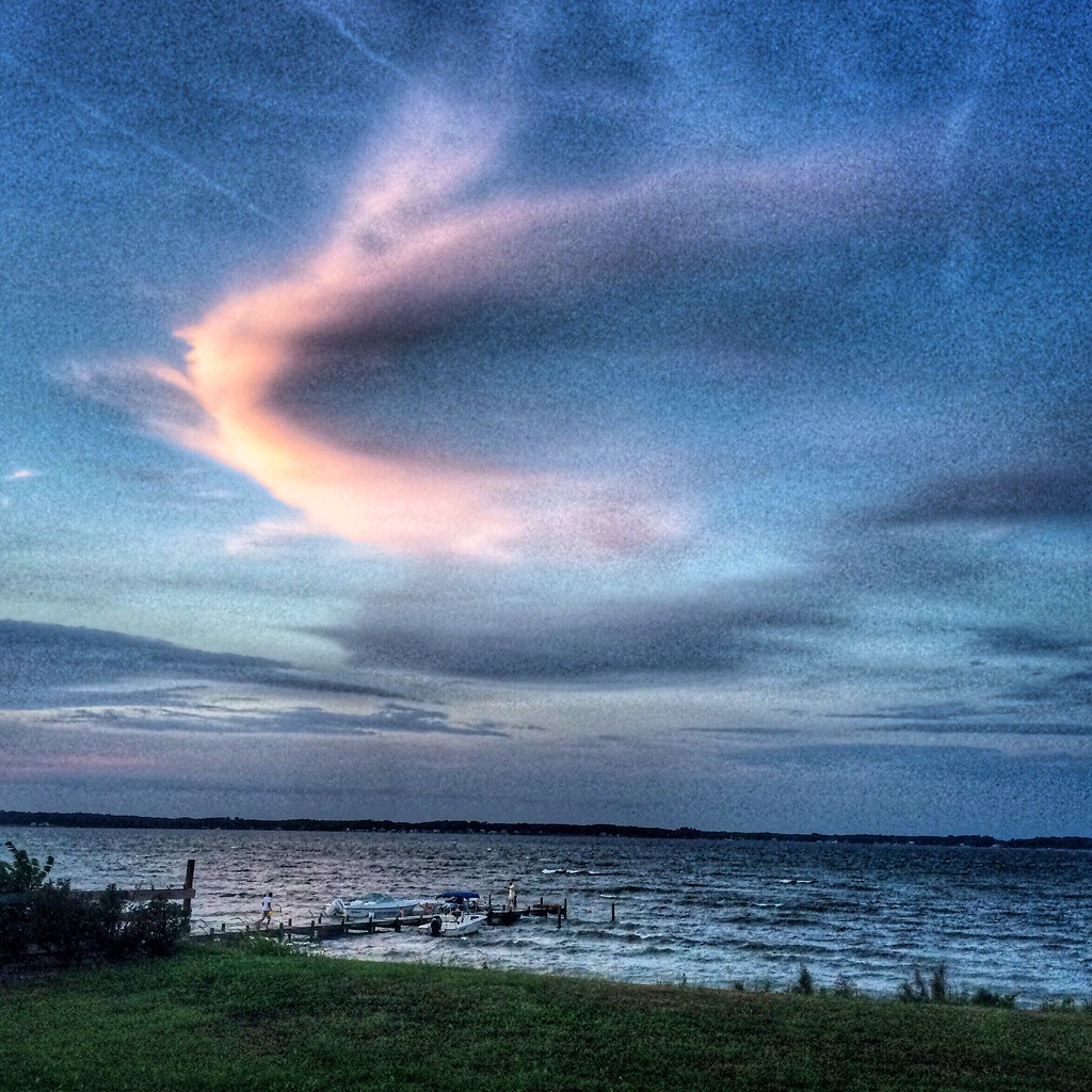
"Popcorn" Sky

Oyster Pier & Merroir "Tasting Room"
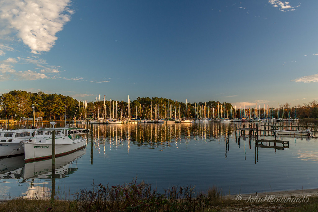
Locklies Marina, Near Chesapeake Bay

Waterside Dining
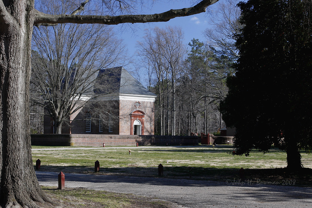
Wooded setting of Christ Church

Brick wall detail - Christ Church

Gated brick wall - Christ Church

Defaced bricks - Christ Church

Aisle & doorway - Christ Church

Aisle & altar - Christ Church

Pew box detail - Christ Church

Baptismal font - Christ Church

Tri-level pulpit - Christ Church

Pilot Michael...

Piering Into the Mist

Godfrey Bay, Cobbs Creek Virginia 5:44 p.m. 2/20/16

Swans at Dawn on the Piankatank River near the Chesapeake Bay, Mathews County Virginia. 7:23 a.m. 12/30/16

Locklies Creek, Topping Virginia 7:20 p.m. 6/10/16

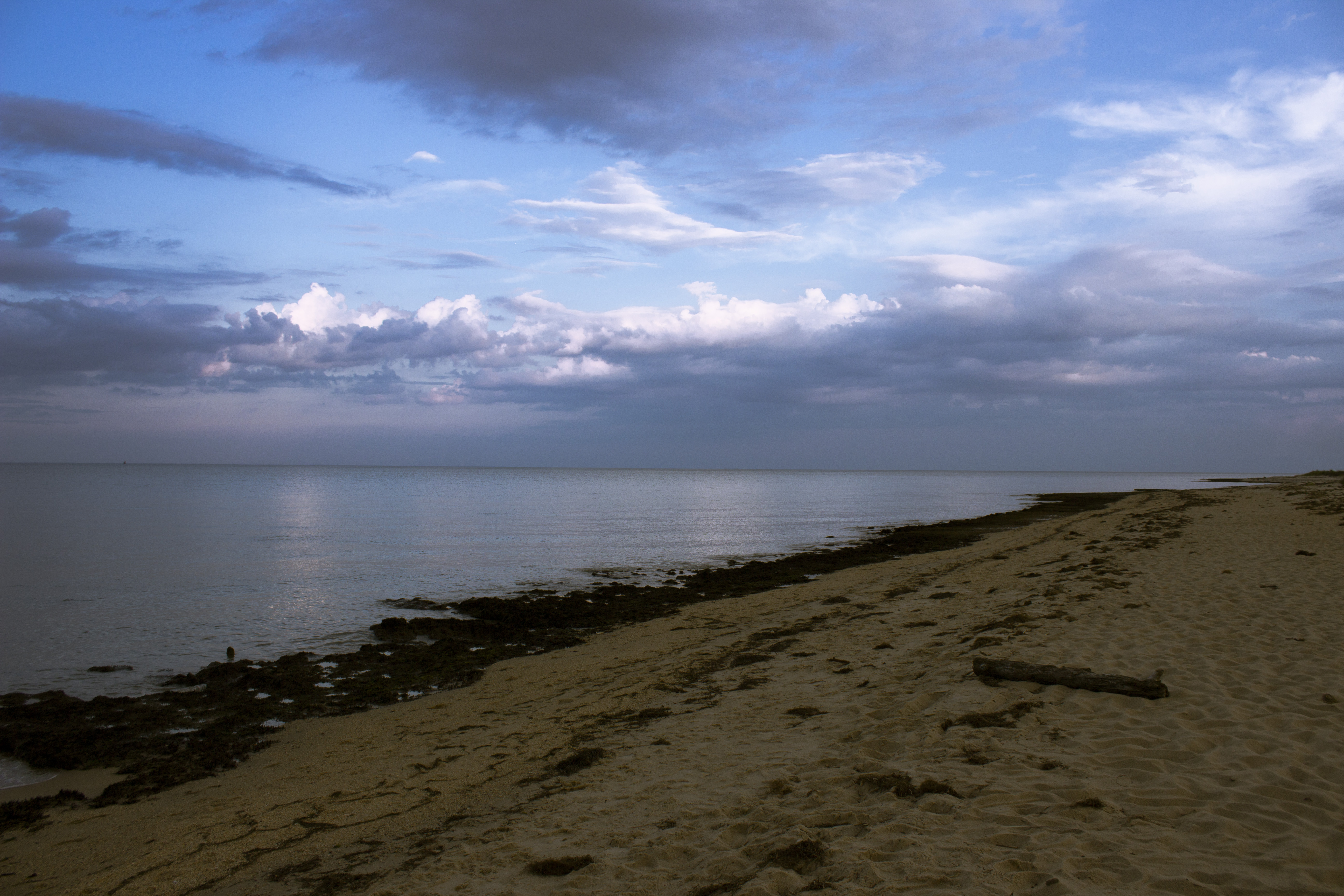
Low Tide at Hallieford Beach, Piankatank River, Mathews Virginia 4:30 p.m. 11/28/15

Big Weather over the Chesapeake Bay of Virginia. From Godfrey Bay, Mathews County. 7:26 a.m. April 13, 2019

Finally [Explored!]

Godfrey Bay at Misti Cove, Mathews County Virginia 6:53 a.m. 11/28/15
School Is In-Gwynn's Island-Mathews County VA 03928
The Getaway

King William County, Va.

Summer's Last Saturday at Godfrey Bay, Cobbs Creek Virginia 6:46 p.m. 9/17/16

November Dawns
Boat Dock on Gwynn's Island

Stingray point
Godfrey Bay, Mathews County Virginia 7:33 p.m. 9/5/15

Sturgeon Creek

Time to Head Home

Beautiful Day on the Piankatank River Virginia 6:07 a.m. 4/17/16

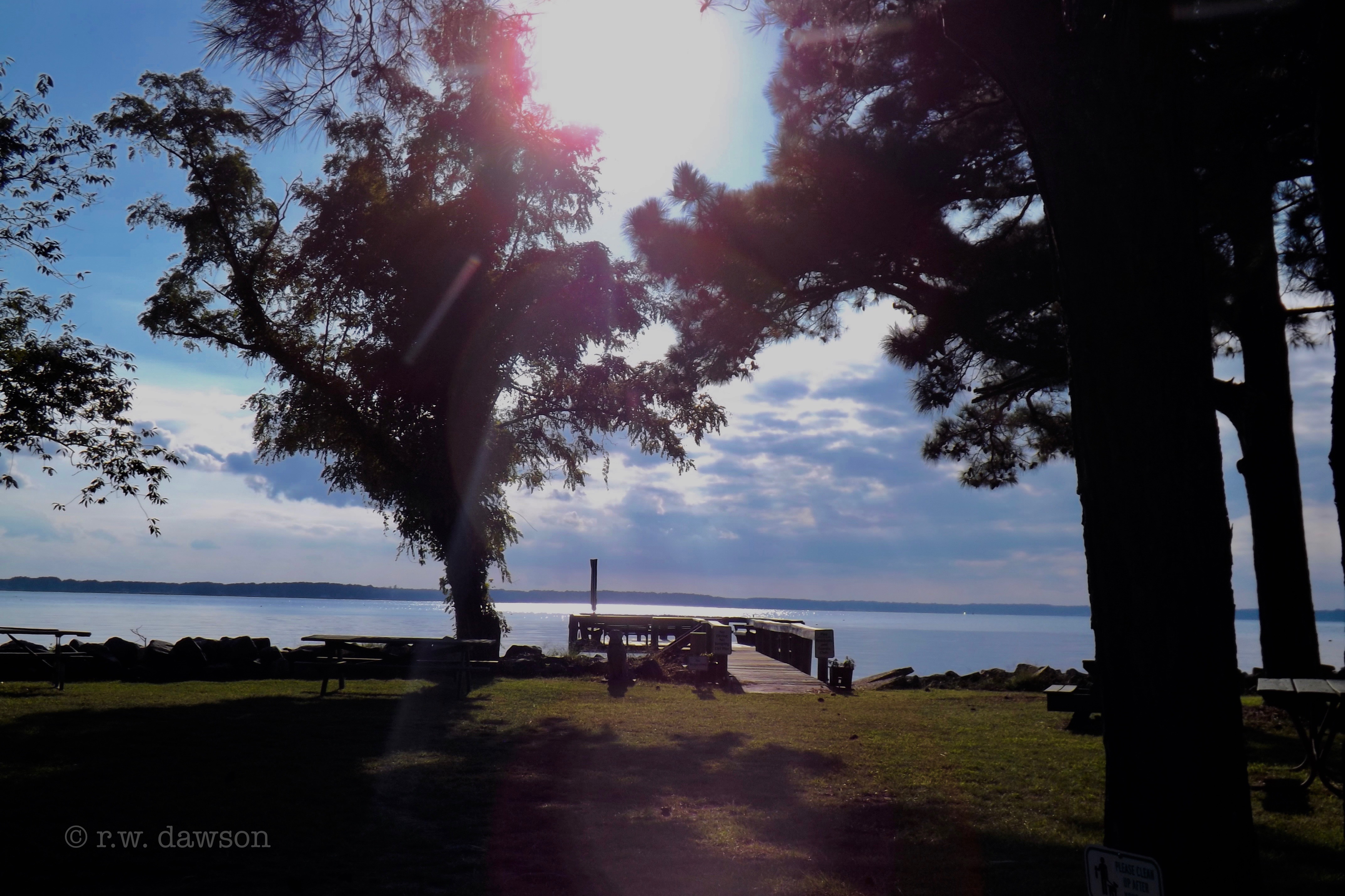
Piankatank Pier
Topographic Map of Moores Creek Dr, Deltaville, VA, USA
Find elevation by address:

Places near Moores Creek Dr, Deltaville, VA, USA:
Deltaville
Riverbank Drive
Gull Cove Lane
791 Stove Point Rd
1538 Ebenezer Church Rd
95 Hudgins Point Ln
Old Cove Road
86 N Chesapeake Blvd
3 Cardinal Trail
14 Cardinal Trail
395 Gillim Rd
Cardinal Trail
Starkwood Ln, Hallieford, VA, USA
Cobbs Creek
89 S Chesapeake Blvd
10 S Chesapeake Blvd
168 State Rte 674
Queens Cove Lane
1952 Wilton Creek Rd
6058 Buckley Hall Rd
Recent Searches:
- Elevation of Corso Fratelli Cairoli, 35, Macerata MC, Italy
- Elevation of Tallevast Rd, Sarasota, FL, USA
- Elevation of 4th St E, Sonoma, CA, USA
- Elevation of Black Hollow Rd, Pennsdale, PA, USA
- Elevation of Oakland Ave, Williamsport, PA, USA
- Elevation of Pedrógão Grande, Portugal
- Elevation of Klee Dr, Martinsburg, WV, USA
- Elevation of Via Roma, Pieranica CR, Italy
- Elevation of Tavkvetili Mountain, Georgia
- Elevation of Hartfords Bluff Cir, Mt Pleasant, SC, USA