Elevation of Fitchetts Wharf Rd, Moon, VA, USA

Location: United States > Virginia > Mathews County > Westville > Moon >

Longitude: -76.291233

Latitude: 37.4571846

Elevation: 2m / 7feet

Barometric Pressure: 101KPa

Elevation Map:

elevation map of Fitchetts Wharf Rd, Moon, VA, USA

Satellite Map:

Satellite map of Fitchetts Wharf Rd, Moon, VA, USA

Related Photos:

fog fujixt2 fujixf1655f28 fuji1655 chesapeakebay eastriver mobjackbay summersquall morningfog sailboat anchoredboatinfog
Morning Fog
summer boats virginia july sailboats deltaville middlesexcounty middlepeninsula greatskies 2013 canon24105l stingraypointmarina july2013 marinasharbors
View from Lighthouse - Stingray Point Marina
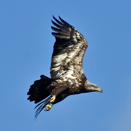
baea bird eagle mathewscounty taxonomy:binomial=haliaeetusleucocephalus taxonomy:common=baldeagle usa va virginia
Bald Eagle, Virginia
baea bird eagle mathewscounty taxonomy:binomial=haliaeetusleucocephalus taxonomy:common=baldeagle usa va virginia
Bald Eagle, Virginia
Window with a View-Southwind Pizza-Mathews Virginia 1755
Godfrey Bay on the Piankatank River
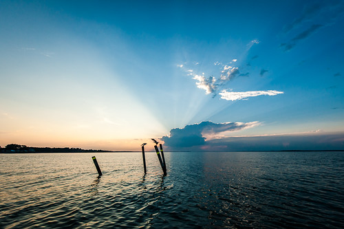
sunset sky orange water bay pier photographer chesapeakebay
New Point Comfort Nature Preserve
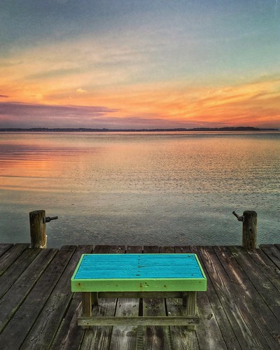
river virginia dock gwynnsisland
nice view
people jeff gwynnsisland
getting the view
square squareformat iphoneography instagramapp uploaded:by=instagram
Uninstalled Twitter app from my phone on Friday to enjoy this view with friends & their families.... Surprisingly enough I survived! Happy to be back on Twitter but catching up on notifications might take some time..... Hope everyone is having an amazi
mathewscounty virginia va usa eastrivervirginia waterway river
East River Virginia
havenbeach beach country nice relaxing peaceful lovely scenic quaint serene stunning wonderful mathewsva tidewater tidewaterva northernneck nature sandy sunset skyline landscape landscapes park remote untouched
The Getaway
sky moon water night dark stars pier photographers marsh wetland chesapeakebay
Night Shoot at Mobjack Bay
November Dawns
gwynnsisland mathewscounty virginia va usa island docks picnicarea
Boat Dock on Gwynn's Island
ocean sunset sky beach water clouds bay sand surf waves dusk calm va chesapeake deltaville
Sturgeon Creek
sunset sea sky water birds clouds evening dusk chesapeakebay rappahannockriver
Time to Head Home
sunset sun water evening boat
Sunset on Sturgeon Creek - Deltaville, VA
gwynnsisland mathewscounty virginia va usa beach shoreline chesapeakebay house home jetty
Gwynn's Island Beach House and Shoreline
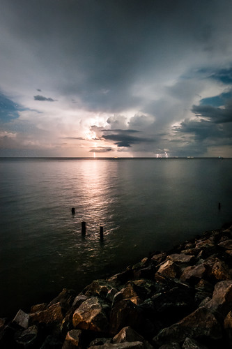
sky storm water night clouds dark rocks lightning chesapeakebay
Storm Off Stingray Point
Virginia State Route 3, Mathews, Virginia
ocean sky reflection beach water sailboat dark bay boat dusk va mast chesapeake chesapeakebay deltaville fishingbay
Fishing Bay, Deltaville, VA
Piering Into the Mist
Swans at Dawn on the Piankatank River near the Chesapeake Bay, Mathews County Virginia. 7:23 a.m. 12/30/16
Big Weather over the Chesapeake Bay of Virginia. From Godfrey Bay, Mathews County. 7:26 a.m. April 13, 2019
explore d5100 stingraypoint fastapp69
Finally [Explored!]
pauldiming summer dailyphoto landscape matthewscountyvirginia virginia cloud clouds middlepeninsula marsh newpointcomfortlighthouse d7000 matthewscounty porthaywood porthaywoodvirginia unitedstates us
Marsh @ New Point Comfort Light - Matthews County, VA
Godfrey Bay at Misti Cove, Mathews County Virginia 6:53 a.m. 11/28/15
seagullschesapeakevirginia gwynns island virginia
School Is In-Gwynn's Island-Mathews County VA 03928
Godfrey Bay, Cobbs Creek Virginia 5:44 p.m. 2/20/16
virginiadepartmentofconservationrecreation dailyphoto naturalareapreserve nap landscape virginia bethelbeachnap matthewscountyvirginia matthewscounty beach chesapeakebay pauldiming bethelbeachnaturalareapreserve dcr summer d7000 onemo unitedstates us
Beach Grass @ Bethel Beach Natural Area Preserve - Matthews County, VA