Elevation of Grey Rd 25, Chatsworth, ON N0G, Canada
Location: Canada > Ontario > Grey County > Chatsworth >
Longitude: -80.8642904
Latitude: 44.3116705
Elevation: -10000m / -32808feet
Barometric Pressure: 0KPa
Related Photos:

Stacked for Winter-3479
Front View

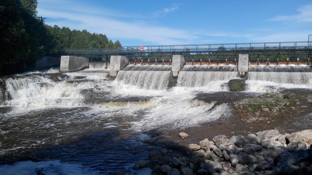
Dam View

Ferguson Mill.jpg

Take me home country road...

McGowan Falls

Side View

At the Edge - 3767

MacGowan Falls 2 Durham-3729
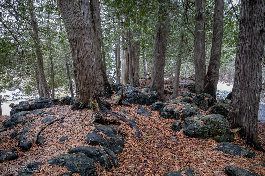
Outcrop Atop MacGowan Falls-3749

Winding Winter River-3460

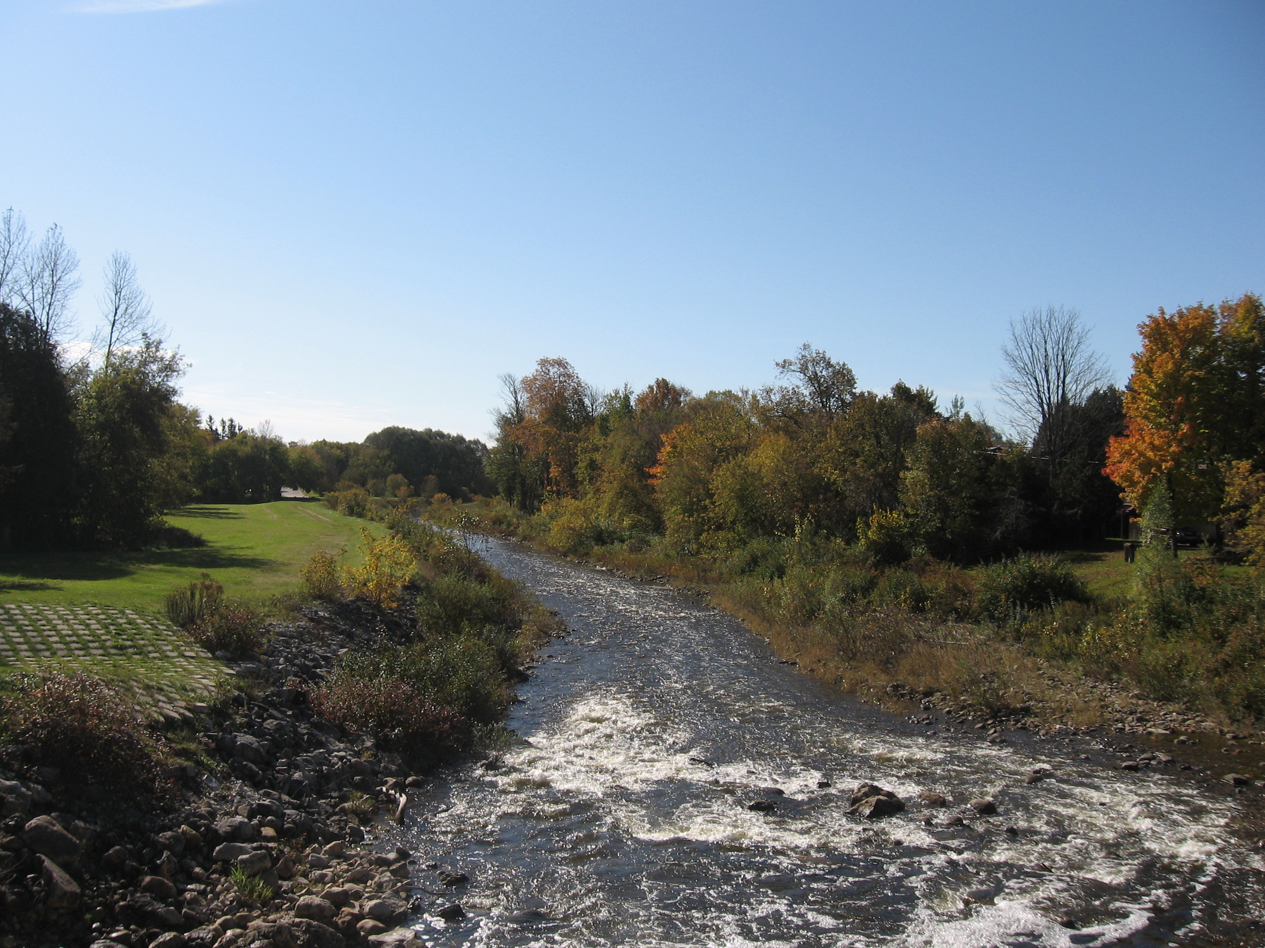
River Long View-3462
Styx River

McGowan Falls

Morning Dawn

Whirlpool Tub

Welcoming path

McGowan Falls, Ontario

Tall enough
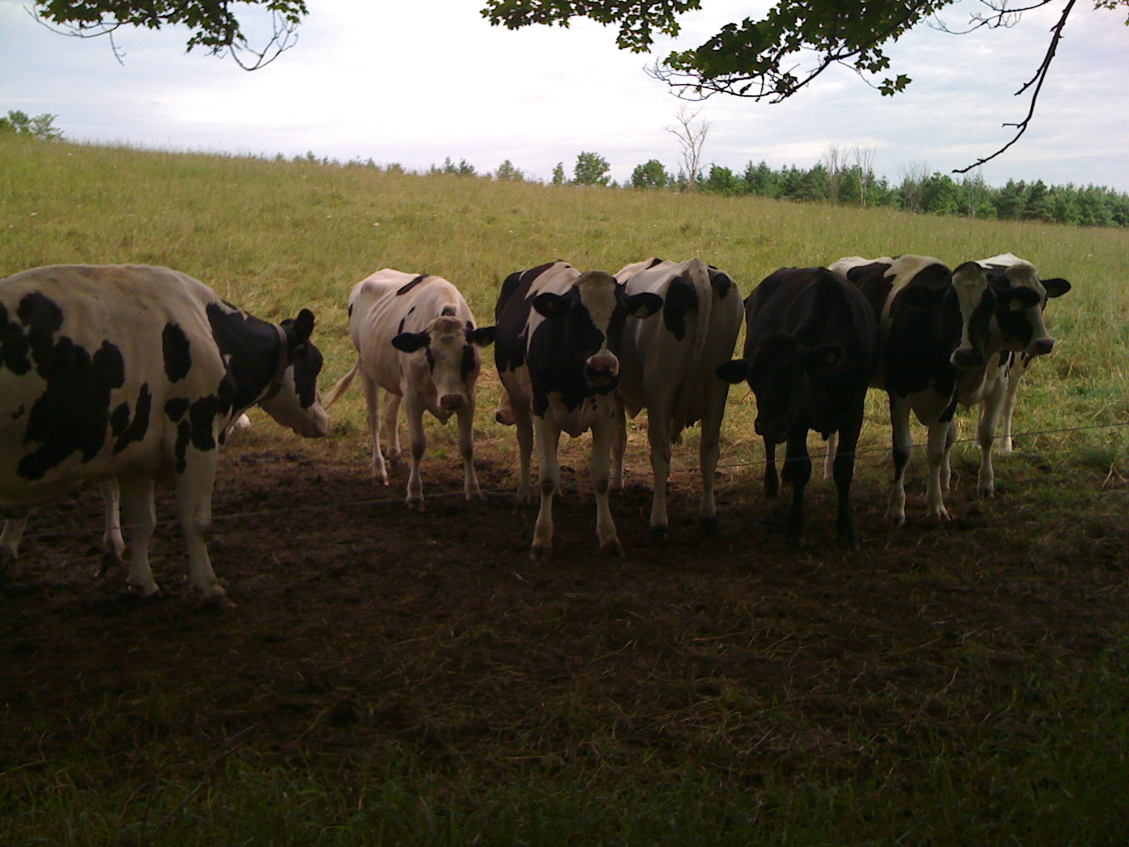
Hello, ladies
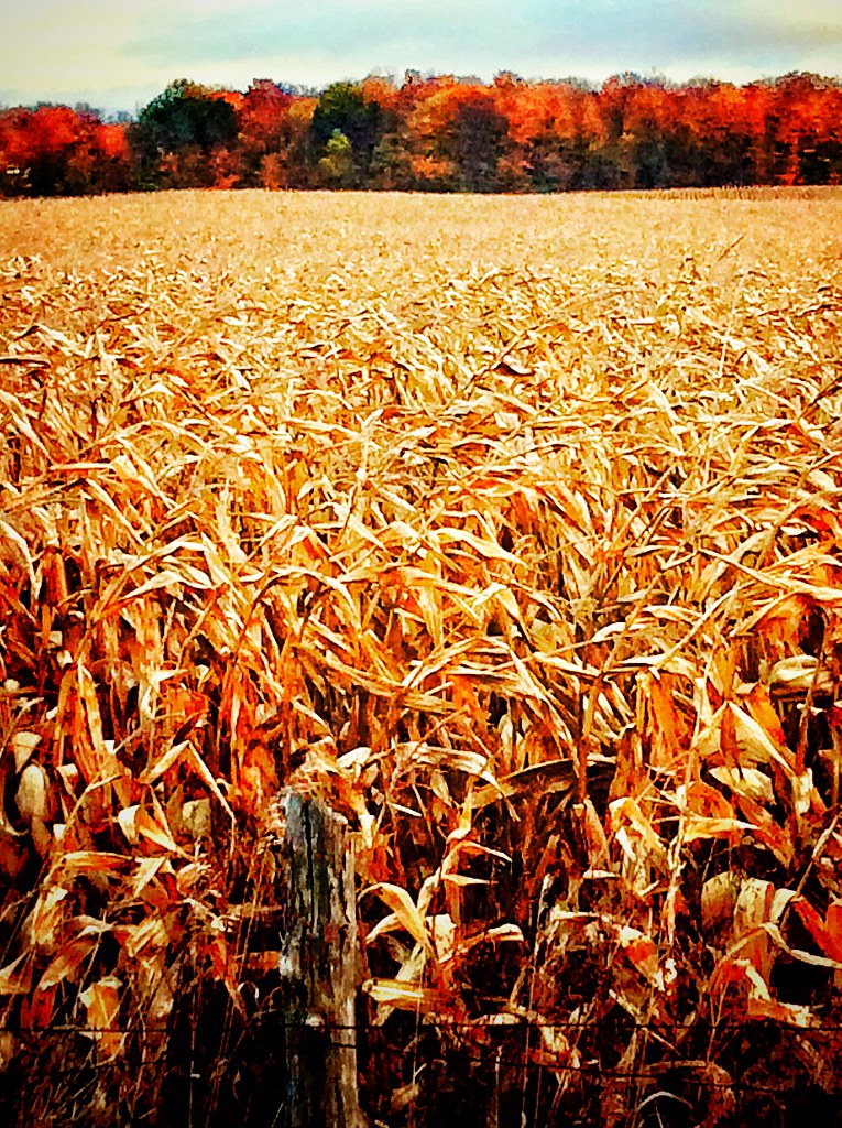
Corn Field in Fall

Fall corn field

The sunset are to the west and east at the farm.
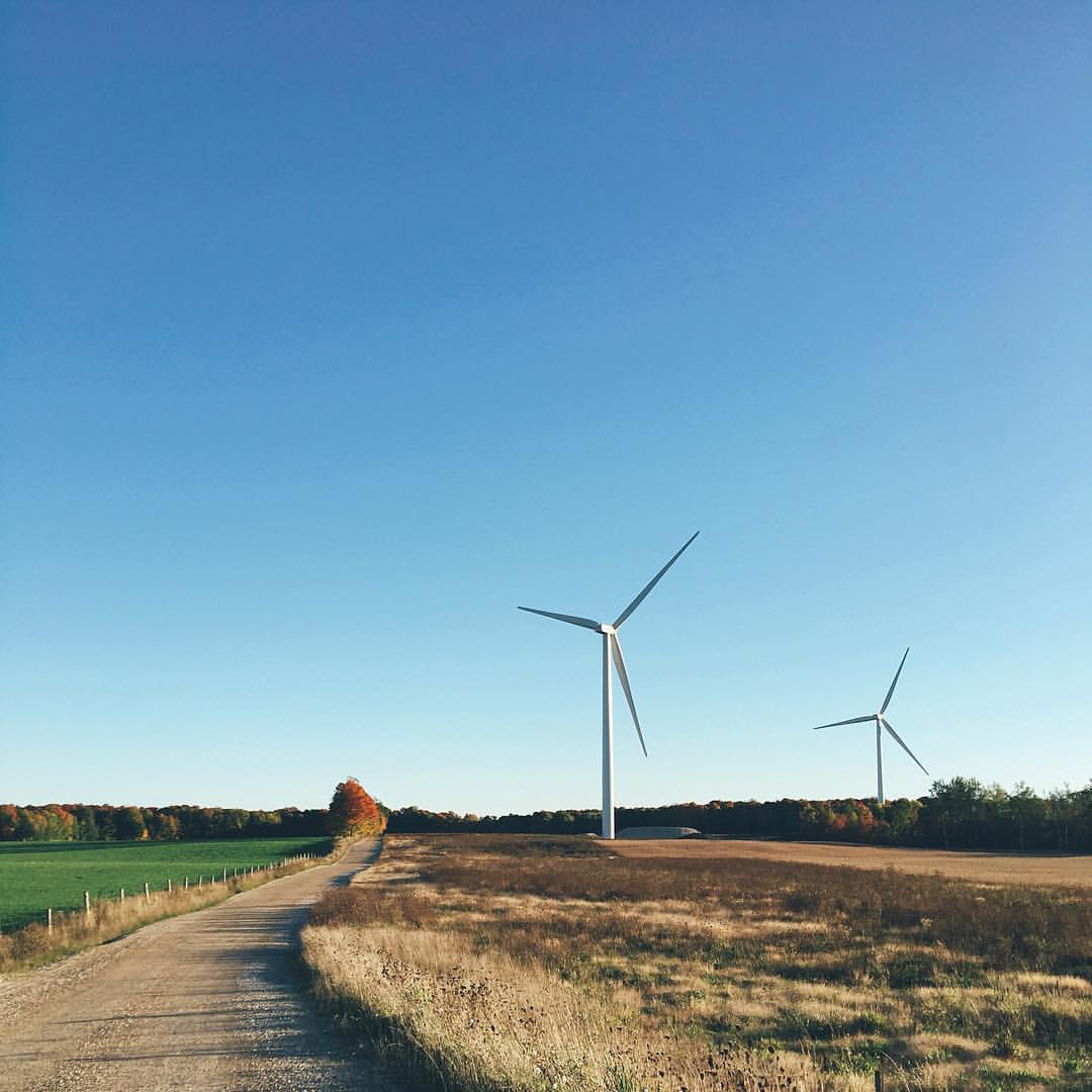
白色风车 | Wind generator #white #autumn #fall #yellow #sky #blue #wind #generator #blind #farm #ontario #canada #f4f #followforfollow #iphone #iphonephotooftheday #photography #photooftheday #landscape #nature #human #life #clear #love

Wild Ginger at the Kolapore Uplands Tracking Weekend May 2012
Topographic Map of Grey Rd 25, Chatsworth, ON N0G, Canada
Find elevation by address:

Places near Grey Rd 25, Chatsworth, ON N0G, Canada:
Chatsworth
Williamsford
313869 On-6
422410 Concession 6 Ndr
West Grey
Townsend Lake Road
680176 Chatsworth Road 24
Holland Centre
14 Durham Rd E
14 Durham Rd E
545 George St W
Durham
548 George St E
552 George St E
537 George St E
537 George St E
537 George St E
537 George St E
537 George St E
545 George St E
Recent Searches:
- Elevation map of Greenland, Greenland
- Elevation of Sullivan Hill, New York, New York, 10002, USA
- Elevation of Morehead Road, Withrow Downs, Charlotte, Mecklenburg County, North Carolina, 28262, USA
- Elevation of 2800, Morehead Road, Withrow Downs, Charlotte, Mecklenburg County, North Carolina, 28262, USA
- Elevation of Yangbi Yi Autonomous County, Yunnan, China
- Elevation of Pingpo, Yangbi Yi Autonomous County, Yunnan, China
- Elevation of Mount Malong, Pingpo, Yangbi Yi Autonomous County, Yunnan, China
- Elevation map of Yongping County, Yunnan, China
- Elevation of North 8th Street, Palatka, Putnam County, Florida, 32177, USA
- Elevation of 107, Big Apple Road, East Palatka, Putnam County, Florida, 32131, USA
- Elevation of Jiezi, Chongzhou City, Sichuan, China
- Elevation of Chongzhou City, Sichuan, China
- Elevation of Huaiyuan, Chongzhou City, Sichuan, China
- Elevation of Qingxia, Chengdu, Sichuan, China
- Elevation of Corso Fratelli Cairoli, 35, Macerata MC, Italy
- Elevation of Tallevast Rd, Sarasota, FL, USA
- Elevation of 4th St E, Sonoma, CA, USA
- Elevation of Black Hollow Rd, Pennsdale, PA, USA
- Elevation of Oakland Ave, Williamsport, PA, USA
- Elevation of Pedrógão Grande, Portugal