Elevation map of Grey County, ON, Canada
Location: Canada > Ontario >
Longitude: -80.632691
Latitude: 44.4659957
Elevation: 431m / 1414feet
Barometric Pressure: 96KPa
Elevation Map:
Satellite Map:
Related Photos:
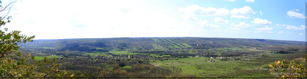
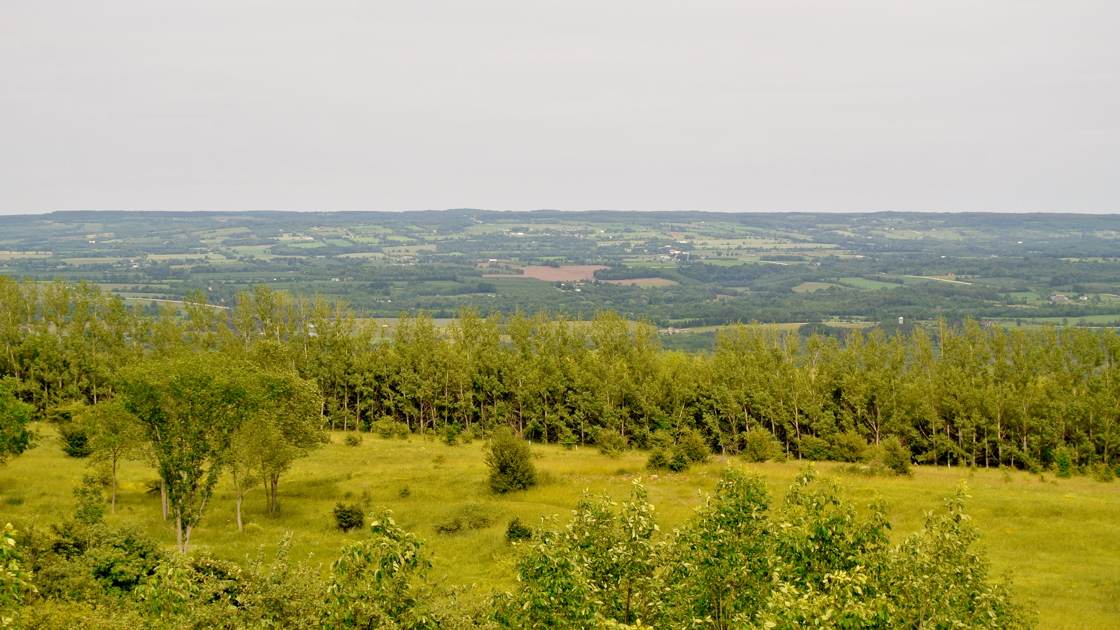
Beaver Valley Panoramic
Great Views!
.: Wild Walters Creek :.
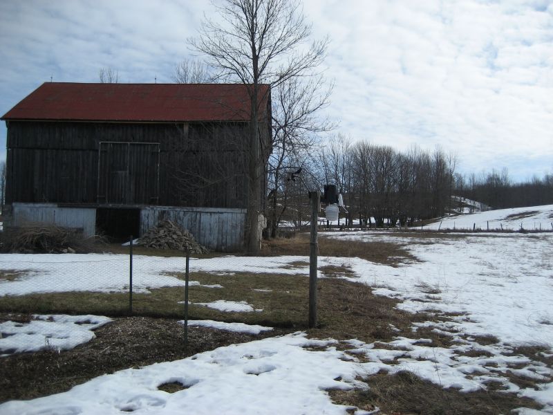
Walters Falls Milling.jpg

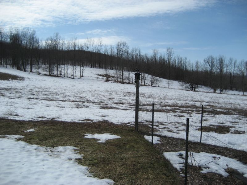
Fence Post Vista
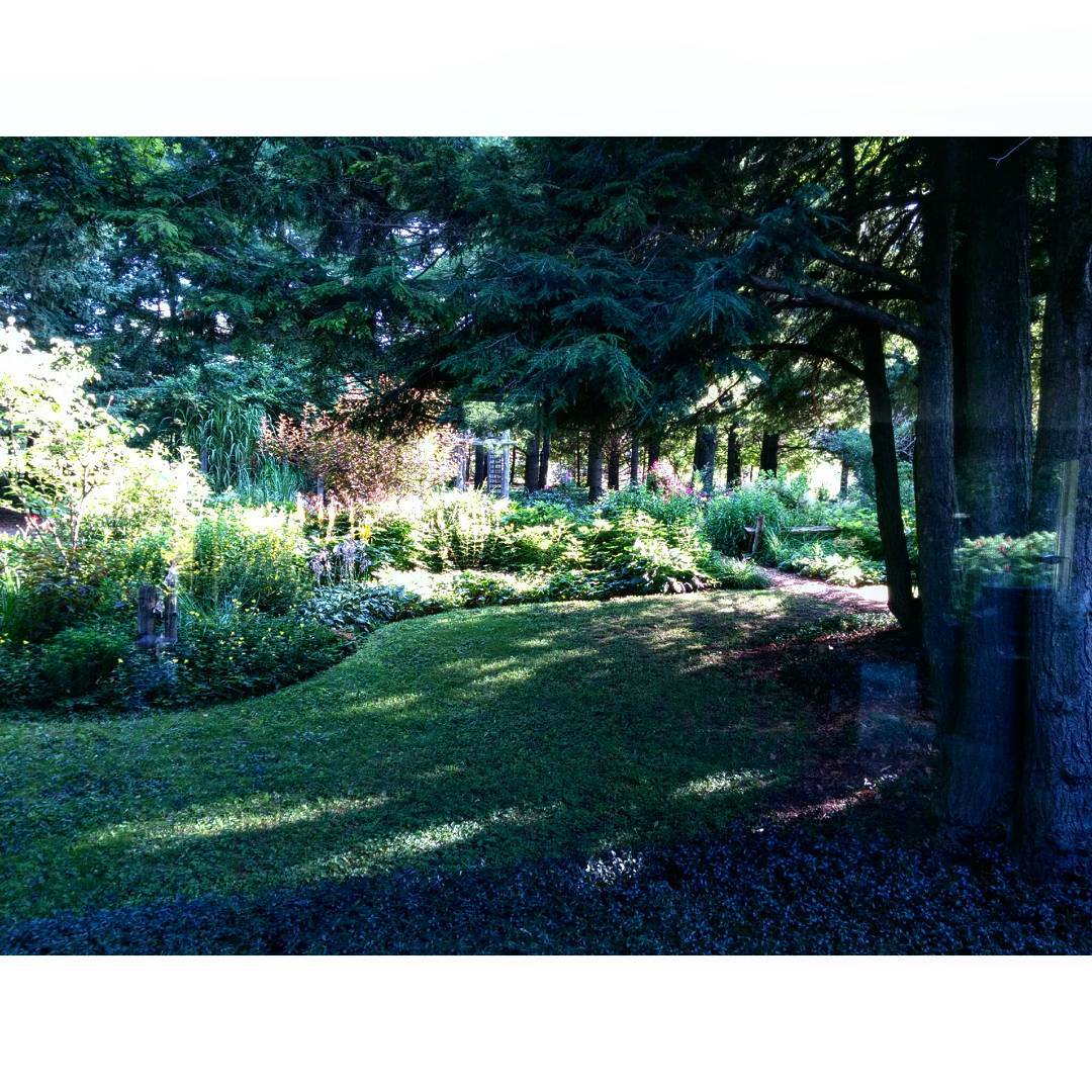
The view from our "bedroom" this morning. #bognor #garden
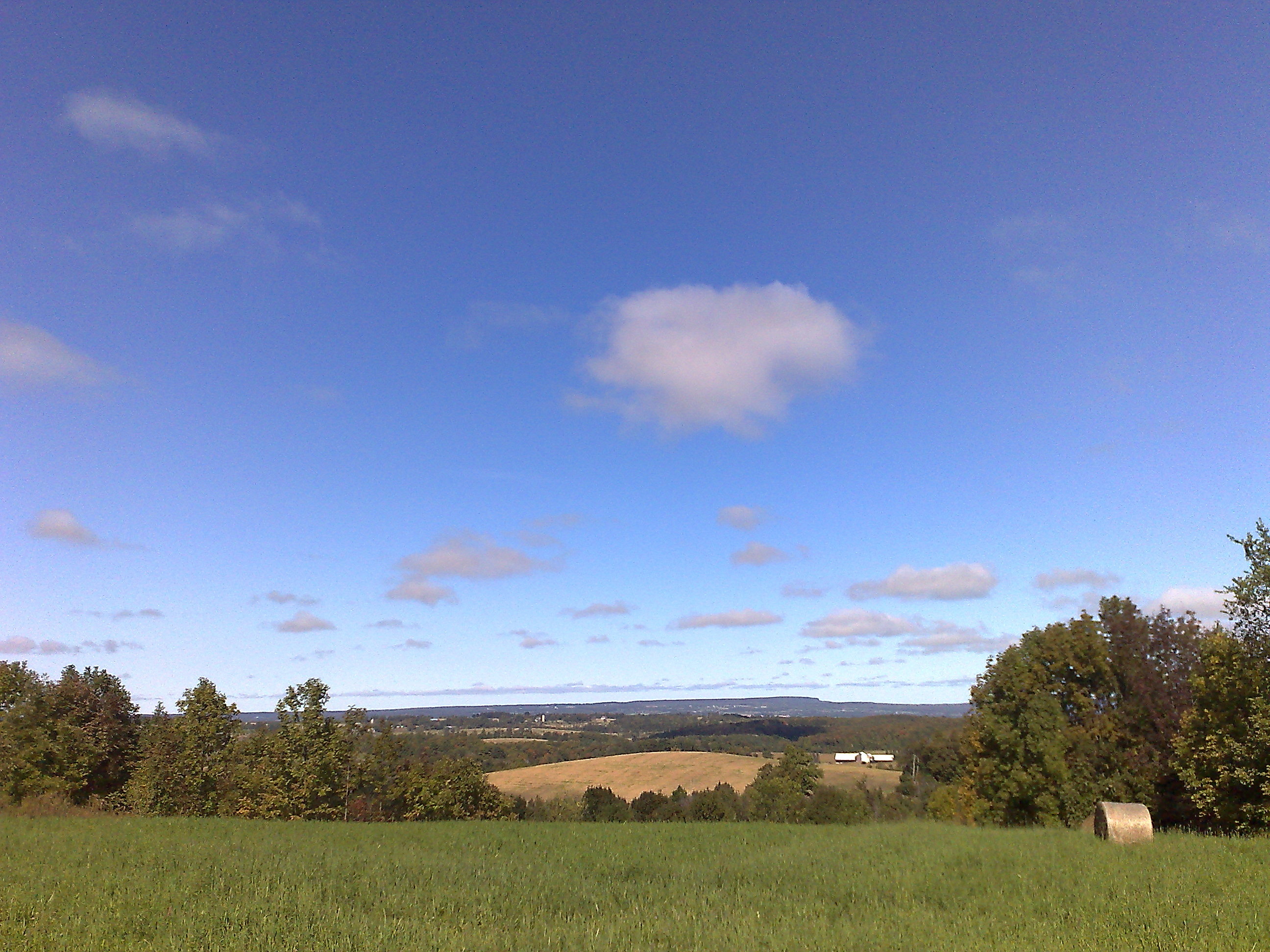
Beaver Valley
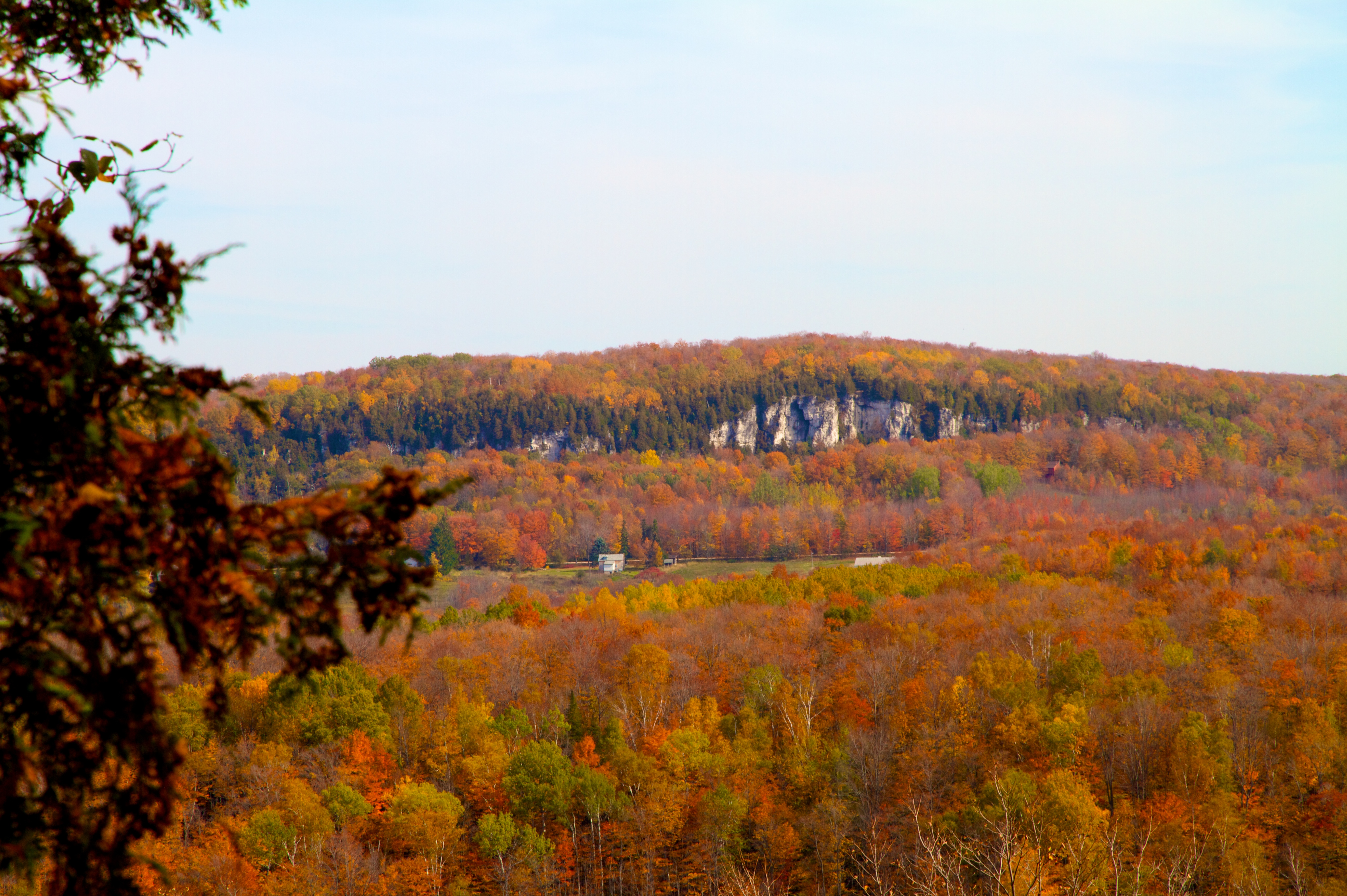
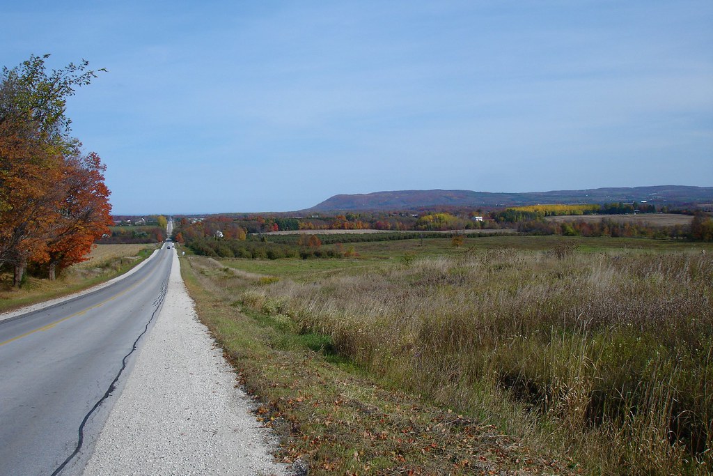
Fall Colours

The Dodge Ram Rodeo was in Thornbury
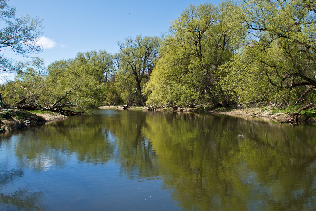
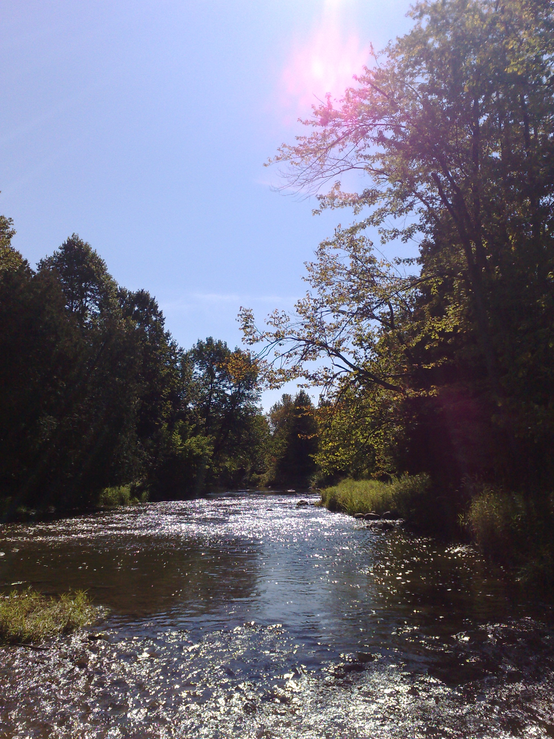
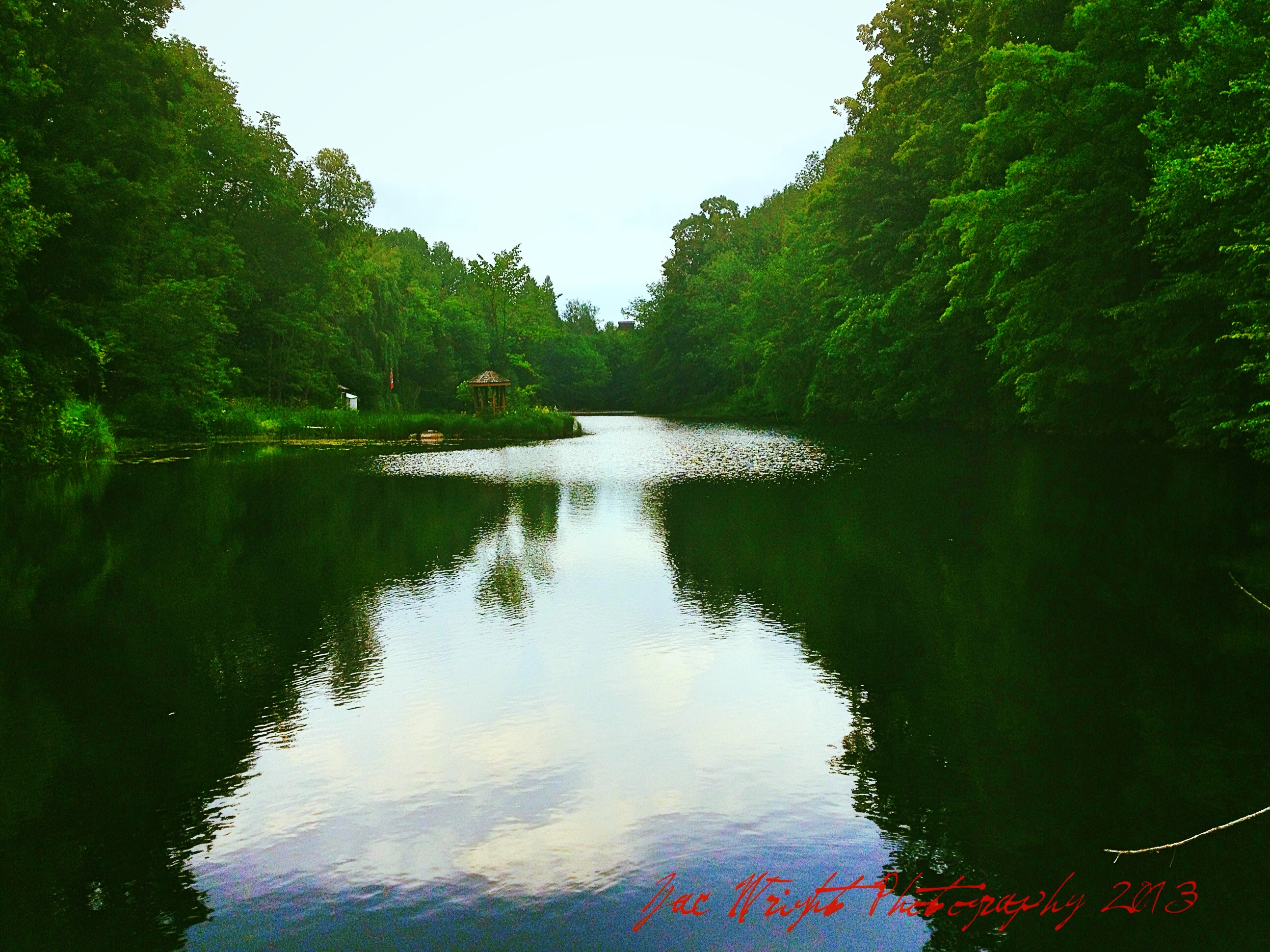
Beaver River
C6585 Weather Station (S)
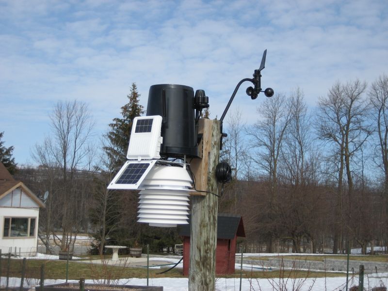
C6585 Weather Station (CU)
C6585 Weather Station (E)

View from camp at Headwaters Gathering 2013
C6585 Weather Station (N)
View from Epping Lookout
East view towards Georgian Peaks
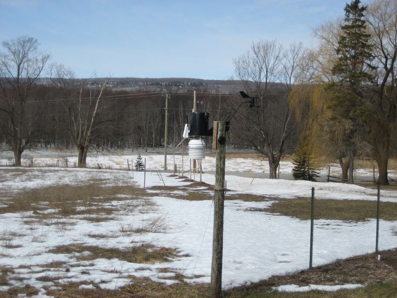
C6585 Weather Station (W)
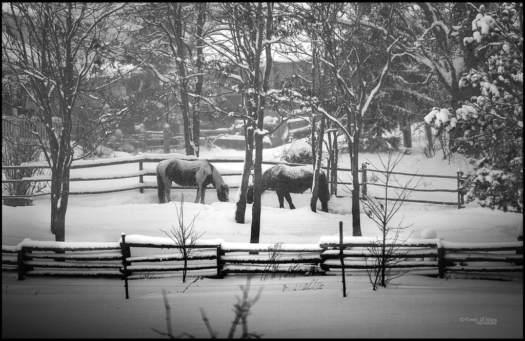
Monochromatic Challenge: January 2015 week 1 photo

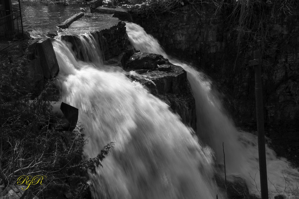
Walter Falls Mill dam
The Creek

Walter's Falls - Ice Wall
Near Meaford, Ontario

Unknown Waterfall

Unknown Waterfall

Webwood Falls

Webwood Falls

Bognor Marsh Trail
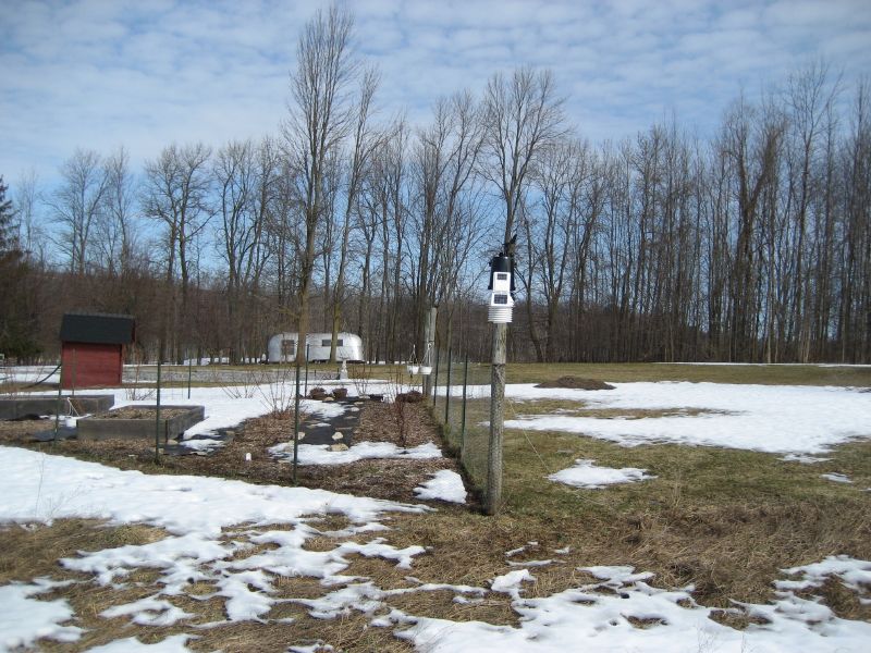
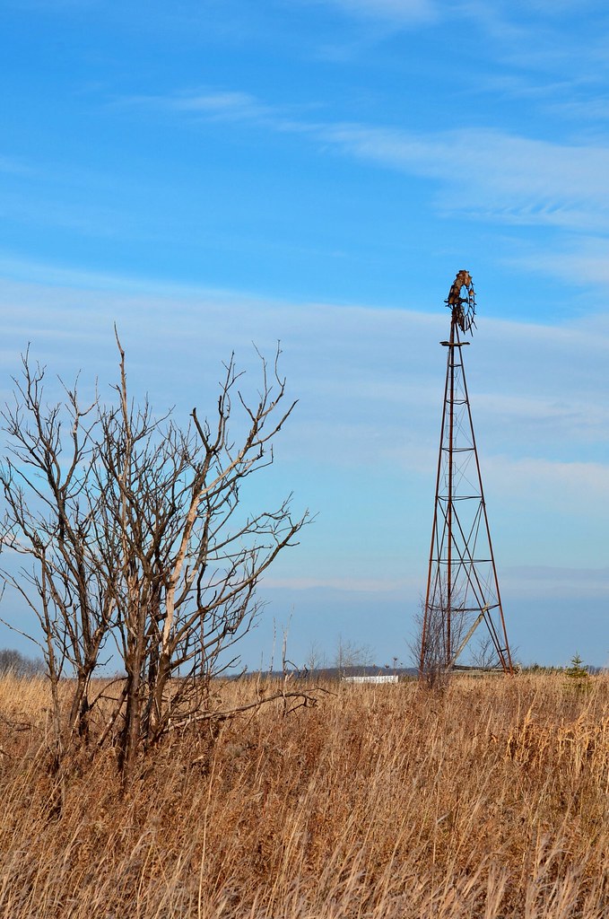
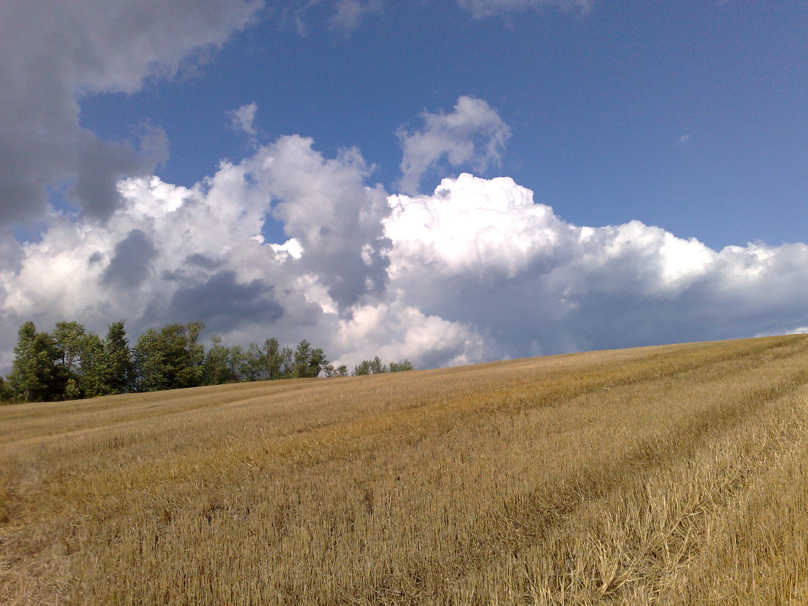
Open Field
07/09/2008
Chasing waterfalls across grey highlands

Sunset Forest Scene
Walters Falls

Walters Falls
MillerHill River Trail

DSC_0041 - Version 2
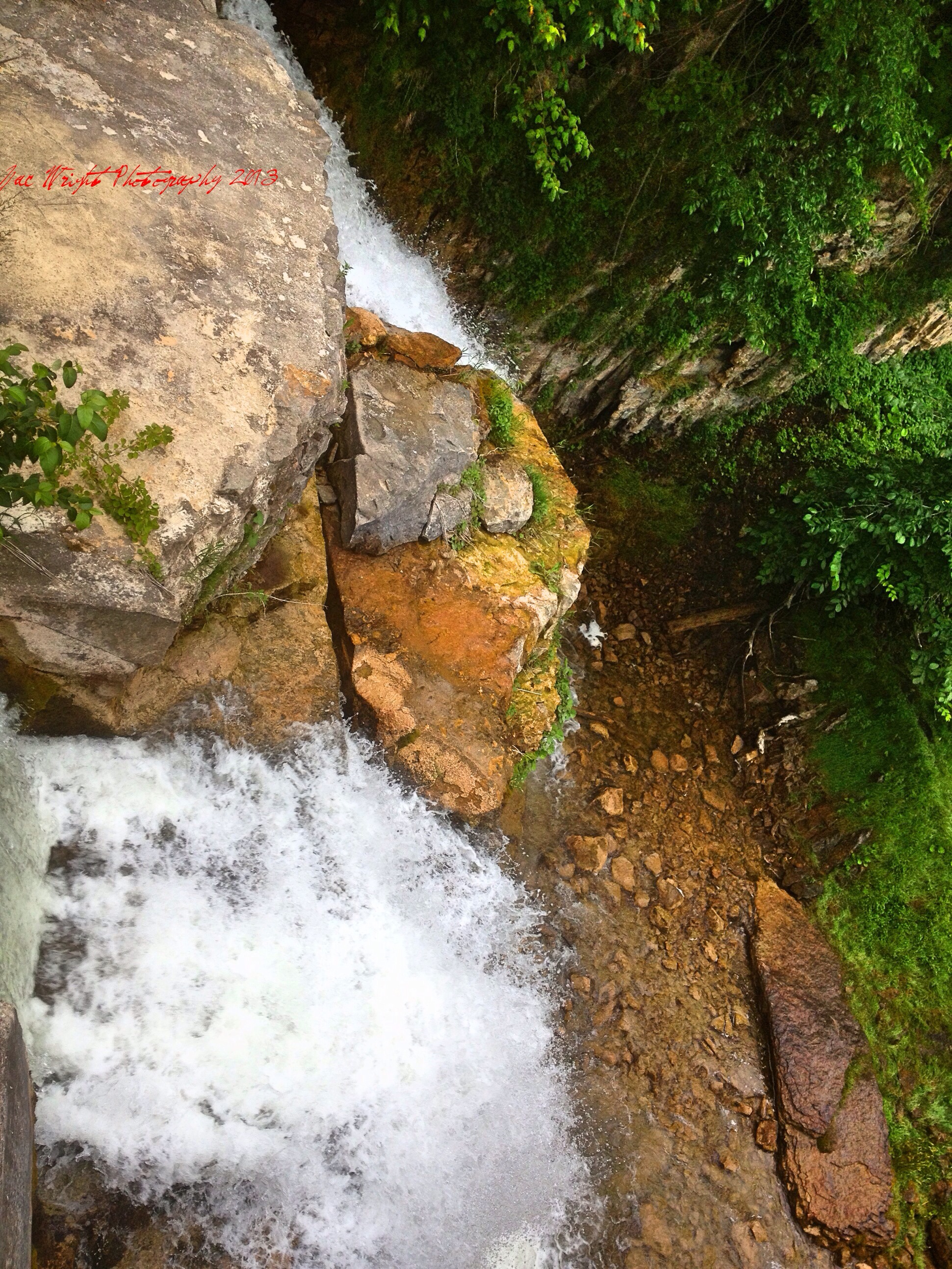
Chasing waterfalls across grey highlands
Windsong Ranch, Bognor, ON_8546
Topographic Map of Grey County, ON, Canada
Find elevation by address:

Places in Grey County, ON, Canada:
West Grey
Grey Highlands
The Blue Mountains
Meaford
Southgate
Georgian Bluffs
Chatsworth
Owen Sound
Chatsworth
Hanover
Places near Grey County, ON, Canada:
Goring
Rocklyn
135850 9 Line
135850 9 Line
Sideroad Farm
135826 9 Line
135826 9 Line
135826 9 Line
135737 9 Line
135678 9 Line
75616 Grey County Rd 12
Grey County Rd 7, Kimberley, ON N0C 1G0, Canada
Grey Highlands
Kimberley
Berkeley
540226 Side Rd 80
Markdale
Markdale Hospital
401322 Grey County Rd 12
Holland Centre
Recent Searches:
- Elevation of Corso Fratelli Cairoli, 35, Macerata MC, Italy
- Elevation of Tallevast Rd, Sarasota, FL, USA
- Elevation of 4th St E, Sonoma, CA, USA
- Elevation of Black Hollow Rd, Pennsdale, PA, USA
- Elevation of Oakland Ave, Williamsport, PA, USA
- Elevation of Pedrógão Grande, Portugal
- Elevation of Klee Dr, Martinsburg, WV, USA
- Elevation of Via Roma, Pieranica CR, Italy
- Elevation of Tavkvetili Mountain, Georgia
- Elevation of Hartfords Bluff Cir, Mt Pleasant, SC, USA