Elevation of Chatsworth, ON, Canada
Location: Canada > Ontario > Grey County >
Longitude: -80.854384
Latitude: 44.3716712
Elevation: 341m / 1119feet
Barometric Pressure: 97KPa
Elevation Map:
Satellite Map:
Related Photos:

Take me home country road...
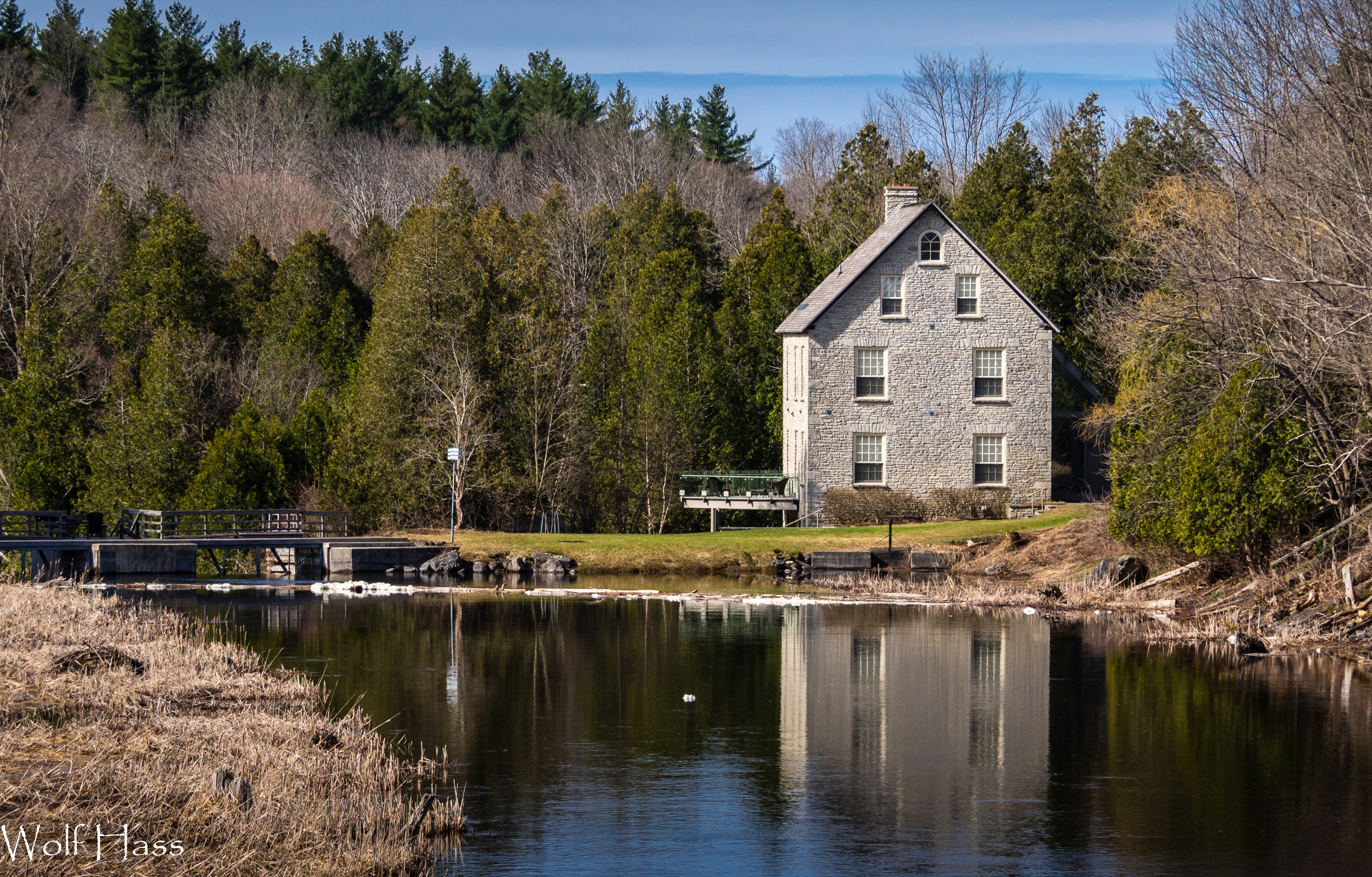
Ferguson Mill.jpg

Tamarack Reflections 2

Weavers Creek Falls 1

Foggy Day on the Rocky Saugeen

Morning Dawn
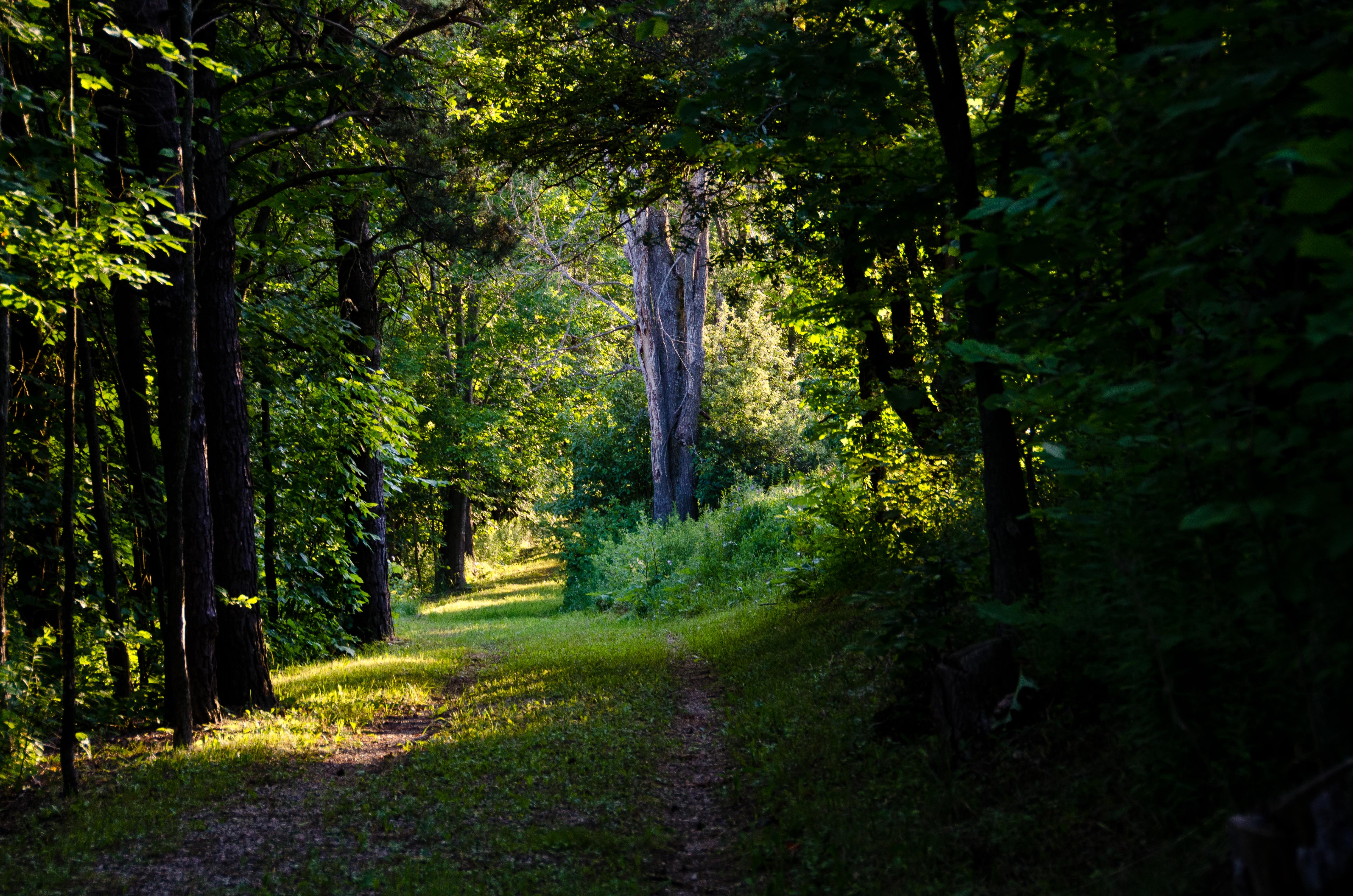
Welcoming path
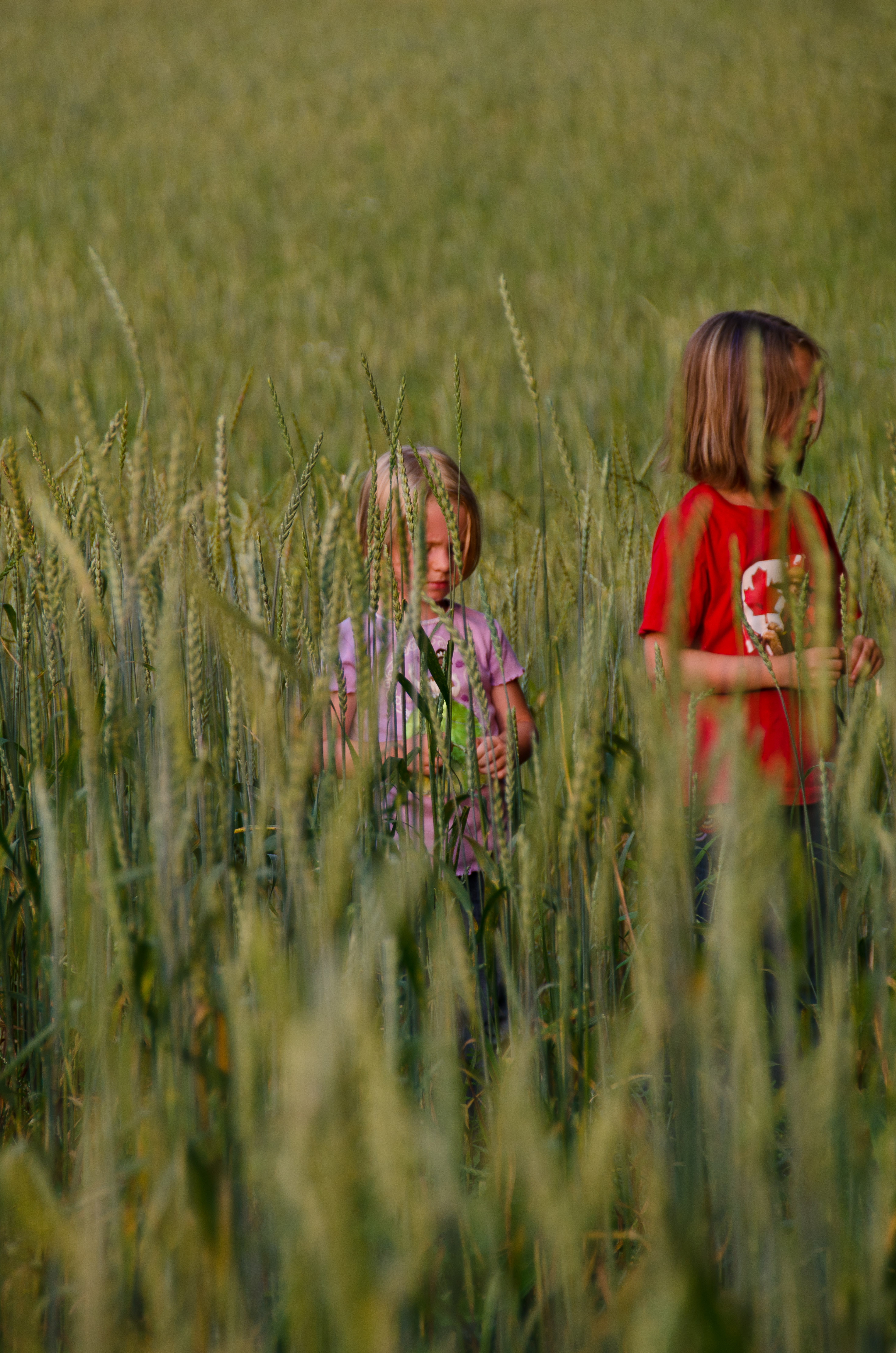
Tall enough

March 2012
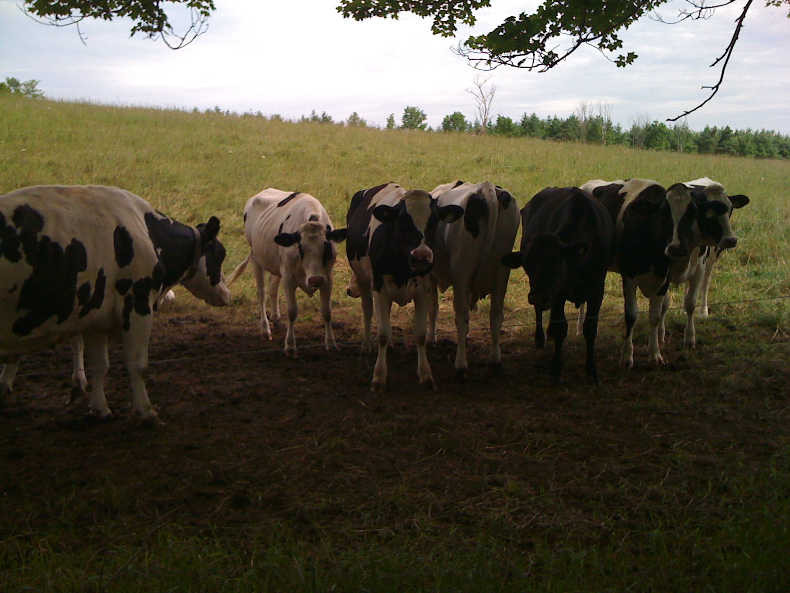
Hello, ladies

Fall corn field
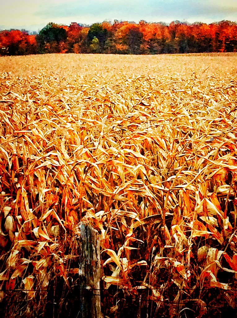
Corn Field in Fall
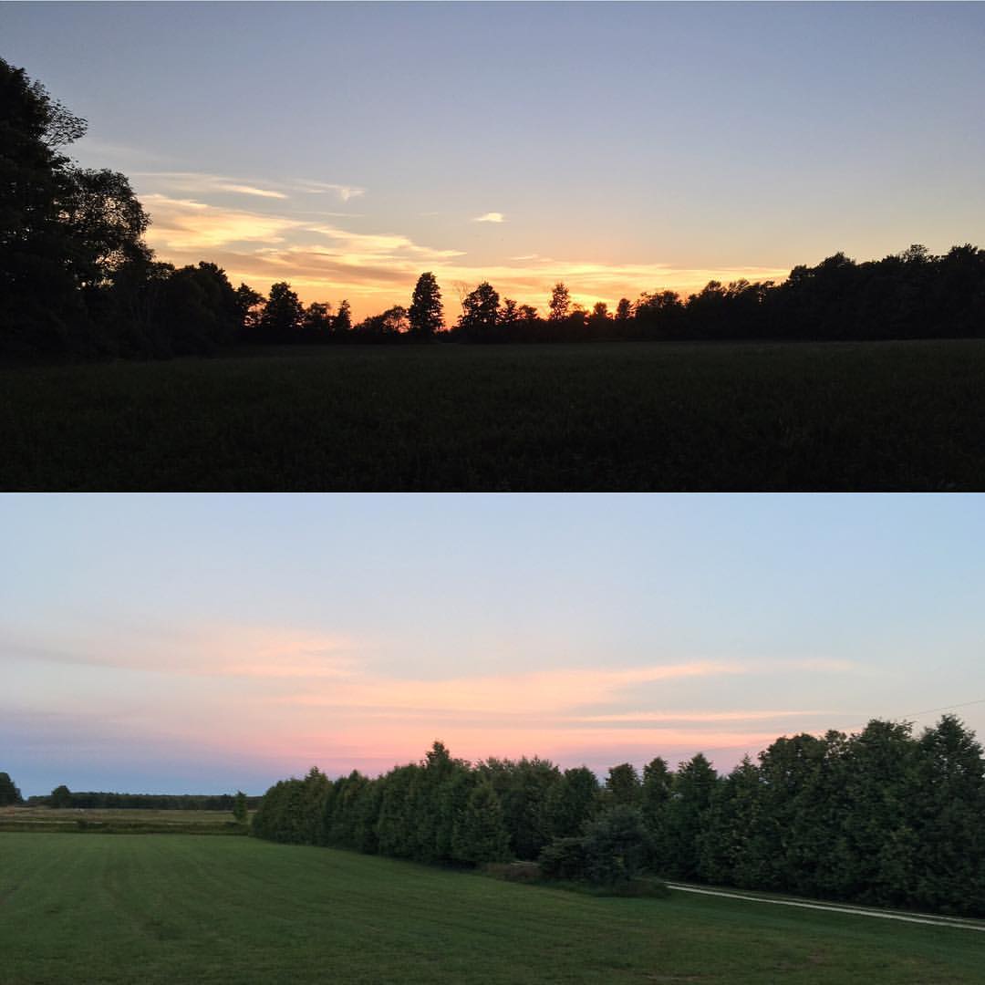
The sunset are to the west and east at the farm.
Topographic Map of Chatsworth, ON, Canada
Find elevation by address:

Places in Chatsworth, ON, Canada:
Places near Chatsworth, ON, Canada:
680176 Chatsworth Road 24
Holland Centre
Townsend Lake Road
Berkeley
540226 Side Rd 80
Sideroad Farm
401322 Grey County Rd 12
Goring
Markdale Hospital
75616 Grey County Rd 12
Markdale
Grey County
135850 9 Line
135850 9 Line
135826 9 Line
135826 9 Line
135826 9 Line
135737 9 Line
135678 9 Line
Grey Highlands
Recent Searches:
- Elevation of Corso Fratelli Cairoli, 35, Macerata MC, Italy
- Elevation of Tallevast Rd, Sarasota, FL, USA
- Elevation of 4th St E, Sonoma, CA, USA
- Elevation of Black Hollow Rd, Pennsdale, PA, USA
- Elevation of Oakland Ave, Williamsport, PA, USA
- Elevation of Pedrógão Grande, Portugal
- Elevation of Klee Dr, Martinsburg, WV, USA
- Elevation of Via Roma, Pieranica CR, Italy
- Elevation of Tavkvetili Mountain, Georgia
- Elevation of Hartfords Bluff Cir, Mt Pleasant, SC, USA