Elevation of Grenoble-Isère Airport, Aéroport de Grenoble Isère, Saint-Étienne-de-Saint-Geoirs
Location: France > Isere > Saint-Étienne-de-saint-geoirs >
Longitude: 5.3320217
Latitude: 45.3601002
Elevation: 386m / 1266feet
Barometric Pressure: 97KPa
Elevation Map:
Satellite Map:
Related Photos:
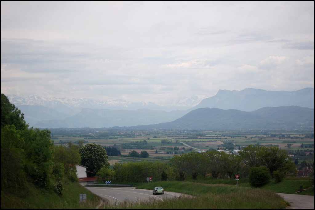
210 - Lyon-Grenoble - First mountain view
Topographic Map of Grenoble-Isère Airport, Aéroport de Grenoble Isère, Saint-Étienne-de-Saint-Geoirs
Find elevation by address:

Places near Grenoble-Isère Airport, Aéroport de Grenoble Isère, Saint-Étienne-de-Saint-Geoirs:
Saint-Étienne-de-saint-geoirs
Bressieux
45 Rue de la Porte de Serre, Bressieux, France
Grande Rue, Saint-Siméon-de-Bressieux, France
Saint-siméon-de-bressieux
La Forteresse
20 Villefranche, La Forteresse, France
Nantoin
Route du Liers, Nantoin, France
Champier
Route Du Bailly
3 Chemin de la Lucardière, Montrevel, France
Chemin des Alouettes, Champier, France
Roybon
Impasse de Clairfont, Roybon, France
Morette
Montrevel
66 Rue Yves Farge, Morette, France
Tullins
Doissin
Recent Searches:
- Elevation of Estates Loop, Priest River, ID, USA
- Elevation of Woodland Oak Pl, Thousand Oaks, CA, USA
- Elevation of Brownsdale Rd, Renfrew, PA, USA
- Elevation of Corcoran Ln, Suffolk, VA, USA
- Elevation of Mamala II, Sariaya, Quezon, Philippines
- Elevation of Sarangdanda, Nepal
- Elevation of 7 Waterfall Way, Tomball, TX, USA
- Elevation of SW 57th Ave, Portland, OR, USA
- Elevation of Crocker Dr, Vacaville, CA, USA
- Elevation of Pu Ngaol Community Meeting Hall, HWHM+3X7, Krong Saen Monourom, Cambodia