Elevation of Route du Bailly, Champier, France
Location: France > Isere > Champier >
Longitude: 5.2959693
Latitude: 45.4611514
Elevation: 520m / 1706feet
Barometric Pressure: 95KPa
Elevation Map:
Satellite Map:
Related Photos:
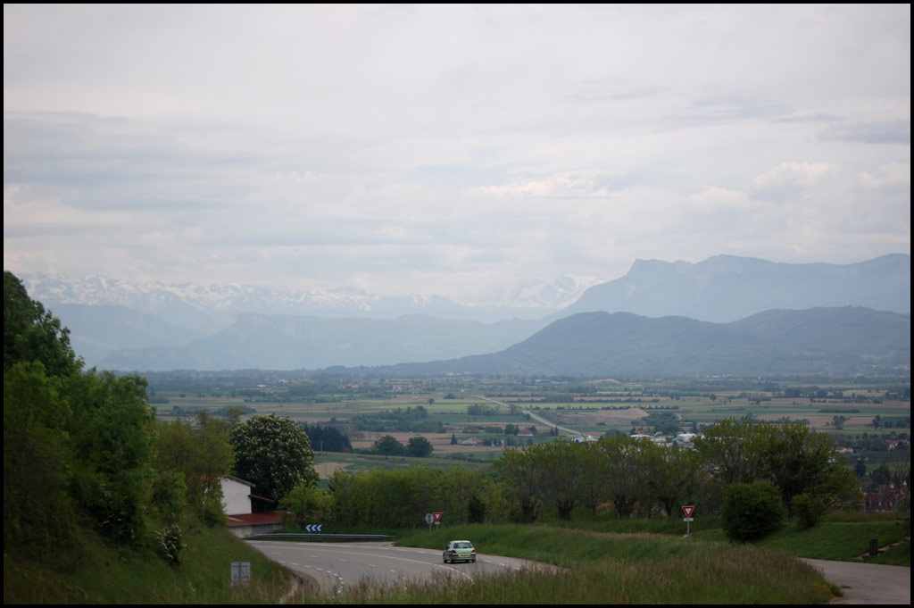
210 - Lyon-Grenoble - First mountain view
Topographic Map of Route du Bailly, Champier, France
Find elevation by address:

Places near Route du Bailly, Champier, France:
Champier
Chemin des Alouettes, Champier, France
Nantoin
Route du Liers, Nantoin, France
Succieu
10 Le Charnier, Succieu, France
Nivolas-vermelle
3 Chemin de la Lucardière, Montrevel, France
Grenoble-isère Airport
56 Impasse des Lilas, Nivolas-Vermelle, France
Montrevel
Saint-victor-de-cessieu
73 Avenue Professeur Tixier
3 Place du 8 Mai, Ruy, France
Ruy
Saint-Étienne-de-saint-geoirs
Doissin
6 Chemin de Guillermont, Saint-Victor-de-Cessieu, France
Grande Rue, Saint-Siméon-de-Bressieux, France
Saint-siméon-de-bressieux
Recent Searches:
- Elevation of Corso Fratelli Cairoli, 35, Macerata MC, Italy
- Elevation of Tallevast Rd, Sarasota, FL, USA
- Elevation of 4th St E, Sonoma, CA, USA
- Elevation of Black Hollow Rd, Pennsdale, PA, USA
- Elevation of Oakland Ave, Williamsport, PA, USA
- Elevation of Pedrógão Grande, Portugal
- Elevation of Klee Dr, Martinsburg, WV, USA
- Elevation of Via Roma, Pieranica CR, Italy
- Elevation of Tavkvetili Mountain, Georgia
- Elevation of Hartfords Bluff Cir, Mt Pleasant, SC, USA