Elevation of Green Gate Farm, Law Slack Rd, Hade Edge, Holmfirth HD9 2RY, UK
Location: United Kingdom > England >
Longitude: -1.7644107
Latitude: 53.5380142
Elevation: 386m / 1266feet
Barometric Pressure: 0KPa
Related Photos:

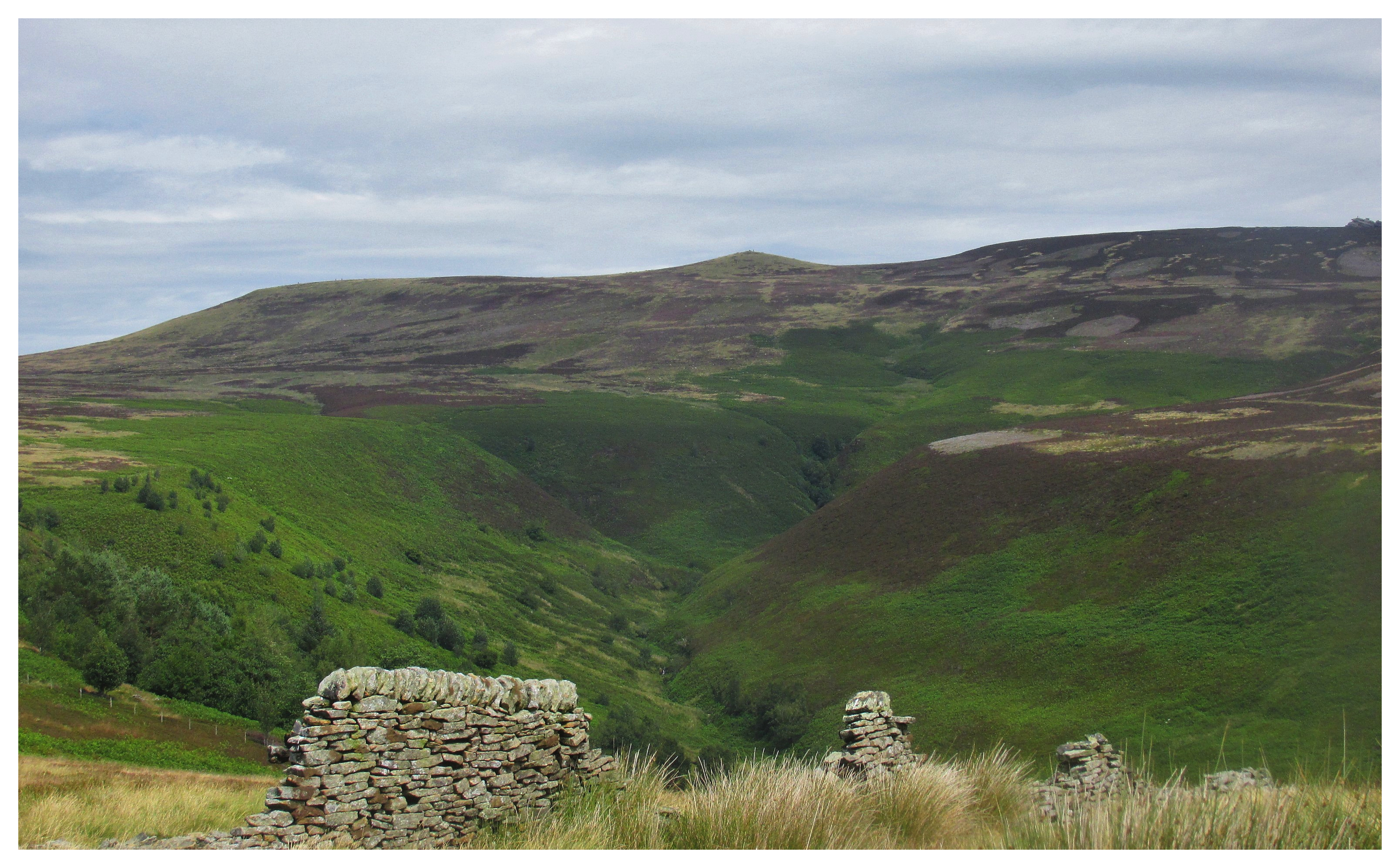
Upper Derwent Moors

Derwent Edge, End of Summer

Back Tor....

Bleaklow Stones

Returned to Earth

Kinder view (explored)

Peak 170...No 79...Whitwell moor.
Peak 170...No 68...Pike low.

IMG_5177-Pano

Peak 170...No 67...Lost lad.
Laddow Rocks

Lockdown 2 - the sequel

Alport castles.

Howden Reservoir

Dovestone Reservoir Panoroma, Greater Manchester, North West England

View from the hill

View to the Future

Fair Brook

The Great Ridge

Howden Reservoir
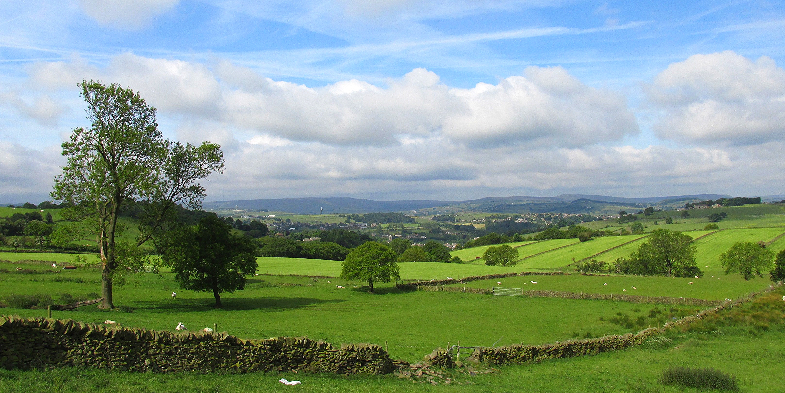
New Mill from Fulstone.

Margery stones.

My route lies ahead.
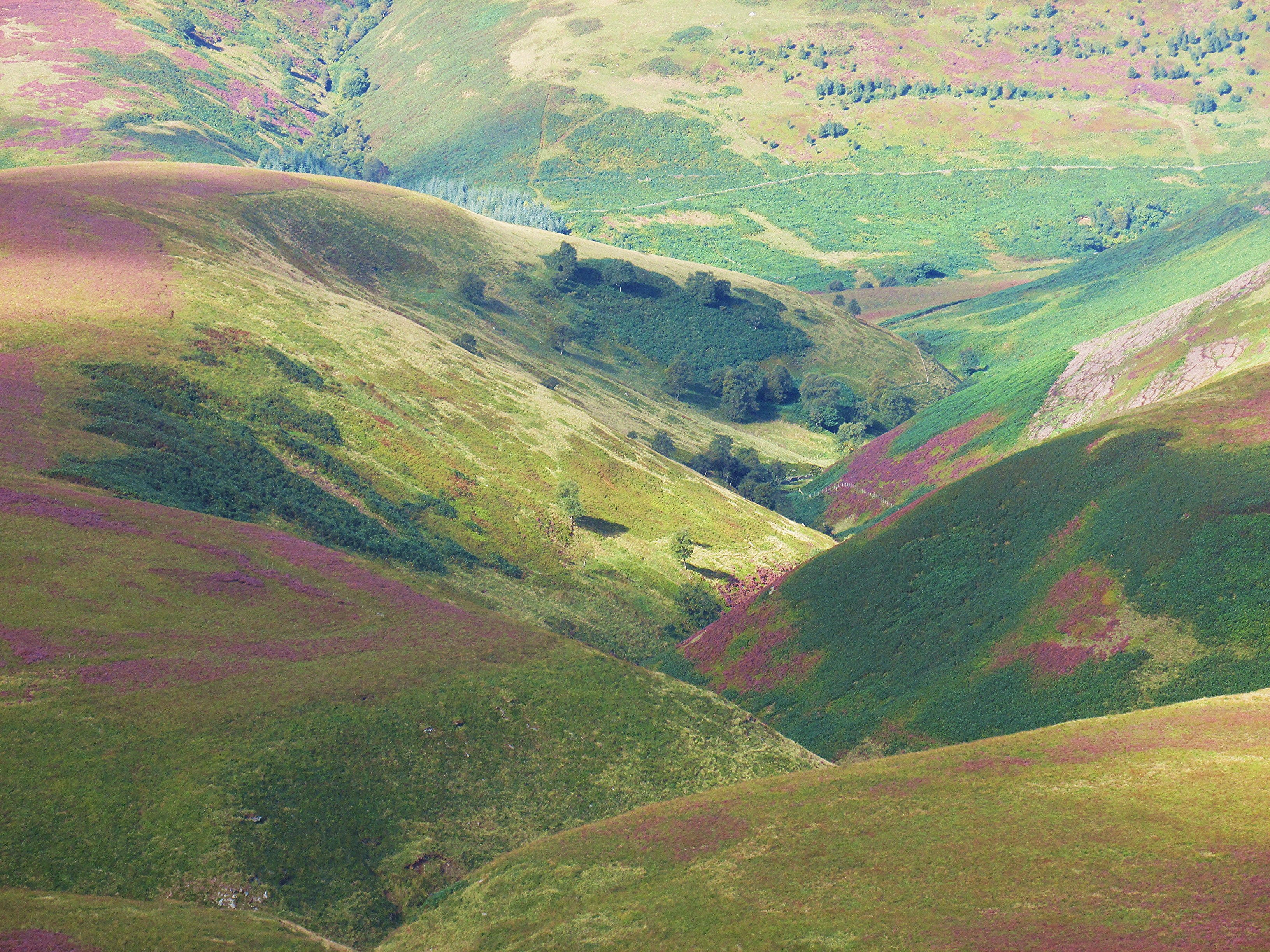
Cranberry clough.

Castle Hill, Huddersfield, West Yorkshire, Uk.

River Derwent

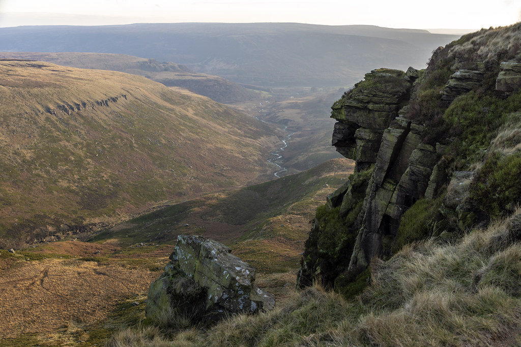
100 Peak tops...No 4...Laddow rocks.

Derbyshire Ravens

Dish Stone

Howden Reservoir

Tranquility!

100 Peak tops...No 39...Whitwell moor.

Fairbrook Naze

Salt Cellar

Misty Woodland Wonder

Crow Stones

Anvil Stone

Pennine Road

Short Grain Waterfall
Topographic Map of Green Gate Farm, Law Slack Rd, Hade Edge, Holmfirth HD9 2RY, UK
Find elevation by address:

Places near Green Gate Farm, Law Slack Rd, Hade Edge, Holmfirth HD9 2RY, UK:
Bare Bones Road
Hade Edge
Dunford Bridge
Hd9 1sy
Scholes Post Office
Hd9 2sj
Gully Terrace
Hd9 1ed
Hd9 2sf
Holmfirth Bus Station
7 Norridge Bottom, Holmfirth HD9 7BB, UK
Hd9 1ax
Holmfirth
Town End Road
31 Binns Ln
Hd9 3xt
Upperthong Lane
Hd9 2qr
Hd9 2ad
Holme View Avenue
Recent Searches:
- Elevation of Pasing, Munich, Bavaria, 81241, Germany
- Elevation of 24, Auburn Bay Crescent SE, Auburn Bay, Calgary, Alberta, T3M 0A6, Canada
- Elevation of Denver, 2314, Arapahoe Street, Five Points, Denver, Colorado, 80205, USA
- Elevation of Community of the Beatitudes, 2924, West 43rd Avenue, Sunnyside, Denver, Colorado, 80211, USA
- Elevation map of Litang County, Sichuan, China
- Elevation map of Madoi County, Qinghai, China
- Elevation of 3314, Ohio State Route 114, Payne, Paulding County, Ohio, 45880, USA
- Elevation of Sarahills Drive, Saratoga, Santa Clara County, California, 95070, USA
- Elevation of Town of Bombay, Franklin County, New York, USA
- Elevation of 9, Convent Lane, Center Moriches, Suffolk County, New York, 11934, USA
- Elevation of Saint Angelas Convent, 9, Convent Lane, Center Moriches, Suffolk County, New York, 11934, USA
- Elevation of 131st Street Southwest, Mukilteo, Snohomish County, Washington, 98275, USA
- Elevation of 304, Harrison Road, Naples, Cumberland County, Maine, 04055, USA
- Elevation of 2362, Timber Ridge Road, Harrisburg, Cabarrus County, North Carolina, 28075, USA
- Elevation of Ridge Road, Marshalltown, Marshall County, Iowa, 50158, USA
- Elevation of 2459, Misty Shadows Drive, Pigeon Forge, Sevier County, Tennessee, 37862, USA
- Elevation of 8043, Brightwater Way, Spring Hill, Williamson County, Tennessee, 37179, USA
- Elevation of Starkweather Road, San Luis, Costilla County, Colorado, 81152, USA
- Elevation of 5277, Woodside Drive, Baton Rouge, East Baton Rouge Parish, Louisiana, 70808, USA
- Elevation of 1139, Curtin Street, Shepherd Park Plaza, Houston, Harris County, Texas, 77018, USA