Elevation of Gulley Terrace, Holmfirth HD9 1ED, UK
Location: United Kingdom > England > West Yorkshire >
Longitude: -1.7810701
Latitude: 53.5674161
Elevation: 194m / 636feet
Barometric Pressure: 0KPa
Related Photos:

Upper Derwent Moors

Bleaklow Stones

Another one from this morning

365.366.2020

IMG_5177-Pano
Laddow Rocks

Gunthwaite Causey

Dovestone Reservoir Panoroma, Greater Manchester, North West England

View over Holme Styes Wood.jpg

Peak 170...No 47...Hingcliffe common.

Passing Paddock

woodhead reservoir
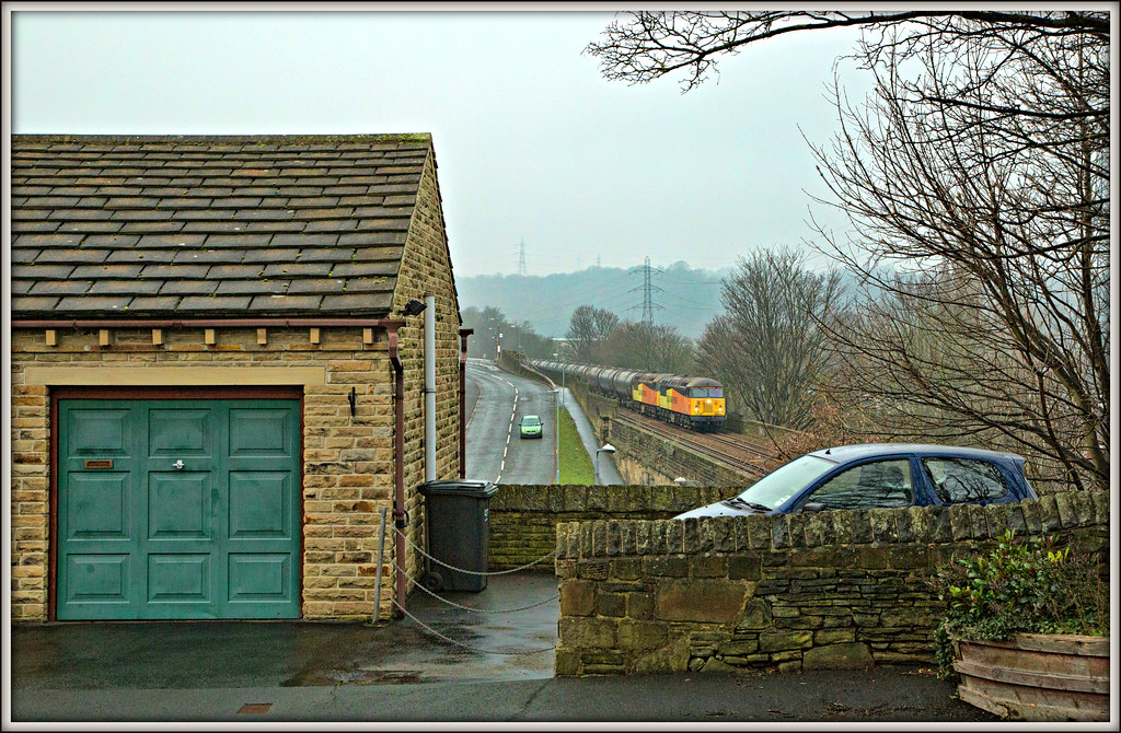
Garage-house Gridlock

South View Sunrise

Devil's Elbow

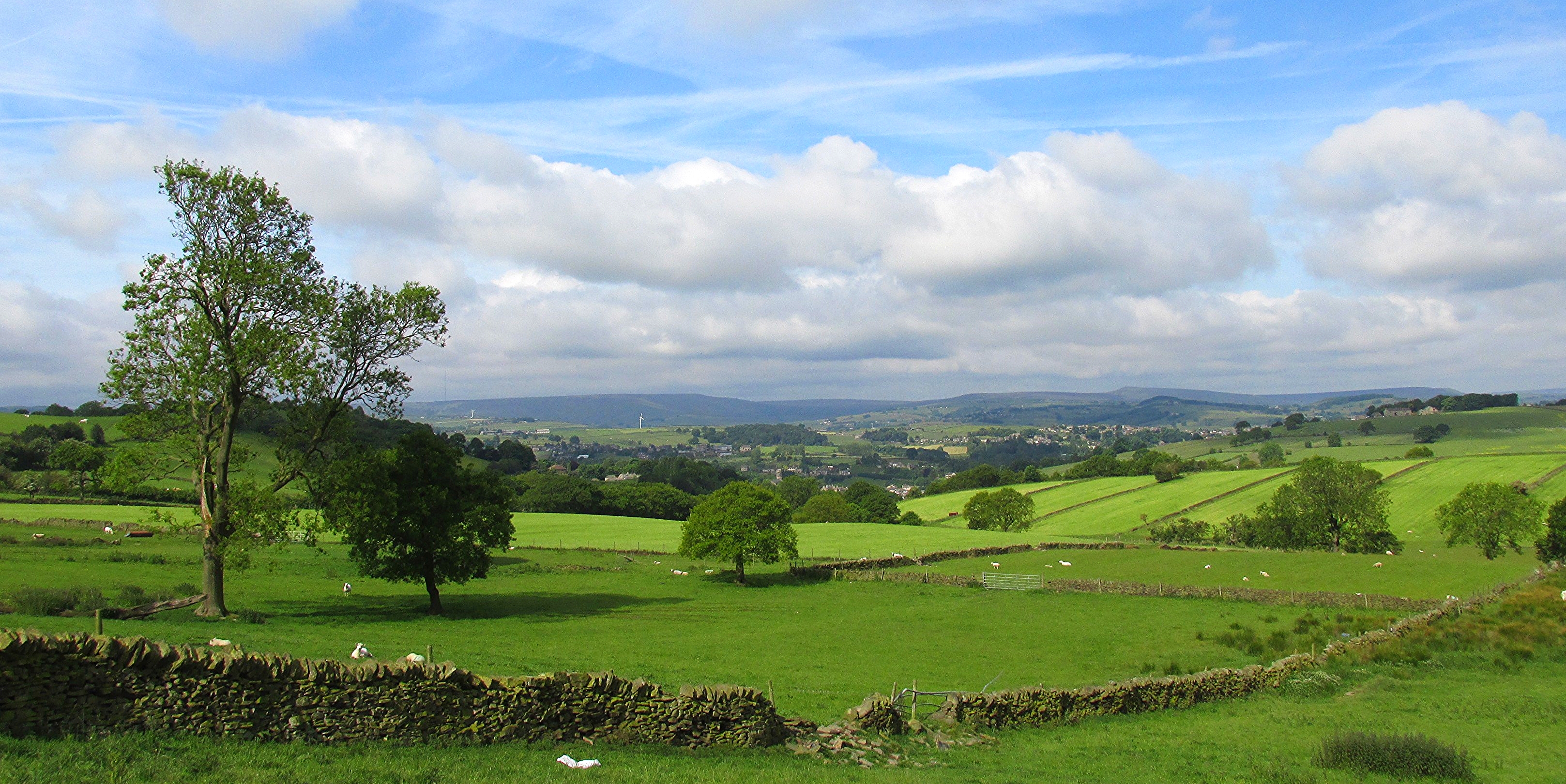
Brighouse landscape

Twilight at Hartshead in West Yorkshire.

A Whole lotta of Yorkshire

Wobbly Bob

Holme Moss West Yorkshire 3rd September 2020

View from the top

Margery stones.
Cranberry clough.

Castle Hill, Huddersfield, West Yorkshire, Uk.

River Derwent

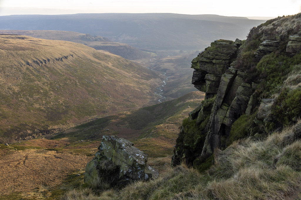
100 Peak tops...No 4...Laddow rocks.

Peak District at the UK

I Want To Go To The Beech

Dish Stone

LOW LEVELS at Readycon Dean Reservoir

Howden Reservoir

Family Outing

100 Peak tops...No 39...Whitwell moor.

Tranquility!

Lines and Angles
New Mill from Fulstone.

Anvil Stone

Howden Reservoir

Short Grain Waterfall
Topographic Map of Gulley Terrace, Holmfirth HD9 1ED, UK
Find elevation by address:

Places near Gulley Terrace, Holmfirth HD9 1ED, UK:
Gully Terrace
Hd9 2sj
Holmfirth Bus Station
7 Norridge Bottom, Holmfirth HD9 7BB, UK
Holmfirth
Hd9 1ax
Town End Road
31 Binns Ln
Hd9 3xt
Hd9 1sy
Upperthong Lane
Scholes Post Office
Hd9 2sf
Hade Edge
Holme View Avenue
Hd9 2ad
79 River Holme View
Upperthong
Hd9 2qr
Holme Valley
Recent Searches:
- Elevation map of Greenland, Greenland
- Elevation of Sullivan Hill, New York, New York, 10002, USA
- Elevation of Morehead Road, Withrow Downs, Charlotte, Mecklenburg County, North Carolina, 28262, USA
- Elevation of 2800, Morehead Road, Withrow Downs, Charlotte, Mecklenburg County, North Carolina, 28262, USA
- Elevation of Yangbi Yi Autonomous County, Yunnan, China
- Elevation of Pingpo, Yangbi Yi Autonomous County, Yunnan, China
- Elevation of Mount Malong, Pingpo, Yangbi Yi Autonomous County, Yunnan, China
- Elevation map of Yongping County, Yunnan, China
- Elevation of North 8th Street, Palatka, Putnam County, Florida, 32177, USA
- Elevation of 107, Big Apple Road, East Palatka, Putnam County, Florida, 32131, USA
- Elevation of Jiezi, Chongzhou City, Sichuan, China
- Elevation of Chongzhou City, Sichuan, China
- Elevation of Huaiyuan, Chongzhou City, Sichuan, China
- Elevation of Qingxia, Chengdu, Sichuan, China
- Elevation of Corso Fratelli Cairoli, 35, Macerata MC, Italy
- Elevation of Tallevast Rd, Sarasota, FL, USA
- Elevation of 4th St E, Sonoma, CA, USA
- Elevation of Black Hollow Rd, Pennsdale, PA, USA
- Elevation of Oakland Ave, Williamsport, PA, USA
- Elevation of Pedrógão Grande, Portugal