Elevation of Green Corner Rd, Hartford, TN, USA
Location: United States > Tennessee > Cocke County > Hartford >
Longitude: -83.092046
Latitude: 35.805945
Elevation: -10000m / -32808feet
Barometric Pressure: 295KPa
Elevation Map:
Satellite Map:
Related Photos:

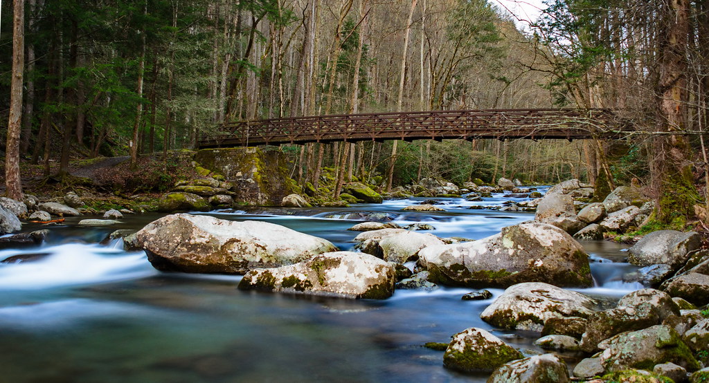
Almost Summer

Baxter Creek

Falls on Big Creek

Little Cataloochee Baptist Church 1889 - open on PC for 360 view
Baxter Creek Trailhead

Mount Cammerer

Foggy Day on Mt. Sterling

View from Max Patch, looking east

Mouse Creek Falls, Great Smoky Mountains National Park, North Carolina

Elk Grazing in Little Cataloochee

Midnight Hole Falls, 6 feet high

Celebrating the 4th of July

TrackHead Studios - Shady Mountain Top

TrackHead Studios - Foothills of Smoky Mts.

TrackHead Studios - The Scenic Route

Wild Geranium

Max Patch

The Smokey Mountains

View from Max Patch

View from Max Patch

Room with a view
Topographic Map of Green Corner Rd, Hartford, TN, USA
Find elevation by address:

Places near Green Corner Rd, Hartford, TN, USA:
3815 Green Corner Rd
Green Corner Road
3545 Grassy Fork Rd
Dogwood Stand Road
3590 Ford Rd
3575 Ford Rd
3252 Grassy Fork Rd
Hartford, TN, USA
4325 Dogwood Stand Rd
4410 Black Mountain Rd
Black Mountain Road
Big Creek Road
4220 Dogwood Stand Rd
4100 Dogwood Stand Rd
4326 Big Creek Rd
4326 Big Creek Rd
Faith Mountain Road
Mack Cemetery
4665 Teague Branch Rd
Rag Mountain Road
Recent Searches:
- Elevation of Corso Fratelli Cairoli, 35, Macerata MC, Italy
- Elevation of Tallevast Rd, Sarasota, FL, USA
- Elevation of 4th St E, Sonoma, CA, USA
- Elevation of Black Hollow Rd, Pennsdale, PA, USA
- Elevation of Oakland Ave, Williamsport, PA, USA
- Elevation of Pedrógão Grande, Portugal
- Elevation of Klee Dr, Martinsburg, WV, USA
- Elevation of Via Roma, Pieranica CR, Italy
- Elevation of Tavkvetili Mountain, Georgia
- Elevation of Hartfords Bluff Cir, Mt Pleasant, SC, USA