Elevation of Black Mountain Road, Black Mountain Rd, Tennessee, USA
Location: United States > Tennessee > Cocke County > Hartford >
Longitude: -83.111474
Latitude: 35.822057
Elevation: 575m / 1886feet
Barometric Pressure: 95KPa
Elevation Map:
Satellite Map:
Related Photos:

max patch

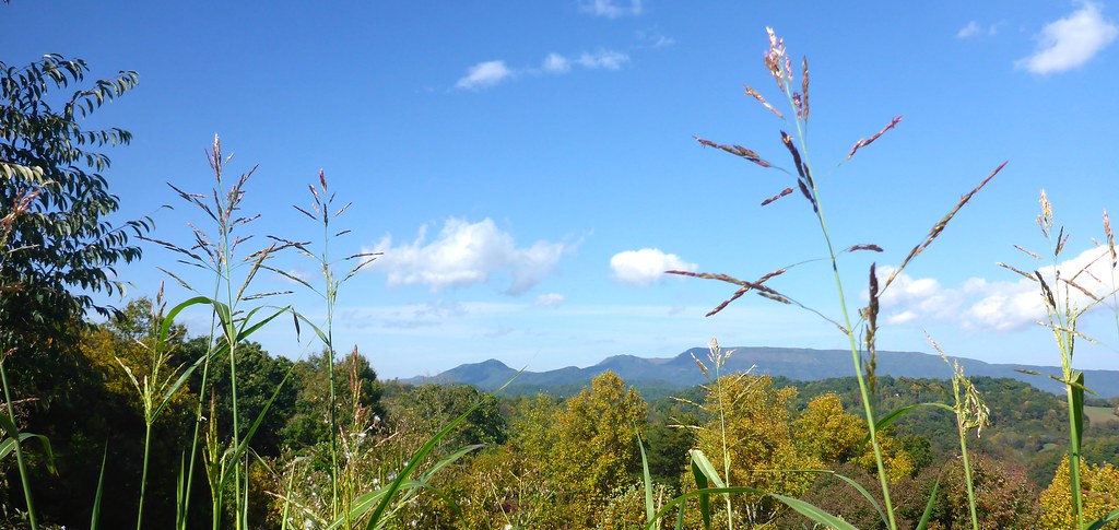
Almost Summer
TrackHead Studios - Vista

TrackHead Studios - Clouds Crawl Along

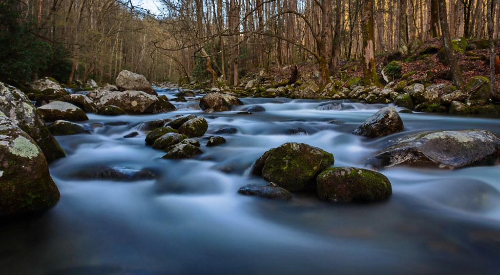
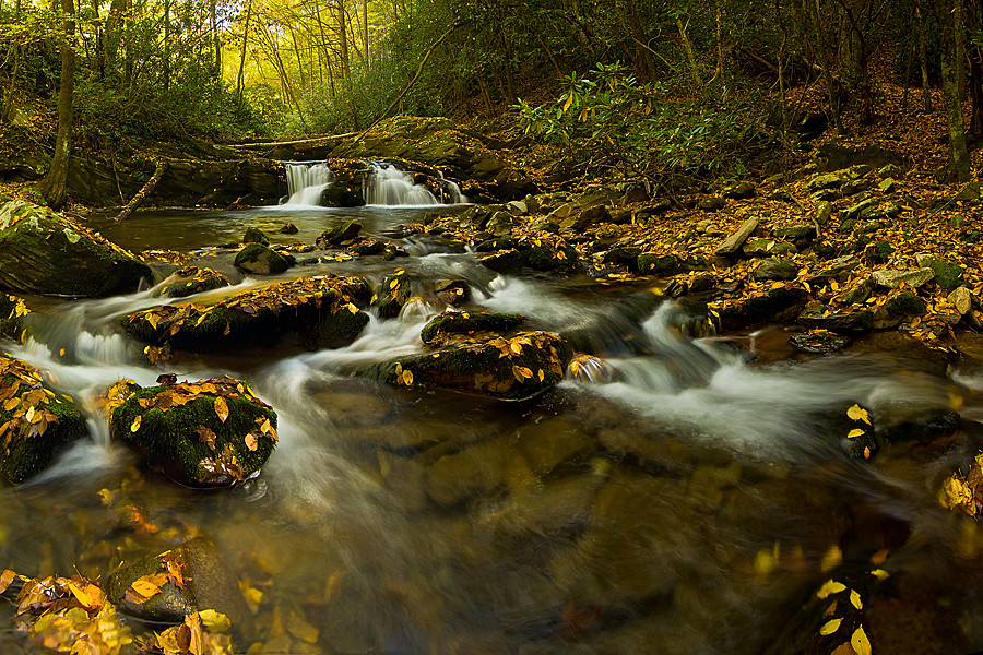
Cascades on Big Creek
Baxter Creek
TrackHead Studios - Shady Mountain Top
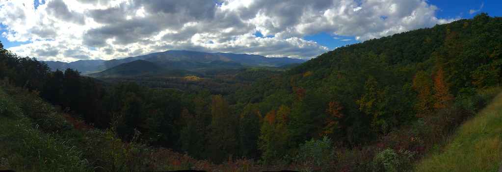
TrackHead Studios - Lovely Valley
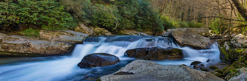
Falls on Big Creek
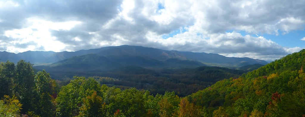
TrackHead Studios - Foothills of Smoky Mts.
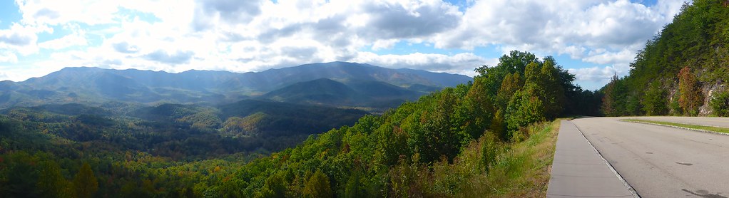
TrackHead Studios - The Scenic Route

Wild Geranium

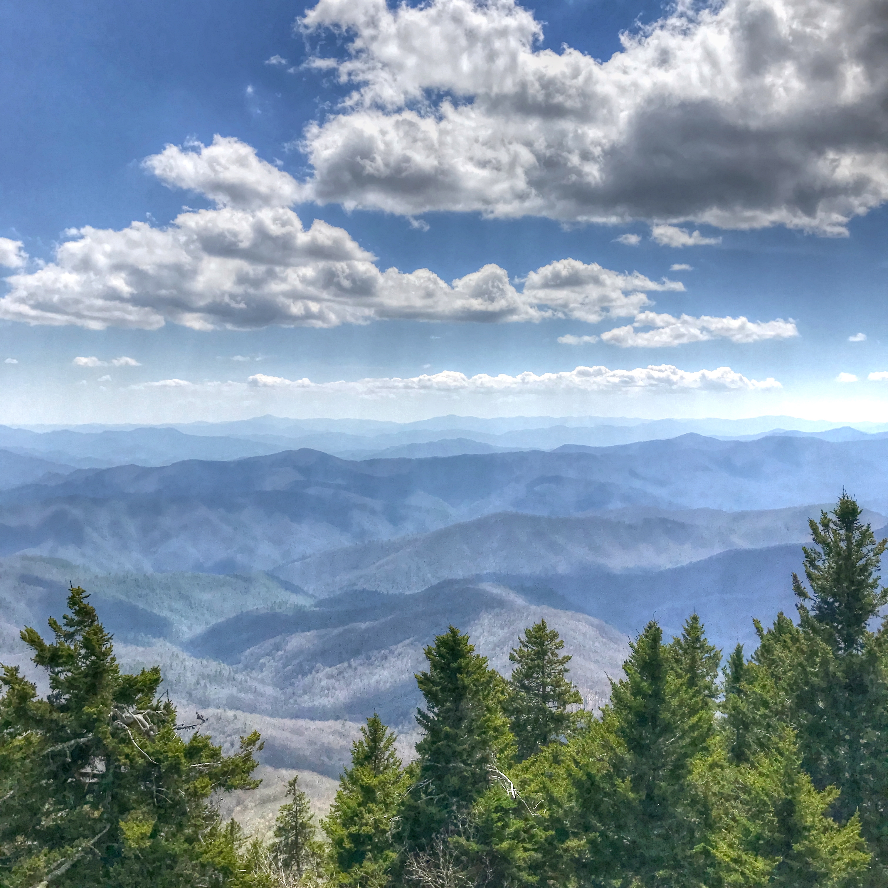
View From Max Patch

Room with a view

Fall on Max Patch

TrackHead Studios - Harvest Decorations

TrackHead Studios - Construction Silhouette
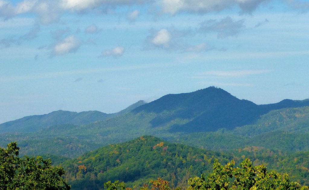
Mt. Sterling View 2

Rainbows over Max Patch
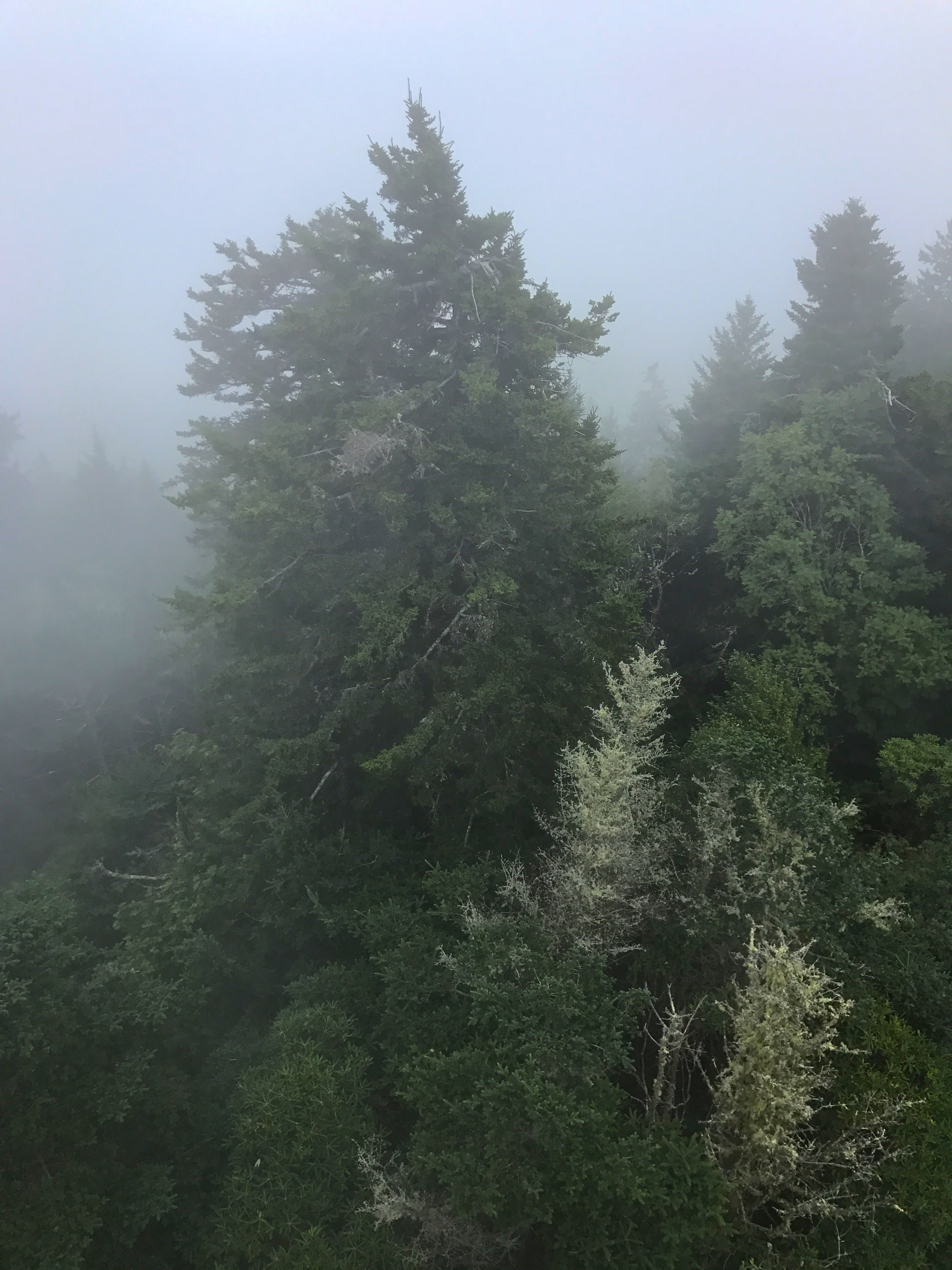
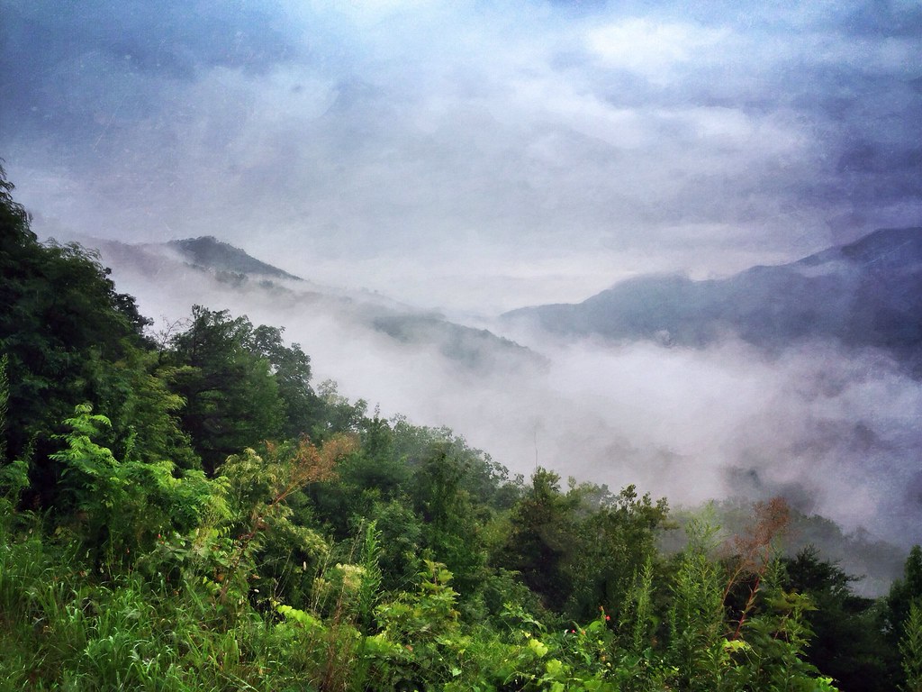
Foggy Day on Mt. Sterling

View from Max Patch, looking east
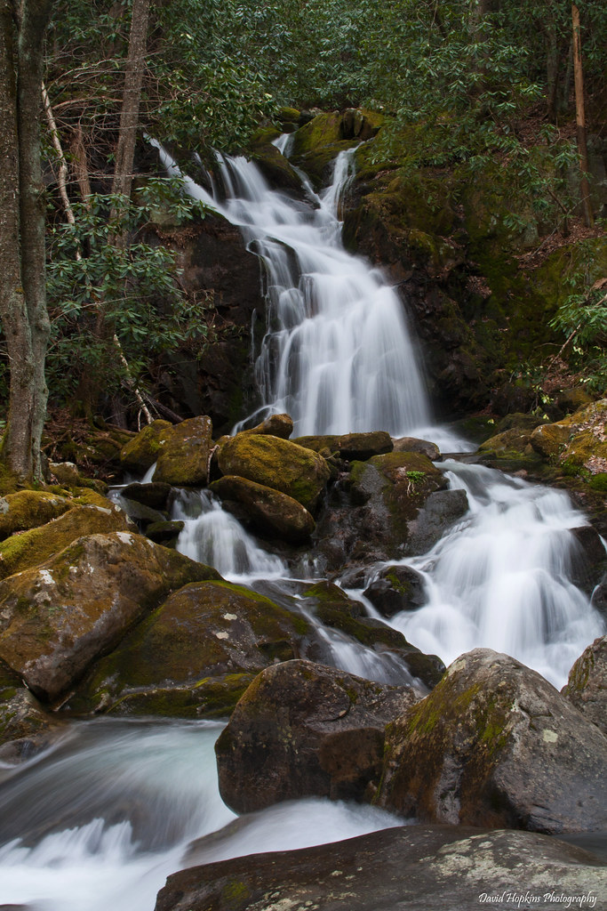
Mouse Creek Falls

20081020-114731.jpg
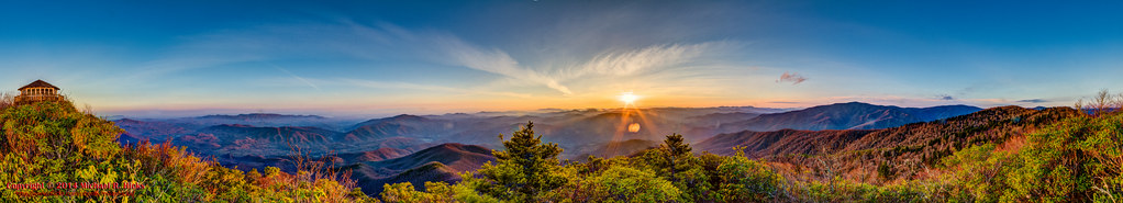
360º panorama from Mount Cammerer (HDR)
"The mountains are calling and I must go." John Muir
Harmon Den Creek in North Carolina.

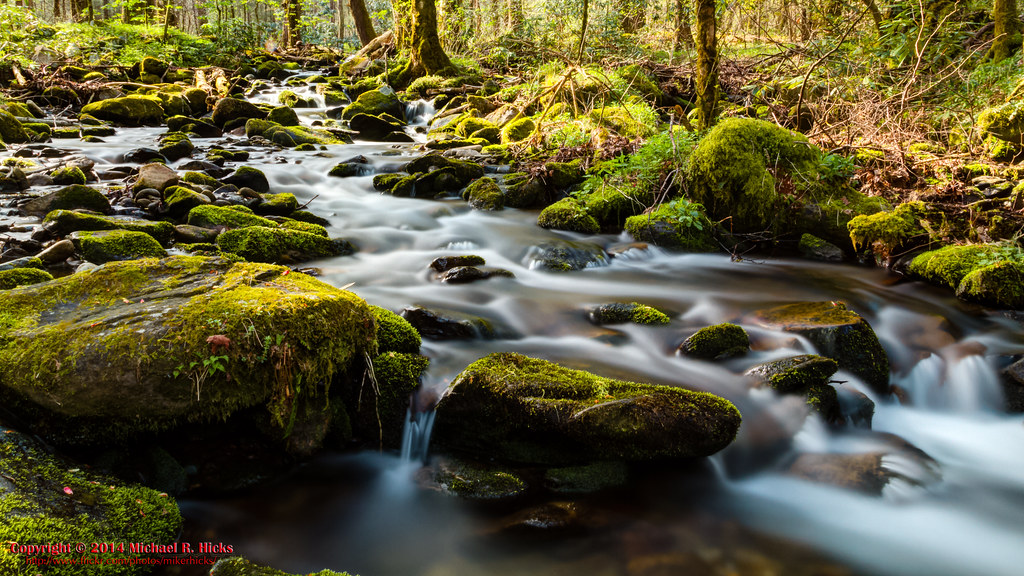
Big Creek

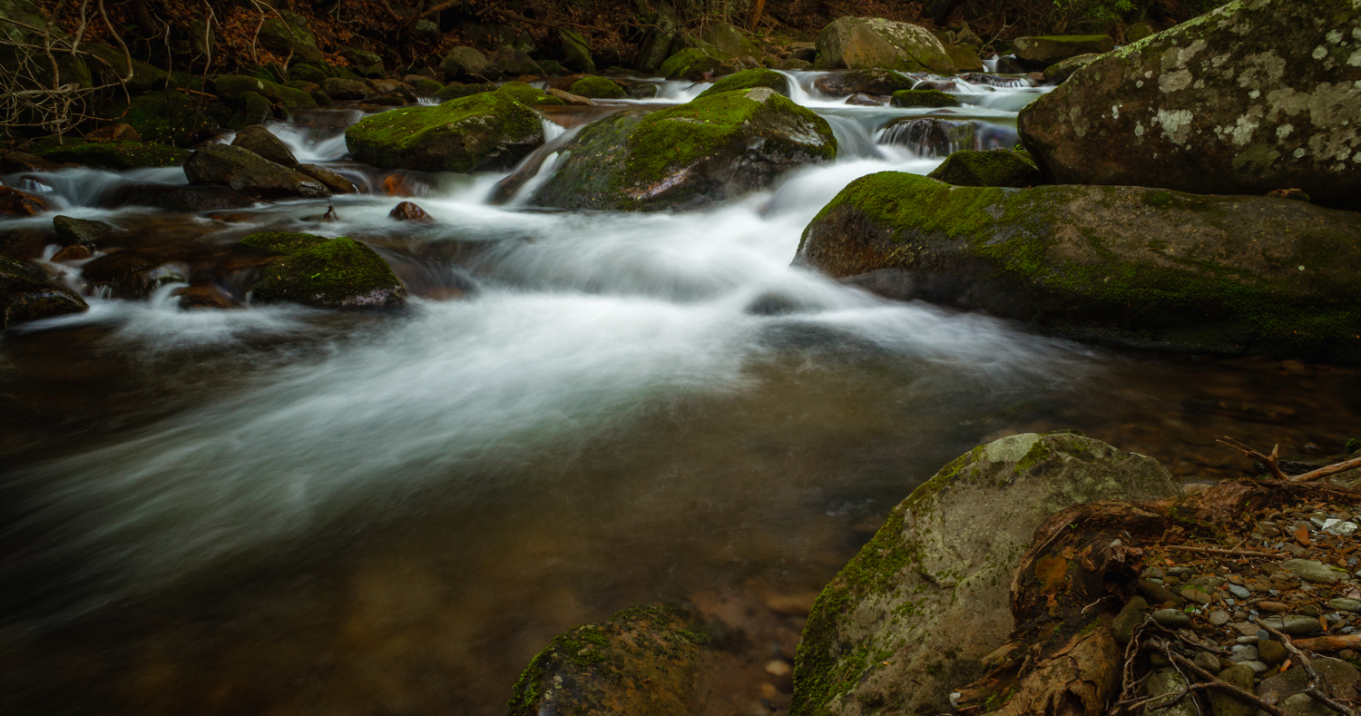
On Big Creek

Rainy Spring Day on Big Creek
Cosby Nature Trail - Cosby Creek
_MG_9146.jpg

Sunrise from Mount Cammerer - April, 2014
Topographic Map of Black Mountain Road, Black Mountain Rd, Tennessee, USA
Find elevation by address:

Places near Black Mountain Road, Black Mountain Rd, Tennessee, USA:
4410 Black Mountain Rd
Hartford, TN, USA
4325 Dogwood Stand Rd
Faith Mountain Road
4100 Dogwood Stand Rd
Dogwood Stand Road
4220 Dogwood Stand Rd
Mack Cemetery
Big Creek Road
3252 Grassy Fork Rd
Mack Cemetary Way
4326 Big Creek Rd
4326 Big Creek Rd
3676 Green Corner Rd
4165 Big Creek Rd
3815 Green Corner Rd
4050 Big Creek Rd
Green Corner Road
Cabbage County Road
4665 Teague Branch Rd
Recent Searches:
- Elevation of Corso Fratelli Cairoli, 35, Macerata MC, Italy
- Elevation of Tallevast Rd, Sarasota, FL, USA
- Elevation of 4th St E, Sonoma, CA, USA
- Elevation of Black Hollow Rd, Pennsdale, PA, USA
- Elevation of Oakland Ave, Williamsport, PA, USA
- Elevation of Pedrógão Grande, Portugal
- Elevation of Klee Dr, Martinsburg, WV, USA
- Elevation of Via Roma, Pieranica CR, Italy
- Elevation of Tavkvetili Mountain, Georgia
- Elevation of Hartfords Bluff Cir, Mt Pleasant, SC, USA