Elevation of Dogwood Stand Rd, Hartford, TN, USA
Location: United States > Tennessee > Cocke County > Hartford >
Longitude: -83.114439
Latitude: 35.8137996
Elevation: 665m / 2182feet
Barometric Pressure: 94KPa
Elevation Map:
Satellite Map:
Related Photos:

Elk Grazing in Little Cataloochee

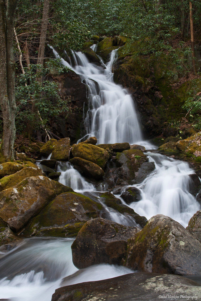
Midnight Hole Falls, 6 feet high
Baxter Creek

Falls on Big Creek
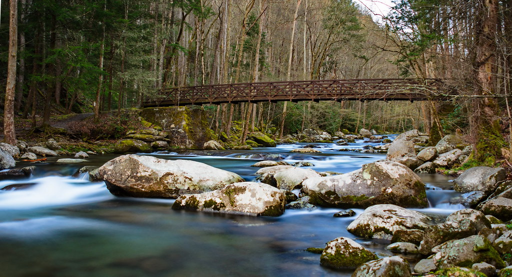
Baxter Creek Trailhead

TrackHead Studios - DO NOT TOUCH

Fall on Max Patch

Mount Cammerer

Mt. Sterling View 2

Rainbows over Max Patch

Hiked up to Max Patch for 360° of stunning views. #appalachiantrail #maxpatch #northcarolina

Mouse Creek Falls from Trail

Foggy Day on Mt. Sterling

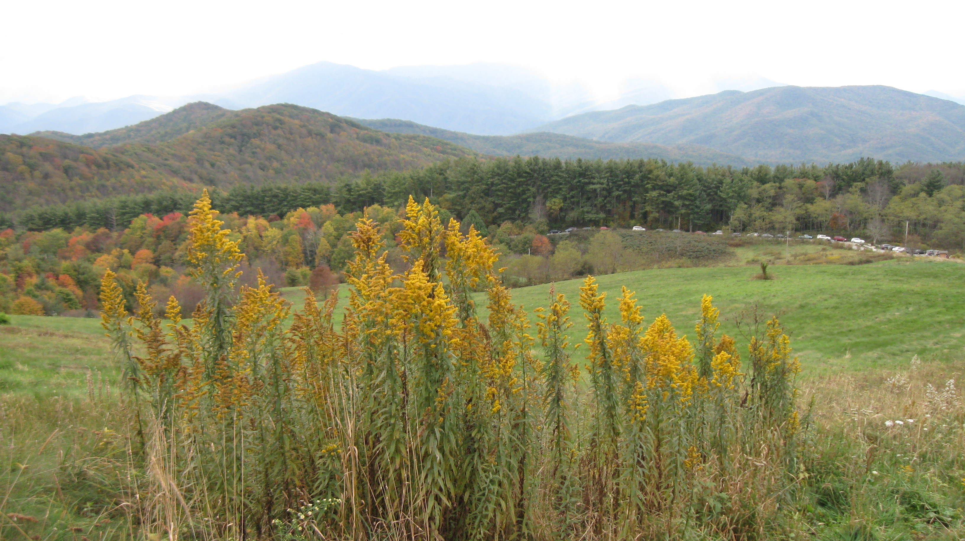
View from Max Patch, looking east
Max Patch - October 12, 2013-036
Buckeye Ridge, Max Patch, North Carolina

View from Max Patch, looking east

Max Patch - October 12, 2013-065

Max Patch - October 12, 2013-052

Max Patch - October 12, 2013-026

View from Snowbird Mtn - W4T/SU-035

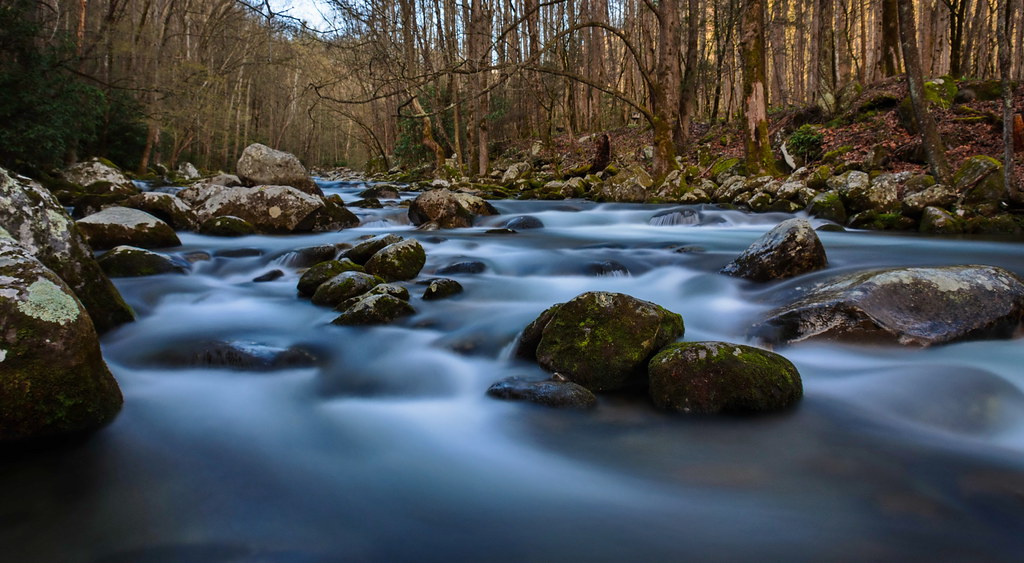
Cascades on Big Creek

Sunrise from Mount Sterling Firetower, Great Smoky Mountains NP

changing colors

Drv2NYC (890)

Almost Summer

Rainy Spring Day on Big Creek

Humpback Rock

Harmon Den Creek in North Carolina.

TrackHead Studios - Vista

Let's go for a Swim

Great Smoky Mountains National Park

The Hike

Mouse Creek Falls, Great Smoky Mountain National Park

Cosby Creek
Mouse Creek Falls

Mouse Creek Falls
Topographic Map of Dogwood Stand Rd, Hartford, TN, USA
Find elevation by address:

Places near Dogwood Stand Rd, Hartford, TN, USA:
4220 Dogwood Stand Rd
Hartford, TN, USA
4100 Dogwood Stand Rd
Mack Cemetery
Dogwood Stand Road
Black Mountain Road
4410 Black Mountain Rd
Mack Cemetary Way
Faith Mountain Road
Green Corner Road
3815 Green Corner Rd
3676 Green Corner Rd
Big Creek Road
3252 Grassy Fork Rd
Hartford
4326 Big Creek Rd
4326 Big Creek Rd
Mill Creek Road
1832 Barnes Valley Rd
3545 Grassy Fork Rd
Recent Searches:
- Elevation of Corso Fratelli Cairoli, 35, Macerata MC, Italy
- Elevation of Tallevast Rd, Sarasota, FL, USA
- Elevation of 4th St E, Sonoma, CA, USA
- Elevation of Black Hollow Rd, Pennsdale, PA, USA
- Elevation of Oakland Ave, Williamsport, PA, USA
- Elevation of Pedrógão Grande, Portugal
- Elevation of Klee Dr, Martinsburg, WV, USA
- Elevation of Via Roma, Pieranica CR, Italy
- Elevation of Tavkvetili Mountain, Georgia
- Elevation of Hartfords Bluff Cir, Mt Pleasant, SC, USA