Elevation of Great Western Cattle Trail, Butler, OK, USA
Location: United States > Oklahoma > Custer County >
Longitude: -99.1951275
Latitude: 35.6856053
Elevation: -10000m / -32808feet
Barometric Pressure: 0KPa
Related Photos:

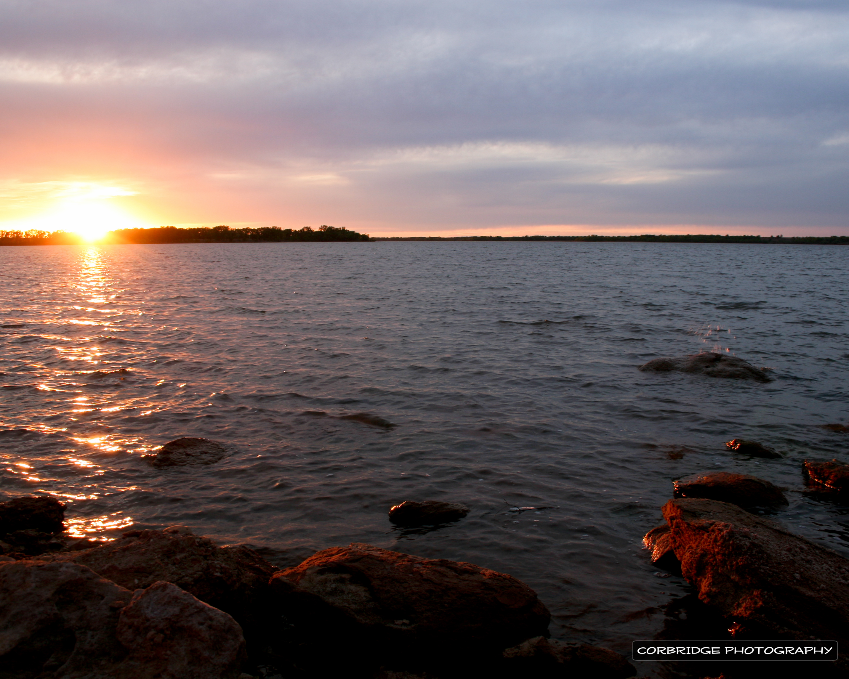
foss sunset
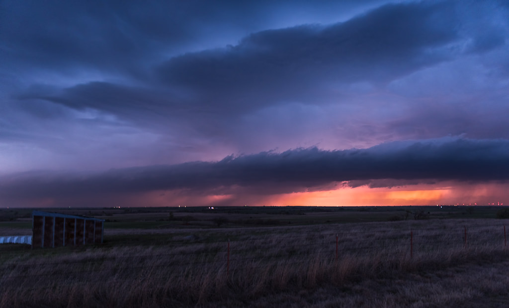
foss sunset

Bald Eagle
Disco Clouds

Something on the nest

Adult Bald Eagles

DSC_8402-2a

DSC_8404-2a

DSC_8406-2a
DSC_8422-2a
DSC_8423-2a

DSC_8429-2a

Baby Bald Eagle

Eastern Bluebird

Belted Kingfisher

Bald Eagle

Keep Out

Northern Bobwhite Pair

Cedar Waxwing

Cedar Waxwing

Cedar Waxwing

Great Blue Heron

Cedar Waxwing
Topographic Map of Great Western Cattle Trail, Butler, OK, USA
Find elevation by address:

Places near Great Western Cattle Trail, Butler, OK, USA:
Marina Road
N Rd, Clinton, OK, USA
Prairie View Cemetery
Custer County
Canute
N 5th St, Clinton, OK, USA
Putnam
Clinton
N Rd, Custer City, OK, USA
OK-44, Foss, OK, USA
2nd St, Camargo, OK, USA
Elk City
E 3rd St, Elk City, OK, USA
Camargo
Elk City, OK, USA
919 W E Ave
1707 W Country Club Blvd
Main St, Bessie, OK, USA
Taloga
Dewey County
Recent Searches:
- Elevation map of Greenland, Greenland
- Elevation of Sullivan Hill, New York, New York, 10002, USA
- Elevation of Morehead Road, Withrow Downs, Charlotte, Mecklenburg County, North Carolina, 28262, USA
- Elevation of 2800, Morehead Road, Withrow Downs, Charlotte, Mecklenburg County, North Carolina, 28262, USA
- Elevation of Yangbi Yi Autonomous County, Yunnan, China
- Elevation of Pingpo, Yangbi Yi Autonomous County, Yunnan, China
- Elevation of Mount Malong, Pingpo, Yangbi Yi Autonomous County, Yunnan, China
- Elevation map of Yongping County, Yunnan, China
- Elevation of North 8th Street, Palatka, Putnam County, Florida, 32177, USA
- Elevation of 107, Big Apple Road, East Palatka, Putnam County, Florida, 32131, USA
- Elevation of Jiezi, Chongzhou City, Sichuan, China
- Elevation of Chongzhou City, Sichuan, China
- Elevation of Huaiyuan, Chongzhou City, Sichuan, China
- Elevation of Qingxia, Chengdu, Sichuan, China
- Elevation of Corso Fratelli Cairoli, 35, Macerata MC, Italy
- Elevation of Tallevast Rd, Sarasota, FL, USA
- Elevation of 4th St E, Sonoma, CA, USA
- Elevation of Black Hollow Rd, Pennsdale, PA, USA
- Elevation of Oakland Ave, Williamsport, PA, USA
- Elevation of Pedrógão Grande, Portugal