Elevation of 2nd St, Camargo, OK, USA
Location: United States > Oklahoma > Dewey County > Camargo >
Longitude: -99.285756
Latitude: 36.0166847
Elevation: 592m / 1942feet
Barometric Pressure: 94KPa
Elevation Map:
Satellite Map:
Related Photos:

Think about
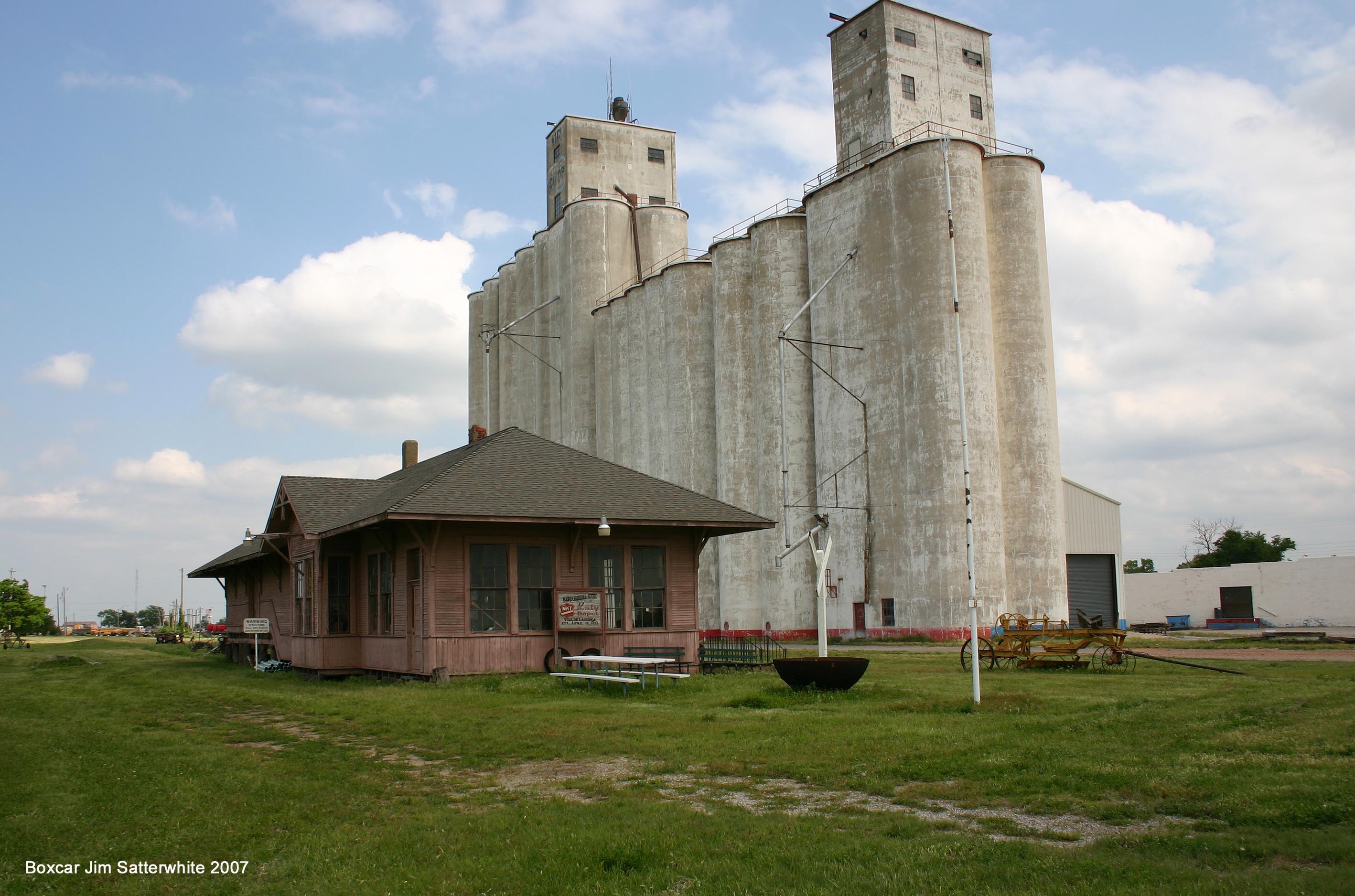
MKT Vici OK

Post Office 73835 (Camargo, Oklahoma)
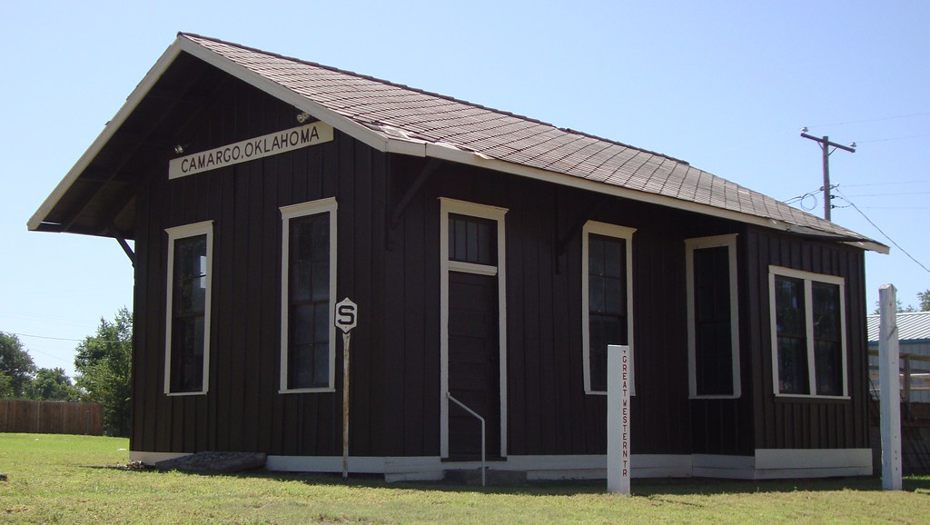
Old Railroad Depot (Camargo, Oklahoma)
Topographic Map of 2nd St, Camargo, OK, USA
Find elevation by address:

Places near 2nd St, Camargo, OK, USA:
Camargo
Innis Ave, Sharon, OK, USA
Sharon
Taloga
710 E Noble Ave
Great Western Cattle Trail
Putnam
Dewey County
County Road
Seiling
Woodward County
Chester
1423 Elm Ave
Woodward
Mooreland
N Main St, Mooreland, OK, USA
Boiling Springs State Park
197897 E County Rd 41
Prairie View Cemetery
Cheyenne
Recent Searches:
- Elevation of Corso Fratelli Cairoli, 35, Macerata MC, Italy
- Elevation of Tallevast Rd, Sarasota, FL, USA
- Elevation of 4th St E, Sonoma, CA, USA
- Elevation of Black Hollow Rd, Pennsdale, PA, USA
- Elevation of Oakland Ave, Williamsport, PA, USA
- Elevation of Pedrógão Grande, Portugal
- Elevation of Klee Dr, Martinsburg, WV, USA
- Elevation of Via Roma, Pieranica CR, Italy
- Elevation of Tavkvetili Mountain, Georgia
- Elevation of Hartfords Bluff Cir, Mt Pleasant, SC, USA