Elevation of Custer County, OK, USA
Location: United States > Oklahoma >
Longitude: -98.9245343
Latitude: 35.6710818
Elevation: 520m / 1706feet
Barometric Pressure: 0KPa
Related Photos:

2013-04-26_1646

77 Counties - Custer County

House on the Hill

Backroad Drive (Olympus SZ-16)

Pickup truck under mammatus clouds - near Woodward, Oklahoma

W-JO-22 Wagon

Backroad Drive (Olympus SZ-16)

Backroad Drive (Olympus SZ-16)

Backroad Drive (Olympus SZ-16)
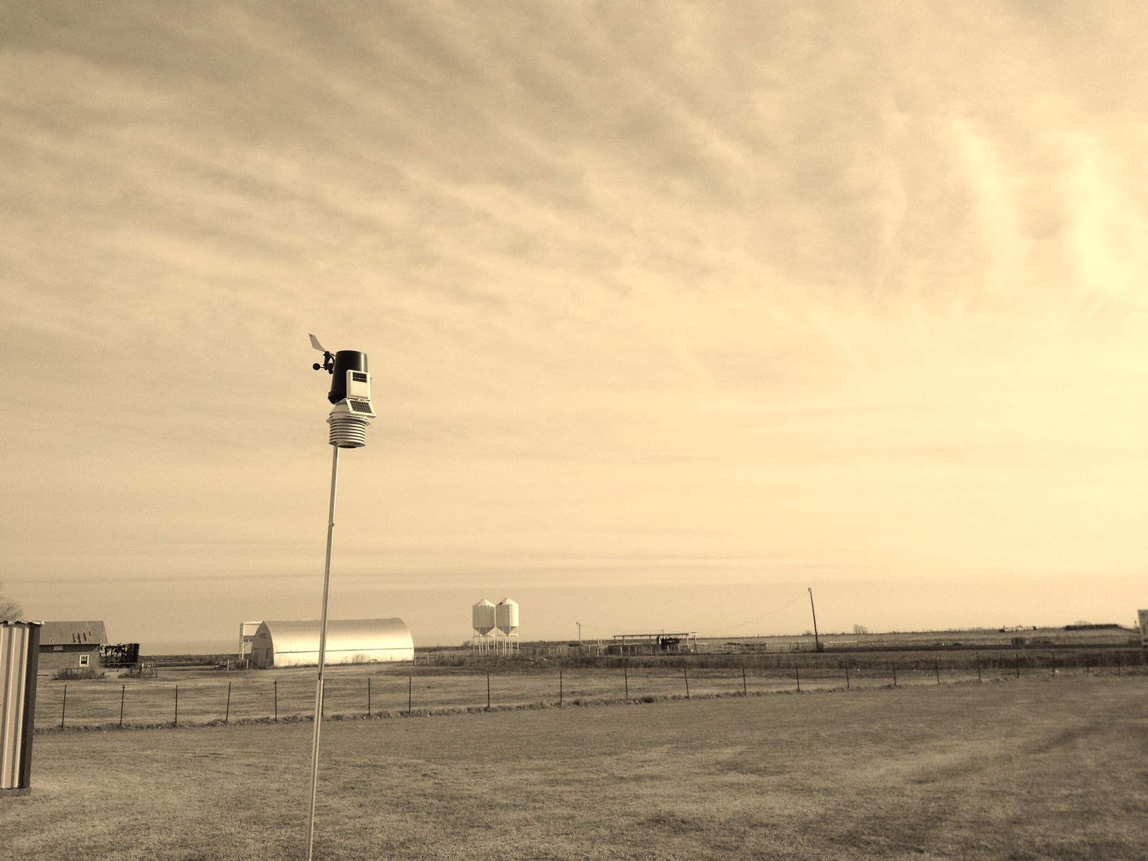
WX Station Photo

Custer City, Oklahoma
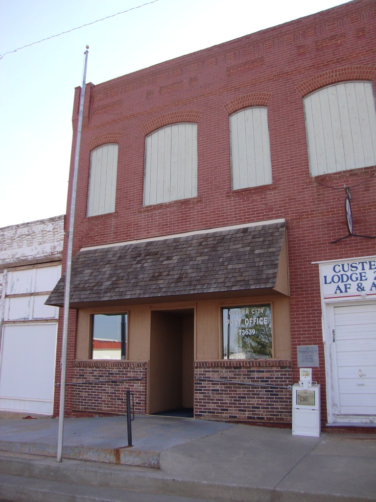
Post Office 73639 (Custer City, Oklahoma)

Historic Bank Block (Custer City, Oklahoma)
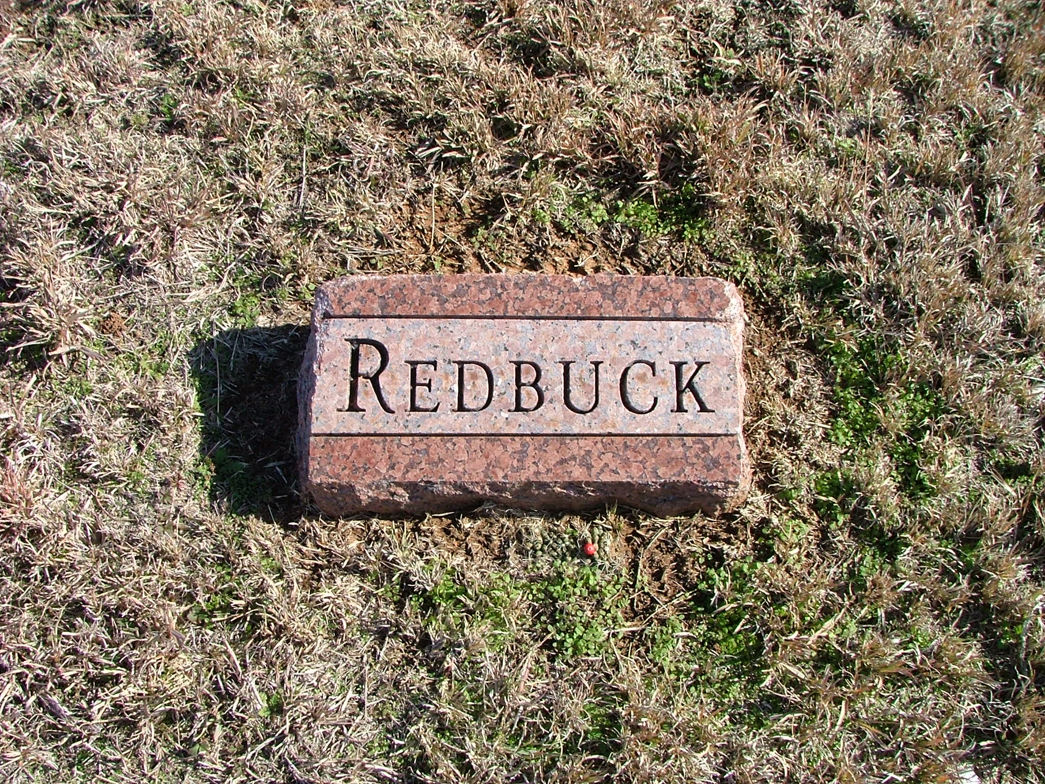
Red Buck

W-UE-20 Winch

W-UE-20 Winch

W-UE-20 Winch

W-UE-20 Winch

W-JO-22 Wagon
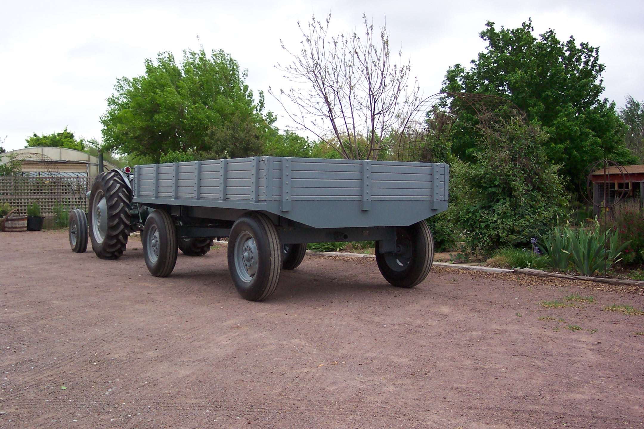
W-JO-22 Wagon

T-JO-20 Transport Box

B-JO-A-20 Soil Scoop
Topographic Map of Custer County, OK, USA
Find elevation by address:

Places in Custer County, OK, USA:
Clinton
Great Western Cattle Trail
N Rd, Custer City, OK, USA
Prairie View Cemetery
Weatherford
Thomas
Places near Custer County, OK, USA:
Prairie View Cemetery
N Rd, Custer City, OK, USA
N 5th St, Clinton, OK, USA
Clinton
Putnam
Thomas
N Rd, Clinton, OK, USA
Southwestern Oklahoma State University
Weatherford
Great Western Cattle Trail
Main St, Bessie, OK, USA
Marina Road
1st Ave, Fay, OK, USA
Fay
Dewey County
Washita County
Hydro
Taloga
710 E Noble Ave
OK-44, Foss, OK, USA
Recent Searches:
- Elevation of 24, Auburn Bay Crescent SE, Auburn Bay, Calgary, Alberta, T3M 0A6, Canada
- Elevation of Denver, 2314, Arapahoe Street, Five Points, Denver, Colorado, 80205, USA
- Elevation of Community of the Beatitudes, 2924, West 43rd Avenue, Sunnyside, Denver, Colorado, 80211, USA
- Elevation map of Litang County, Sichuan, China
- Elevation map of Madoi County, Qinghai, China
- Elevation of 3314, Ohio State Route 114, Payne, Paulding County, Ohio, 45880, USA
- Elevation of Sarahills Drive, Saratoga, Santa Clara County, California, 95070, USA
- Elevation of Town of Bombay, Franklin County, New York, USA
- Elevation of 9, Convent Lane, Center Moriches, Suffolk County, New York, 11934, USA
- Elevation of Saint Angelas Convent, 9, Convent Lane, Center Moriches, Suffolk County, New York, 11934, USA
- Elevation of 131st Street Southwest, Mukilteo, Snohomish County, Washington, 98275, USA
- Elevation of 304, Harrison Road, Naples, Cumberland County, Maine, 04055, USA
- Elevation of 2362, Timber Ridge Road, Harrisburg, Cabarrus County, North Carolina, 28075, USA
- Elevation of Ridge Road, Marshalltown, Marshall County, Iowa, 50158, USA
- Elevation of 2459, Misty Shadows Drive, Pigeon Forge, Sevier County, Tennessee, 37862, USA
- Elevation of 8043, Brightwater Way, Spring Hill, Williamson County, Tennessee, 37179, USA
- Elevation of Starkweather Road, San Luis, Costilla County, Colorado, 81152, USA
- Elevation of 5277, Woodside Drive, Baton Rouge, East Baton Rouge Parish, Louisiana, 70808, USA
- Elevation of 1139, Curtin Street, Shepherd Park Plaza, Houston, Harris County, Texas, 77018, USA
- Elevation of 136, Sellers Lane, Repton, Monroe County, Alabama, 36475, USA