Elevation of Great Falls, MT, USA
| Latitude | 47.3016974 |
|---|---|
| Longitude | -111.351791 |
| Elevation | 1259m / 4131feet |
| Barometric Pressure | 871KPa |
Related Photos:
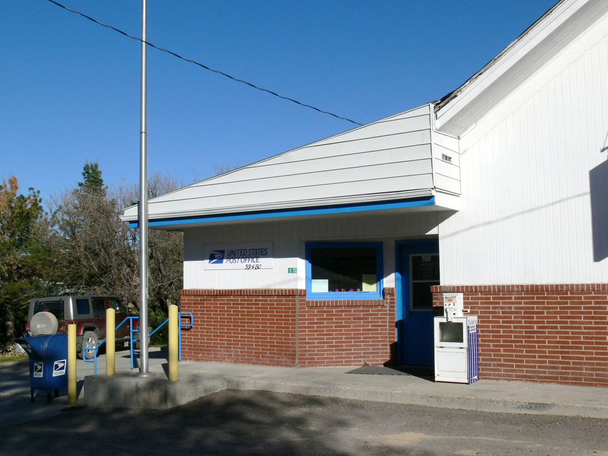
Stockett, Montana 59480
Giffen, Montana

Inside all of us...
20170822 0922 pentax k-1 3983 80mm

Triticum aestivum
20131018095938.jpg
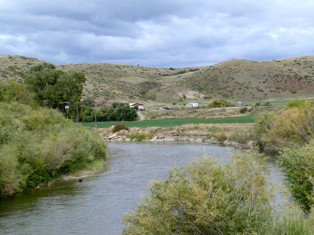
Orr, Montana
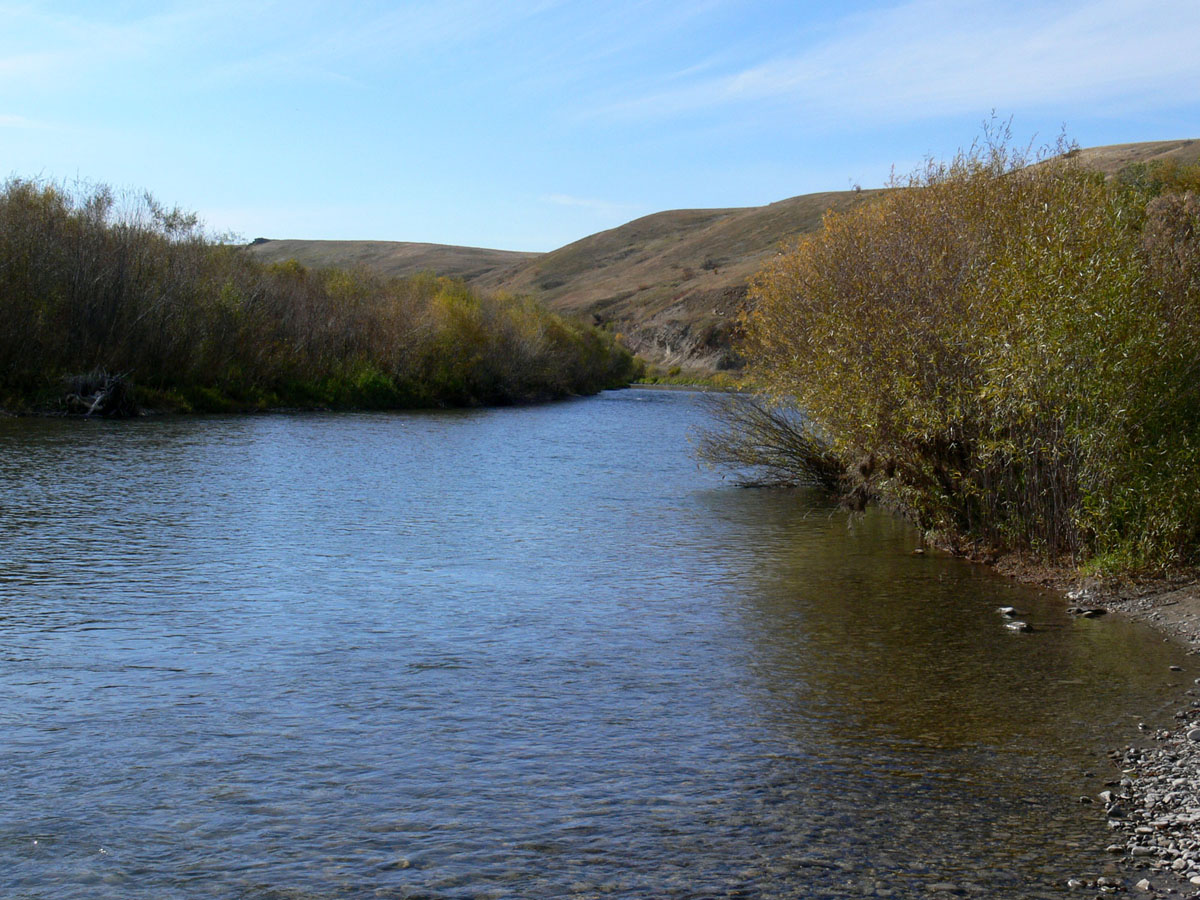
Orr, Montana
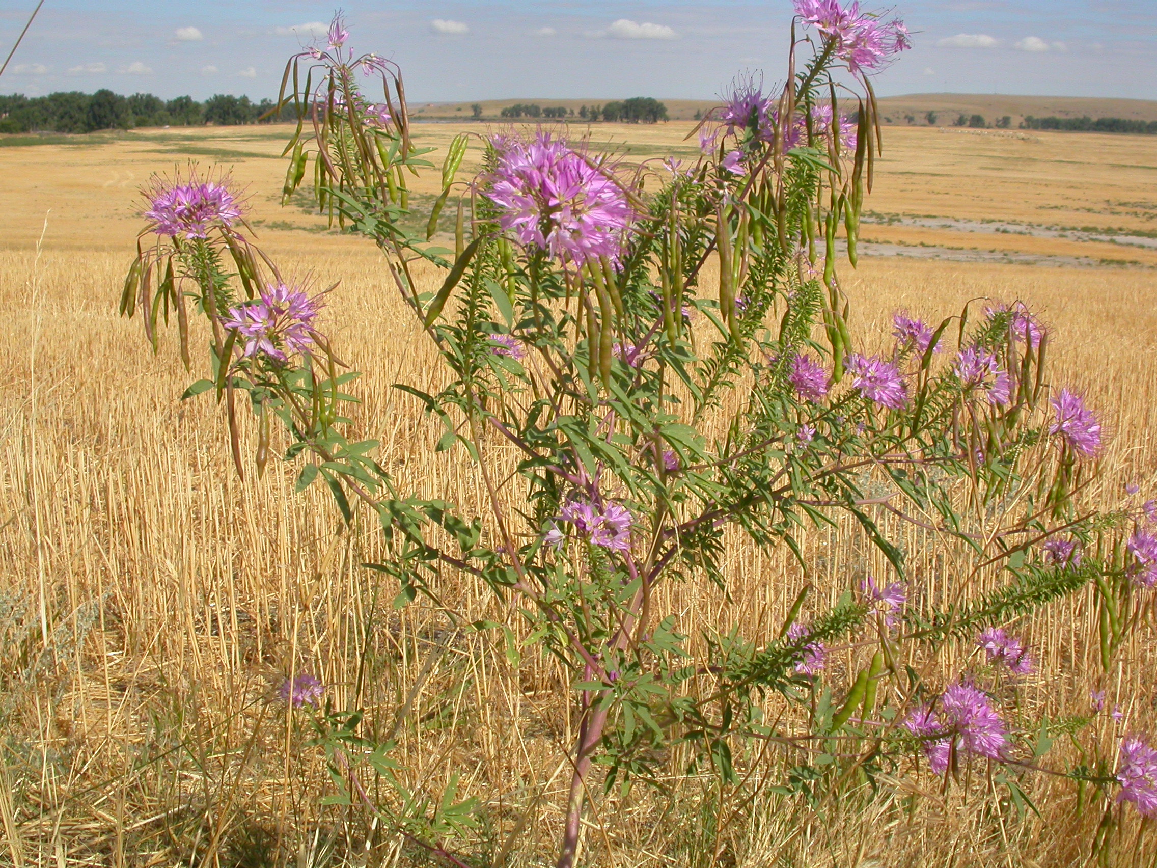
Cleome serrulata
20131018095925.jpg
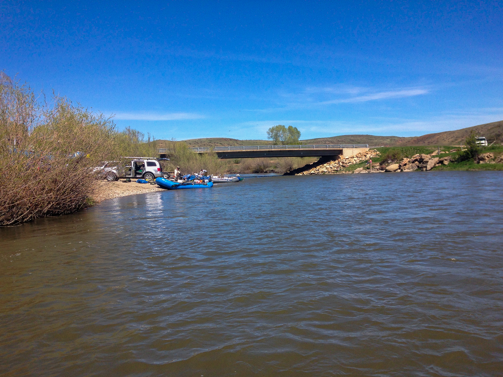
Smith River
Topographic Map of Great Falls, MT, USA
Find elevation by address:
Places near Great Falls, MT, USA:
Milligan Rd, Cascade, MT, USA
282 10 Mile Rd
9 Bear Paw Pl
15 Cougar Dr
80 Hawk Dr
10 Shamrock Ln
3700 Huckleberry Dr
3508 Grizzly Ct
2717 Ivy Dr
2700 Acacia Way
Great Falls International Airport
46 Eaton Ave, Great Falls, MT, USA
Gibson Flats
775 Bay Dr
Great Falls
5th Ave S, Great Falls, MT, USA
1100 1st Ave Nw
400 Central Ave
3001 5th Ave Nw
912 Avenue B Nw
Recent Searches:
- Elevation of Burnt Store Village, Charlotte County, Florida, 33955, USA
- Elevation of 26552, Angelica Road, Punta Gorda, Charlotte County, Florida, 33955, USA
- Elevation of 104, Chancery Road, Middletown Township, Bucks County, Pennsylvania, 19047, USA
- Elevation of 1212, Cypress Lane, Dayton, Liberty County, Texas, 77535, USA
- Elevation map of Central Hungary, Hungary
- Elevation map of Pest, Central Hungary, Hungary
- Elevation of Pilisszentkereszt, Pest, Central Hungary, Hungary
- Elevation of Dharamkot Tahsil, Punjab, India
- Elevation of Bhinder Khurd, Dharamkot Tahsil, Punjab, India
- Elevation of 2881, Chabot Drive, San Bruno, San Mateo County, California, 94066, USA
- Elevation of 10370, West 107th Circle, Westminster, Jefferson County, Colorado, 80021, USA
- Elevation of 611, Roman Road, Old Ford, Bow, London, England, E3 2RW, United Kingdom
- Elevation of 116, Beartown Road, Underhill, Chittenden County, Vermont, 05489, USA
- Elevation of Window Rock, Colfax County, New Mexico, 87714, USA
- Elevation of 4807, Rosecroft Street, Kempsville Gardens, Virginia Beach, Virginia, 23464, USA
- Elevation map of Matawinie, Quebec, Canada
- Elevation of Sainte-Émélie-de-l'Énergie, Matawinie, Quebec, Canada
- Elevation of Rue du Pont, Sainte-Émélie-de-l'Énergie, Matawinie, Quebec, J0K2K0, Canada
- Elevation of 8, Rue de Bécancour, Blainville, Thérèse-De Blainville, Quebec, J7B1N2, Canada
- Elevation of Wilmot Court North, 163, University Avenue West, Northdale, Waterloo, Region of Waterloo, Ontario, N2L6B6, Canada