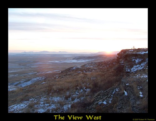
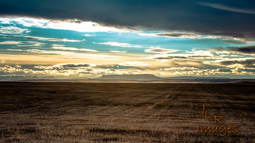
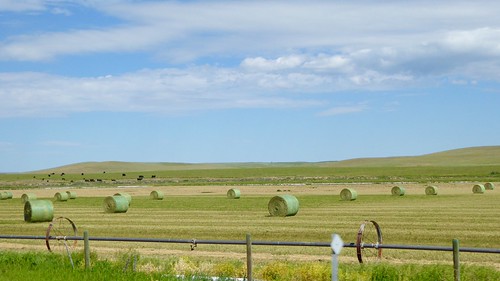
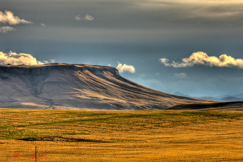
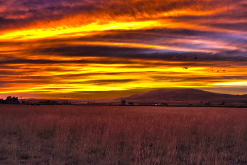
Elevation map of Cascade County, MT, USA
Location: United States > Montana >
Longitude: -111.54532
Latitude: 47.4688355
Elevation: 1036m / 3399feet
Barometric Pressure: 89KPa
Related Photos:
Topographic Map of Cascade County, MT, USA
Find elevation by address:

Places in Cascade County, MT, USA:
Cascade
Great Falls
Belt
Fort Shaw
Floweree
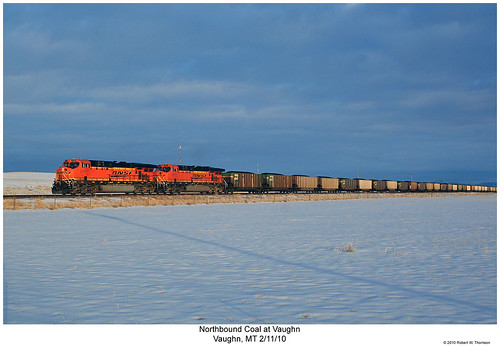
Vaughn
Sun River
46 Eaton Ave, Great Falls, MT, USA
Evans Riceville Rd, Stockett, MT, USA
Neihart
Gibson Flats
Places near Cascade County, MT, USA:
Vaughn
250 Luebbe Rd
Great Falls, MT, USA
Milligan Rd, Cascade, MT, USA
Sun River
192 Dracut Hill Rd
3001 5th Ave Nw
Great Falls International Airport
1930 28th St Nw
3700 Huckleberry Dr
2717 Ivy Dr
2700 Acacia Way
86 Golden Valley Loop
1100 1st Ave Nw
912 Avenue B Nw
3508 Grizzly Ct
282 10 Mile Rd
15 Cougar Dr
9 Bear Paw Pl
775 Bay Dr
Recent Searches:
- Elevation of Corso Fratelli Cairoli, 35, Macerata MC, Italy
- Elevation of Tallevast Rd, Sarasota, FL, USA
- Elevation of 4th St E, Sonoma, CA, USA
- Elevation of Black Hollow Rd, Pennsdale, PA, USA
- Elevation of Oakland Ave, Williamsport, PA, USA
- Elevation of Pedrógão Grande, Portugal
- Elevation of Klee Dr, Martinsburg, WV, USA
- Elevation of Via Roma, Pieranica CR, Italy
- Elevation of Tavkvetili Mountain, Georgia
- Elevation of Hartfords Bluff Cir, Mt Pleasant, SC, USA
