Elevation of Graves County, KY, USA
Location: United States > Kentucky >
Longitude: -88.710896
Latitude: 36.6887728
Elevation: 129m / 423feet
Barometric Pressure: 100KPa
Elevation Map:
Satellite Map:
Related Photos:
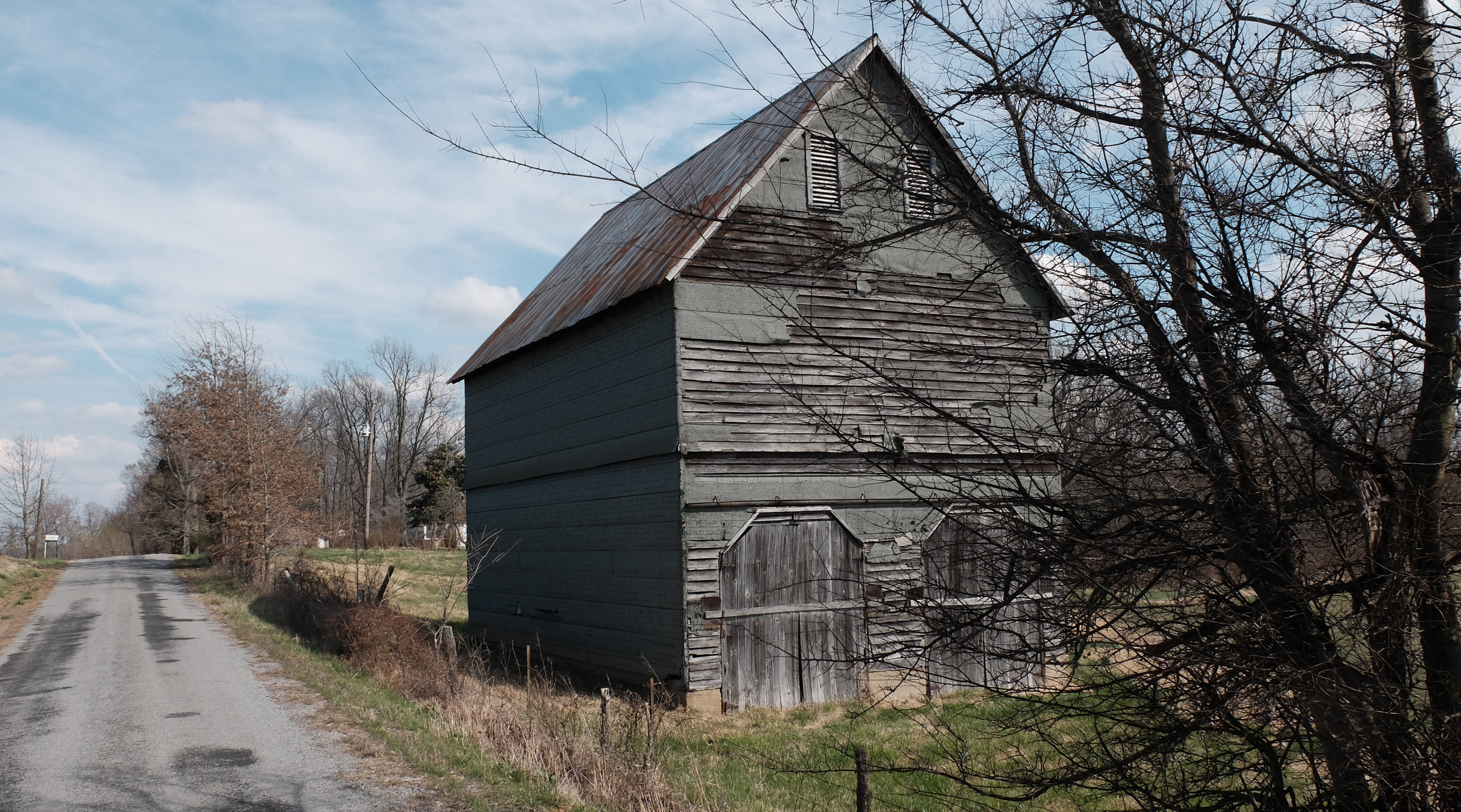
Wingo Barn X30

4:41 PM

Golden bales

Lovely Sunset

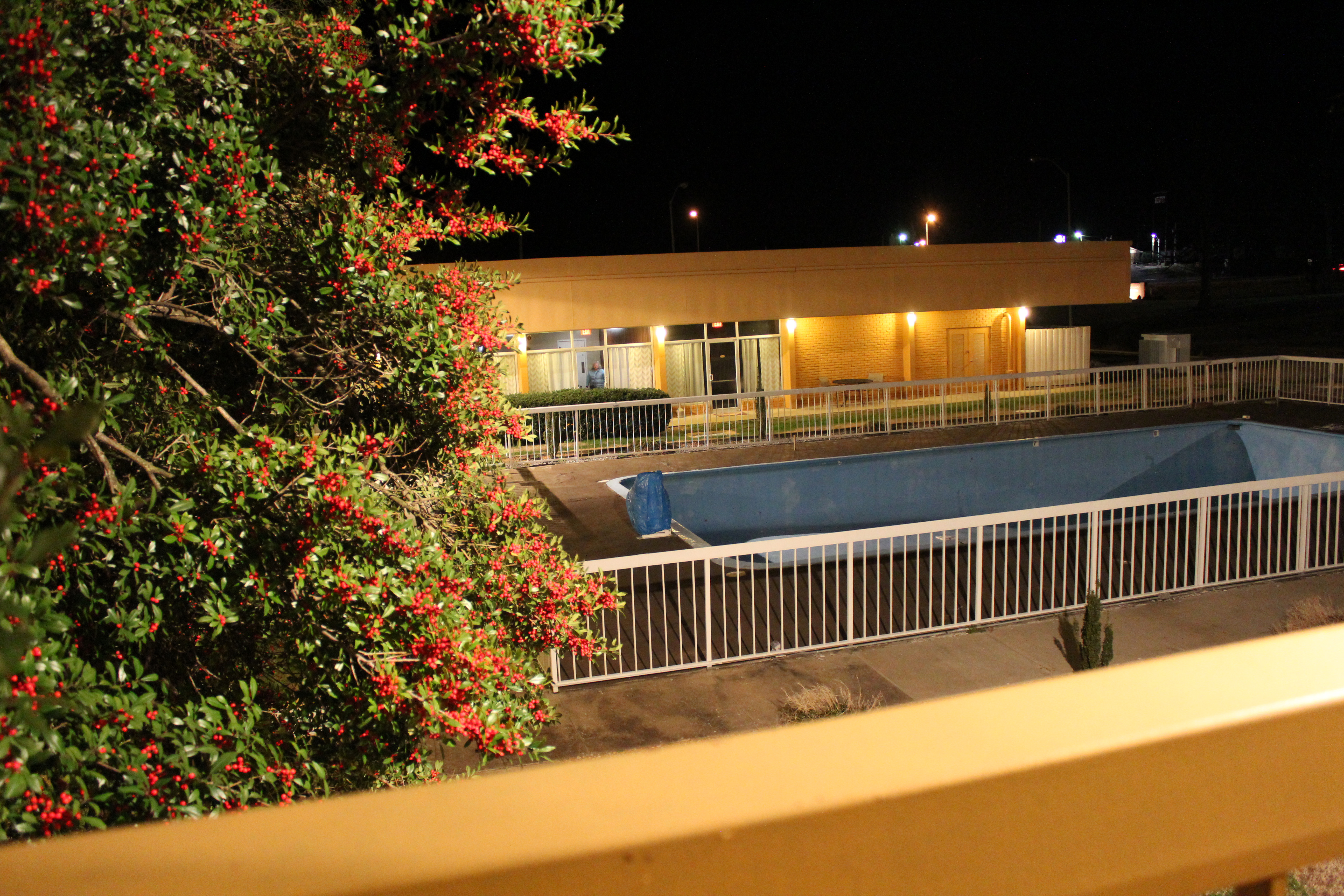
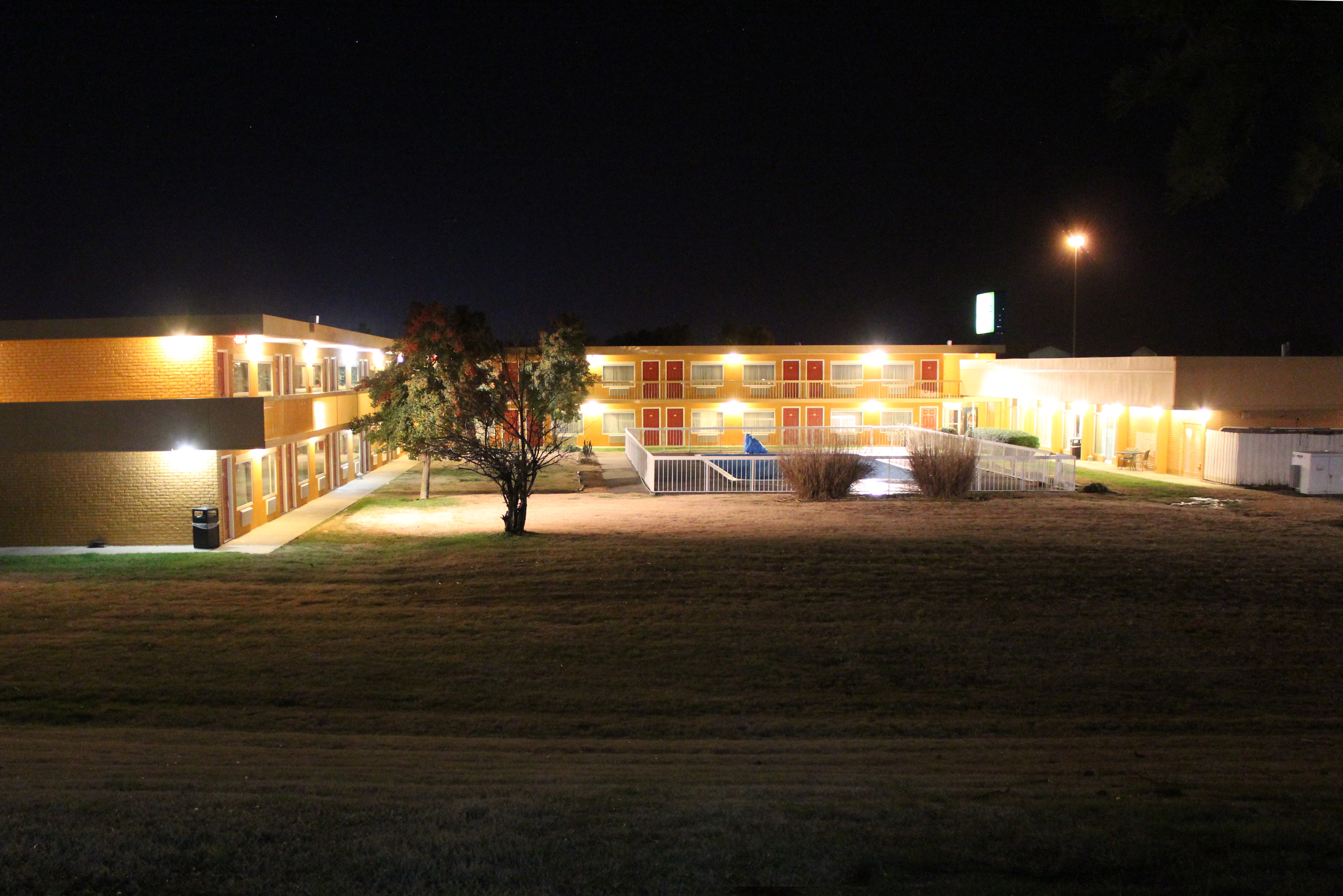
Wingfield Inn

Wingfield Inn
Wingfield Inn
Wingfield Inn

Wingfield Inn

Wingfield Inn
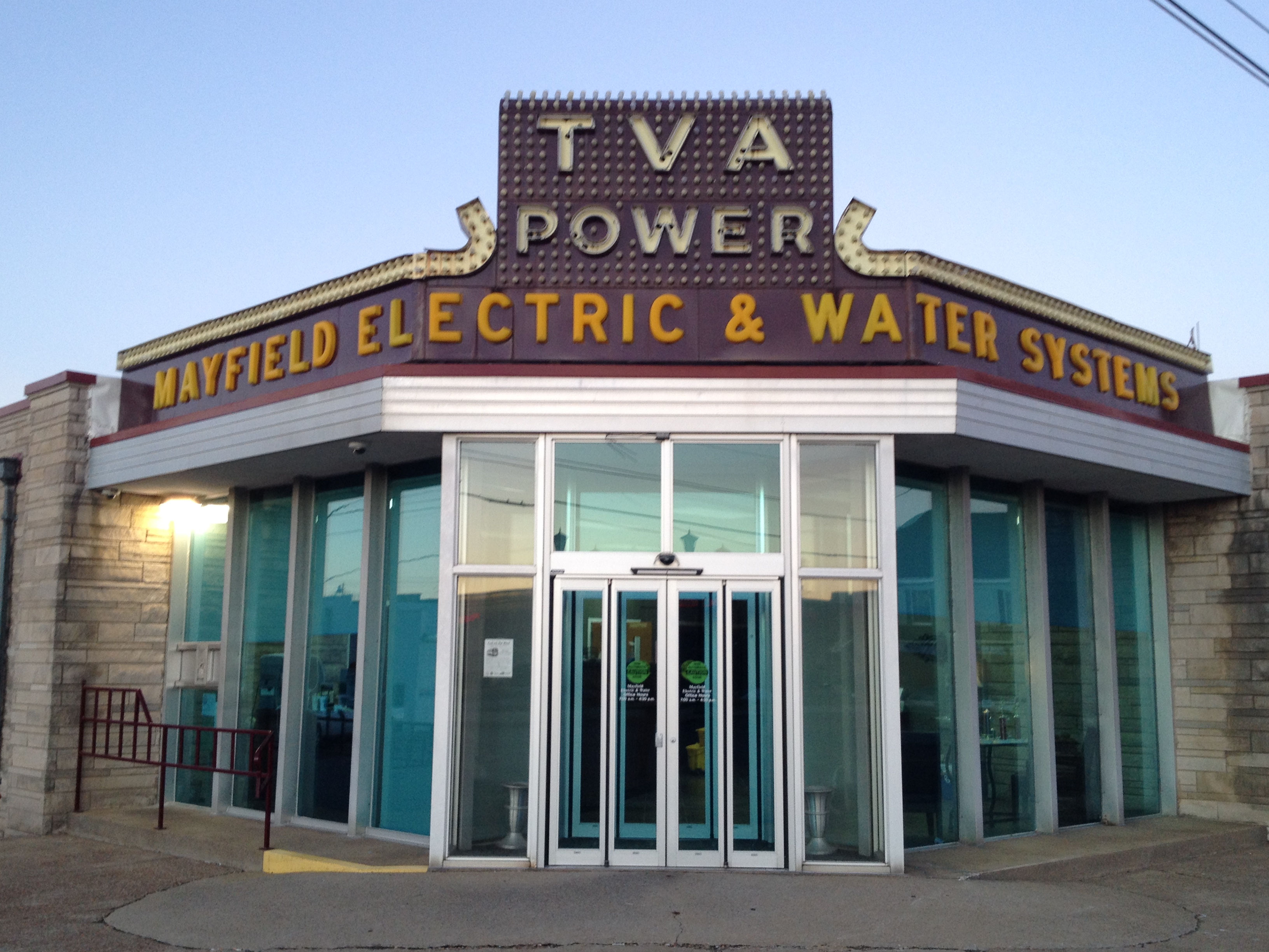
TVA Power

1st Baptist
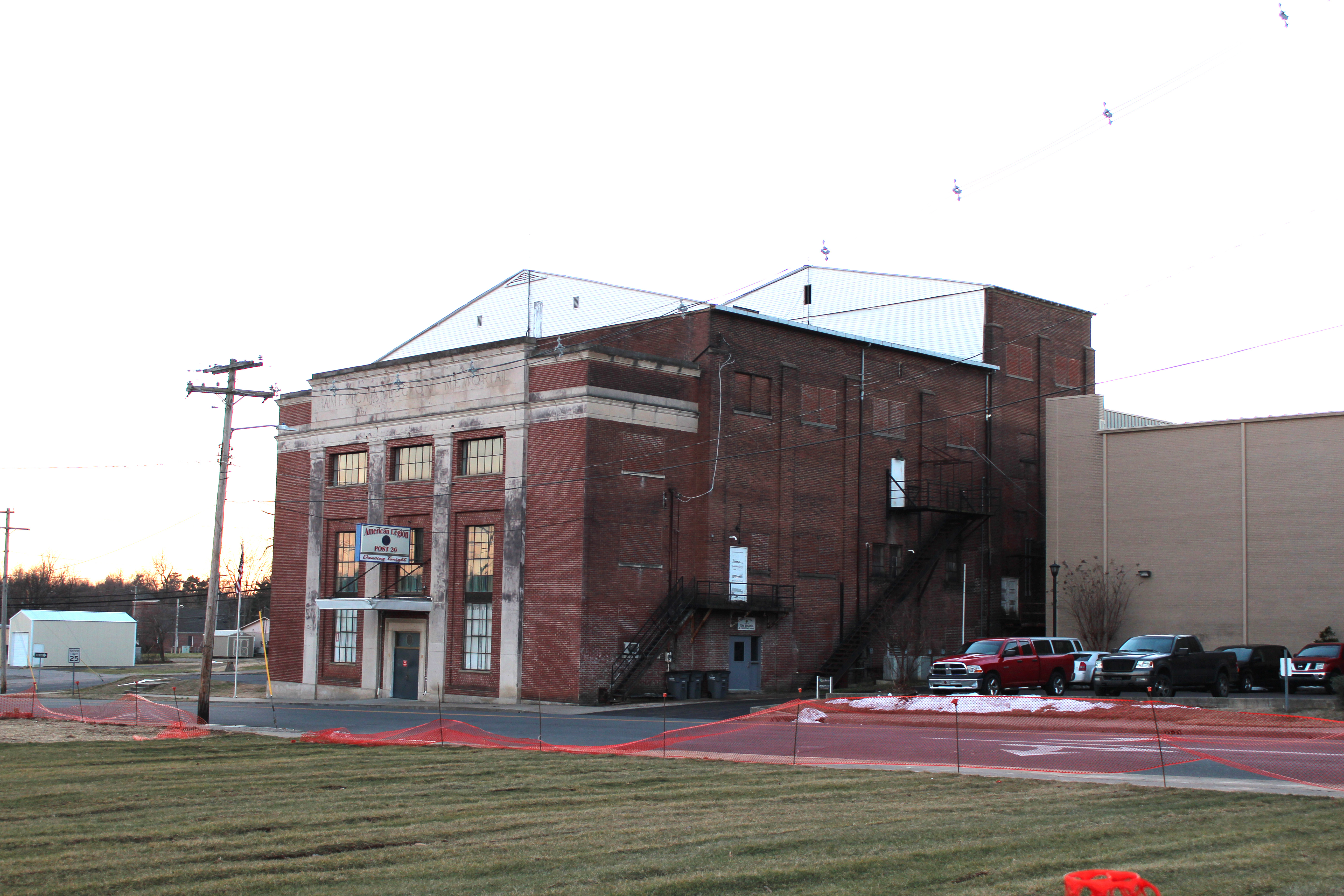
Legion Theatre

KN Root Beer

Mayfield Plaza arcade

TVA at night

TVA sign detail

20150718-IMG_0414

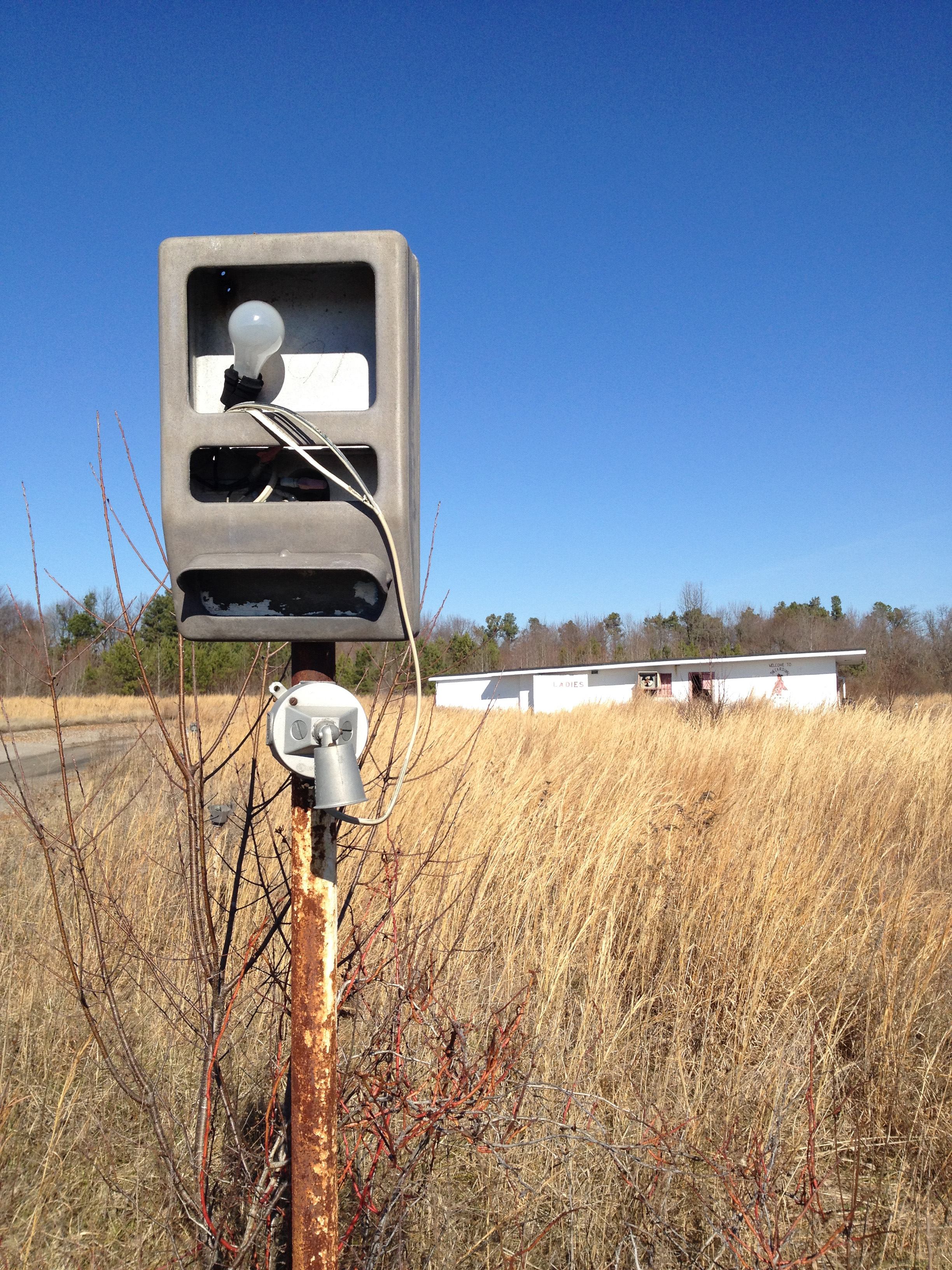
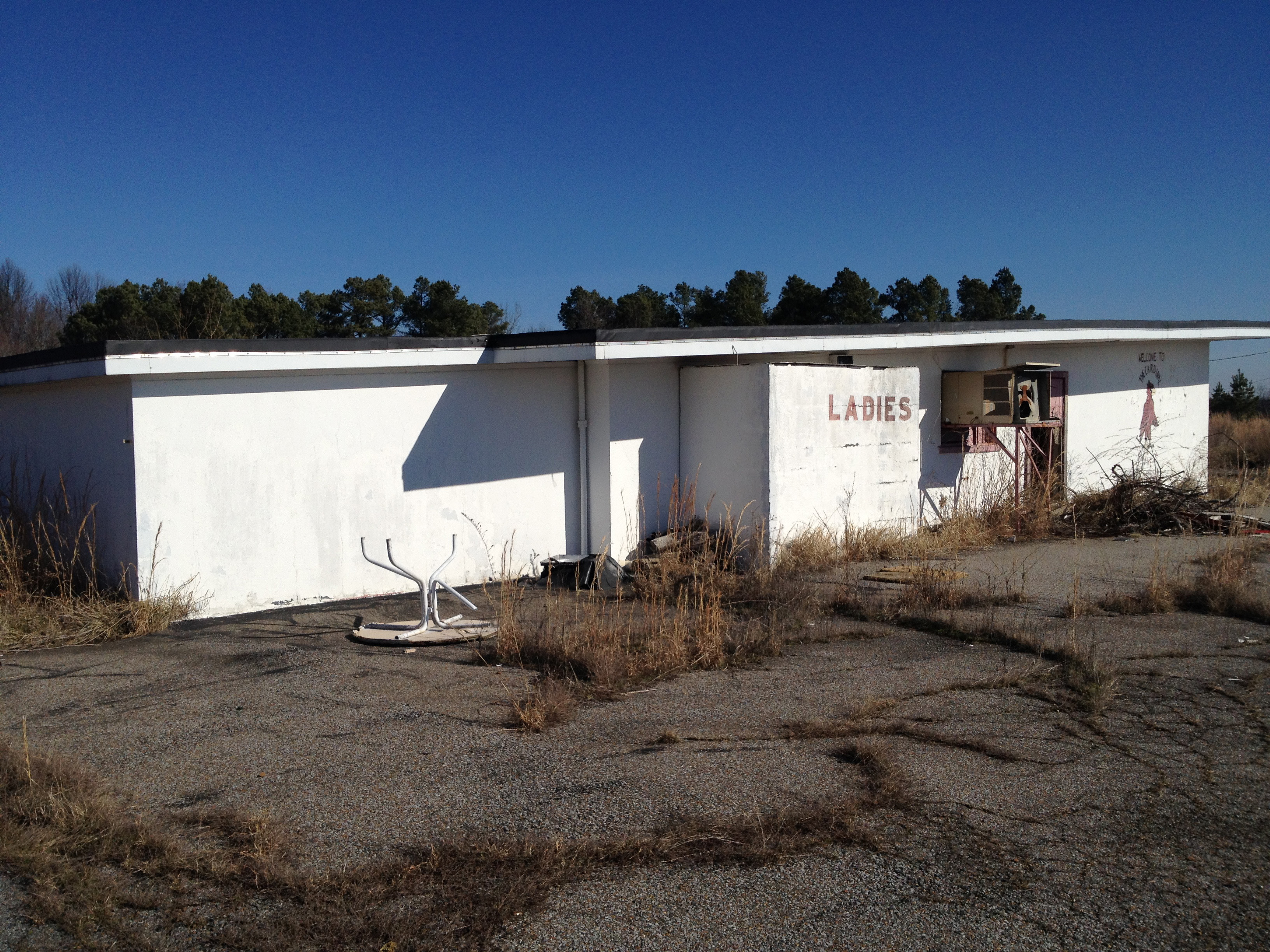
Cardinal Drive-In
Cardinal Drive-In
Cardinal Drive-In

Cardinal Drive-In

Cardinal Drive-In
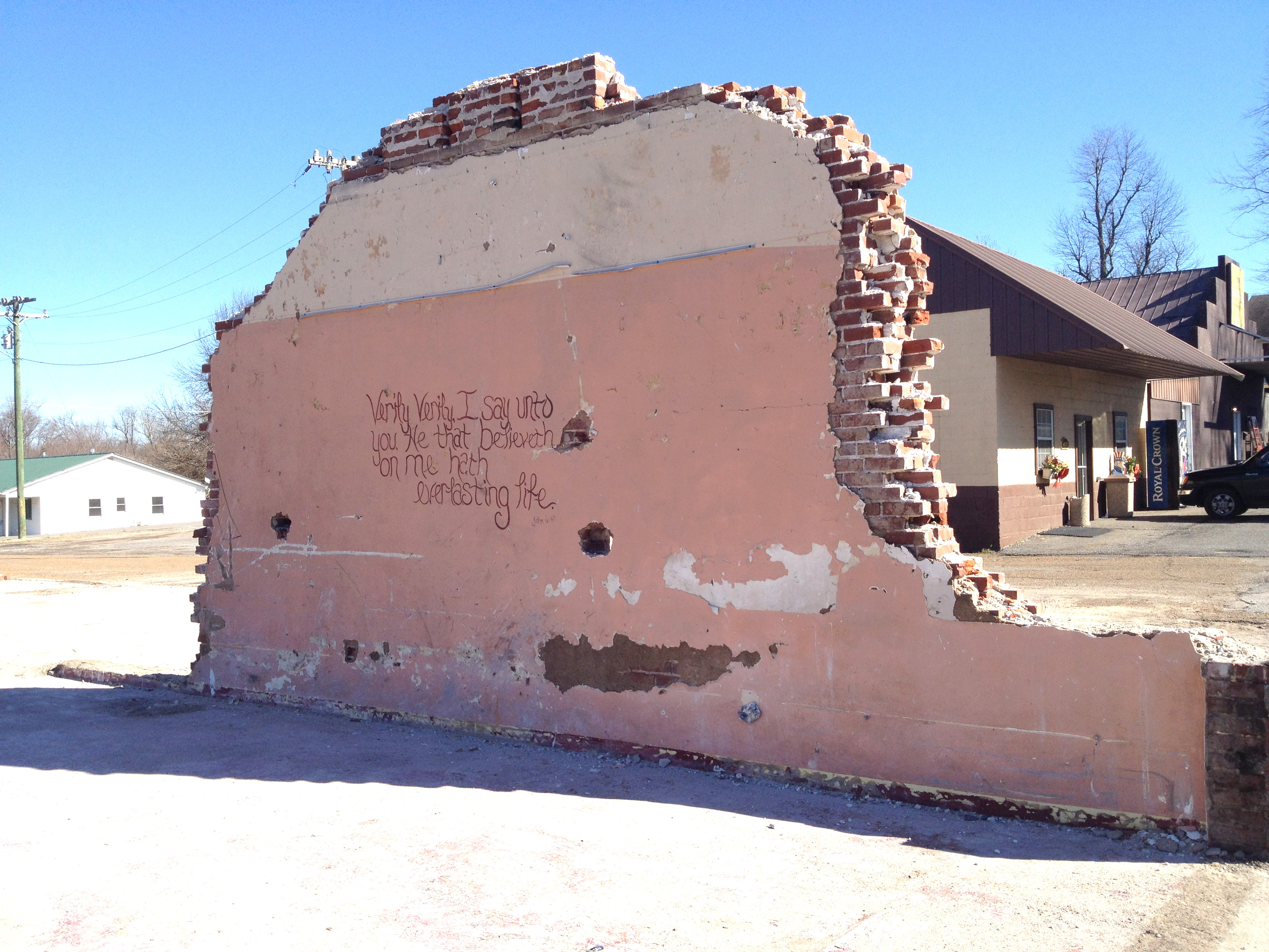
Demolition gospel

Carpet Town
Topographic Map of Graves County, KY, USA
Find elevation by address:

Places in Graves County, KY, USA:
Places near Graves County, KY, USA:
Wingo
Mayfield, KY, USA
145 Bel Aire Dr
1661 Central Rd
1220 Pritchard Rd
U.s. 45
Sellars Road
189 Pleasure Dr
High Point Baptist Church
KY-97, Mayfield, KY, USA
Sedalia
489 Ky-381
489 Ky-381
489 Ky-381
489 Ky-381
489 Ky-381
489 Ky-381
489 Ky-381
489 Ky-381
489 Ky-381
Recent Searches:
- Elevation of Corso Fratelli Cairoli, 35, Macerata MC, Italy
- Elevation of Tallevast Rd, Sarasota, FL, USA
- Elevation of 4th St E, Sonoma, CA, USA
- Elevation of Black Hollow Rd, Pennsdale, PA, USA
- Elevation of Oakland Ave, Williamsport, PA, USA
- Elevation of Pedrógão Grande, Portugal
- Elevation of Klee Dr, Martinsburg, WV, USA
- Elevation of Via Roma, Pieranica CR, Italy
- Elevation of Tavkvetili Mountain, Georgia
- Elevation of Hartfords Bluff Cir, Mt Pleasant, SC, USA