Elevation of Sedalia, KY, USA
Location: United States > Kentucky > Graves County >
Longitude: -88.605241
Latitude: 36.641274
Elevation: 156m / 512feet
Barometric Pressure: 99KPa
Elevation Map:
Satellite Map:
Related Photos:
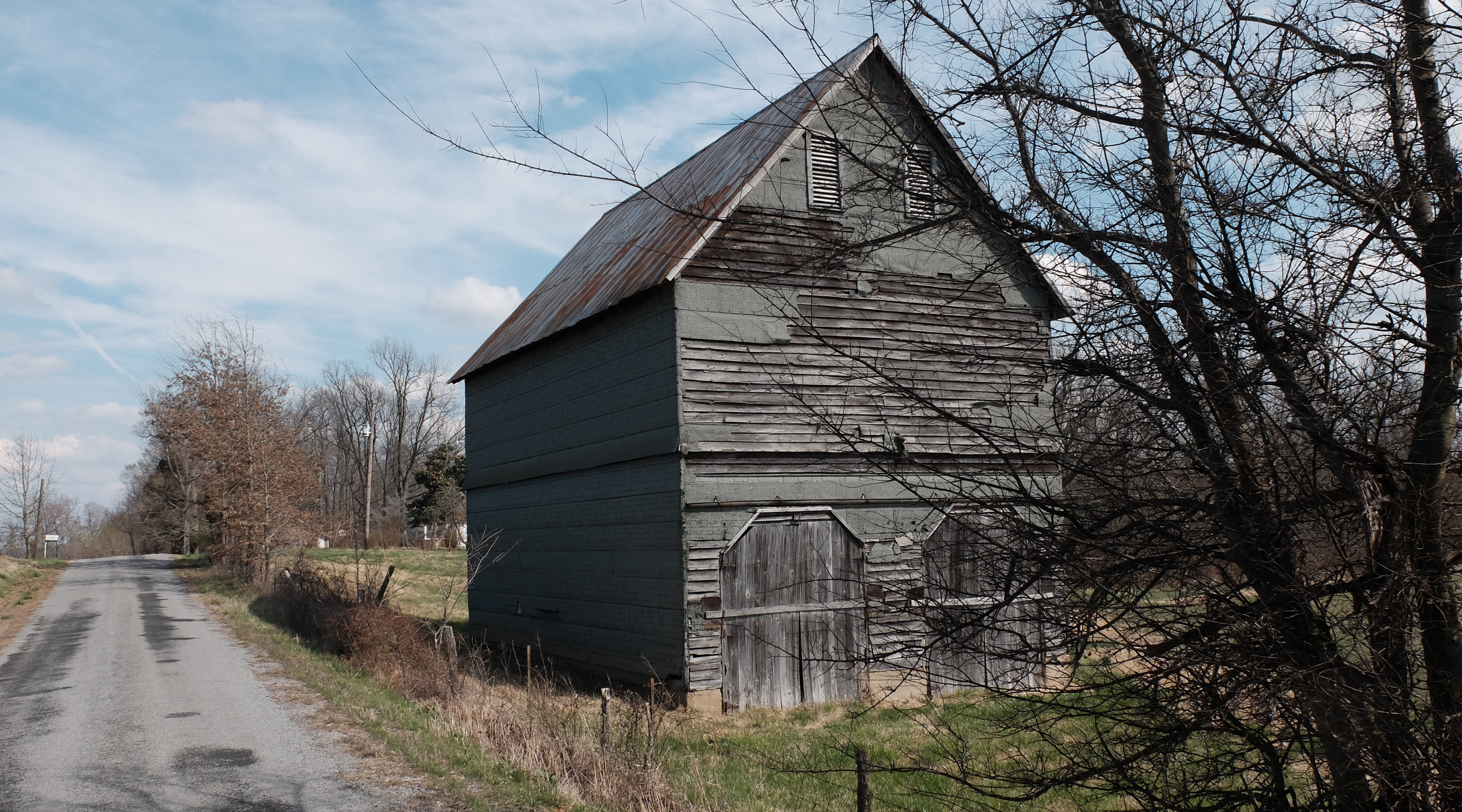
Wingo Barn X30

Golden bales

4:41 PM

Lovely Sunset

1st Baptist
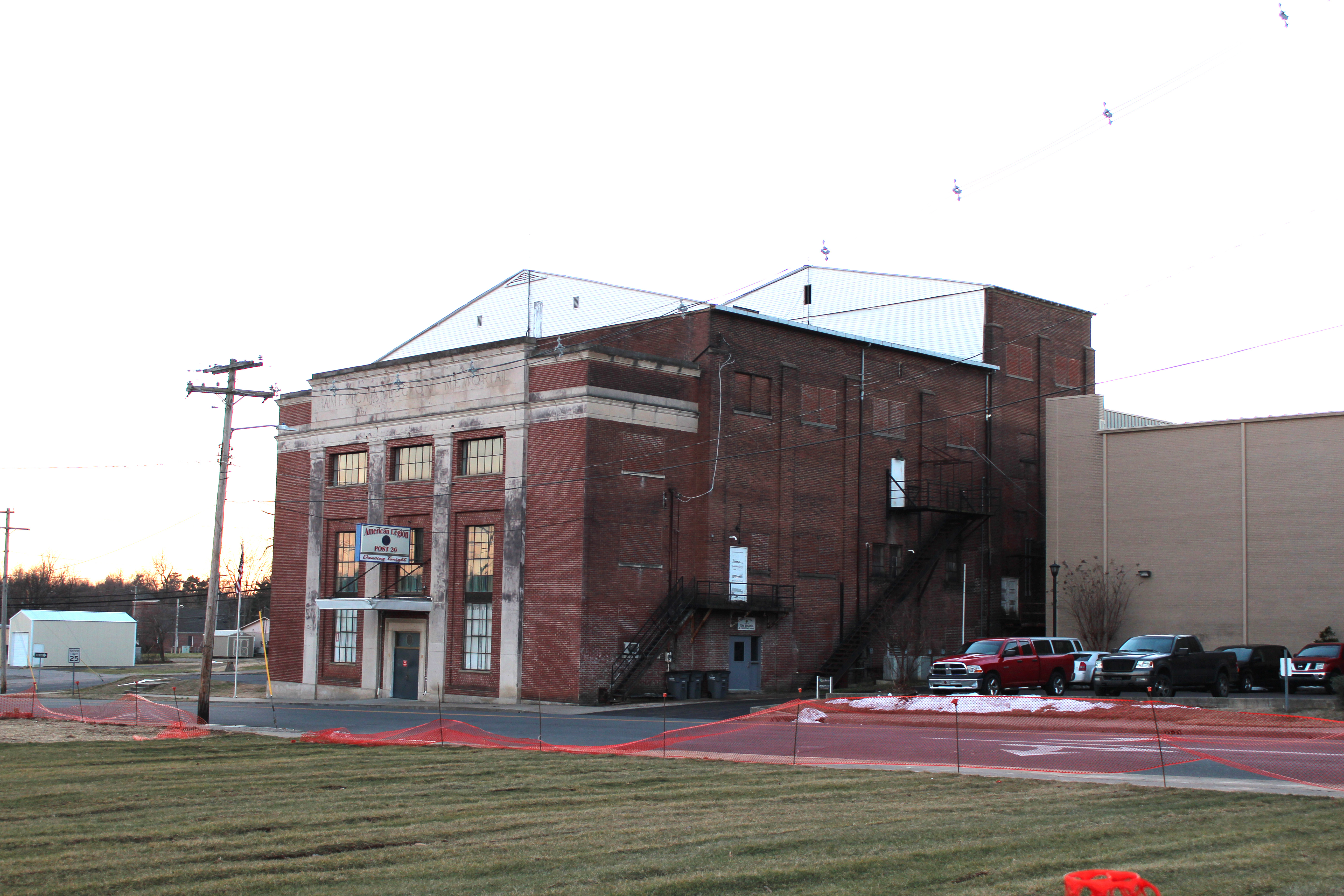
Legion Theatre

KN Root Beer
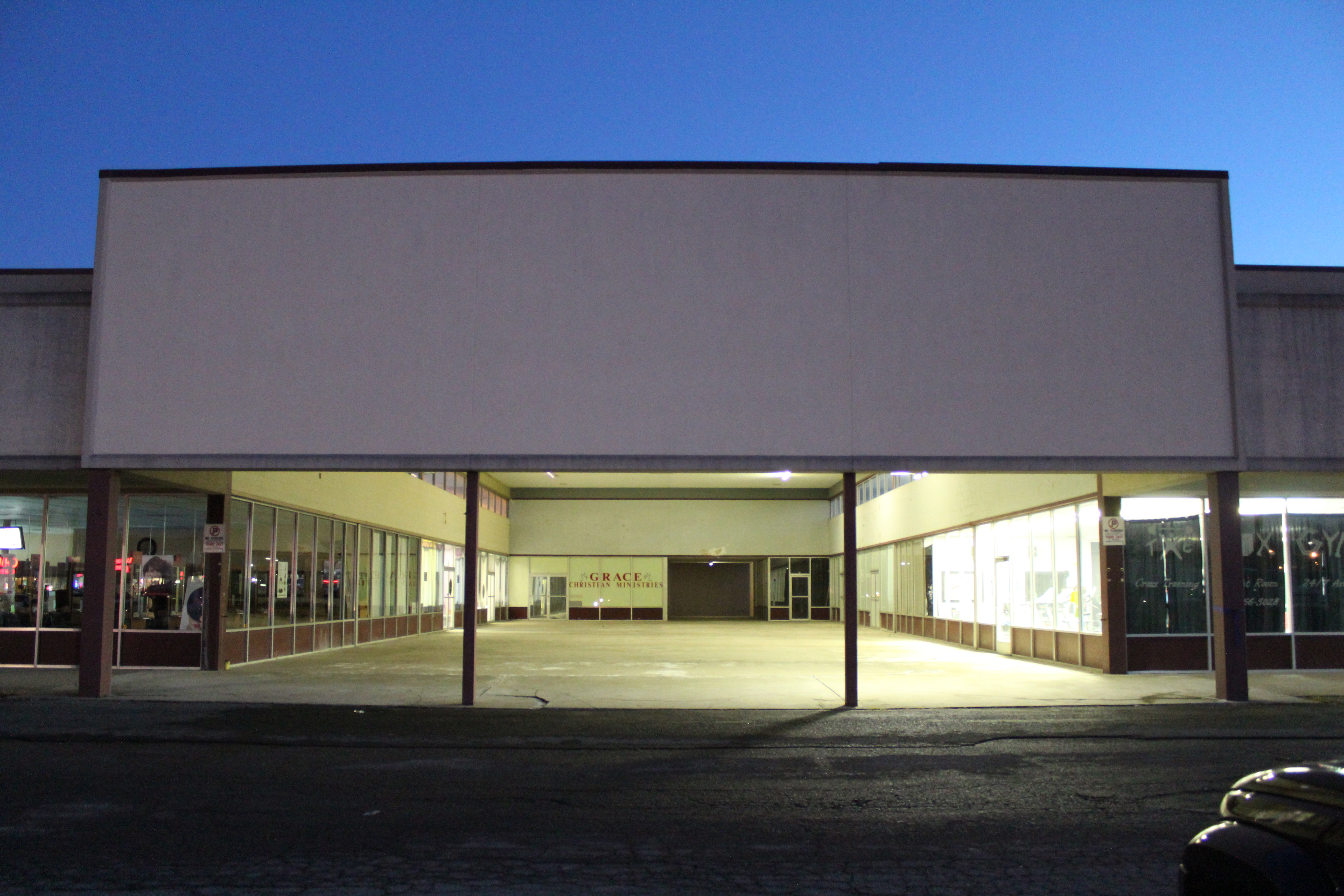
Mayfield Plaza arcade
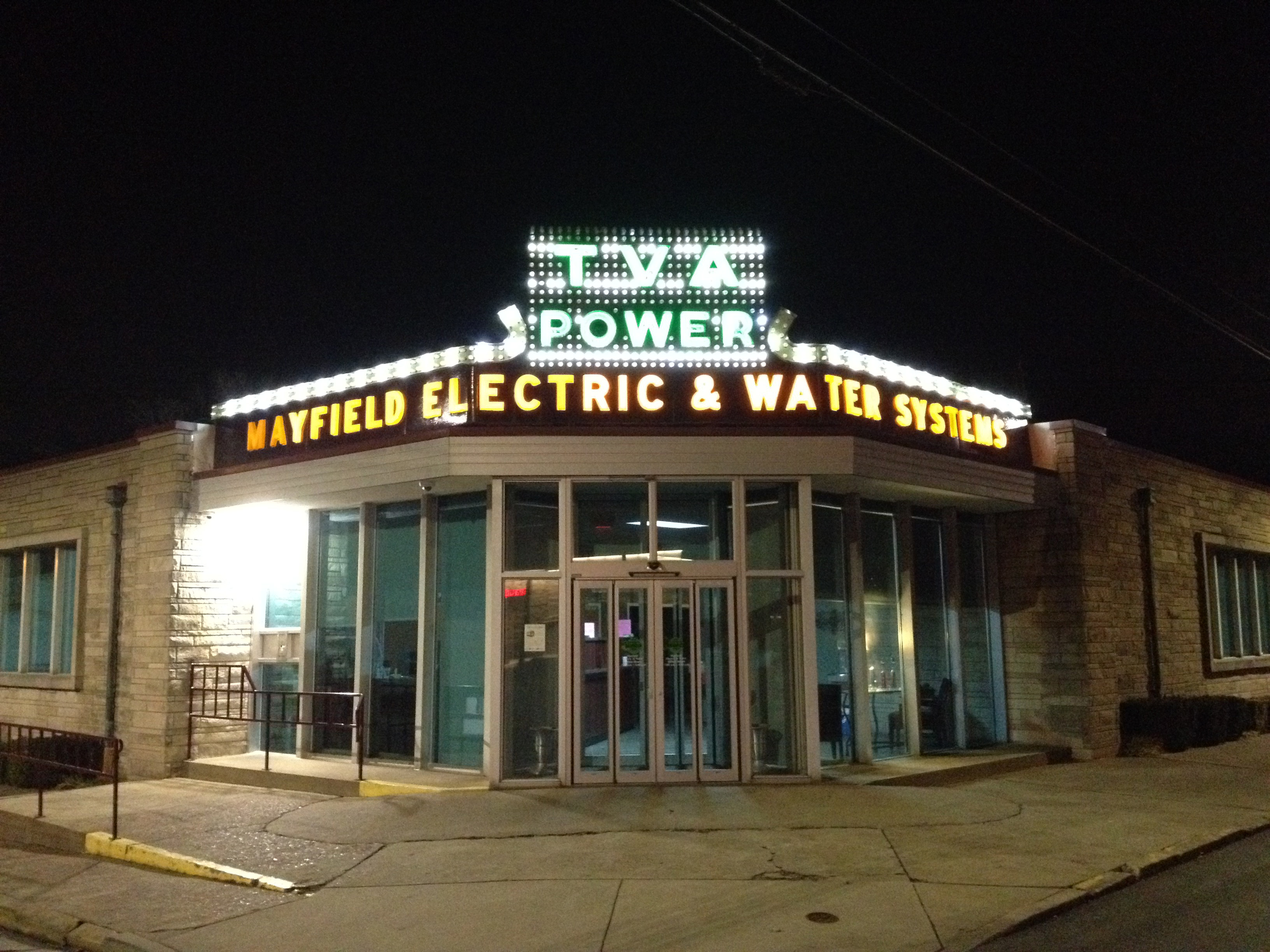
TVA at night

TVA sign detail

20150718-IMG_0414
Cardinal Drive-In
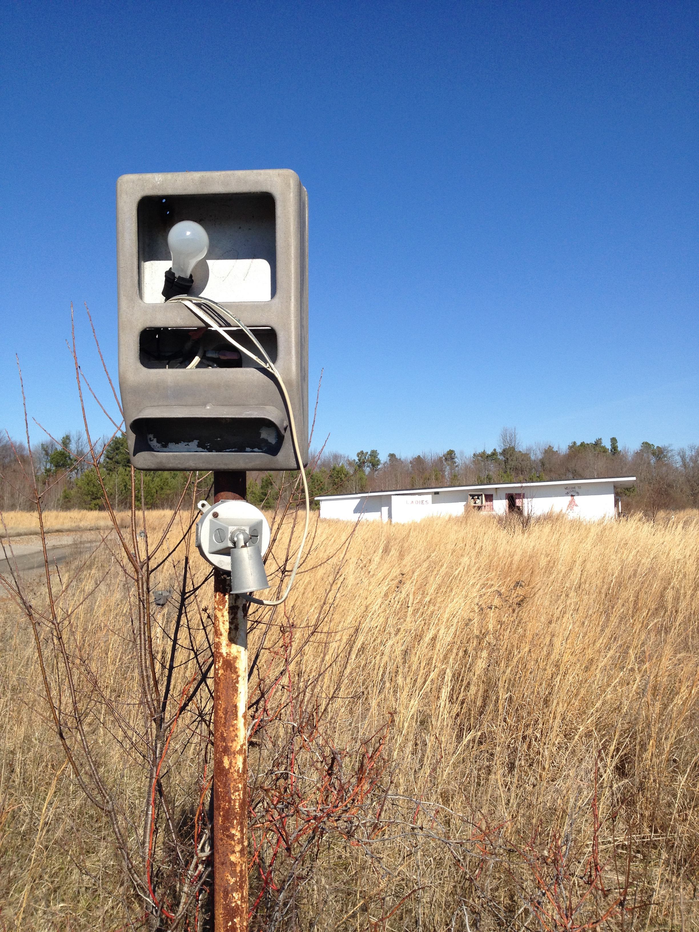
Cardinal Drive-In
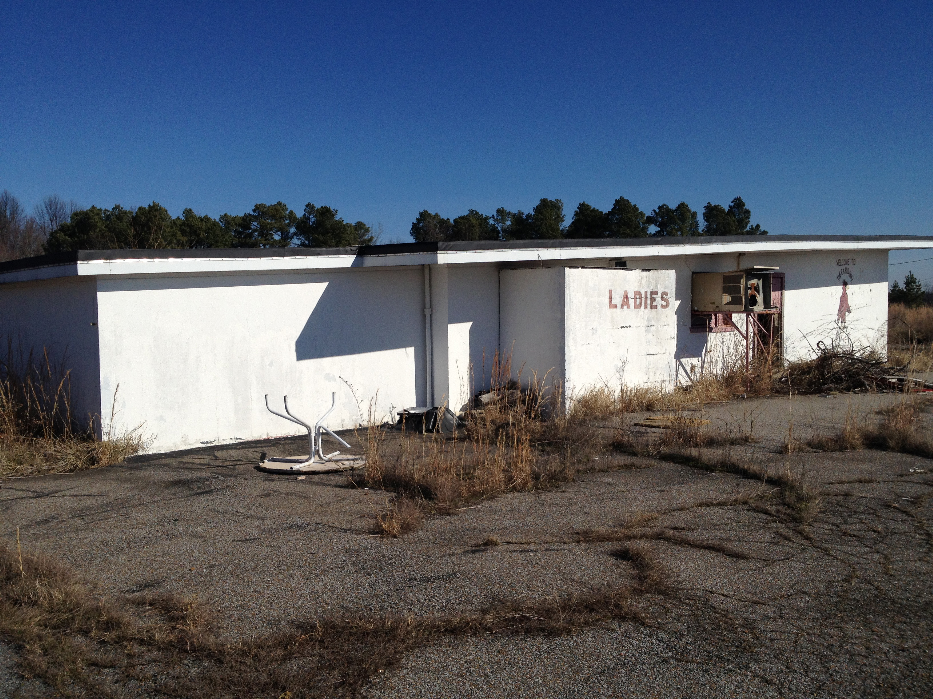
Cardinal Drive-In
Cardinal Drive-In
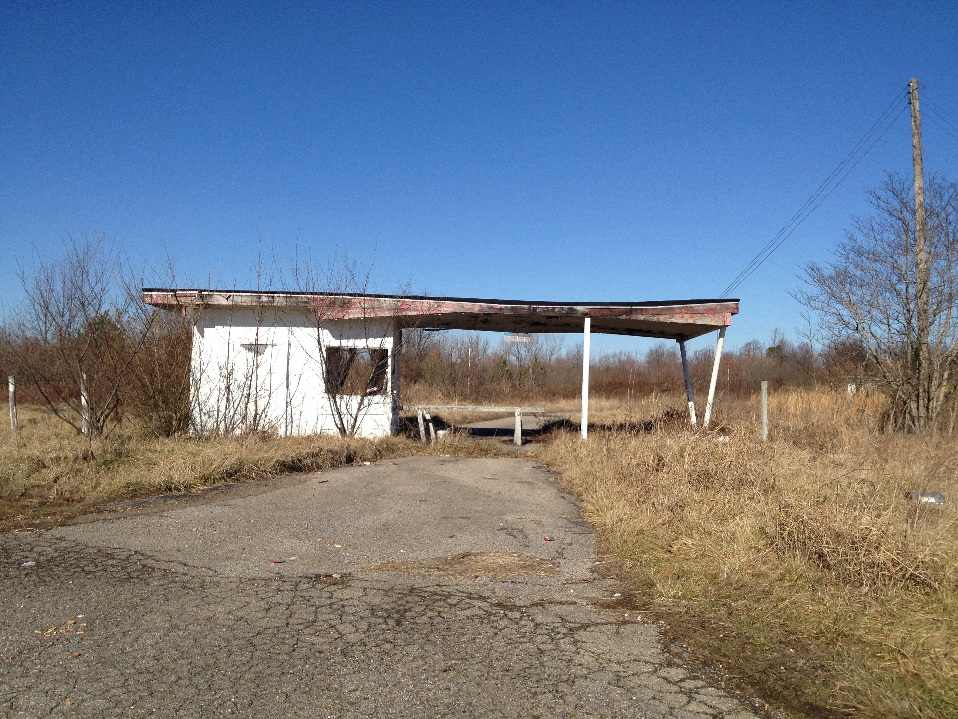
Cardinal Drive-In

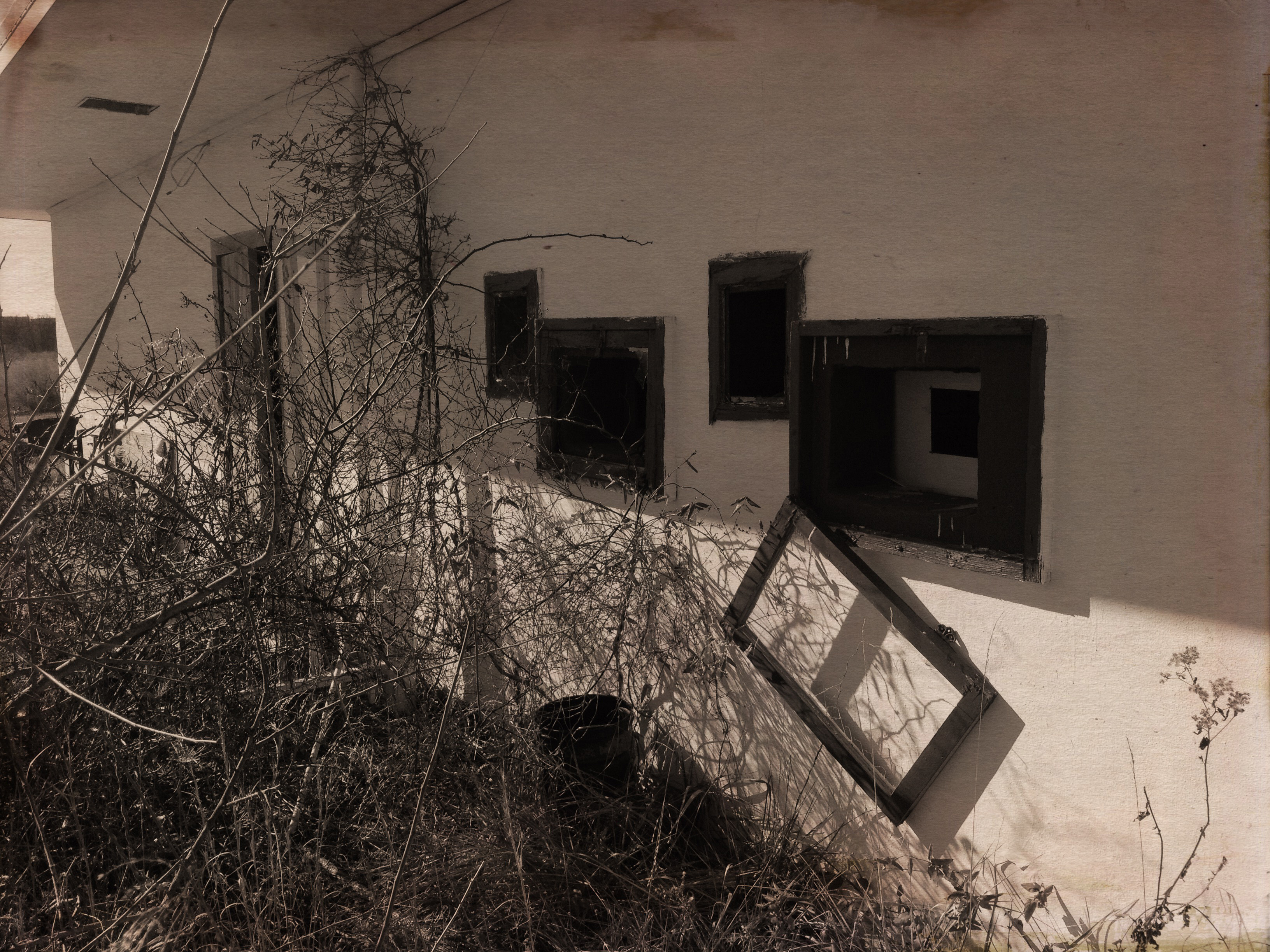
Wingfield Inn

Wingfield Inn
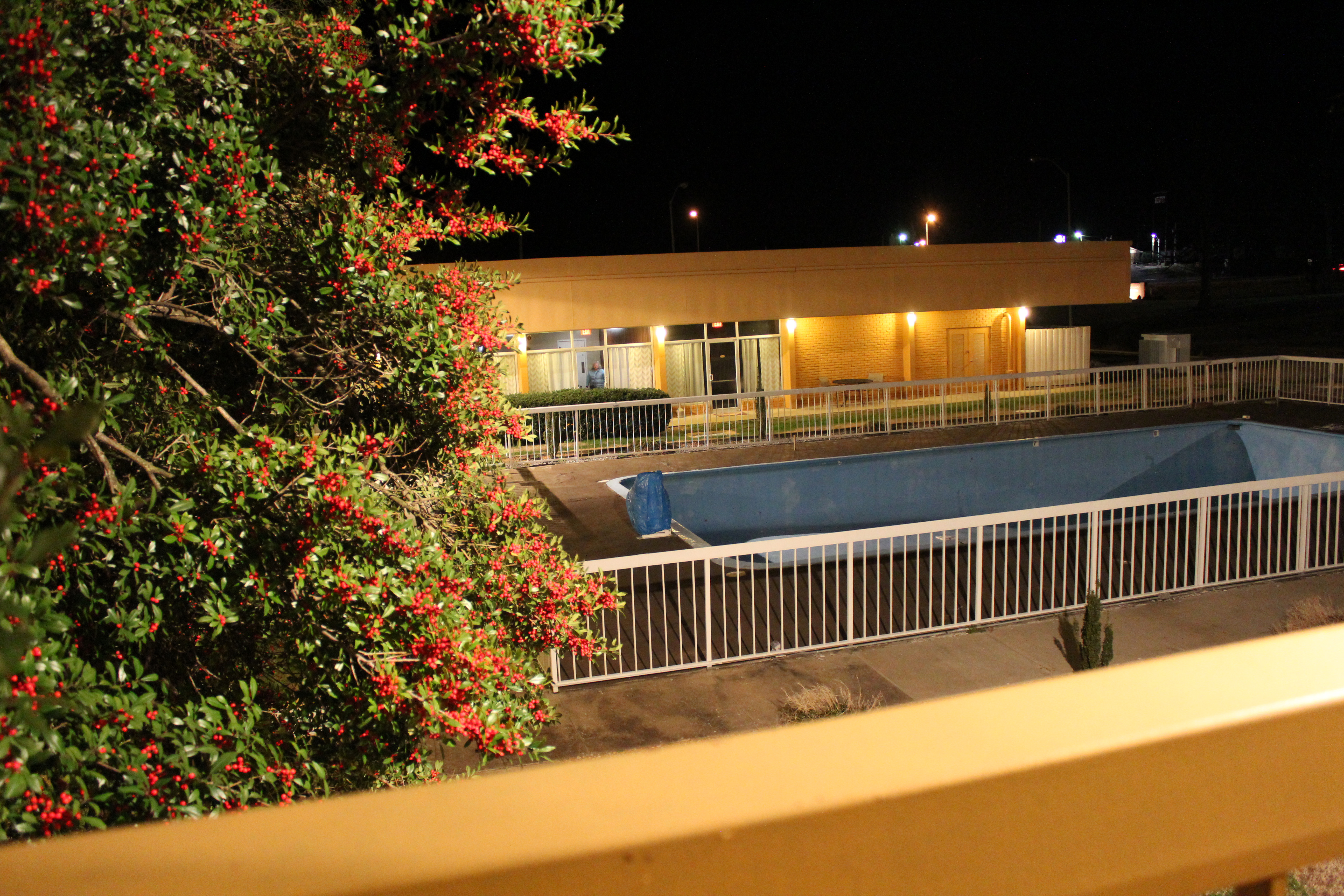
Wingfield Inn
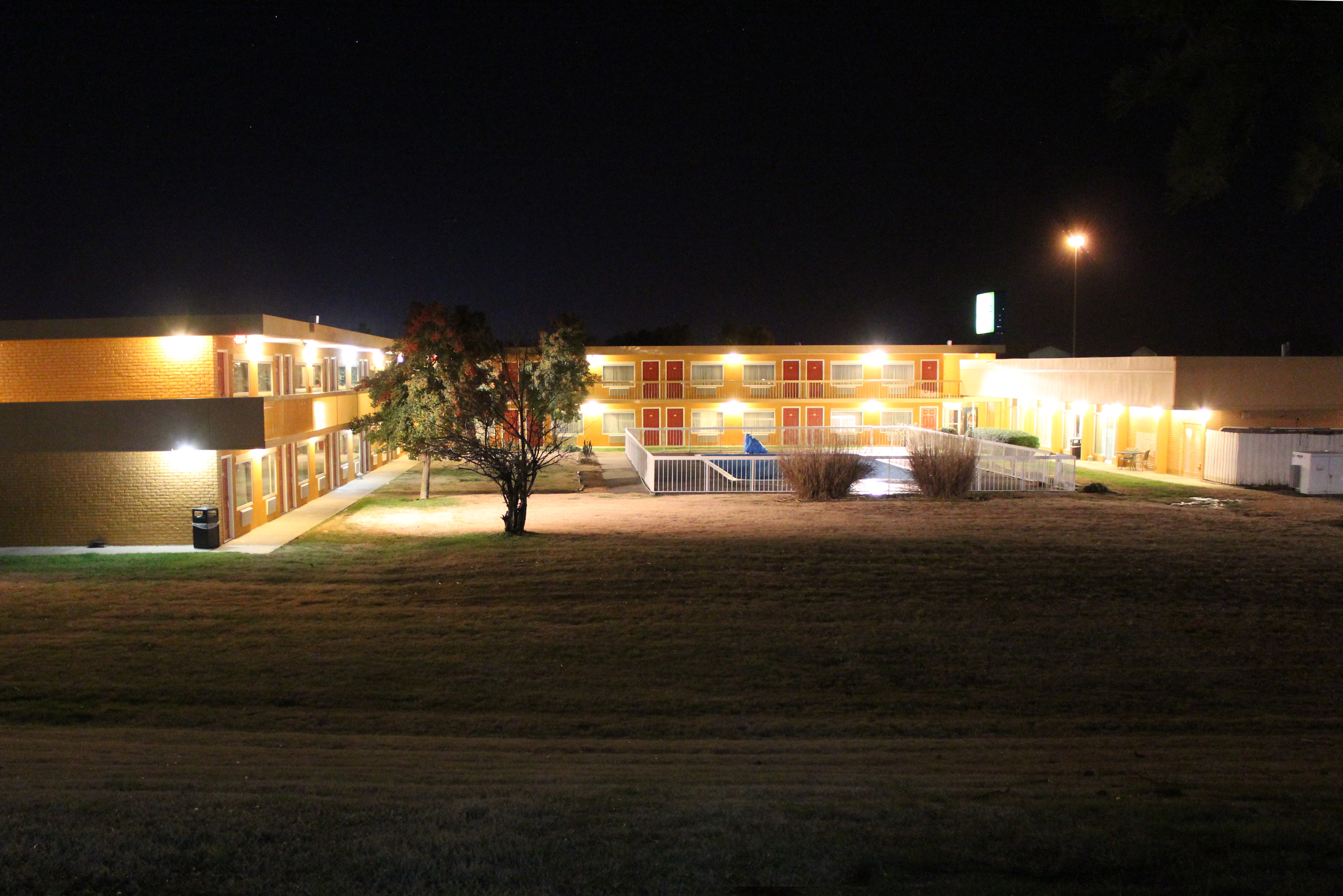
Wingfield Inn
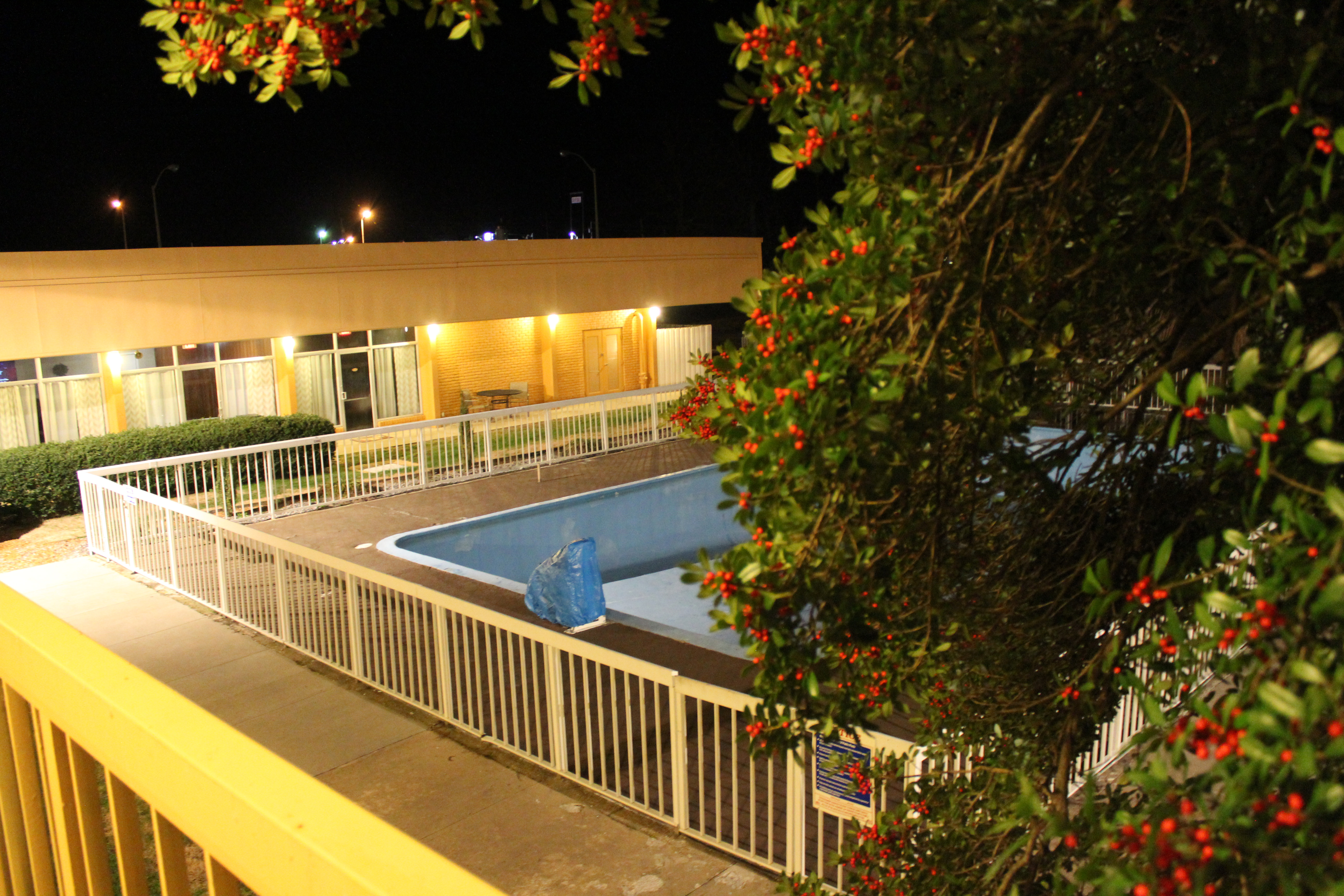
Wingfield Inn

Wingfield Inn
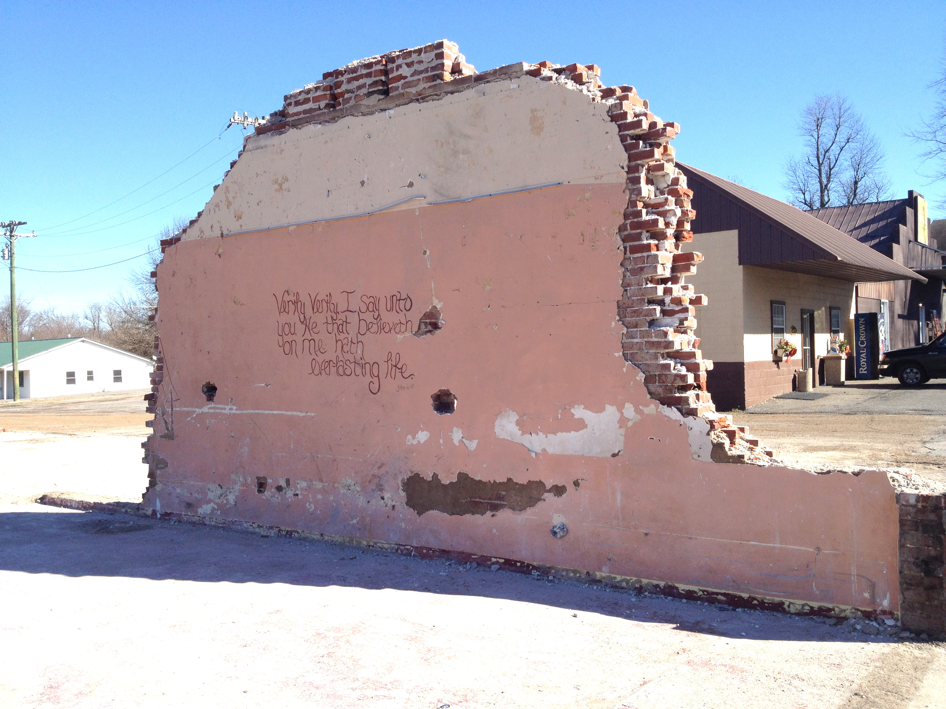
Demolition gospel
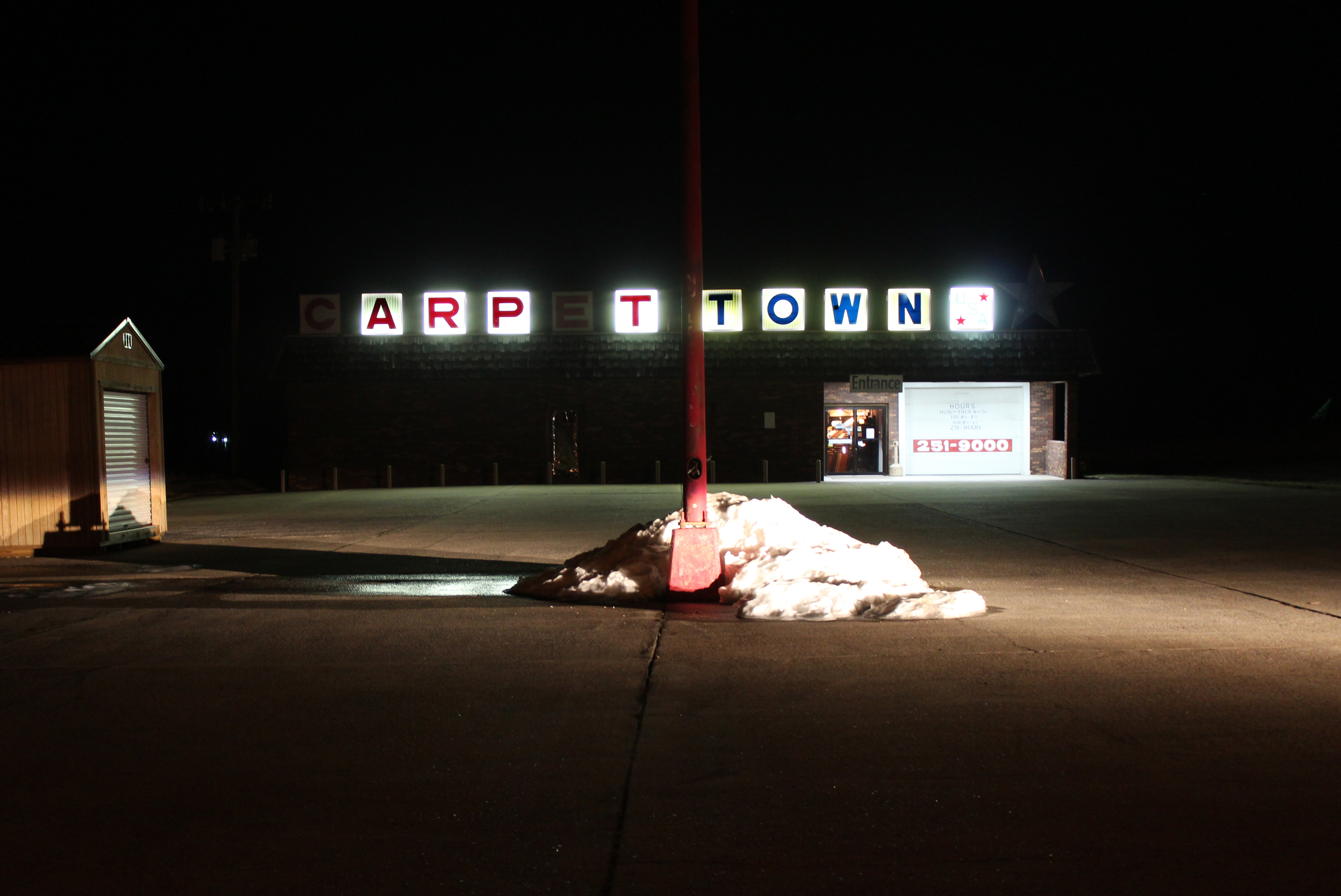
Carpet Town

Graves County courthouse
Topographic Map of Sedalia, KY, USA
Find elevation by address:

Places in Sedalia, KY, USA:
Places near Sedalia, KY, USA:
KY-97, Mayfield, KY, USA
489 Ky-381
489 Ky-381
489 Ky-381
489 Ky-381
489 Ky-381
489 Ky-381
489 Ky-381
489 Ky-381
489 Ky-381
489 Ky-381
189 Pleasure Dr
1661 Central Rd
High Point Baptist Church
U.s. 45
1220 Pritchard Rd
Mayfield, KY, USA
145 Bel Aire Dr
Graves County
Wingo
Recent Searches:
- Elevation of Corso Fratelli Cairoli, 35, Macerata MC, Italy
- Elevation of Tallevast Rd, Sarasota, FL, USA
- Elevation of 4th St E, Sonoma, CA, USA
- Elevation of Black Hollow Rd, Pennsdale, PA, USA
- Elevation of Oakland Ave, Williamsport, PA, USA
- Elevation of Pedrógão Grande, Portugal
- Elevation of Klee Dr, Martinsburg, WV, USA
- Elevation of Via Roma, Pieranica CR, Italy
- Elevation of Tavkvetili Mountain, Georgia
- Elevation of Hartfords Bluff Cir, Mt Pleasant, SC, USA