Elevation of Grant, MT, USA
Location: United States > Montana > Beaverhead County >
Longitude: -113.06697
Latitude: 45.0085344
Elevation: 1771m / 5810feet
Barometric Pressure: 82KPa
Elevation Map:
Satellite Map:
Related Photos:
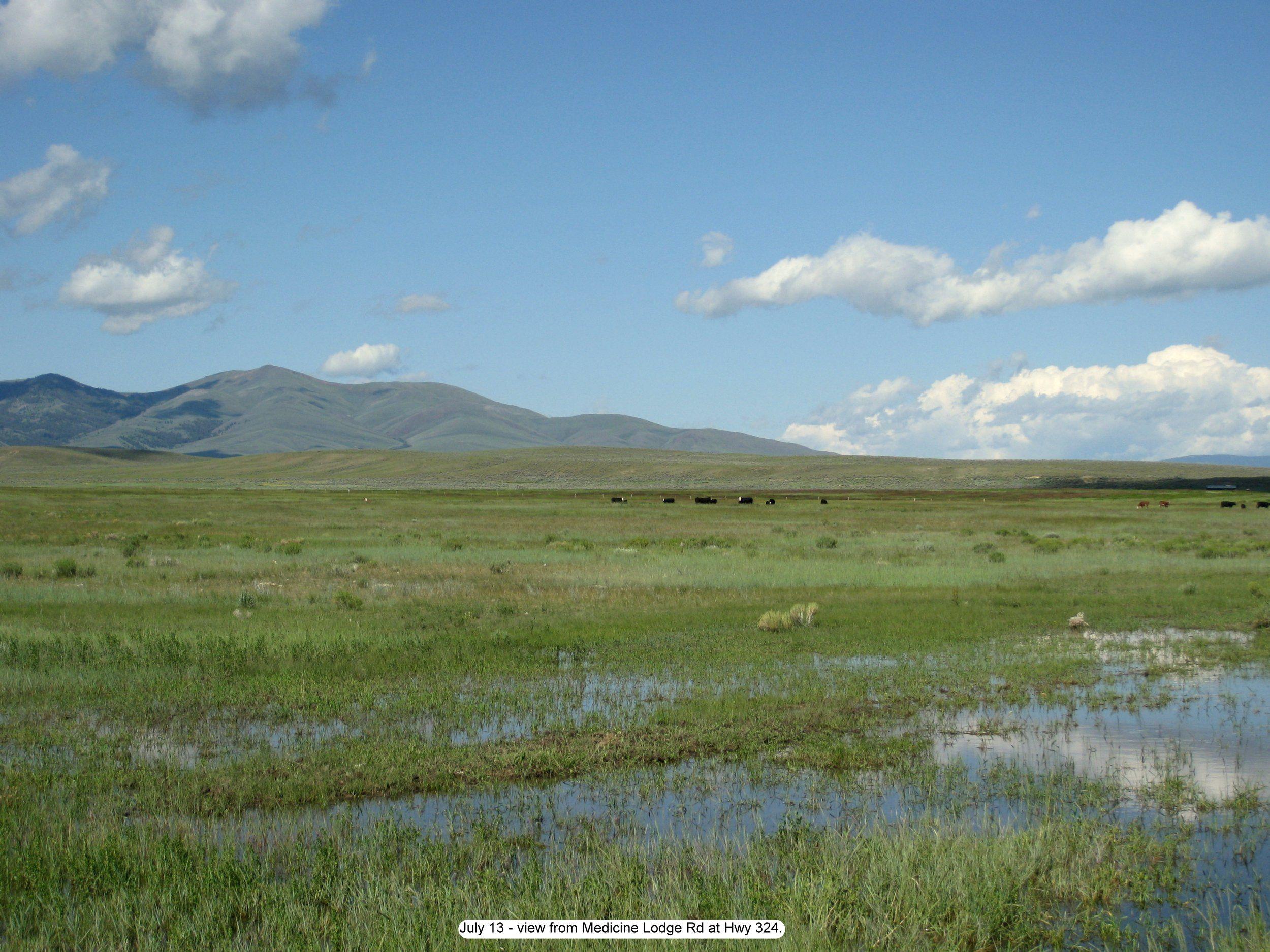
Photo
Topographic Map of Grant, MT, USA
Find elevation by address:

Places near Grant, MT, USA:
Bannack State Park
Bannack
Bannack Bench Rd, Dillon, MT, USA
Beaverhead County
Dillon, MT, USA
Grayling
Big Hole Divide
Painter Peak
Bloody Dick Peak
4970 Argenta Rd
Gallagher Mountain
340 Miracle Mountain Dr
Polaris
Alturas No. 1 Mountain
Alturas No. 2 Mountain
9277 Pioneer Mountains Scenic Byway
9277 Pioneer Mountains Scenic Byway
Tent Mountain
504 Sawtooth Rd
Humbolt Mountain
Recent Searches:
- Elevation of Corso Fratelli Cairoli, 35, Macerata MC, Italy
- Elevation of Tallevast Rd, Sarasota, FL, USA
- Elevation of 4th St E, Sonoma, CA, USA
- Elevation of Black Hollow Rd, Pennsdale, PA, USA
- Elevation of Oakland Ave, Williamsport, PA, USA
- Elevation of Pedrógão Grande, Portugal
- Elevation of Klee Dr, Martinsburg, WV, USA
- Elevation of Via Roma, Pieranica CR, Italy
- Elevation of Tavkvetili Mountain, Georgia
- Elevation of Hartfords Bluff Cir, Mt Pleasant, SC, USA